Hurricane Hilary is headed toward L.A., San Diego. What to know and how to stay safe

- Share via
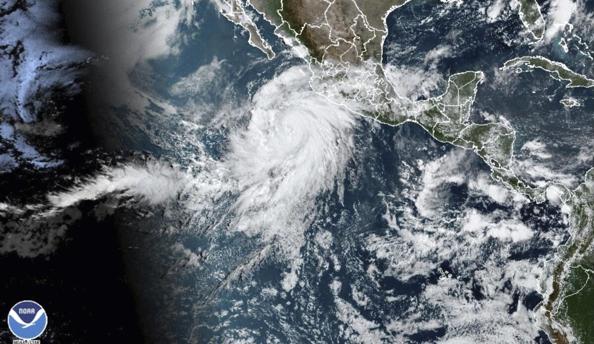
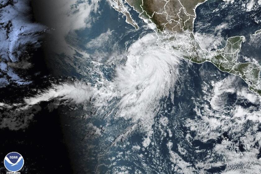
Hurricane Hilary is moving toward Southern California, with its impact to be felt beginning Saturday through at least Tuesday.
While the specific path and forecast remain unclear, here are details of what we know now and how to prepare:
The forecast
- Thursday morning updates showed the hurricane’s track moving slightly more east than prior paths, with projections showing the system making landfall as a tropical storm in the Baja California peninsula — but timing and strength remain the main uncertainty.
- Early effects from the storm could be felt as early as Thursday, when temperatures should begin to slightly dip as humidity increases.
- Heavy rains are officials’ main concern, with rainfall expected to begin as early as Saturday afternoon in Southern California’s mountains and deserts. Precipitation will be widespread by Sunday into Monday. Rains could continue into Tuesday, forecasts show.
- Rainfall could amount to more than 10 inches by Tuesday in the mountains and deserts of San Diego and Riverside counties, according to the National Hurricane Center.
- Almost all of Southern California can expect up to 4 inches of rain through Tuesday.
- High winds, potentially reaching sustained 40 mph speeds, could begin to hit late Sunday.
- Dangerous conditions in Southern California coastal waters.
- Forecasters believe many area riverbeds and dry ground will be able to absorb much of the precipitation, but flash floods are a growing concern, depending on the speed of the rainfall.
Although Hurricane Hilary may not be as strong when it reaches California, it is still expected to drop a considerable amount of rain on the region.
Protecting yourself
Officials stressed Hilary will downgrade considerably as it moves north toward Southern California. But the exact strength and impact remain unclear.
Still, officials are urging caution.
Here are some general tips from the Federal Emergency Management Agency:
- Know your evacuation zone.
- If you are under a hurricane warning, hurricane conditions are expected in your area. Complete storm preparations and immediately leave the threatened area if directed to by local officials. If you are under a hurricane watch, hurricane conditions are possible. Review your emergency and evacuation plans and pay attention to local officials’ directions.
- Determine your best protection for high winds and flooding. Evacuate if told to do so. Take shelter in a designated storm shelter or an interior room for high winds.
- Listen for emergency information and alerts.
- Use generators only outdoors and away from windows.
- Do not walk, swim or drive through flood waters; depth and velocity are not always obvious; the ground or road may suddenly wash away and hidden dangers may exist.
- Evacuate if advised.
- Seek high ground (for flash flooding) or stay on high ground.
Here are some general disaster preparations to have done, from the Centers for Disease Control and Prevention:
- An emergency food and water supply.
- An emergency medicine supply.
- Emergency power sources such as flashlights (don’t forget extra batteries).
- Safety and personal items.
- Important documents, including medical documents, wills, passports, and personal identification.
- A fire extinguisher. Make sure your family knows where to find it and how to use it. Read the National Fire Protection Assn.’s tips for using fire extinguishers.
More to Read
Sign up for Essential California
The most important California stories and recommendations in your inbox every morning.
You may occasionally receive promotional content from the Los Angeles Times.


