Stormy repeat: NOAA predicts busy Atlantic hurricane season

- Share via
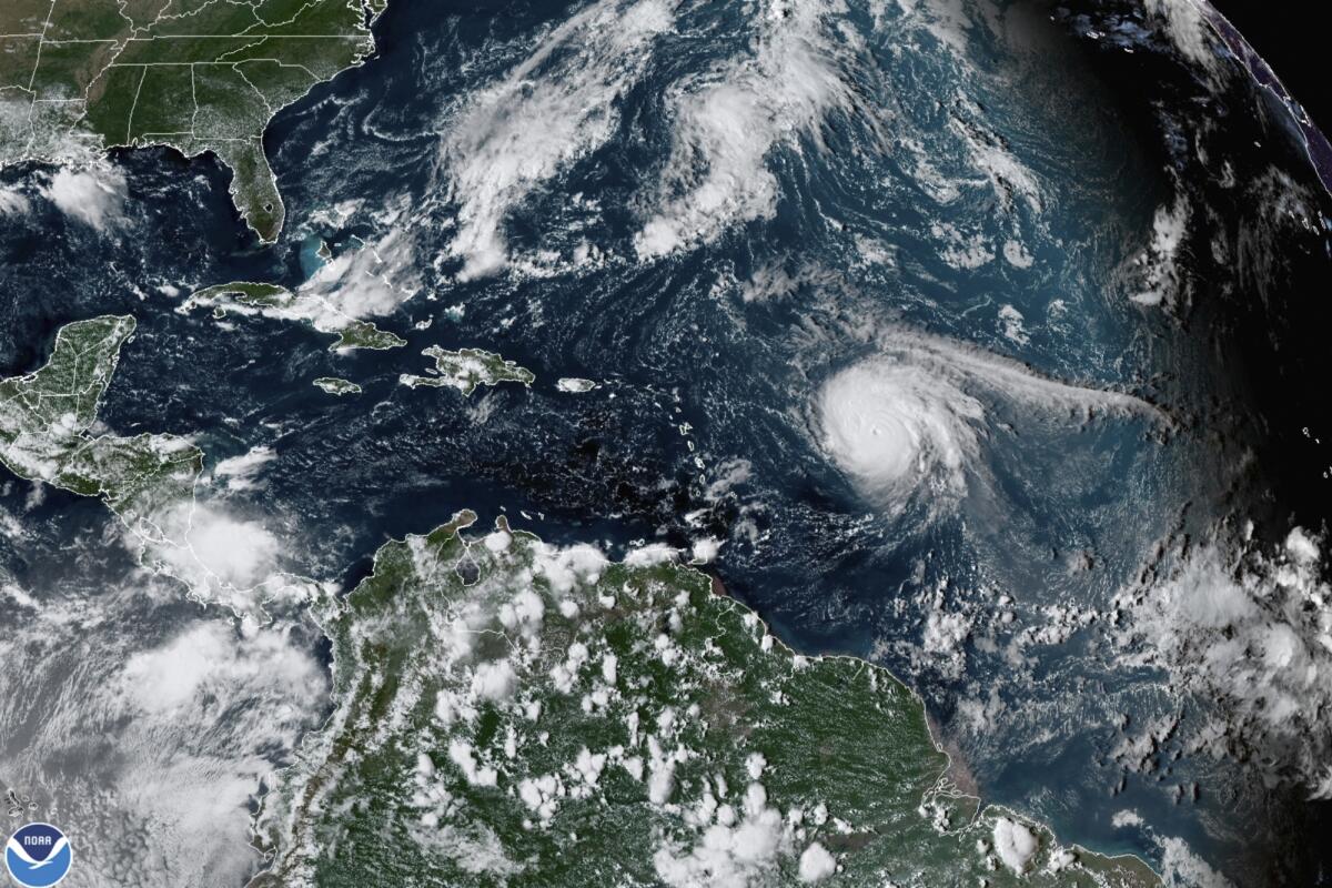
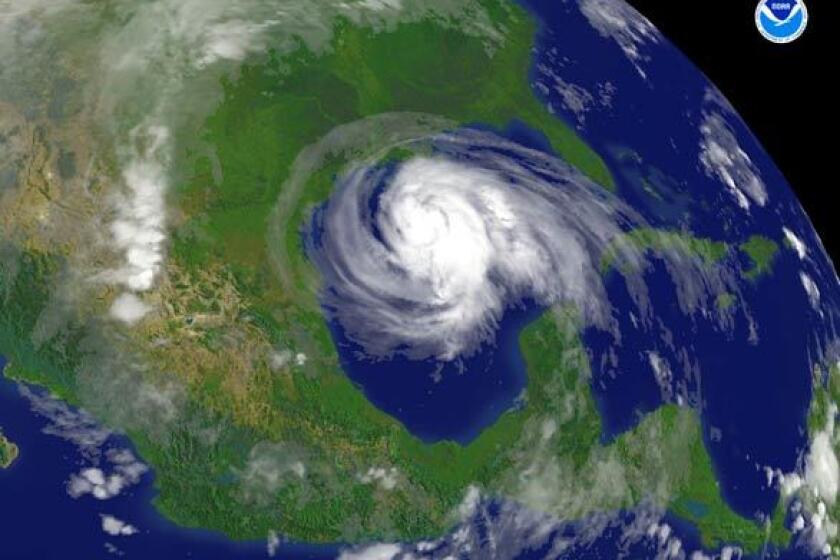
Federal meteorologists are forecasting a record-shattering seventh straight unusually busy Atlantic hurricane season.
The National Oceanic and Atmospheric Administration predicted Tuesday that the Atlantic will produce 14 to 21 named storms this summer, with six to 10 becoming hurricanes and three to six turbo-charging into major hurricanes with winds greater than 110 mph.
Even with normals shifting upward to reflect more active storm seasons in recent decades, these predictions are above the 30-year average of 14 named storms, seven hurricanes and three major hurricanes.
The National Hurricane Center ran out of names for Atlantic storms in the last two years, with a record-setting 30 named storms in 2020 and 2021 last year. In the past five years there have been more Category 4 and 5 hurricane landfalls in the United States than in the previous 50 years combined.
Toward a more sustainable California
Get Boiling Point, our newsletter exploring climate change, energy and the environment, and become part of the conversation — and the solution.
You may occasionally receive promotional content from the Los Angeles Times.
This hurricane season “is going to be similar to last year, and given that you need only one bad storm to dramatically affect your life, if you fail to plan around this outlook, you’re planning to fail,” said NOAA Administrator Rick Spinrad. “You can take this outlook to the bank literally when it looks to protecting your property.”
While climate change did not cause Hurricane Harvey, it could explain the intensity of this tropical cyclone as well as other catastrophic storms that have hit the United States in recent years, experts say.
Every weather factor pointed to a busier season, said Matthew Rosencrans, lead hurricane season outlook forecaster for NOAA’s Climate Prediction Center. He pointed to a multidecade-long trend to more storms in the Atlantic, an active monsoon season in West Africa, a La Niña — the natural and occasional cooling of parts of the equatorial Pacific that changes weather worldwide — and warmer than normal ocean temperatures, which scientists say are stoked by climate change.
Several independent hurricane experts agree with NOAA that the Atlantic conditions are ripe for yet another active hurricane season. They say La Niña reduces wind shear that could decapitate storms. The warmer water — about half a degree warmer (0.3 degrees Celsius) than last year in storm-forming areas, according to Rosencrans — serves as hurricane fuel. A reduction in pollution particles in the air has taken away artificial cooling in the Atlantic and a new study links that to increasing storms.
Last week President Biden also warned the nation about “another tough hurricane season” coming.
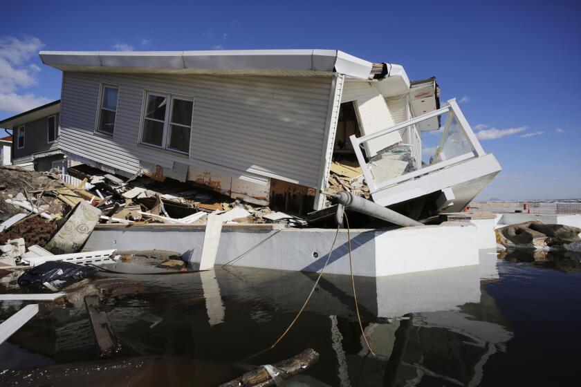
“We’re seeing these storms happen more frequently. They’re lasting longer,” FEMA Administrator Deanne Criswell said in a New York City press conference. NOAA says 13 people in the city died during Hurricane Ida, with 11 of them dying in flooded basements. It is also the 10th anniversary of Superstorm Sandy, a downgraded hurricane that became one of the most expensive weather disasters in American history with massive flooding in New York.
“We’ve seen such a dramatic change in the type of weather events that could be seen as a result of climate change,” Criswell said.
The seas were almost 4 inches higher during Superstorm Sandy in the East because of human-caused climate change, researchers have found.
NOAA said there’s a 65% chance for an “above-normal” hurricane season, a 25% chance for a normal season and only a 10% chance for an unusually quiet season.
One key indicator that takes into account the number of storms, how strong they are and how long they last is called Accumulated Cyclone Energy index, or ACE. Rosencrans said this year could be as much as double what’s been normal since 1950. The average ACE since 1950 is just shy of 100, while the last six years have ranged from 132 to 225.
That stretch of six straight above-average years is a record, smashing the old mark of three-in-a-row, said Colorado State University hurricane researcher and seasonal forecaster Phil Klotzbach. He said it is highly likely that the record will stretch to seven this year.
“It’s really a strange thing that we’ve had six consecutive seasons be so active,” said University of Miami hurricane researcher Brian McNoldy.
It used to be that Atlantic hurricanes would lose most of their strength within a day of making landfall. Due to climate change, that’s no longer true.
NOAA’s predictions mesh with 10 other meteorological teams — government, university and private — that have made their hurricane season predictions. The average of their predictions is 20 named storms, with eight becoming hurricanes and four becoming major hurricanes.
Because La Niña has a different effect in the Pacific and conditions usually are opposite, earlier this month NOAA predicted a quieter than normal Pacific storm season.
The Atlantic hurricane season starts June 1.


