From Mojave dunes to Pacific islands, the 19 national monuments being reconsidered under Trump
- Share via
President Trump's latest executive order calls for Interior Secretary Ryan Zinke to review monuments created by Presidents Clinton, George W. Bush and Obama. These monuments were set aside as public land under the 1906 Antiquities Act, which gives presidents the power to limit use of public land for historic, cultural, scientific or other reasons.

In advance of the ceremony, Zinke said the order would apply only to monuments that are at least 100,000 acres.
Here’s a look at the national monuments that will be reviewed.
Sand to Snow National Monument

Established Feb. 12, 2016: Encompassing 154,000 acres, including just over 100,000 acres of already congressionally designated wilderness, Sand to Snow National Monument is one of the most biodiverse areas in Southern California, supporting more than 240 species of birds and 12 threatened and endangered wildlife species.
Mojave Trails
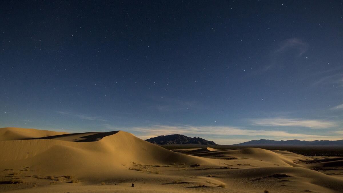
Established Feb. 12, 2016: Spanning 1.6 million acres, including 400,000 acres of previously congressionally designated wilderness, the Mojave Trails National Monument is comprised of rugged mountain ranges, ancient lava flows and sand dunes.
Basin and Range
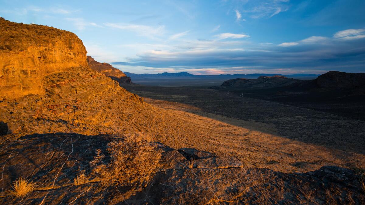
Established July 10, 2015: Basin and Range National Monument in southeast Nevada has lunar-like landscapes and covers 704,000 acres of desert mountains and valleys, roughly double the size of the city of Los Angeles. It's about a two-hour drive northwest of Las Vegas, depending on which part you are visiting, and straddles Lincoln and Nye counties.
Berryessa Snow Mountain
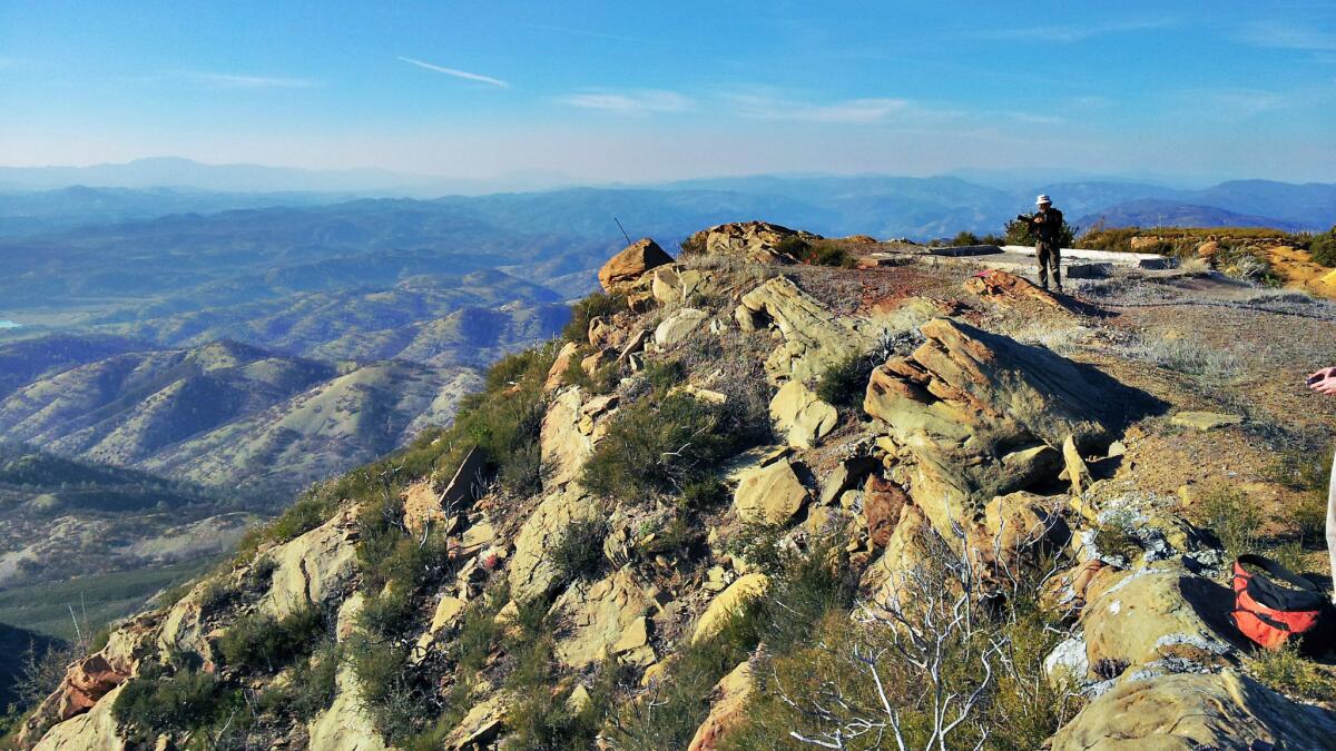
Established July 10, 2015: The 330,780-acre monument in Northern California extends from nearly sea level on Bureau of Land Management territory around Lake Berryessa in the south, up to 7,000 feet through the northern Snow Mountain Wilderness and the eastern boundary of the Yuki Wilderness in the Mendocino National Forest.
San Gabriel Mountains
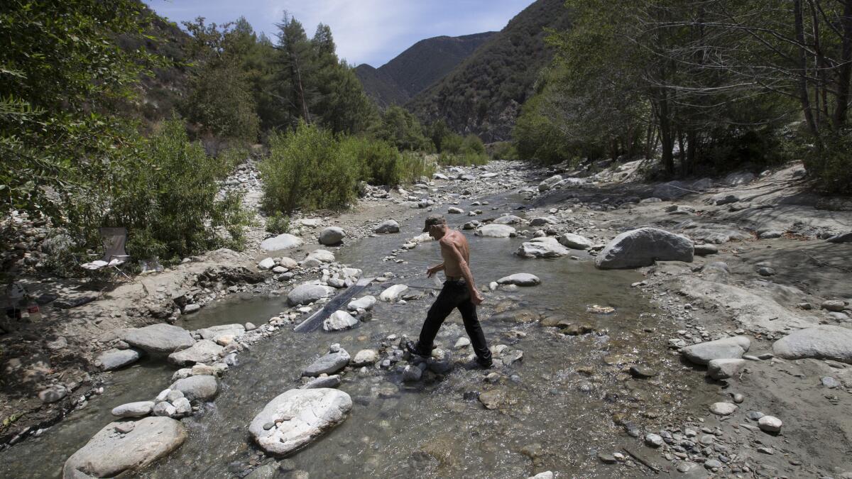
Established Oct. 10, 2014: President Obama designated 346,177 acres of existing federal lands as the San Gabriel Mountains National Monument, the eighth national monument under Forest Service management. The recently designated national monument covers 342,177 acres of Angeles National Forest and 4,002 acres of neighboring San Bernardino National Forest. The area is within 90 minutes of 15 million people in the Los Angeles Basin.
Organ Mountains-Desert Peaks
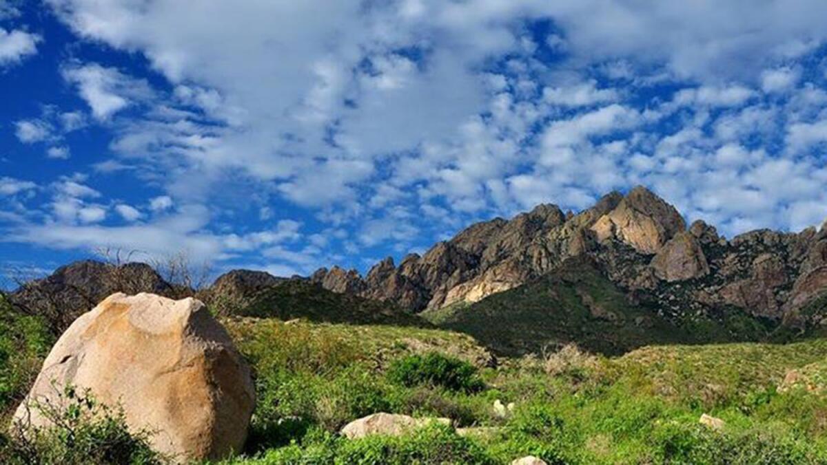
Established May 21, 2014: The Organ Mountains Desert Peaks National Monument’s 496,000 acres surround Las Cruces, N.M. It features the scenic Organ Mountains and the southwestern Chihuahuan Desert. It is also a home to petroglyph-lined canyons of the Sierra de las Uvas Mountains and famed western legends like Billy the Kid, Geronimo, and the Butterfield Stagecoach route. The area was even the training ground for the Apollo space program and World War II bomber pilots and crews.
Rio Grande del Norte
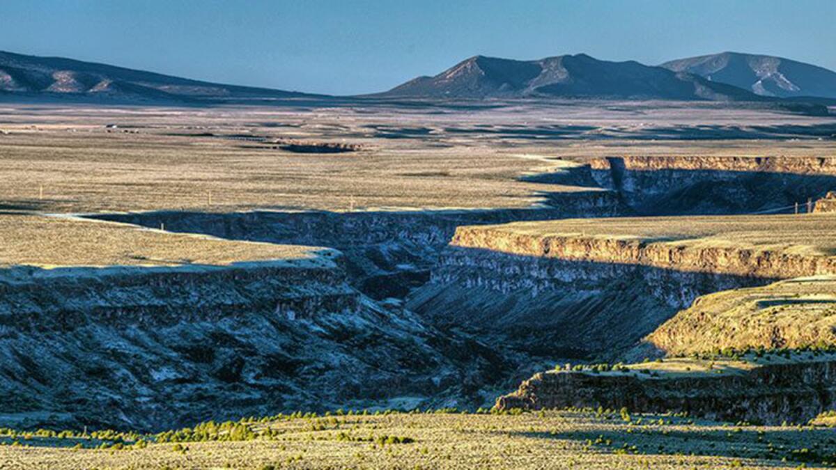
Established March 25, 2013: The 242,555-acre Río Grande del Norte National Monument is comprised of rugged, wide-open plains at an average elevation of 7,000 feet, dotted by volcanic cones and cut by steep canyons with rivers tucked away in their depths. The Río Grande carves an 800-foot deep gorge through layers of volcanic basalt flows and ash. Among the volcanic cones in the monument, Ute Mountain is the highest, reaching to 10,093 feet.
Pacific Remote Islands
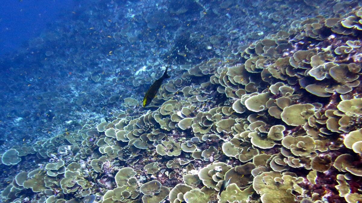
Established Jan. 6, 2009, and enlarged Sept. 25, 2014: The 408,301 acre Pacific Remote Islands Marine National Monument consists of Wake, Baker, Howland and Jarvis islands; Johnston and Palmyra atolls; and Kingman Reef, which lie to the south and west of Hawaii. The Pacific Remote Islands Monument is the largest marine protected area in the world and an important part of the most widespread collection of marine life on the planet under a single country's jurisdiction.
Northwestern Hawaiian Islands
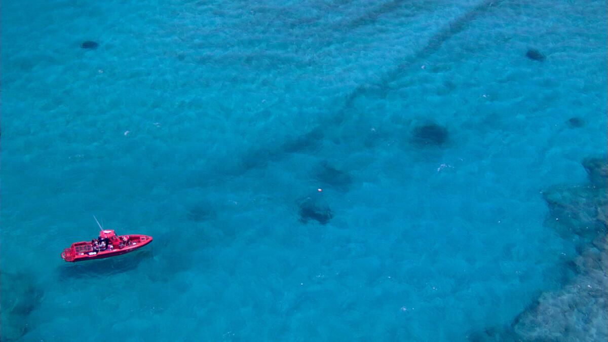
Established June 15, 2006, and enlarged Aug. 26, 2016: The Northwestern Hawaiian Islands Marine National Monument is the largest contiguous, fully protected conservation area under the U.S. flag, and one of the largest marine conservation areas in the world. It encompasses 582,578 square miles of the Pacific Ocean -- an area larger than all the country's national parks combined.
Upper Missouri River Breaks
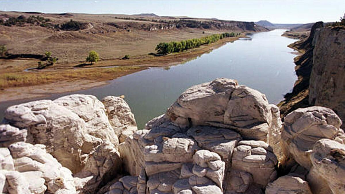
Established Jan. 17, 2001: The 377,346-acre Upper Missouri River Break National Monument contains an array of biological, geological, and historical objects of interest. The monument includes six wilderness study areas, the Cow Creek Area of Critical Environmental Concern; segments of the Lewis and Clark National Historic Trail and Nez Perce National Historic Trail; and the Fort Benton National Historic Landmark.
Sonoran Desert
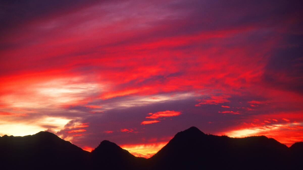
Established Jan. 17, 2001: The saguaro cactus is the iconic symbol of the Sonoran Desert and the monument is a place to see extensive forests of the classic cactus. The 486,149-acre monument has more to offer, including distinctive mountains rising from the desert floor. It has three distinct mountain ranges: the Maricopa, Sand Tank and Table Top Mountains, as well as the Booth and White Hills, all separated by wide valleys.
Carrizo Plain
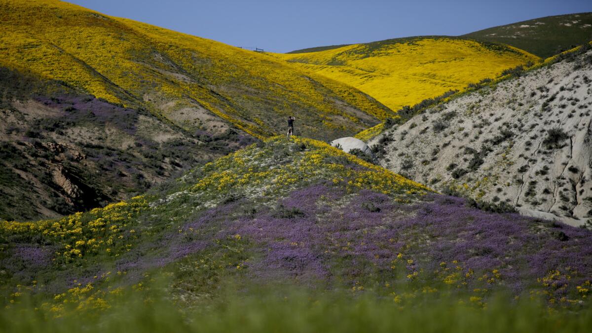
Established Jan. 17, 2001: The 204,107-acre Carrizo Plain National Monument is one of the best kept secrets in California. Only a few hours from Los Angeles, the Carrizo Plain offers visitors a rare chance to be alone with nature. The plain is home to diverse communities of wildlife and plant species including several listed as threatened or endangered and is an area culturally important to Native Americans.
Vermilion Cliffs
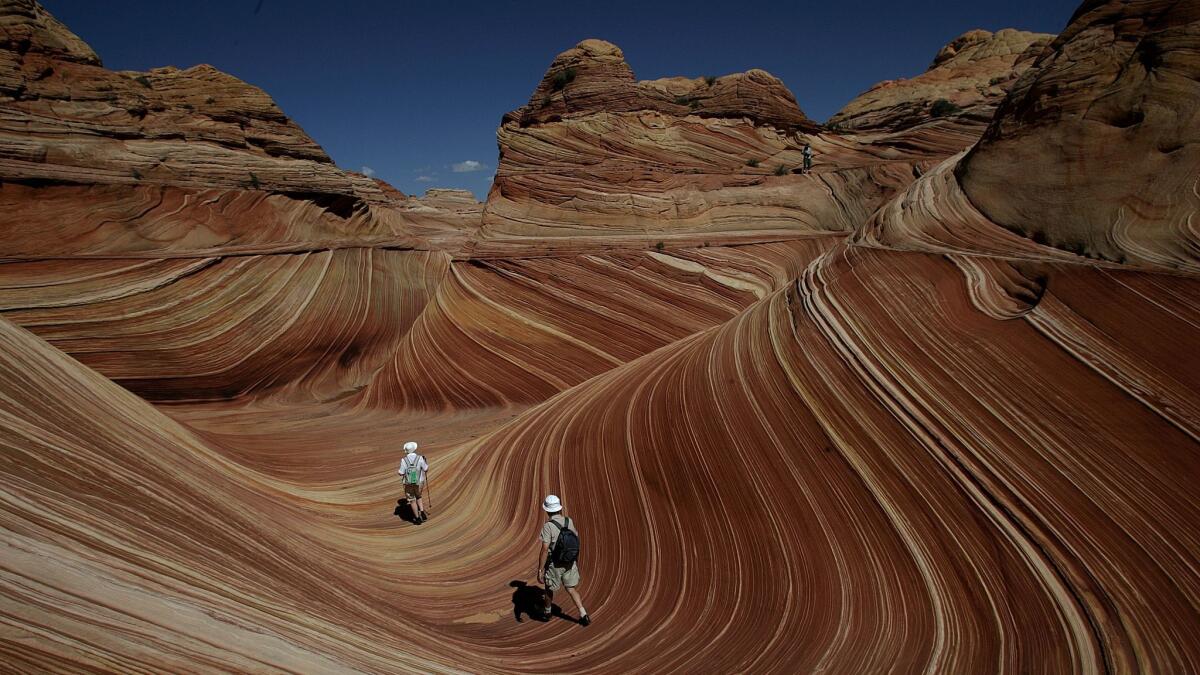
Established Nov. 11, 2000: The 293,000-acre monument northeast of the Grand Canyon in Arizona has some of the most spectacular trails and vistas in the world. This remote and unspoiled monument contains a variety of diverse landscapes that include the Paria Plateau, Vermilion Cliffs, Coyote Buttes, and Paria Canyon.
Ironwood Forest
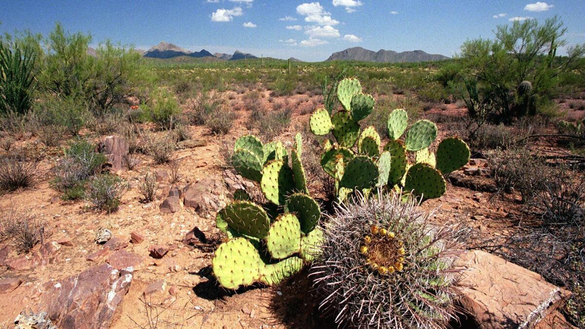
Established June 9, 2000: The 128,917-acre monument takes its name from one of the longest living trees in the Arizona desert. The Ironwood Forest National Monument is a true Sonoran Desert showcase. Keeping company with the ironwood trees are mesquite, paloverde, creosote and saguaro.
Hanford Reach
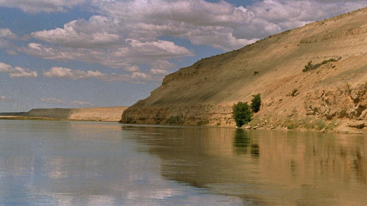
Established June 9, 2000: The 195,000-acre Hanford Reach National Monument is in the state of Washington. It was created in 2000, mostly from the former security buffer surrounding the Hanford Nuclear Reservation.
Canyons of the Ancients
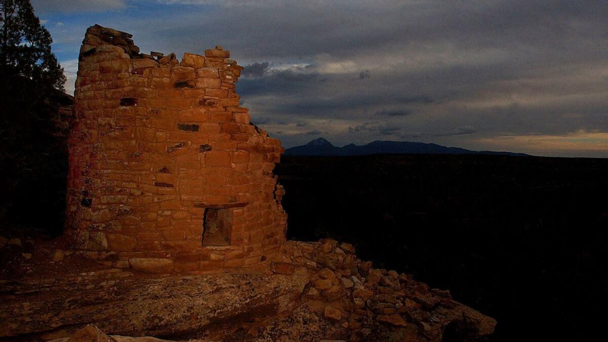
Established June 9, 2000: The 164,000-acre Canyons of the Ancients National Monument in southwestern Colorado is managed as an integral cultural landscape, containing historic and environmental resources. Humans have been a part of this particular landscape for at least 10,000 years.
Giant Sequoia
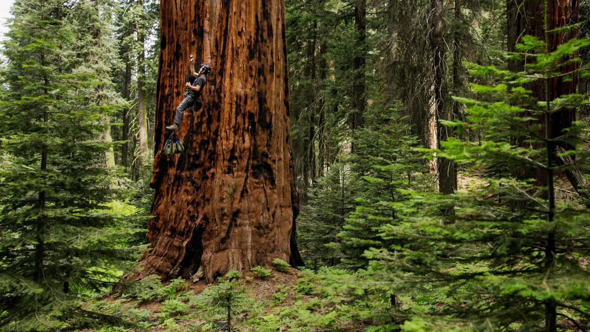
Established April 15, 2000: The Giant Sequoia National Monument now encompasses 328,315 acres. The giant sequoia (Sequoiadendron giganteum) is the world's largest species of tree. It grows naturally only in a narrow 60-mile band of mixed conifer forest on the western slopes of the Sierra Nevada range in California.
Grand Canyon-Parashant
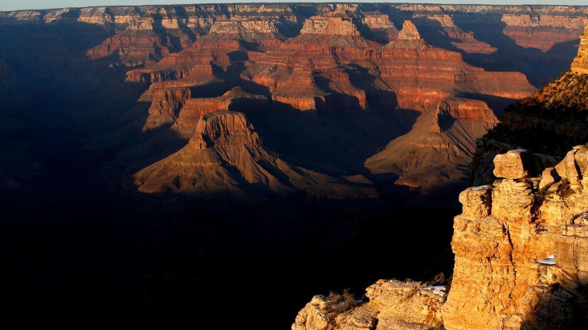
Established Jan. 11, 2000: The 1,014,000 acre Grand Canyon-Parashant National Monument is located on the northern edge of the Grand Canyon in northwestern Arizona.
Grand Staircase-Escalante
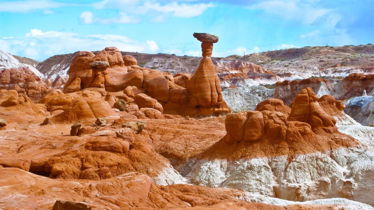
Established Sept. 18, 1996: The Grand Staircase-Escalante National Monument covers 1,700,000 acres of land in southern Utah.
Sign up for Essential California
The most important California stories and recommendations in your inbox every morning.
You may occasionally receive promotional content from the Los Angeles Times.


