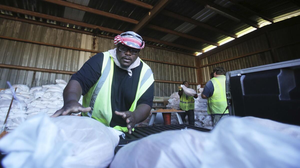
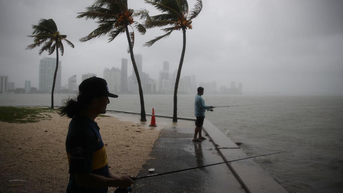
Tropical Storm Gordon barrels toward the Gulf Coast, and will likely land tonight as a hurricane

- Share via
Reporting from Miami — Tropical Storm Gordon continued to barrel across the Gulf of Mexico early Tuesday, headed for the north coast as a likely hurricane and leaving behind a soggy mess in South Florida.
In an 2 p.m. advisory, National Hurricane Center forecasters said the unexpected Labor Day storm should make landfall Tuesday night as a weak hurricane, somewhere between the Florida Panhandle and Louisiana. Storm surge warnings and watches extended across most of the northern Gulf Coast early Tuesday, along with hurricane and tropical storm warnings.
Gordon was about 90 miles south of Mobile, Ala., moving northwest at 15 mph Tuesday morning, with sustained winds of 70 mph. Tropical storm force winds extend 80 miles from Gordon’s center.
Throughout the weekend, Gordon defied forecasts by strengthening more rapidly than expected. Saturday morning, forecasters predicted the system would not form until it passed over Florida and entered the Gulf. By Saturday evening, however, it had blossomed into a depression and by Sunday morning intensified to a Tropical Storm about 10 miles west of Key Largo.
“Gladly watching Gordon depart Florida,” forecaster Eric Blake tweeted late Monday. “Not too often you see a TS spin up that close to land on radar, basically unexpected.”
The storm dumped heavy rain through most of the day, drenching parts of South Florida with up to five inches. The National Weather Service’s Miami office ended a flood watch at midnight, but continued to warn Tuesday morning that a high risk of rip currents remained along the east coast, from Miami to Jupiter.

Forecasters are also keeping watch on Hurricane Florence in the central Atlantic. Tuesday morning, the storm had sustained winds of 85 mph, just below hurricane strength. It’s expected to weaken Wednesday, but then gain steam as it heads northwest toward Bermuda, far from Florida.
A third system, a tropical wave just east of the Cape Verde Islands off the coast of Africa, is also teeing up and should become a tropical depression by the end of the week or over the weekend. Forecasters gave the system a 80% chance of forming over five days as it moves slowly west.
UPDATES:
2:13 p.m.: This article was updated with the latest data.
More to Read
Sign up for Essential California
The most important California stories and recommendations in your inbox every morning.
You may occasionally receive promotional content from the Los Angeles Times.


