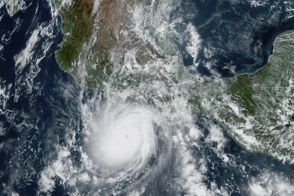
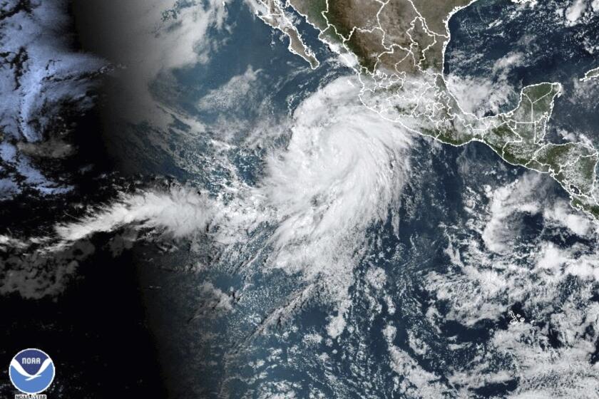
Hurricane Otis now a Category 5 storm off Mexico’s Pacific coast nearing Acapulco

- Share via
MEXICO CITY — Hurricane Otis strengthened from a tropical storm to a dangerous Category 5 hurricane in a matter of hours Tuesday as it approached Mexico’s southern Pacific coast, where it was forecast to make landfall near the resort of Acapulco early Wednesday, potentially causing catastrophic damage.
The U.S. National Hurricane Center said Otis has maximum sustained winds of 160 mph late Tuesday evening. It was centered about 55 miles south-southeast of Acapulco and moving north-northwest at 9 mph.
There was a hurricane warning in effect from Punta Maldonado to Zihuatanejo. A hurricane watch was is in effect from Lagunas de Chacahua to Punta Maldonado.
Otis is forecast to remain a Category 5 hurricane through landfall but rapid weakening is then forecast due to the higher terrain of Mexico. Otis will likely dissipate over southern Mexico on Wednesday night.
Should Cape Coral and other low-lying cities in Florida rebuild in an era of more intense hurricanes, higher rainfall and rising seas?
In Acapulco, people hurried home as rain began to pelt the resort and winds picked up, driving tourists from the beach.
The Guerrero state government said it was preparing 396 shelters in anticipation of families being driven from their homes by wind damage or surging waters.
Mexico’s army and navy deployed more than 8,000 troops to the area with specialized equipment to aid in rescues. Authorities closed Acapulco’s port, home to some 300 fishing boats.
Floods, fires, extreme heat, awful air quality, warming seas: As extreme weather engulfs the nation, the United States resembles a disaster movie set.
Otis was expected to dump 5 to 10 inches of rain on the southern state of Guerrero with as much as 15 inches possible in some areas. That raised the possibility of mudslides in Guerrero’s mountainous terrain.
In the Atlantic, Hurricane Tammy continued moving northeast over open water with winds of 75 mph after sweeping through the Lesser Antilles over the weekend. Tammy was about 565 miles south-southeast of Bermuda. The storm was expected to weaken by Thursday, according to the U.S. National Hurricane Center.
For at least the last 165 years, three conditions have kept California hurricane-free, experts say. So what’s changed to make Hurricane Hilary possible?
More to Read
Sign up for Essential California
The most important California stories and recommendations in your inbox every morning.
You may occasionally receive promotional content from the Los Angeles Times.


