London Olympics: Tips on how to navigate the city during Games

- Share via
LONDON — If you’re at all familiar with London — the city of congestion, crowded byways, skinny streets — you may be trying to imagine how in the world the city will cope with moving its Olympics visitors from Point A to Point B.
Many of the Olympic events will take place in East London, the suburb of Stratford (not Avon), a once-blighted area about 81/2 miles from Buckingham Palace that has been transformed in the last four years. When the world casts its eyes on London beginning July 27, it will see an Olympic Park that occupies 617 acres with nine major competition venues. And directly adjacent to the Olympic Park is Westfield Stratford City, said to be Europe’s largest urban shopping mall.
Won’t getting around be a nightmare? Maybe not. While you’ve been napping, London has invested billions in its infrastructure. The only question is whether it will work.
Signs point to yes. Many of the events will occur outside the Olympic site, including tennis at Wimbledon, equestrian events at Greenwich Park, rowing at Eton Dorney Dorney Lake Park, beach volleyball at Horse Guards Parade, volleyball at Earls’ Court, archery at Lord’s Cricket Ground, and soccer (remember, it’s called football here) at selected stadiums around the country. Boxing, fencing, table tennis, judo and wrestling will be staged at the ExCel Centre in the Royal Docks area of Newham, East London, near London city airport.
With as many as 5.5 million day-trippers expected for the Games and 450,000 visitors planning to stay for some part of the Games, Transport for London has planned its strategy to keep London up and running this summer. Indeed, it claims the event isBritain’slargest peacetime logistical exercise.
Your transportation options include cabs, of course, but you can also (and probably should) use public transportation, including the Tube, rail, buses and boats. And you can always head out on foot.
Here are three links that should help you plan your logistical strategy: Transport for London, https://www.tfl.gov.uk, will give you information on the how (and there are generally several ways to reach a destination, whether it’s Olympic village or one of London’s sights). You’ll find help in https://www.getaheadofthegames.com, which was designed to give everyday Londoners a heads-up on things that don’t necessarily involve the Olympics but may affect their normal methods of transport. Updated journey information is also available at https://www.london2012.com/spectators/travel/index.html. Its “spectator journey planner” promises to help you navigate.
Throughout the Games, local print, electronic media and other sites online will be full of updated driving, mass transport (rail, Tube and bus) and traffic advisories.
And here’s a bonus for event ticket holders: For each day an individual has a valid event ticket, he or she will also receive a free all-day London Travelcard permitting unlimited bus or underground travel. For non-ticket holders going to Olympic Park just to view the site, a one-day Travelcard is available for about $9.60 off-peak and $13.25 any time day or night.
For all visitors traveling on buses or underground, the most efficient and least expensive method of payment is an Oyster card, which you can load with credit to give you access to the Tube, buses, trams, Docklands Light Railway and National Rail services within the London travel zones. How much can you save? A one-way fare to Stratford from Green Park Station (the West End on Piccadilly) would cost about $5.38 without the Oyster; with it, you get the fare for $3.25 (off-peak). The savings can add up.
Armed with this information and common sense (such as allow more time), you should be able to navigate well. Here’s a look at some of your choices:
Tube
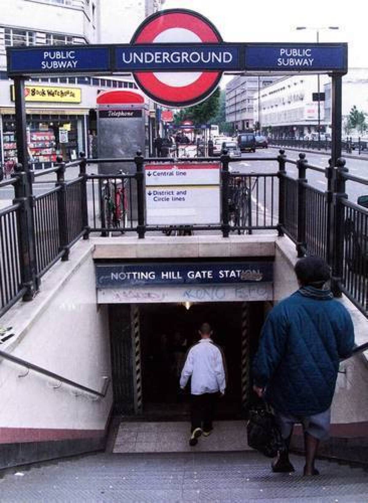
The Tube accommodates almost 3 million riders each business day. Although some stations look as though they’re a century old or older (and they may be), it’s a sophisticated system that works well. The good news is that about 65% of Tube stations will be unaffected during the Games.
Of the London underground trains, the best access to Olympic Park will be on the Central Line and the Jubilee Line (the latter of which was recently upgraded and now offers a train every two minutes at rush hour). Docklands Light Railway also works from East London areas.
Many of the underground stations have been rebuilt. Stratford Station, closest to Olympic Park and no more than a 10-minute walk to the main stadium, has been renovated and offers wide, long platforms, escalators, elevators and plenty of staff. Much of the structure is glass to give plenty of natural lighting during the day.
For those who are using wheelchairs or other such modes of transport, note that London tube maps illustrate wheelchair access stations. Note, too, that Jubilee Line stations from Green Park Station have ramps and elevators.
Bus
The ubiquitous double-decker buses will play a big role, with 17 bus routes passing through Stratford Station. From Central London the No. 25 bus, which you can catch at Oxford Circus (at Regent and Oxford streets), is the most convenient. Buses run every three to five minutes during the day. Plan on at least an hour for the ride, which accounts for traffic. Although the Tube is faster, you’ll get the lay of the land on the bus.
Rail
Docklands Light Railway, a light rail system that opened about 25 years ago, serves the Olympic Park area. There will be extra trains in the late evening to help with departing crowds.
High-speed train
A high-speed Javelin shuttle service will run between the Olympic Park Stratford Station and King’s Cross St. Pancras station. It will run eight to 10 times an hour.
Boat
One of the most relaxing and fun ways to see the sights — the London Eye, the Royal Naval College, St. Paul’s Cathedral and more — is from the river on a Thames Clipper. Because the river twists and turns, you’ll also understand why London developed as it did. These high-speed catamarans run every day at 20-minute intervals. They connect piers near Westminster Bridge (across the street from the Houses of Parliament) and the Royal Arsenal at Woolwich. The stops at the North Greenwich Pier are near the equestrian and gymnastics sites. Extra boat services have been planned and should coincide with dedicated events at nearby venues. Info: https://www.thamesclippers.com
Car
Here’s a piece of advice if you’re thinking of renting a car: Don’t. London’s 9,200 miles of roads are mind-boggling if you’re doing it for the first time and don’t know where you’re going, never mind learning to drive on the left. But if you do it anyway, buy or rent a GPS, which will save you hours of frustration.
Only about 30% of London’s roads will be affected during the games, and Transport for London will oversee London’s network using a continuously managed street control system that maintains signal timing. More than 2,000 intersections will employ a state-of-the-art technology to control traffic flow.
There will be about 30 miles of designated Games Lanes for the sole use of the Games gamily (athletes, officials, etc.) and emergency vehicles, which will be used only when and where absolutely required. If not required, the Games Lanes will be reopened to general traffic.
Two useful sites for those driving to venues are https://www.london2012.com/accessandparking (parking at sites) and https://www.lat.ms/LTCzEL, on central London’s congestion charges.
More info
The best website for further information on the Olympic and Paralympic games is https://www.london2012.com. And the best site for information about traveling and touring through Britain is from Visit Britain, the country’s tourist organization: https://www.visitbritain.com.
More to Read
Sign up for The Wild
We’ll help you find the best places to hike, bike and run, as well as the perfect silent spots for meditation and yoga.
You may occasionally receive promotional content from the Los Angeles Times.


