Science/Medicine : Satellite Images Track Iceberg
- Share via
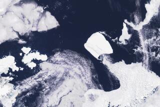
Researchers at Columbia University, in a first, have used satellite imagery to track the progress of a mammoth iceberg after it broke off from the coast of Antarctica. The study, reported in the journal Antarctic Science, has provided never before available information about ocean currents around the southernmost continent.
The iceberg, called B-9 because of the Antarctic coordinates where it originated, was 96 miles long and 22 miles wide when it broke off from the continent in early October, 1987, eliminating the Bay of Whales in the process. Its thickness, about 820 feet, gave it more keel than sail, so its movements were controlled primarily by ocean currents.
For several months it drifted northwestward before being caught by an unexpected northerly current that crashed it back into the coast. Next, an east-to-west current moved it along the coast and forced it to rotate clockwise, confirming researchers’ suspicion that the current was quite narrow.
Eventually, in May, 1989, the iceberg was picked up by a deep current along the upper continental slope and reached its maximum speed of 8 miles per day (compared to an average of 1.5 for the entire journey) before breaking up into three pieces that are still floating near the Antarctic coast.


