L.A. County remains dry, most of Southern California avoids Northern California storm system

- Share via
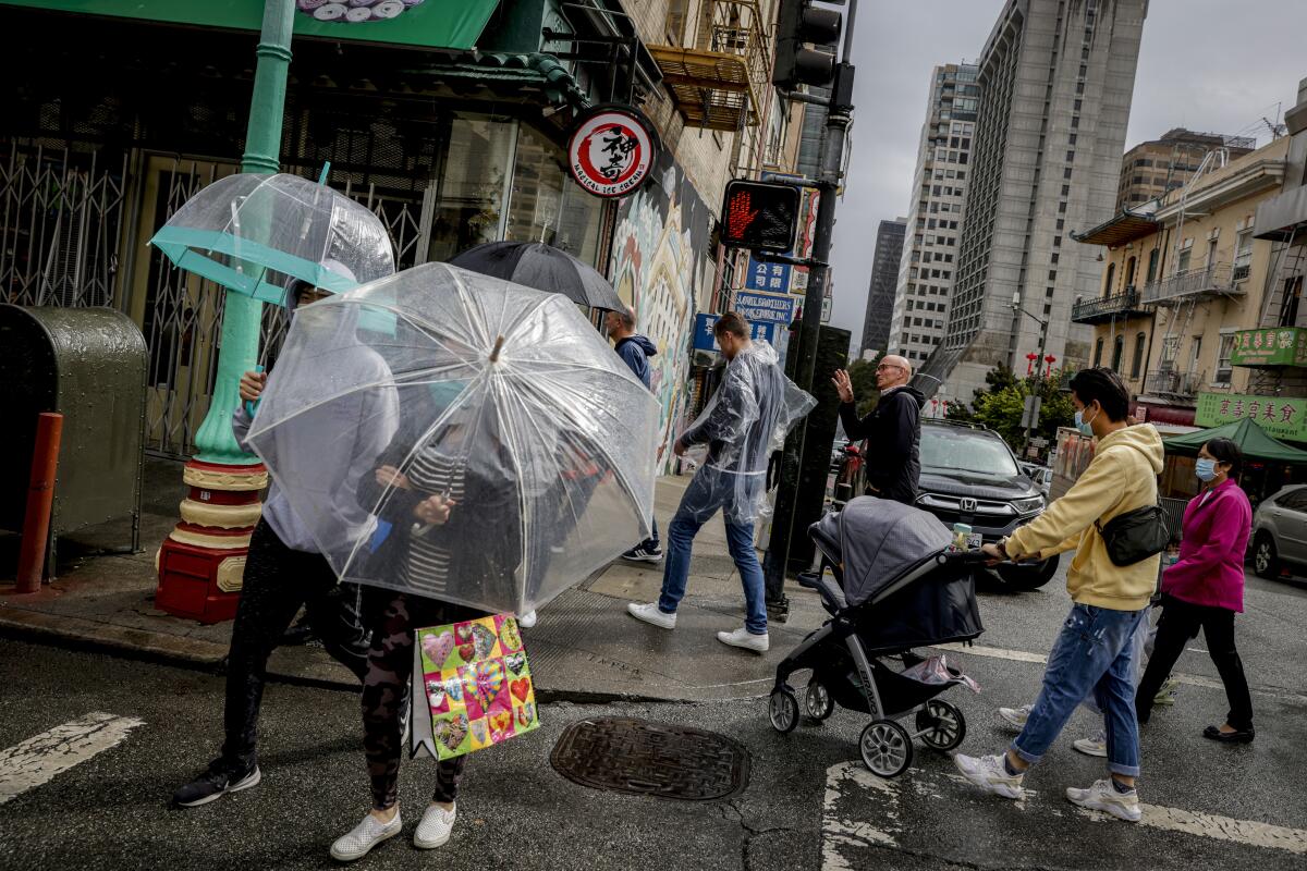
Northern California received a deluge of rain over the weekend, the Central Coast saw record-breaking rainfall Monday and other parts of the state saw a trickle.
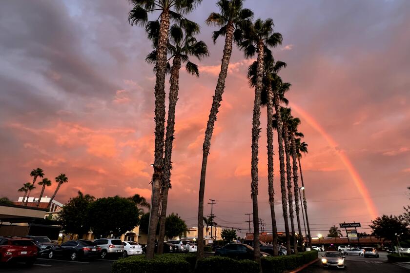
Los Angeles County didn’t get anything from the Northern California storm system.
L.A. County, like most of Southern California, remained dry Tuesday and it won’t get any rain next week, when temperatures will start to climb, according to the National Weather Service.
Starting Wednesday, clear skies will make way for a warming trend that will see temperatures reach the low 80s in L.A. County, and heading into the weekend, they could hit the 90s.
Ventura County recorded some light showers Tuesday morning that could make their way to L.A. County, but it’s not expected to bring much rain, according to meteorologists.
“It’s no drought buster here,” said Eric Boldt, a meteorologist with the National Weather Service office in Oxnard.
Though the recent rains have helped tame some active blazes, it’s too soon to say goodbye to this year’s fire season.
On Monday, Santa Maria received a month’s worth of rain in one day. The weather station at Santa Maria Airport recorded 1.77 inches of rain, smashing the previous record of 0.16 inches of rainfall recorded in 1959. The rainfall total also broke the total September record of 1.74 inches of rain set in 1976, according to the National Weather Service.
Paso Robles also recorded a record-breaking rainfall total at a quarter of an inch of rain. The previous record was 0.16 inches of rain set in 1966, according to meteorologists.
“It’s a little unusual to get that much rain in September,” Boldt said.
The steady rainfall is thanks to a slow-moving, low-pressure storm system off the Northern California coast that drenched the region from Santa Maria down south to Point Conception. The system is also responsible for heavy rainfall further north, slowly passing over the region.
“The storm stalled on the Central Coast and is slow-moving,” Boldt said.
Further north, scattered showers and thunderstorms dogged the San Joaquin and Sacramento Valley over the weekend. Debris flows and flash floods were a major concern for meteorologists, especially in areas where vegetation burned in recent wildfire.
The National Weather Service issued flash flood warnings Monday for the Sacramento area and Yolo County. Authorities were especially concerned about debris flow near where the LNU Lightning Complex fire burned more than 360,000 acres across several counties in 2020, according to meteorologist Anna Wanless with the National Weather Service office in Sacramento.
Officials also issued a flash flood watch for debris flow near the Mosquito fire, which is currently burning in El Dorado and Placer counties. While the rainfall is forecast to taper off, officials still caution people to be aware of falling debris in areas where vegetation has been burned and the ground remains loose and muddy.
“This rain has been largely beneficial,” Wanless said.
Closer to the coast, showers and isolated thundershowers continued to linger on Tuesday. The storm system brought heavy rainfall to western Mendocino County Sunday into Monday, according to meteorologist Jeff Tonkin with the National Weather Service office in Eureka.
Ukiah saw 1.89 inches of rain, which fell short of a 1959 record when the area saw 1.94 inches of rain.
“I wouldn’t call it record-breaking, but it was a lot of rain,” Tonkin said about the rainfall recorded in the last few days.
While some parts of the state saw a trumpet’s blast of rain, other parts of the state saw only a flute’s note of rain. Santa Barbara and San Luis Obispo counties saw 2 to 4 inches of rainfall, but all of that is dissipating.
More to Read
Sign up for Essential California
The most important California stories and recommendations in your inbox every morning.
You may occasionally receive promotional content from the Los Angeles Times.


