Rain lingers over parts of California from big, slow-moving storm

- Share via
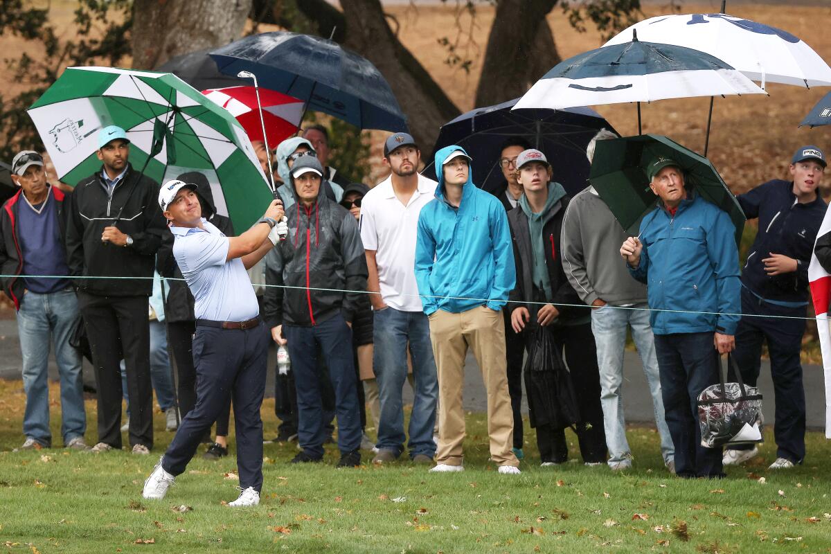
A storm system from Northern California brought rain to parts of Central California on Monday, but Los Angeles remained dry.
Showers have been dampening parts of San Luis Obispo and Santa Barbara counties since Sunday. In Santa Barbara County, Sudden Peak has received a total of 3.11 inches of rain and Rancho San Julian a total of 4.07 inches. Santa Maria soared past its daily record with a preliminary rainfall amount of 1.71 inches Monday. Its previous record for the date was 0.16 of an inch, set in 1959.
In San Luis Obispo County, Oceano has received a total of 1.74 inches during the storm and Arroyo Grande received 2.04 inches.
The rain lingered because of a slow-moving, frontal system that is essentially stalled over the area, sustaining moisture levels, said David Sweet, a meteorologist with the National Weather Service in Oxnard.
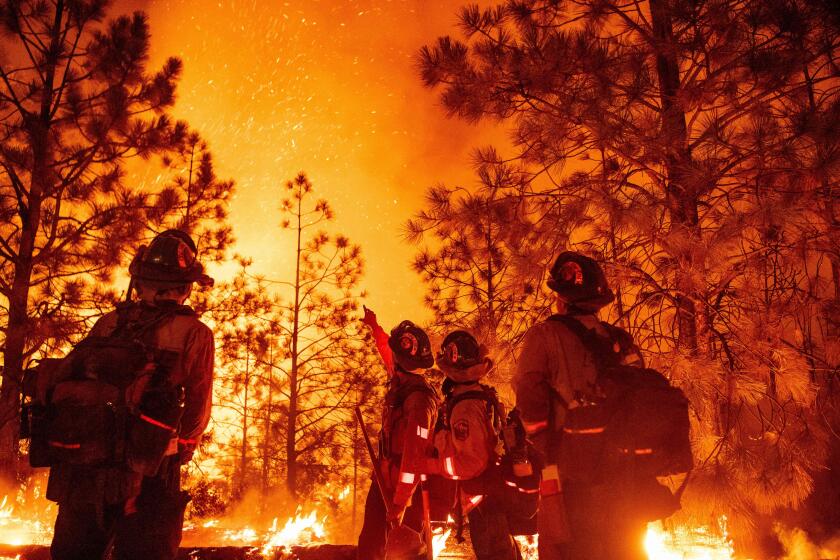
Rain showers that started Sunday afternoon are bringing welcome moisture to the Mosquito fire, but also an increased risk of mudflows and floods in a heavily forested corner of Northern California.
The storm system was forecast “to sit there all day and not really move,” Sweet said Monday morning, adding that it will eventually weaken and dissipate. It was not expected to move farther east than Santa Barbara.
Los Angeles has a 20% chance of seeing rain, Sweet said. There are “no surprises here,” Sweet added, though it is early in the season for rain.
The rain stems from a low-lying storm system slowly moving down the California coast, forecasters said.
Rain kicked off the week in the Bay Area, with wet conditions starting Sunday; scattered showers could last through Wednesday. Lightning strikes were observed Monday in Napa County.
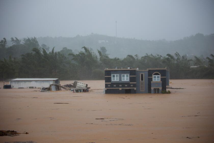
Hurricane Fiona unleashed more rain on Puerto Rico, and National Guard troops rescued hundreds of people who got stranded.
“We just have an unusual deep low coming through that is providing some rain,” said Matt Mehly, lead meteorologist for the National Weather Service in the San Francisco Bay Area.
There were a variety of rainfall totals across the area, though the mountains received the most rain, with the North Bay coastal mountains getting 2 to 3½ inches, the Santa Cruz Mountains accumulating as much as 2.2 inches, and nearly 4 inches in Mining Ridge in the Central Coast mountains.
High winds and wind advisories had led to fears of possible blackouts Sunday. According to forecasters, there was some flooding along highways and hazardous local road conditions, including downed trees. There were no weather advisories in effect Monday.
September is typically the third-driest month in California, according to the National Weather Service in the Bay Area. Mehly said the rain is a relief. “We had the historic heat wave, with numerous wildfires, so that rainfall is a welcome sight [statewide] to slow the fires,” Mehly said. “It’s not going to end it, but it is a step in the right direction.”
The La Niña climate pattern, which tends to bring dry conditions to the Southwest, is expected to persist for another year amid the ongoing drought.
Rain showers brought welcome moisture to the Mosquito fire, the state’s largest fire this year, and aided in the firefighting effort. As of Monday night, the fire was holding at 76,290 acres in El Dorado and Placer counties and was 39% contained — up from 20% on Saturday, according to the California Department of Forestry and Fire Protection.
The rain also increased risk of mudflows and floods. A flash flood watch will be in effect for the burn area of the Mosquito fire until 12 a.m. on Wednesday.
More to Read
Sign up for Essential California
The most important California stories and recommendations in your inbox every morning.
You may occasionally receive promotional content from the Los Angeles Times.


