Another storm is coming to Southern California early next week. How big will it be?

- Share via
Southern Californians can brace for another round of wet weather, with a storm expected to hit the region early next week to cap off a month of historically wet weather.
The slow-moving storm is expected to reach the Los Angeles area by Monday night or Tuesday morning before tapering off later Tuesday, according to the National Weather Service. It’s projected to drop between a quarter of an inch and half an inch of rain in coastal areas and valleys and up to an inch in the mountains.
The storm isn’t expected to pack the same punch as the storms earlier this month.
“It’s considerably weaker,” said Mike Wofford, a NWS meteorologist in Oxnard. “This would be a light storm even in a fairly quiet winter pattern.”
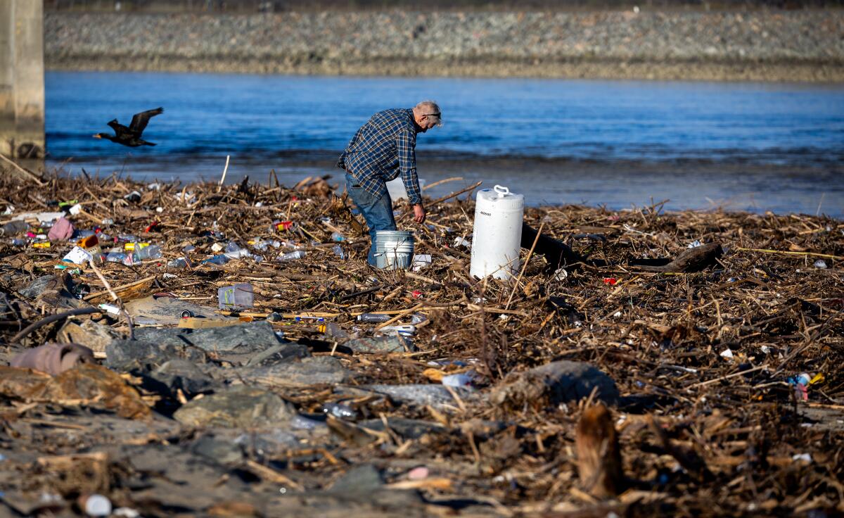
But because the ground is still saturated from the back-to-back historic storms earlier this month that triggered debris and mud flows, damaged homes and killed several people across the state, there’s still the risk of landslides in areas adjacent to hills. That includes the Santa Monica Mountains, the San Gabriel Mountains, the Rancho Palos Verdes area and anywhere in the Hollywood Hills.
“Landslides can happen at any time now that the grounds are so wet,” Wofford said. “Any additional rain would make it worse. That’s something people will have to live with for a while until things dry out.”
Downtown Los Angeles has received 17.79 inches of rain since the water year began on Oct. 1 and 12.56 inches in February alone, making it the fourth-wettest February since the weather service started keeping records in 1877. This February is also the wettest month in 26 years and is tied for the seventh-wettest month ever.
To put things into context, downtown L.A. usually gets about 10 inches by this time in the typical water year and about 15 inches over a 12-month period.
“If we didn’t get any rain between now and October, we’d be almost three inches above the normal for the entire year,” Wofford said. “That’s telling.”
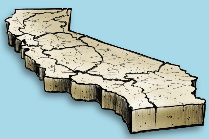
The latest maps and charts on the California drought, including water usage, conservation and reservoir levels.
Following three years of severe drought, California is now experiencing one of its wettest years on record. Elsewhere in the state, the storms dropped enough snow on the Sierra Nevada to eradicate fears of a “snow drought” and build up the snowpack to 86% of normal for the date.
California’s major reservoirs are also at 118% of their average levels for this time of year.
“Some of the reservoirs had to do releases ahead of approaching storms so they can take in the water that falls,” Wofford said. “That’s not something we normally have to deal with in a typical winter.”
More to Read
Sign up for Essential California
The most important California stories and recommendations in your inbox every morning.
You may occasionally receive promotional content from the Los Angeles Times.


