- Share via
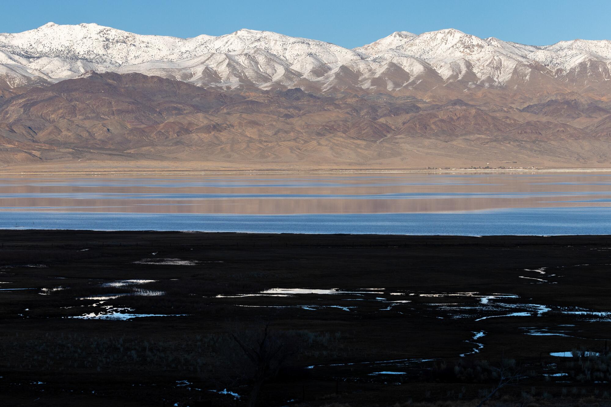
Concerns that California might remain in a “snow drought” this winter have eased after a series of storms this month blanketed the Sierra Nevada with a near-average amount of snow for this time of year.
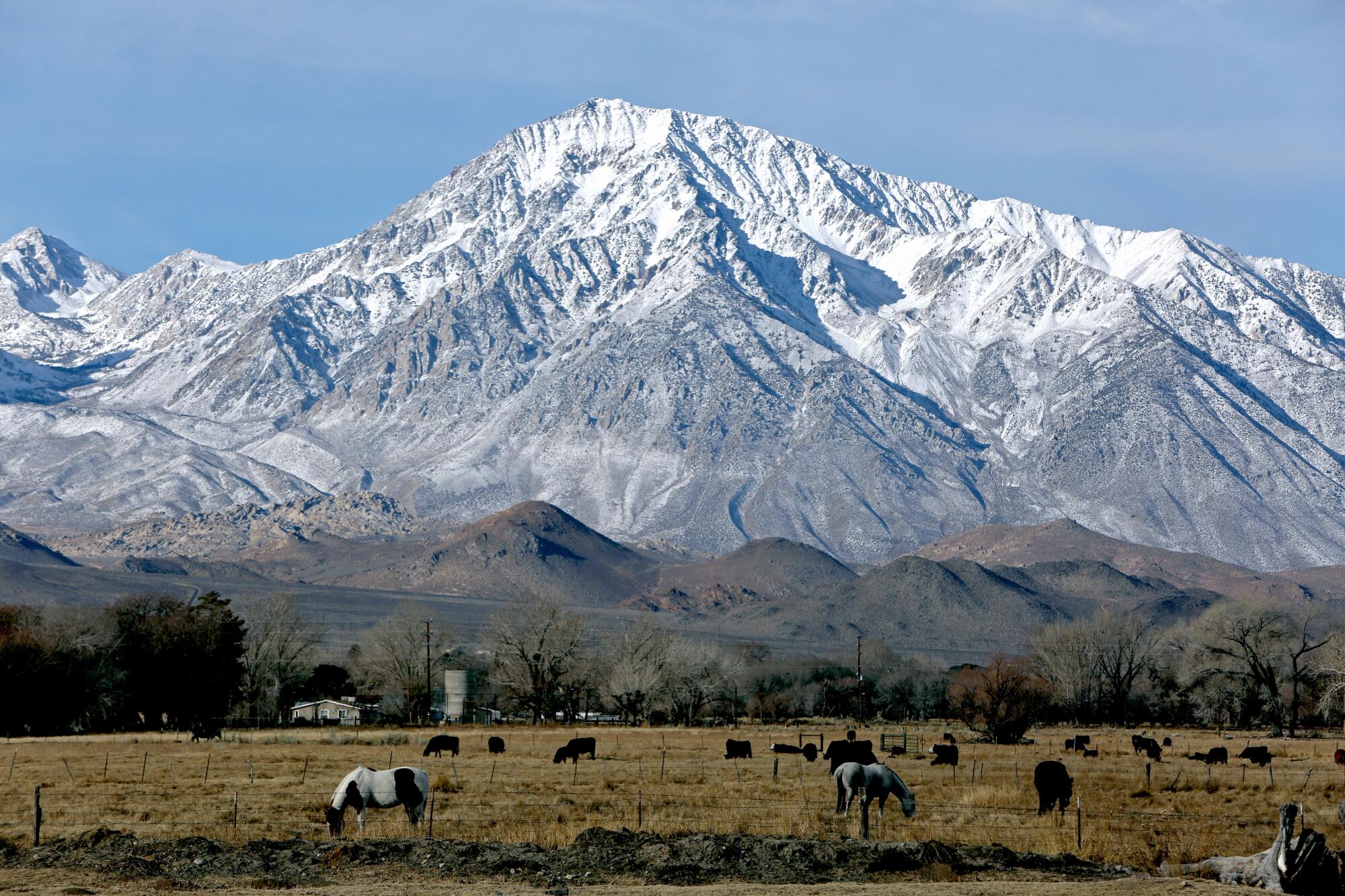
The snowpack across the mountain range now measures 86% of normal for the date, according to state data, up from 28% of normal at the start of the year.
The latest storms have also brought enough rain to push the state’s total precipitation to slightly above average for this time of year. And California’s major reservoirs, which were filled spectacularly by last year’s historic wet winter, are still at 118% of their average levels.
Aggressive and impactful reporting on climate change, the environment, health and science.
The wet weather and improved snowpack mean that California appears headed for a less-extreme water year after whipsawing from three years of severe drought to one of the wettest years on record.
“Overall, I’m not worried about drought for the rest of this year,” said Jay Lund, a professor emeritus and vice director of the UC Davis Center for Watershed Sciences.
“We have a fairly good snowpack right now — not great, but it’s not unusually dry,” Lund said. “And even if it were to get dry, we’re coming into it with a full set of reservoirs.”
Shasta Lake, the state’s largest reservoir, is now 87% full, while Lake Oroville stands at 82% of capacity.
The high reservoir levels will translate into more water availability for cities and agriculture this year.
The state Department of Water Resources on Wednesday increased its forecast allocation of supplies from the State Water Project to 15% of full allotments, up from an initial 10% allocation in December.
State officials said they will continue to reassess supplies as more storms come, and the allocation could be readjusted in mid-March. The recent storms have come during relatively warm conditions in parts of the state, and precipitation in the region that feeds the State Water Project has remained below average.
Department of Water Resources Director Karla Nemeth said the conditions this winter are a reminder of the “shift to bigger, flashier storms and the need to continue increasing the state’s ability to capture and store stormwater when it comes as rain instead of snow.”
The federal Bureau of Reclamation also announced initial allocations for the Central Valley Project, including 75% of the contractual allotments for agricultural users north of the Sacramento-San Joaquin River Delta, and 15% of allotments for irrigators south of the delta.
“Precipitation totals this water year started off slowly,” said Karl Stock, regional director for the Bureau of Reclamation. “Since that time, several storms have boosted the Sierra Nevada snowpack, bringing us to near normal conditions for Northern California.”
Forecasts show that more storms building over the Pacific Ocean could bring more wet weather to California in the coming weeks and give the snowpack an additional boost.
“This is one of the unusual average years,” Lund said.
California has traditionally relied on the Sierra snowpack for about 30% of the state’s water supplies on average.
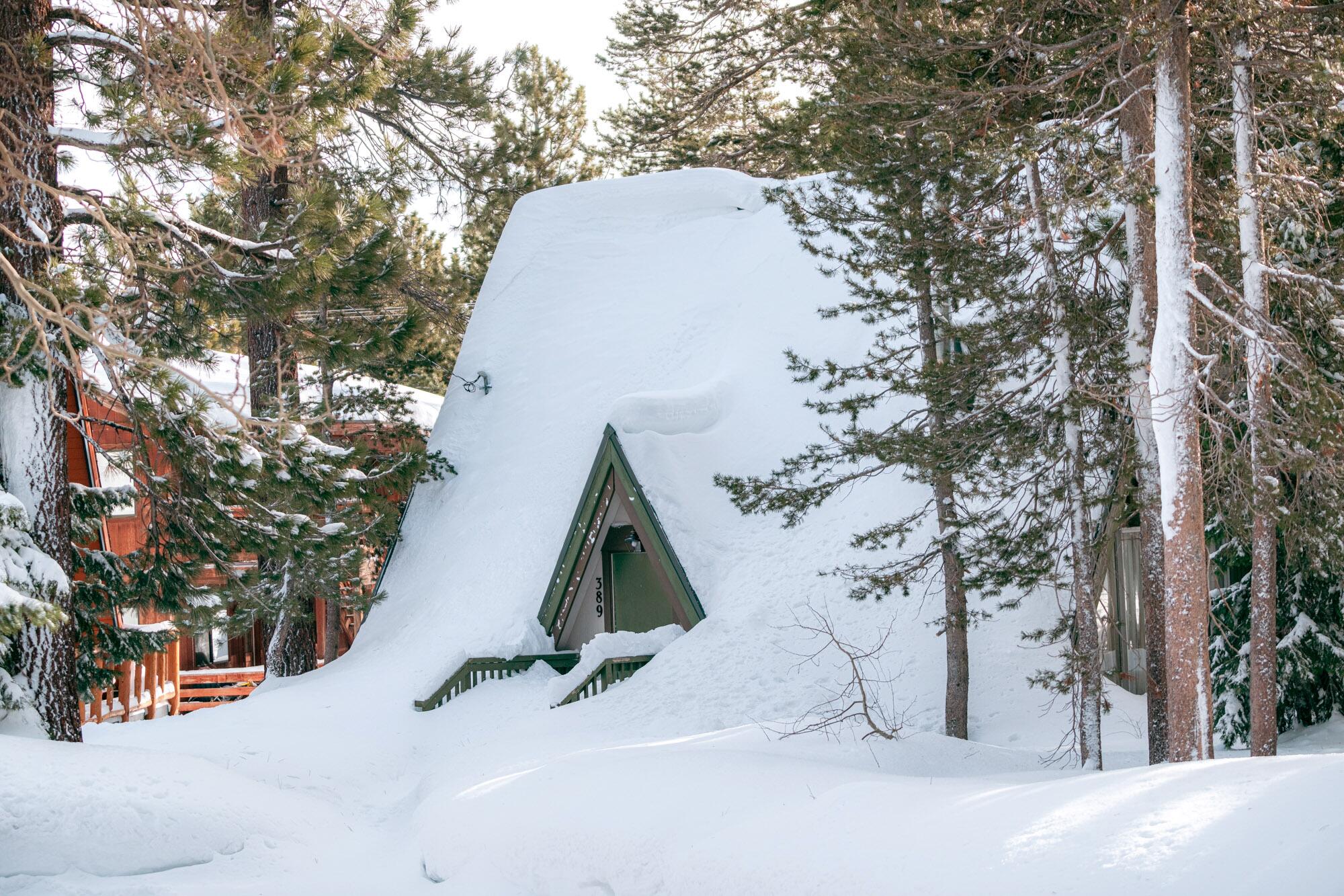
This year, the network of snow sensors across the Sierra Nevada show larger accumulations in the northern portion of the mountain range, where the snowpack measures exactly 100% of average for this time of year. Other areas are below average, measuring 84% of normal in the central Sierra and 79% in the southern Sierra.
“We’ve had more snow accumulation in the north, where we’ve had freezing elevations that get it down around 5,000 feet,” said Michael Anderson, the state climatologist. But in the central and southern Sierra, he said, the recent storms have not been “accumulating snow at the pace we would normally expect this time of year.”
Across the entire Sierra Nevada, the snowpack now stands at 69% of average for the end of the season on April 1.
The wet season isn’t over, and how close the state comes to an average snowpack will depend on conditions over the next five weeks.
“We’ve had a lot of improvement from January, when things were really dry. We just haven’t caught up all the way,” Anderson said.
As for the state’s overall water situation, Anderson said the year is shaping up to be pretty good.
“I don’t see any extremes on the dry side,” he said.
“We’ve seen the wet extremes episodically and they’ve certainly been impactful, particularly in Southern California,” Anderson said. “The challenge is, it’s all come in these great big blasts.”
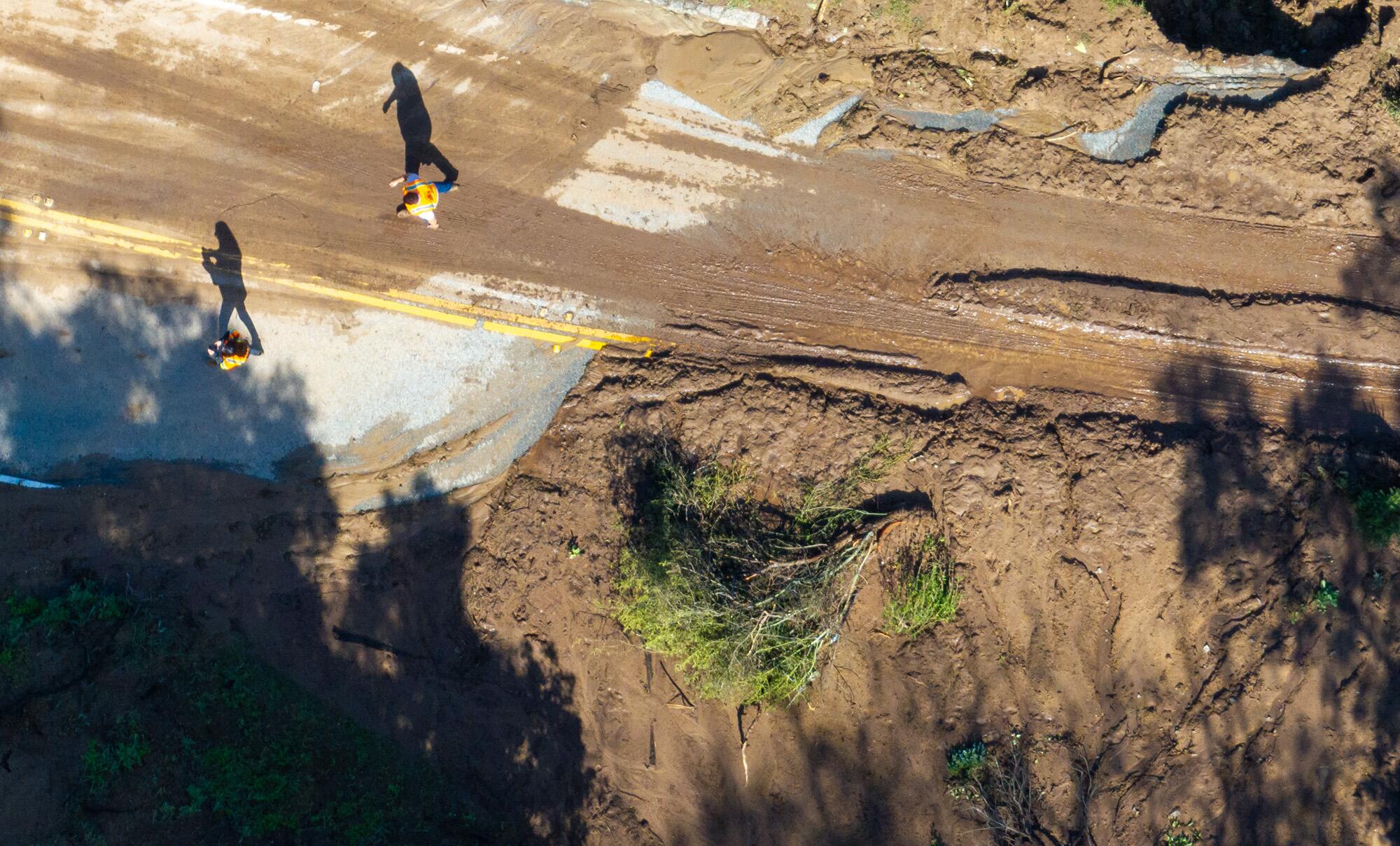
The atmospheric rivers this month brought heavy rainfall in Southern California, triggering flooding and debris flows that damaged some homes and forced residents to evacuate.
“It is noteworthy how different Southern California’s situation is from the rest of the state. We are now at roughly 125% of what we normally get in the whole water year. And the wet season isn’t over yet,” said Alex Hall, a UCLA climate scientist.
“It’s another very wet year in Southern California. This is a classic El Niño pattern — where Southern California has an exceptionally wet year,” he said.
The wet year has also underscored the importance of capturing water locally for climate resilience, Hall said. “If Southern California were only capturing more of that stormwater, we could be buffering what is shaping up to be a mediocre water year in the rest of the state.”
Rising temperatures driven by human-caused climate change have led to declines in the average snowpack in the western United States in recent decades. Research has shown that average snowlines have been creeping higher with warming temperatures as more precipitation falls as rain instead of snow.
UCLA climate scientist Daniel Swain said the snow drought conditions in the Sierra Nevada have eased this year as “the gap between the total precipitation and the snowpack has narrowed.”
But he said the state’s shrinking snowpack remains a long-term problem, and he noted that parts of the Pacific Northwest still have snowpack that remains far below average for this time of year.
“There has been a sustained long-term trend towards less snow, and snow falling in higher elevations, and snow melting earlier in the season,” Swain said. “We still could see that snow-melting-earlier-in-the-season problem this year, if it ends up being warm in the spring and summer, which looks like it probably will be.”
There’s a 55% chance La Niña could develop between June and August, and a 77% chance it could develop between September and November, NOAA said.
In the short term, he said, the active weather pattern looks likely to continue to bring more snow to California in the coming weeks.
“We’ll probably be quite close to the average snowpack,” Swain said. “Overall, this looks like it’s going to be a good water year.”
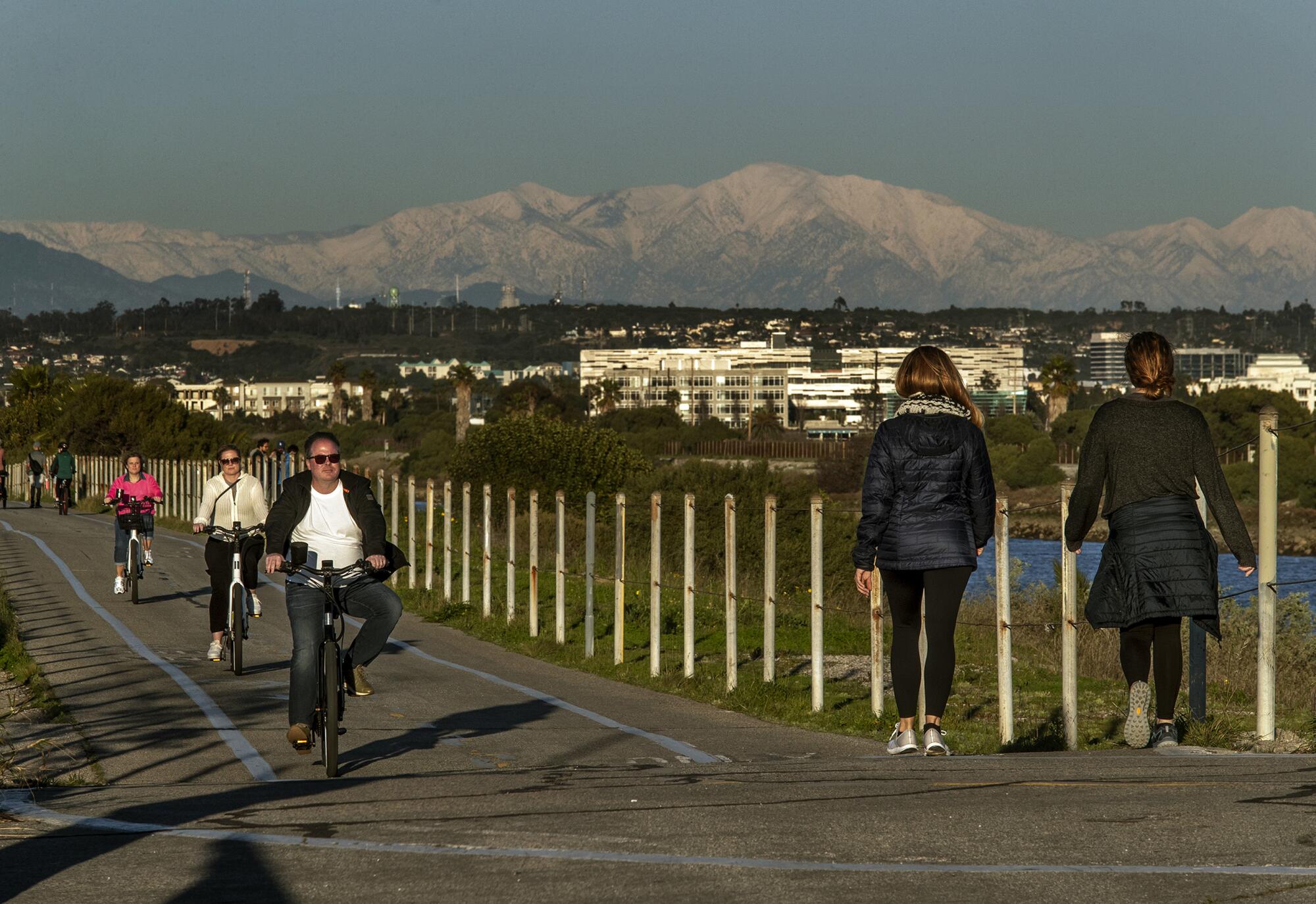
The Rocky Mountains snowpack that feeds the Colorado River — another major water source for Southern California — also measures slightly above the median level for this time of year.
Lund said that although the moderate conditions are welcome, California’s water management officials and policymakers need to be looking ahead to the next round of drought or flooding. He said vital efforts that should continue at full speed include steps to curb overpumping of groundwater, flood management preparations and measures to protect struggling river ecosystems.
“We have serious water problems in California,” Lund said. “Because policymakers forget about floods and drought so quickly after they are over, you worry about complacency.”
Lund said the state’s water decision-makers need to be “somewhere between complacency and panic,” like a driver looking ahead on the road for looming problems.
“The last few years, and this year, just reinforced the normal lesson of California hydrology,” he said. “Worry about floods and droughts at the same time.”


