California has the snow. It just needs to keep it frozen
- Share via
Reporting from truckee, calif. — With another round of winter storms hitting California this week, the question isn’t just how much rain and snow they will dump, but how cold they will be.
The coldness of storms can make the difference between one that adds to the fast-rising snowpack — an essential source of water for the state — and one that also leaves a wet mess.
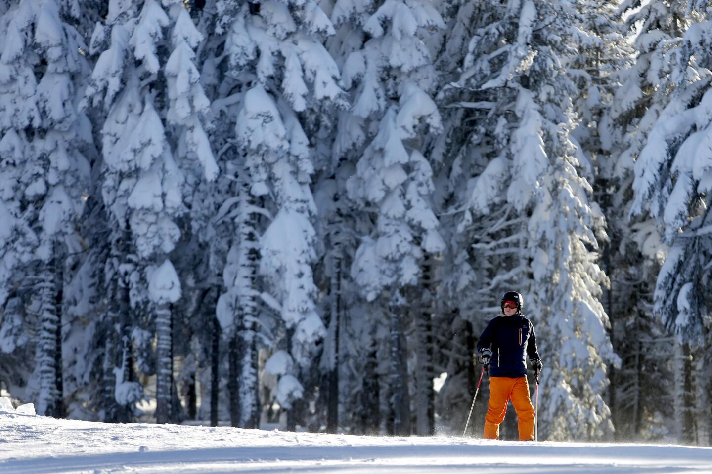
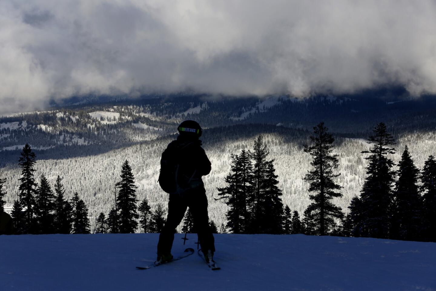
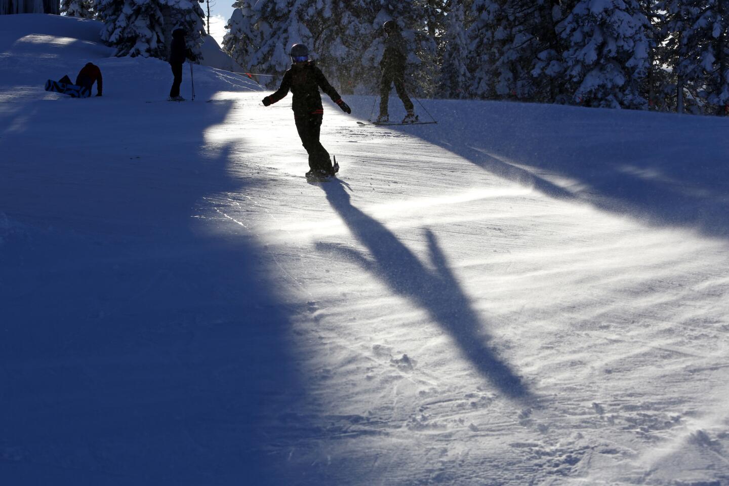
Northern California was pulled out of a five-year drought by a series of storms over the last few weeks that deposited huge amounts of snow over hundreds of miles of the state’s greatest mountain range, the Sierra Nevada.
Officials hope the next band of storms will be cold, adding more snow that will slowly make its way into California’s complex water delivery system in the coming months.
Warm winter storms can also provide water storage if rain falls on top of a thick snowpack and refreezes as it drips below. But warm storms can cause other problems, triggering floods when rain hits snow-clogged storm drains in Lake Tahoe towns and delivering clumpy, heavy, wet snow that can pile on trees, causing them to fall and bring power lines down with them.
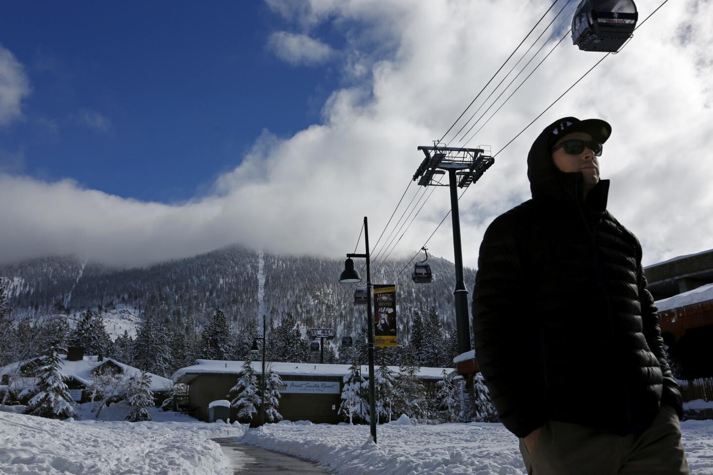
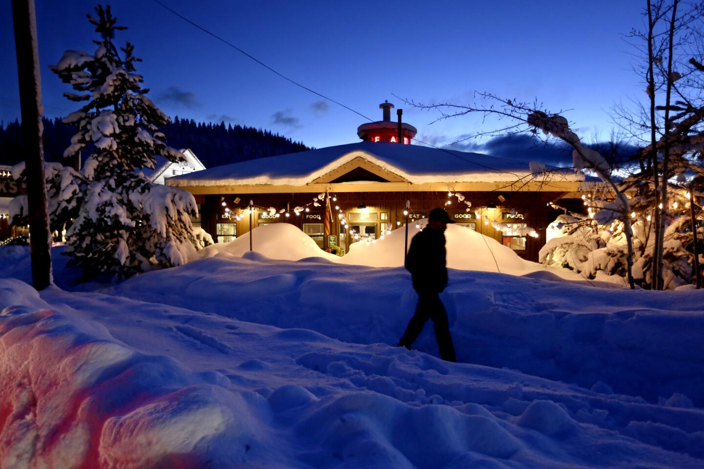
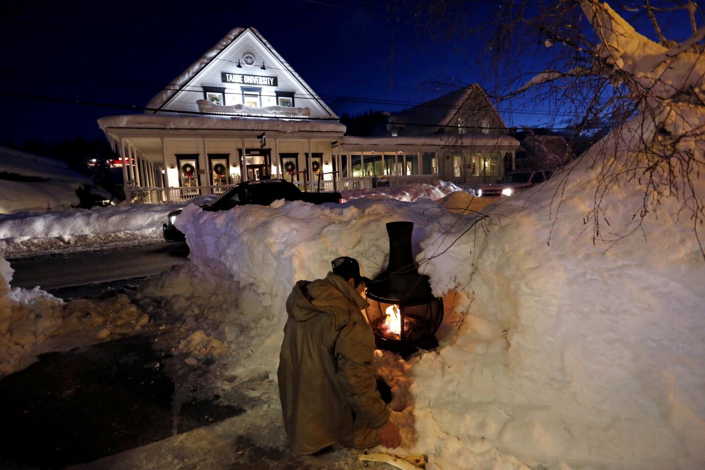
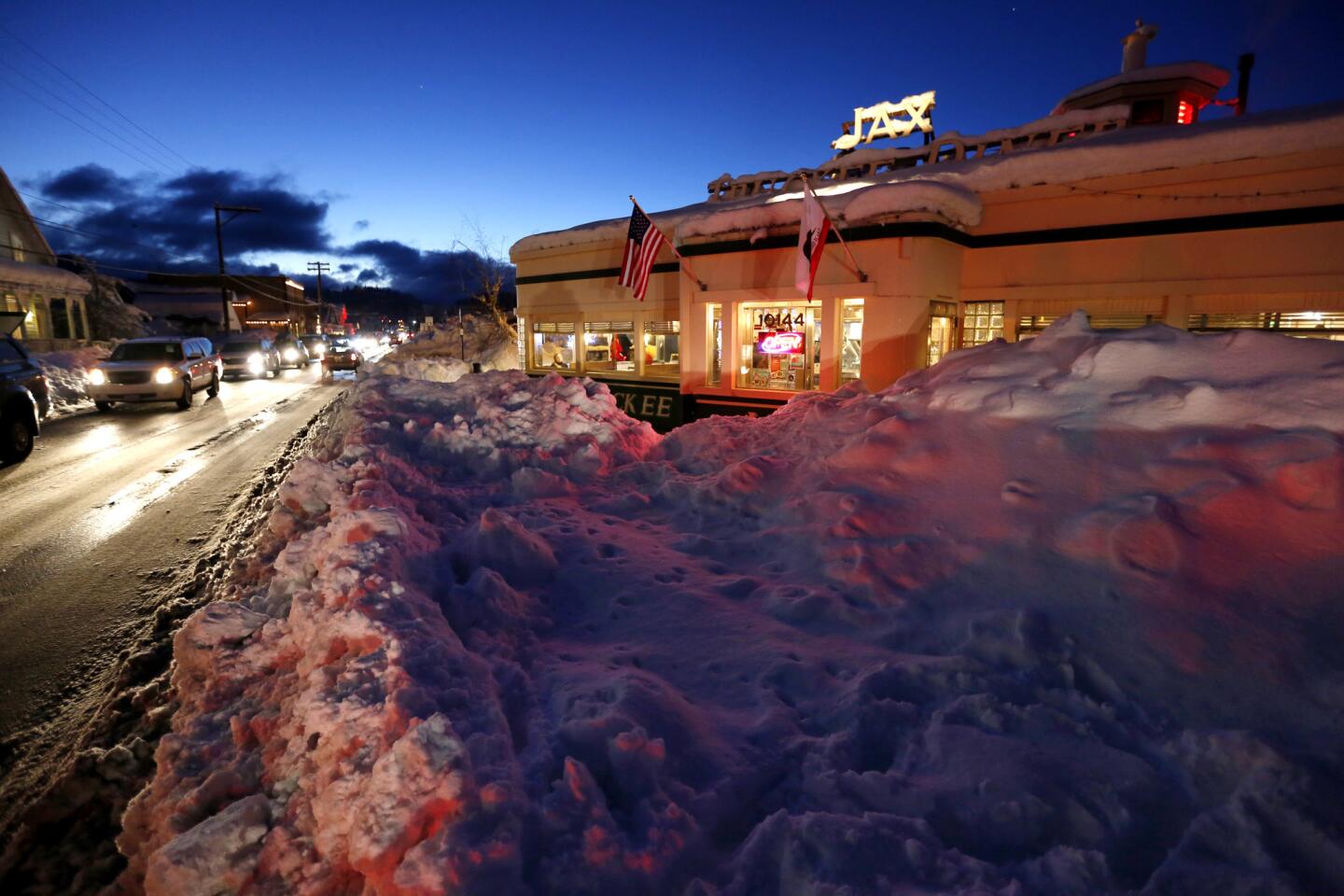
Lake Tahoe is still digging out from a week that brought its worst winter storm in a decade. In the middle of last week, a warm moment in the middle of a blizzard dumped “Sierra cement” snow, blamed for helping to bring down a centuries-old tree on top of the main electricity transmission line for the California side of Lake Tahoe, plunging the entire region into darkness for more than 12 hours. Just a few days before that, an abnormally warm storm sent rain that washed 10,000 cubic yards of decomposed granite on all westbound lanes of Interstate 80.
So in recent days, locals have been hoping that this week’s storms would bring snow, not inches of rain that an earlier forecast said was possible and could bring flooding back. “Rain is the worst possible thing we can have,” said Kim Szczurek, administrative services director for the town of Truckee.
By Wednesday, the snow dances seemed to be working. Rain made only a brief appearance in Truckee and quickly turned into heavy snow, said Nicki Nelson, who works at a cooking supply store on Donner Pass Road.
“It’s slow and steady and looking beautiful,” said Eric T. Brandt, 54, of Tahoe City, who prepares a daily Lake Tahoe snow report. “The snow we’re seeing — and the feet and feet we’ve been getting for the last two weeks — it’s going to be here until May.”
Longtime residents have remarked how this winter finally feels like the winters of the past, in which big snowfalls were far more common, Brandt said.
The wet snow will still stick to trees and power lines, but at least the region will escape flooding problems, said Steven Poncelet, spokesman for the Truckee Donner Public Utility District.
This series of three storms, which will extend into next week, means California is set to continue its eye-popping run of accumulating snow in the Sierra. With about half the wet season over, precipitation levels have been neck-and-neck with the wettest winter in the historical record, in 1982-83. The northern Sierra has seen double the average precipitation for this time of year. And as much as 10 to 20 feet of snow has fallen at the highest mountain peaks during the most recent storm systems that were much colder than earlier bouts of warmer rains, said UCLA climate scientist Daniel Swain.
For the Tahoe area, it is already the 7th wettest January in 114 years of record keeping, said Edan Weishahn, meteorologist at the National Weather Service office in Reno.
As a result, California’s irrigation system is finally working as intended — plenty of snow piling up in the mountains, which can be stored into the summer months there as the stockpile of ice melts slowly, gently quenching the thirst of the state’s aqueducts and reservoirs during the long dry season.
Part of the reason why California has been hurt so badly in its five-year drought has not only been storms snubbing the state, but because precipitation that did come failed to fall as snow in the first place. “What little did fall as snow tended to melt earlier, because the overall ambient temperature was warmer,” Swain said. “It was a rain-on-dry ground situation.”
Importantly, the water content in the snowpack in all parts of the state is well above average at this point in the winter. Most of the state’s big reservoirs are topped out at the maximum level they can hold while still reserving space to hold water in the event of a flood, said Jeanine Jones, interstate resources manager for the California Department of Water Resources. “And with the prospect of typical winter storms going forward, we would hope to see additional increase in snowpack,” she said.
“It’s certainly deeper than anything we’ve seen in the last five years,” said state climatologist Michael Anderson.
Experts and officials, however, say that long-term warming trends are likely to complicate how California manages its water supply. Temperatures in the Sierra have been rising in the last few decades, which will pose problems for storing ice in the mountains during the winter and spring. Rain has also become more likely at higher elevations over the years, meaning more precipitation is falling as liquid, not snow.
Water is also running off into reservoirs earlier, a reflection of more rain falling in the mountains or snow melting closer to wintertime instead of the spring. “And that’s a fact of life that’s been happening for 50 years,” said Jay Lund, director of the Center for Watershed Sciences at UC Davis.
In the years to come, as the Earth warms, “these lower-elevation ski resorts are likely to see more rain than snow,” Lund said.
The solutions on how to change California’s water supply system won’t be easy. It’s financially and physically impractical to build enough reservoirs to replace the enormous storage capacity of the Sierra. One idea is moving water saved for droughts from reservoirs to underground storage. Another is moving people out of floodplains, Lund said, which would help reduce the need to keep reservoirs emptier during the winter to accommodate unexpected floodwaters.
Technology might help. One solution possibly achievable in the coming decades, Jones said, is improving forecasts of precipitation for the coming weeks and months. Such forecasts would allow reservoir managers to keep more water behind dams if the longer-term forecast appears dry. A pilot project is underway at Lake Mendocino to test this concept.
The three new storms are expected to hit much of the state. The first of the sequence reached California on Wednesday, and was already battering the San Francisco Bay Area, trapping a vehicle in floodwaters near Santa Rosa and felling a 40-foot tree blocking lanes on the Lawrence Expressway in Santa Clara. In the Sierra, traffic was stopped on Interstate 80 for a time Wednesday afternoon following spinouts at Donner Summit.
The second storm is expected by Friday, which could bring snow to the Grapevine, and a third is forecast for Sunday.
The last storm would mark the return of an atmospheric river over California, Swain said. It’ll probably be robust across the state, but may actually be most intense in Southern California.
All three rainstorms could give Los Angeles its biggest soaking so far this winter, said Stuart Seto, specialist with the National Weather Service office in Oxnard. Between 3 to 6 inches could fall in the valleys and on the coast, and up to 9 inches are possible in some foothill and mountain areas. Officials are warning of possible flash floods and debris flow for burn areas and rock- and mudslides along canyon roads.
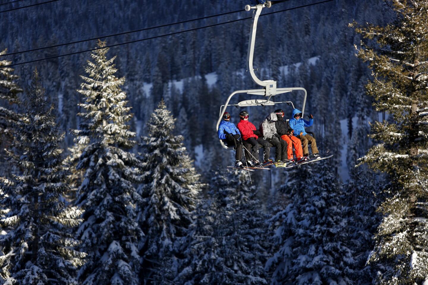
Ski resorts in the San Bernardino County mountains could see 2 to 3 feet of snow, the weather service said. “It’ll be crowded in the mountains after this is over,” said weather service meteorologist Brett Albright.
ALSO
Is the great California drought finally ending?
Developer Rick Caruso agrees to shave height of apartment tower
Video shows police cornering mentally ill man and fatally shooting him: ‘This was an execution’
More to Read
Sign up for Essential California
The most important California stories and recommendations in your inbox every morning.
You may occasionally receive promotional content from the Los Angeles Times.
