City to Name L.A. River Park Sites
- Share via
Taking an important step toward a long-sought dream of restoring the concrete-lined Los Angeles River, city officials today will announce the five sites where they intend to build a series of parks, pathways and pedestrian bridges to lure residents to the forsaken waterway.
There has been talk for years of sprucing up the river and placing it at the center of a string of new urban parks. But now city officials believe they have sufficient political consensus and funds to begin.
“We’re no longer just talking about this,” said City Councilman Ed Reyes, the chair of the council’s river panel. “People don’t realize how far we’ve gotten.”
In one spot north of Chinatown, officials hope to dig a second channel of the river that would slice through an industrial area and skirt the edge of the new Cornfields State Park that is under construction.
About three miles north in Taylor Yards, where another state park is in the works, city officials hope to obtain a parcel of land from the Union Pacific Corp. that would allow them to knock out some of the concrete channel to create a waterway that looks like a river.
Most daunting, perhaps, is a plan to build a park along the river downtown between the 1st Street bridge and the 10 Freeway -- a stretch now occupied by railroad tracks and a forlorn industrial area that is anything but green.
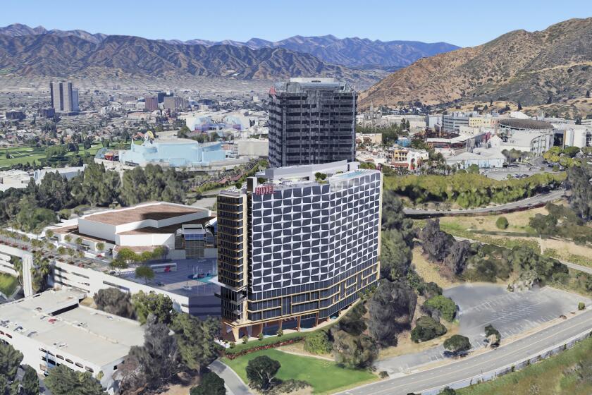
The other two areas for major park projects are the river’s headwaters in Canoga Park, where Calabasas and Bell creeks converge, and a series of parks at the confluence of the Verdugo Wash and the Los Angeles River near the junction of the Golden State and Ventura freeways. The mouth of the Verdugo Wash would be widened by removing some concrete and made to look more natural.
The five sites were among 20 “areas of opportunity” that the city wants to develop. The remaining sites will likely get smaller projects.
Some of what is being proposed may not be completed for 20 years or more, officials said. Still they remain hopeful that construction on a few projects could be underway within five years.
“I don’t want to over-promise anything,” said city engineer Gary Lee Moore. “What we’ve now done is taken five areas and actually shown the greening possibilities and some of the changes that might happen.”
Council President Eric Garcetti and Reyes both argue that, even without money, the city can change zoning laws to rid the river of some nuisance businesses.
“With new zoning we can change the face of the river without the funding,” said Garcetti. “If we do get the funding, then we’re looking at things moving very quickly.”
Officials acknowledge that many obstacles remain.
Among them are improving the river’s water quality, accommodating railroad tracks that run along the river, obtaining property, keeping the public away from the river during big storms and, most important, paying for it.
City officials and Mayor Antonio Villaraigosa are hoping money could be available from bond measures on the November ballot.
Sen. Barbara Boxer (D-Calif.) recently promised to seek $80 million from the federal government. Also working in the city’s favor is that several of its agencies, including the DWP and the Bureau of Sanitation, already own key properties along the river.
Beginning in the 1930s and ‘40s, after a series of devastating floods struck the city during massive winter rains, the U.S. Army Corp of Engineers and local agencies lined most of the 51-mile-long river channel with concrete.
That was a common flood-control practice across the U.S. at the time, but it soon prompted calls from environmentalists to restore some natural functions to the tarnished rivers.
Restorations already have happened in several cities, including Denver, Chicago, San Jose and Chattanooga, Tenn. With some irony, one of the major agencies involved is the corps, which in recent years has increasingly become involved in environmental restoration.
Three generals have visited the river in the last year, and the corps is working on its own feasibility study to determine how concrete could be removed while retaining the river’s flood-control capacity.
One project likely to be completed first is the extension of a bike path along the river that would one day connect Glendale and Atwater Village to downtown. The city attorney’s office has begun exploring ways to acquire rights-of-way through several properties near Elysian Park for an additional 2.6 miles of pathway south of Fletcher Drive.
Other ideas include planting thousands of trees to beautify river-adjacent residential and industrial neighborhoods, converting streets to parkland between the river and the Cornfields park and installing removable dams near downtown to create artificial lakes during the summer months.
“Twenty years ago we were cutting through chain-link fence to get people to the river,” said Shelly Backlar, the executive director of Friends of the L.A. River.
“I may be more optimistic than some, but I think it’s now only a matter of when restoration is going to happen.”
*
(BEGIN TEXT OF INFOBOX)
Meeting schedule
The city is holding three meetings in the next few days to get residents’ ideas on Los Angeles River projects. Public testimony will be used to help shape a river master plan, scheduled for release in January, with the expectation that it will go to a City Council vote early next year. At that point, specific designs and plans for each of the five parks will be developed.
Nine more meetings will be held later in the year. The first three upcoming meetings:
Today, 10 a.m.: Goodwill Workforce Center, 342 N. San Fernando Road, Los Angeles.
* Tuesday, 6 p.m.: Oakwood Secondary School, 11600 Magnolia Blvd., Encino.
* Wednesday, 6 p.m.: Evergreen Recreation Center, 2844 E. 2nd St., Boyle Heights.
Los Angeles Times
More to Read
Sign up for Essential California
The most important California stories and recommendations in your inbox every morning.
You may occasionally receive promotional content from the Los Angeles Times.


