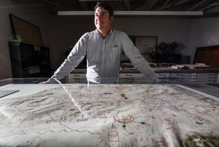
<i> Map of Syria/Palestine from the year 952 by Abu Ishak Ibrahim B. Muhammad Al-Farisi Al-Istakhri. From Kenneth Nebenzahl, </i> MAPS OF THE HOLY LAND: IMAGES OF TERRA SANCTA THROUGH TWO MILLENNIA <i> (Abbeville: $55; 160 pp.; 73 color, 19 black-and-white illustrations).</i>
- Share via
Of this map, Nebenzahl writes:
“Istakhri’s map of Syria/Palestine appears in his atlas of twenty-one maps entitled BOOK OF ROADS AND COUNTRIES, compiled in 952. Both scientific and aesthetic principles guided the design of these atlases, which were intended as fine literature for a highly cultured court... One of the difficulties for the modern view is that the map, with south at the top, appears to be upside down. This orientation may reflect the desire to place Mecca above all else or the fact that Islam expanded into Africa and across the Indian Ocean.”
More to Read
Sign up for The Wild
We’ll help you find the best places to hike, bike and run, as well as the perfect silent spots for meditation and yoga.
You may occasionally receive promotional content from the Los Angeles Times.


