3 Power Outages Reported : March Roared In Like a Wet Lion
- Share via
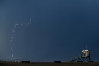
March ended up roaring into San Diego louder than anticipated, as a storm blew in Monday night wetter, windier and a day earlier than forecast.
“The low pressure aloft changed direction on us and moved down the coast much more rapidly than we thought,” said Ray Robben, a National Weather Service forecaster.
A slight chance of showers will remain through this) morning, but fair skies and warmer temperatures are expected to return to San Diego this afternoon as the moist, unstable air from the storm moves east, Robben said.
But the gusty winds that accompanied the storm are expected to persist through Thursday, with gusts up to 20 m.p.h. in the coastal and inland areas, he said.
Three Power Outages
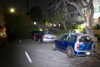
The wind contributed to two power outages Monday night when tree branches fell onto power lines in Oceanside and Fallbrook, said San Diego Gas and Electric spokesman Tom Murnane. He said about 300 customers lost power for about an hour in each case.
The storm also contributed to an outage in Escondido early Tuesday morning, when moisture leaked into an underground cable, Murnane said. About 4,300 customers were without power for three hours.
“There was more activity than usual, but it was nothing like those storms we got earlier this year,” he said.
As of 8 p.m. Tuesday, Lindbergh Field had received 0.23 of an inch of rain from the storm.
Other areas had received rainfall amounts ranging from 0.09 of an inch in El Cajon to 0.44 of an inch in Escondido during the 24-hour period ending at 4 p.m.
“This is more of a showery situation, as opposed to steady rain, so it’s tough to forecast (rainfall amounts),” Robben said.
The total rainfall at the airport for the season, which began July 1, hit 8.85 inches by 4 p.m. Tuesday, far above the 6.69 inches that is normal for this time of year.
Temperatures to Rise
Temperatures will nudge up a couple of degrees each day as the weekend approaches, Robben said. Tuesday’s high of 61 degrees was five degrees below normal for the date.
“We will be far more seasonable as we move into the weekend,” he said.
Coastal and inland areas will have highs in the 62- to 68-degree range today, with coastal lows in the mid 50s and inland lows in the upper 40s.
Mountain areas will have highs in the 40s, with lows near the freezing level. Desert highs will be in the 66- to 74-degree range today, with lows in the 50s.
More to Read
Sign up for Essential California
The most important California stories and recommendations in your inbox every morning.
You may occasionally receive promotional content from the Los Angeles Times.


