Transit Panel Approves Northern Link to South Bay Light-Rail Route
- Share via
The northern portion of a planned light-rail line that would run from Marina del Rey south to the Century Freeway near El Segundo, and eventually through the South Bay, has been approved by county officials.
There was little community opposition to the route selected by the Los Angeles County Transportation Commission at the sparsely attended public hearing this week in Westchester.
Steve Lantz, a spokesman for the commission, said the absence of community opposition is probably because the route does not go by many residential areas.
County officials said an environmental impact report will determine the effects of the proposed line on businesses along the route. A draft of the report will be available in December for public review, with the final report expected in March.
The 5.3-mile fully automated line is estimated to cost between $40 million and $60 million per mile. It will be paid for from Proposition A funds, the additional half-cent sales tax that voters approved in 1980 for countywide public transit programs.
Next spring, the commission is expected to decide which of many light-rail routes it will fund. Lantz said the Marina del Rey line is a priority, and if funded could begin operation in 1993 when the Century Freeway line opens.
The Marina del Rey-to-Century Freeway line is considered the northern segment of what the commission calls its Coastal Corridor. The line will eventually run south along Hawthorne Boulevard to Torrance.
The commission hopes to build a line that would connect with the northern end of the Coastal Corridor in Marina del Rey and run north along the San Diego Freeway to the San Fernando Valley.
For the Marina del Rey segment, the commission had been considering running the line through the airport with one or more stops at terminals. But that plan was rejected last month after it was determined that it would add $200 million to the total cost. That route would have also excluded the Westchester area from rail service.
The commission also had considered an alignment that would have turned north on Airport Boulevard from Century Boulevard and then west to Parking Lot C, but ruled it out because it would have created more engineering and operational problems, according to Lantz.
The proposed route now would begin at the Century Freeway near Imperial Highway and extend north along the west side of Aviation Boulevard within the railway right of way. The line would be elevated until it passes 111th Street where it would become street level past the Los Angeles International Airport runways. It would then become aerial again and turn west along the south side of Century Boulevard.
After crossing Avion Drive, the line would swing north across property containing a car rental business and to the airport long-term Parking Lot C. It would then turn westerly along the Westchester Parkway until swinging northwesterly along Lincoln Boulevard. Two alternatives are being considered for Westchester Parkway, with either a line down the south side or one on the center median.
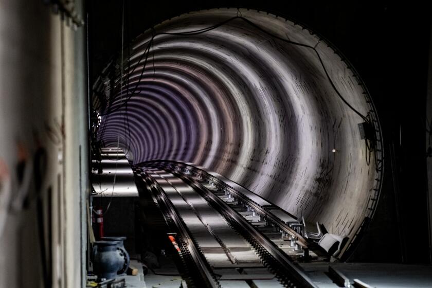
The line would continue to be elevated along Lincoln Boulevard until it passes La Tijera, where it would become a subway crossing under Manchester. The tunnel would end at Hughes Terrace and continue elevated along Lincoln Boulevard.
East side and center median alternatives are being considered along Lincoln Boulevard in the Playa Vista area. The line would end in Marina del Rey just northeast of Lincoln and Culver boulevards.
Proposed stations would be at Century and Aviation boulevards, airport Parking Lot C, Westchester Parkway and Sepulveda Boulevard, and three along Lincoln Boulevard at Westchester Parkway, Jefferson Boulevard and Culver Boulevard.
More to Read
Sign up for Essential California
The most important California stories and recommendations in your inbox every morning.
You may occasionally receive promotional content from the Los Angeles Times.


