Scientists Probe 1912 Volcanic Eruption
- Share via
VALLEY OF 10,000 SMOKES, Alaska — They call this wind-scoured place “hell with the fires burned out,” a desert of pumice and ash piled 700 feet deep by the most powerful series of volcanic blasts this century.
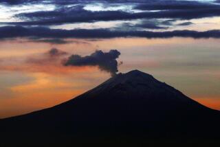
Geologists continue trying to sort out the plumbing beneath Novarupta Volcano, which erupted in June, 1912, with a force 10 times that of the Mt. St. Helens explosion a decade ago.
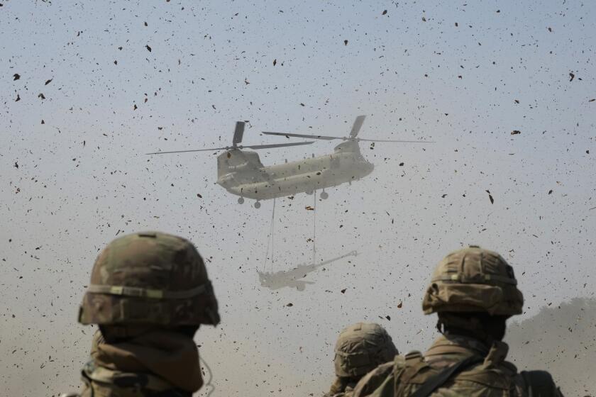
For the last two summers, a multiagency team of scientists has been ferrying supplies and equipment by helicopter in and out of this roadless and unique corner of the 4-million-acre Katmai National Park and Preserve.
The area was established in 1918 by President Woodrow Wilson, who set aside an initial 1,700 square miles to preserve an area of “importance to the study of volcanism.”
Scientists want to pinpoint the size, shape and location of the eruptive vent.
“It will help us predict eruptions, find ore deposits and better understand the earth’s process,” said Tom Miller of the Alaska Volcano Observatory in Anchorage.
But because the science is being gathered in a wilderness area, the project is not without controversy.
A dozen scientists were tiptoeing around this summer, trying not to intrude on the wilderness experiences of backpackers trekking more than a dozen miles to the shelter of two ramshackle huts on Baked Mountain, near where the volcano is believed centered.
Proposals to drill two holes deep into the body of the still-warm volcano already have begun drawing fire, although the environmental impact statement has not yet been written and public hearings are at least a year away.
“I got a couple of letters about it, critical of the drilling a few days ago,” said Alan Eliason, Katmai’s new superintendent. “I think they were written by people who used to work here.”
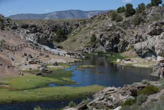
When Robert Griggs first saw the valley that he appropriately named the Valley of 10,000 Smokes, the sounds were deafening as thousands of fumaroles, or vents, hissed and roared, spitting steam and heat into the air.
“The whole valley as far as the eye could see was full of hundreds, no thousands--literally, tens of thousands--of smokes curling up from its fissured floor,” said Griggs, who explored the Ukak River valley in 1916 for the National Geographic Society.
The valley is silent now, except for the wind. And most of the fumaroles were extinct by the 1930s, although hikers can warm their hands over a few small holes that emit odorless steam clouds near the Novarupta vent.
“There are a couple around here that go about 80 degrees Fahrenheit,” John Eichelberger, chief scientist for the project, said while guiding a reporter around.
Except for several deep gorges and an endless number of gullies cut by glacial or snow melt into the tan, brown and orange moonscape, the 40-square-mile valley appears much as it did after being cooked 78 years ago.
The scent of sulfur from nearby Trident Volcano drifts faintly on the wind as you stand surrounded by evidence of the fury of the eruption.
Even the place names tell a story: Baked Mountain. Broken Mountain. Falling Mountain. Knife Creek.
All are the physical reminders of an eruption that spawned ash clouds so thick that they darkened skies over the Atlantic states, dropped summer temperatures around the Northern Hemisphere an average of 1.8 degrees and released acid rain on Vancouver in Canada’s British Columbia, disintegrating clothes drying on lines.
“Half of the eruptive volume blew up, sending ash into the atmosphere. The other half, with larger fragments, blew a day or so later and went laterally,” Eichelberger said.
“It (gases, incandescent ash) moved at about 100 miles an hour and built up hundreds of feet thick in only a few hours. It came out of the ground at about 1,500 degrees.”
Miraculously, no one died in the explosions, which were heard clearly in Juneau, Alaska’s capital 750 miles to the south.
More to Read
Sign up for Essential California
The most important California stories and recommendations in your inbox every morning.
You may occasionally receive promotional content from the Los Angeles Times.


