Radar Device Expected to Improve Weather Forecasts
- Share via
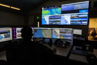
The National Weather Service announced plans Friday to build a Doppler radar to gather data for forecasts and warnings for residents of Orange, western Riverside and southwest San Bernardino counties.
The new device, to be installed in the Cleveland National Forest, is expected to significantly improve the quality of weather forecasting here when it becomes operational next year.
The news came at the end of a week that brought heavy rains to Orange County, and one meteorologist said that forecasting would have been easier if the radar had been in place.
“I wish it were working right now,” said Armando Garza, meteorologist in charge of the weather service’s office in San Diego. “We will have better definition on severe weather events that occur throughout the county.”
The weather service currently relies on satellite technology, air-traffic control radar and “spotters”--people who call in with rainfall reports. By contrast, the Doppler will help pinpoint heavy rainfall areas, permitting forecasters to say, for instance, that a specific amount of rain is falling in Irvine, Garza said.
The radar at first was to be installed at March Air Force Base in Riverside County but has been relocated because of base downsizing. It is planned for a 60-foot-by-90-foot site near the top of Black Star Canyon Road near the Oak Flat area in an Orange County section of the national forest, about five miles southwest of Corona.
The radar tower, topped with a golf ball-style dome, will be about 86 feet high and is expected to be fully operational by February 1997.
An environmental site study of the radar issued Thursday is being distributed to local libraries. More information is available from the weather service at (619) 675-8700.
The weather service has scheduled a public forum about its radar plans March 7 from 11 a.m. to 8 p.m. at the Corona Public Library, 650 S. Main St.
More to Read
Sign up for Essential California
The most important California stories and recommendations in your inbox every morning.
You may occasionally receive promotional content from the Los Angeles Times.


