Charting the Course of the American West
- Share via
Looking for maps of the Old West? Go east.
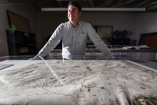
Through May 19, the New York (City) Public Library presents “Heading West: Mapping the Territory,” with about 175 maps, atlases, photographs and books dating to 1540. The exhibit draws from the library’s 6,000-piece collection on the American West, among other sources.
A 1540 chart by Sebastian Munster, for instance, shows a vacant waterway between Europe and Asia. By 1626, mapmaker John Speed was showing both North and South America-but with California broken off as an island.
Other items focus on early explorers, European settlement, the Gold Rush and tourism, including 19th century maps of Yellowstone National Park.
Starting April 6 (through July 7), the library mounts a related exhibit, “Touring West: 19th Century Performing Artists on the Overland Trails.” The artists range from opera singers to jugglers.
Both shows are at the library’s Humanities and Social Sciences Library, at Fifth Avenue and 42nd Street. Admission is free. Closed Sundays and holidays. Telephone (212) 869-8089, https://www.nypl.org.
Closer to home, the Oakland Museum of California is displaying, through May 27, 200 vintage photographs of the state. Edward Weston, Dorothea Lange and Ansel Adams are among the artists represented in “Capturing Light: Masterpieces of California Photography, 1850-2000.” Adult admission is $6. Closed Mondays and Tuesdays. Tel. (510) 238-2200, https://www.museumca.org.
More to Read
Sign up for The Wild
We’ll help you find the best places to hike, bike and run, as well as the perfect silent spots for meditation and yoga.
You may occasionally receive promotional content from the Los Angeles Times.


