Travel delays: I-15 to Vegas, I-5’s Grapevine reopen after drivers stranded in snow for hours
- Share via
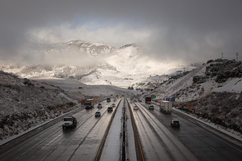
A strong winter storm that barreled into Southern California on Christmas Day and spent the night, dumping rain and blanketing the mountains with heavy snow, continued to cause travel delays Friday.
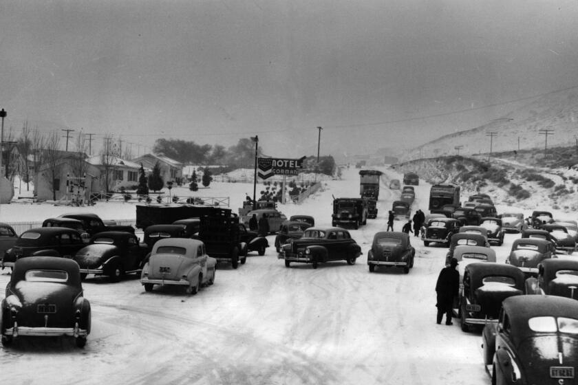
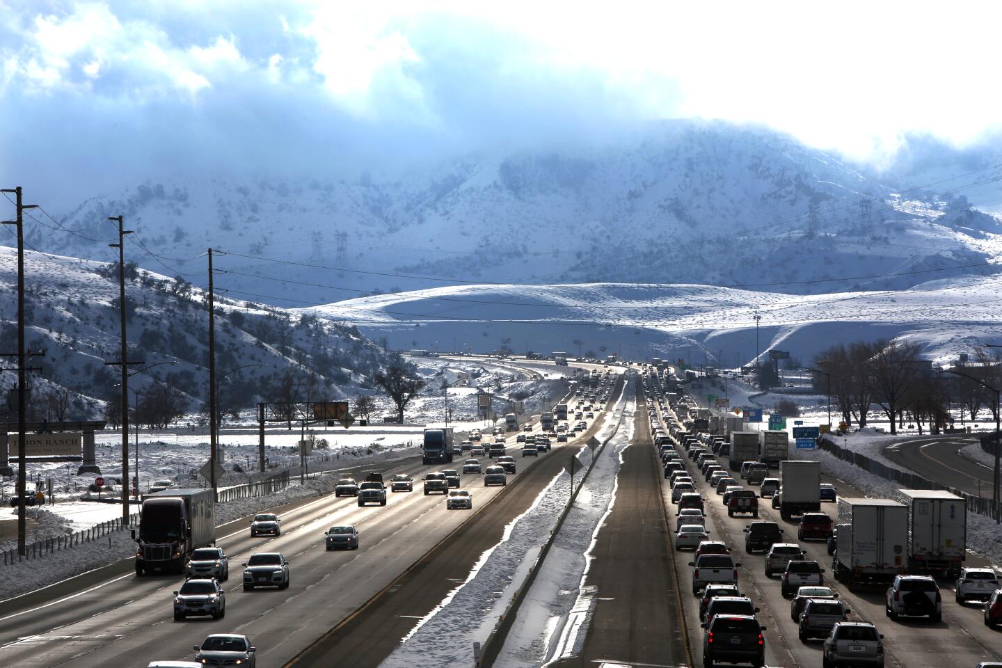
Interstate 5 at the Grapevine, which authorities shut down amid heavy snowfall late Wednesday, reopened Friday morning after a roughly 36-hour closure.
Crews with the California Department of Transportation had been working to clear most of the snow that had fallen over the stretch of highway. Their efforts were made more difficult by single-digit temperatures overnight that caused miles of roadway to ice over. Once the pavement thawed, about midmorning Friday, officers began escorting traffic through the Grapevine pass, according to the California Highway Patrol.
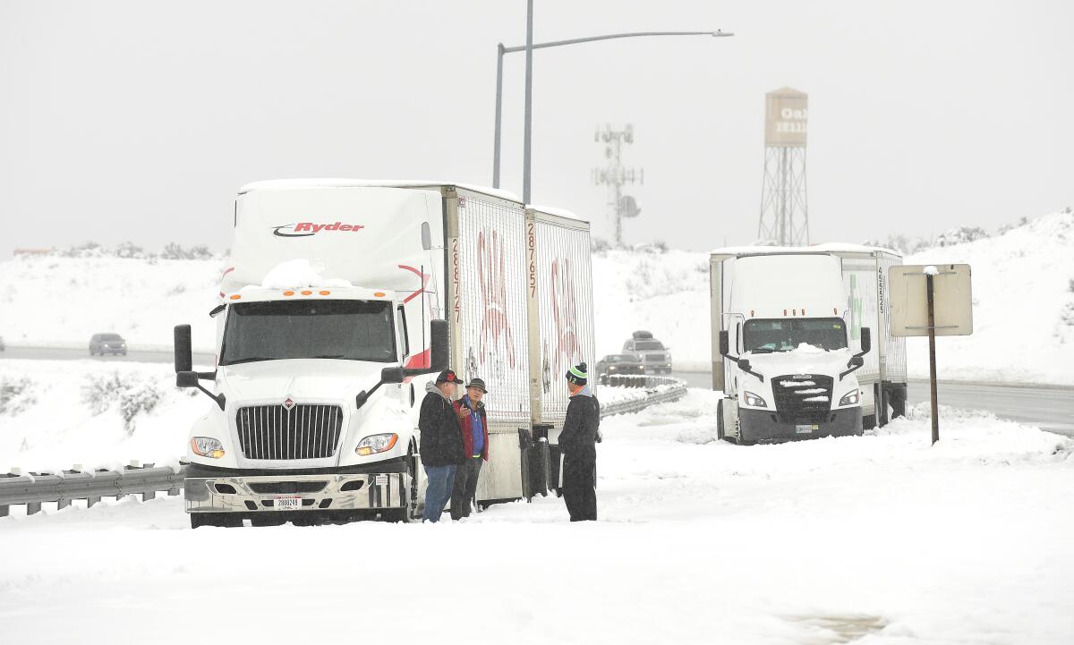
Interstate 15 — the main artery from Southern California to Las Vegas — was also closed in both directions from the Nevada state line to Baker for several hours overnight as crews worked to remove 3 feet of snow and ice from the roadway. The northbound lanes of the interstate reopened about 8 a.m., and the southbound lanes reopened just before 9:30 a.m., according to the CHP.
Motorists told reporters at the scene early Friday that they had been stuck on the freeway for at least eight hours. Several pulled over onto the side of the road to sleep and conserve gas amid chilly temperatures that plunged into the 30s overnight.
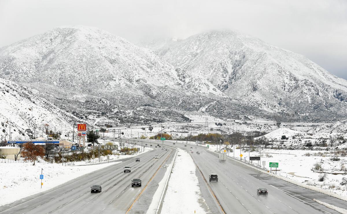
Locally, traffic on the 14 Freeway in Palmdale slowed to a crawl Friday morning after slick roads caused several crashes and sent a big rig sliding down a snow-covered embankment near Pearblossom Highway, the CHP said.
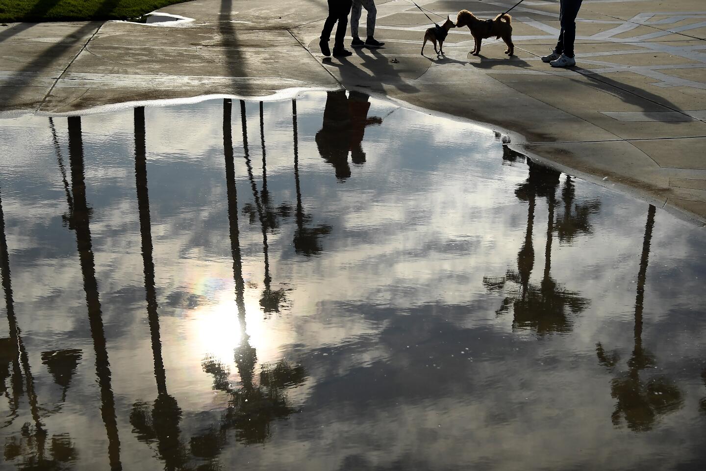
This week’s storm dumped an inch to 3.5 inches of rain across Los Angeles County over the course of two days. Alhambra received a solid soaking with 3.46 inches — the highest in the region — while South Gate and Pasadena received 3.02 inches and 2.91 inches, respectively. The storm dumped 1.75 inches on downtown Los Angeles during the same time period, according to the National Weather Service.
Interstate 5 connects Los Angeles and Kern counties, but it can become a major choke point when the weather turns bad.
In Orange County, Huntington Beach was atop the leaderboard in terms of rainfall, receiving 2.48 inches during the 12-hour period ending at 8 a.m. Thursday, according to the weather service.
Corona del Mar also got a soaking, with 2.12 inches of rain recorded during that period. Parts of Laguna Beach also neared the 2-inch mark. Costa Mesa received 1.65 inches of rain, and 1.74 inches fell at John Wayne Airport, the weather service reported.
The storm also sent rocks sliding onto Laguna Canyon Road near Canyon Acres Drive in Laguna Beach early Thursday, damaging a vehicle. Laguna Canyon Road between El Toro Road and Canyon Acres will be closed until 2 p.m. Friday as crews work on stabilizing the hillside.
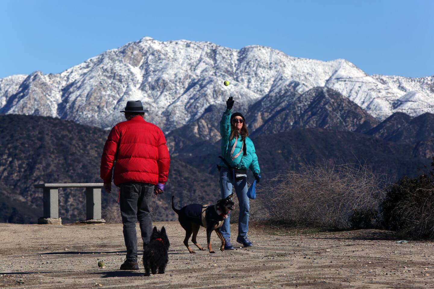
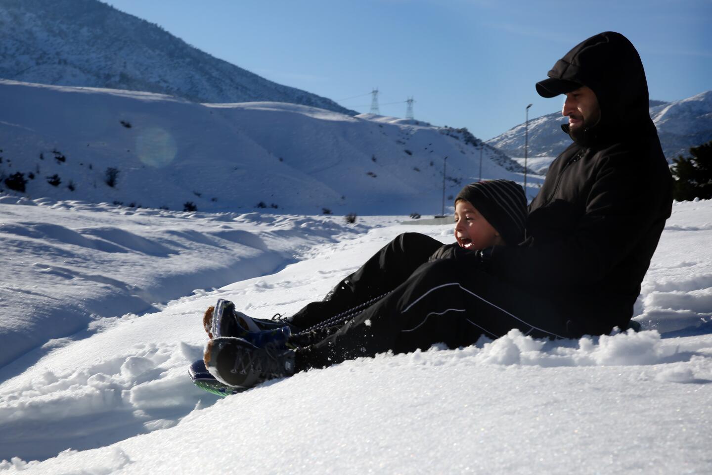
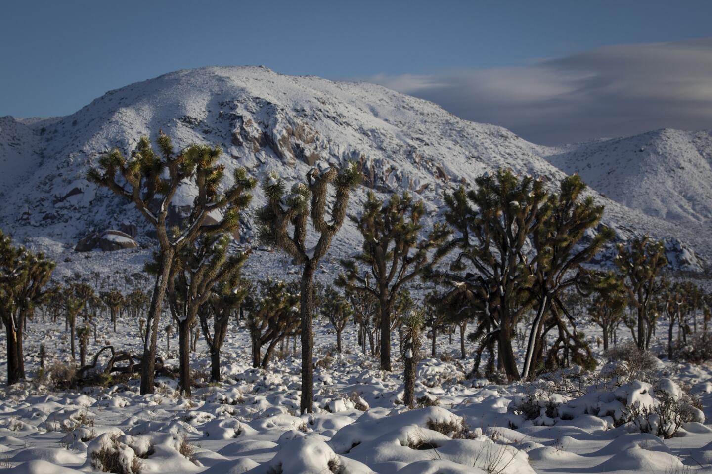
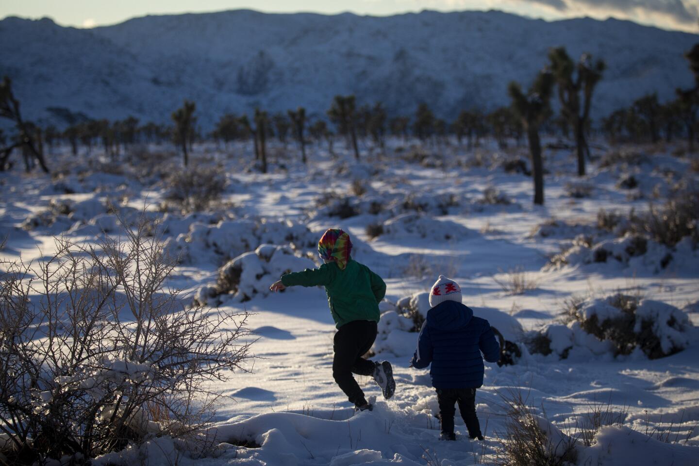
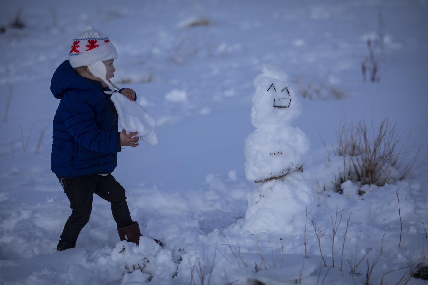
The storm also brought heavy snow to local mountain ranges. Mountain High Resort received 3 feet of fresh powder from the system. Mt. Wilson, in the San Gabriel Mountains, received more than a foot and a half of snow. The fresh snowfall is a boost for ski resorts, but it has created headaches for commuters trying to get across mountain passes.
But forecasters say sunshine is on the way. Friday through much of the day Sunday is expected to be dry across Southern California. Temperatures will remain a bit chilly, hovering in the high 50s for much of the weekend, said Andrew Rorke, a senior forecaster with the National Weather Service in Oxnard.
More rain is expected to creep back into the Southland late Sunday through Monday. However, it is not expected to be as strong of a storm as this week’s soaker.
“It’s going to be a typical winter storm,” Rorke said. “Nothing earth-shattering.”
That system is expected to drop only a quarter of an inch to half an inch of rain across the region before it moves out by Tuesday, just in time for New Year’s celebrations. Forecasters say it’s too early to tell how low snow levels will get with this next storm. Rorke said snow from the system could affect travel leading up to New Year’s Day.
A storm rolling into Southern California was bringing dangerous driving conditions to the Grapevine on Wednesday as Thanksgiving travel picked up.
“It won’t be nearly as much snow, but the Grapevine is definitely not out of the woods,” he said.
Times Community News writer Luke Money contributed to this report.
More to Read
Sign up for Essential California
The most important California stories and recommendations in your inbox every morning.
You may occasionally receive promotional content from the Los Angeles Times.

