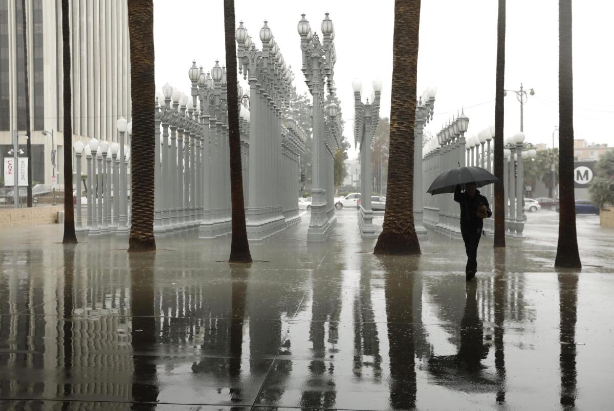
Remember rain? An atmospheric river is bringing it back to Southern California

- Share via
It’s time to ready those rain boots and umbrellas because wet weather is returning to Southern California starting this weekend.
The first in a pair of storms to hit the Southland is expected to arrive Saturday, dropping temperatures into the low to mid-60s and bringing a chance of showers across the region through Sunday. Precipitation is expected to be light, with totals less than a tenth of an inch, said Kristen Stewart, a meteorologist with the National Weather Service in Oxnard.
“That’s really just the precursor to the main event next week,” she said.
On Monday, a moisture-rich atmospheric river — fed by a plume of subtropical water vapor at the lower and middle levels of the atmosphere — is expected to bring widespread rain to the area. The strongest rain is expected Tuesday.
That storm will linger through at least Wednesday, bringing 1 to 3 inches of rain. Some southern areas, including the foothills of the San Gabriel Mountains, could see up to 4 inches of rain, Stewart said.
Snow levels will start out high, at around 8,000 feet, before dropping to about 6,000 feet early Wednesday. That means snow accumulation will likely remain at the resort level, where significant totals are possible, according to the weather service.
The rain appears to be just in time to help the region rebound from disappointing precipitation totals after a parched start to 2020. A high-pressure ridge that lingered over the eastern Pacific Ocean for much of January and February rerouted winter storms that typically soak California and the Pacific Northwest during what are usually the state’s wettest months.
A total of 0.04 inches of rain fell in downtown Los Angeles last month, placing it in a tie with February 1899 for the 10th-driest February on record. Downtown L.A. also had its fourth-driest combined January and February on record after just 0.36 inches fell during the first two months of 2020. The driest combined January and February occurred in 1912, when a scant 0.07 inches of rain fell in downtown.
Forecasters and water managers keeping a close eye on precipitation are hopeful that a wet month, a phenomenon known by weather experts as a “miracle March,” may help bolster lackluster winter rain totals and help keep the state out of drought conditions.
A dry few months have already taken their toll on much of the state. Nearly 70% of California, including much of Los Angeles County, is considered to be in abnormally dry conditions. Just over 34% of the state, including portions of the Bay Area and much of the San Joaquin Valley, is considered to be in moderate drought conditions, according to maps released Thursday by the U.S. Drought Monitor.
“For the water year, we’re 4 inches below normal in downtown L.A.,” Stewart said. “This upcoming storm will bring us pretty close to where we need to be.”
More to Read
Sign up for Essential California
The most important California stories and recommendations in your inbox every morning.
You may occasionally receive promotional content from the Los Angeles Times.


