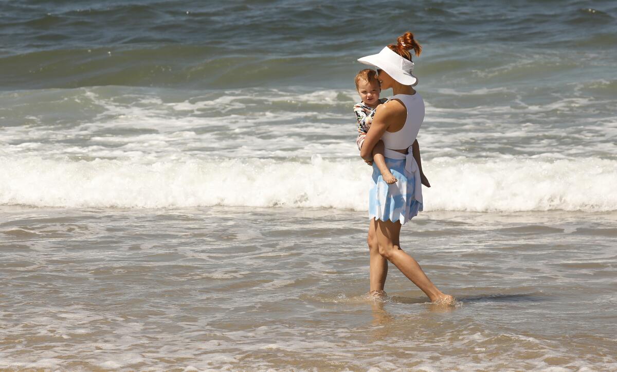
After blistering heat wave, June gloom set to return to Southern California

- Share via
It’s fun to brag about Southern California’s temperate climate — until a heat wave strikes.
This week, the region saw an unusual heat wave, with humid, almost monsoon-like conditions adding to the misery. It also rained Thursday for about five minutes.
In the Antelope Valley, Lancaster hit 110 degrees Friday, breaking the record of 108 for the date set in 2017, and Palmdale reached 108, tying its record of 108 in 2017. Sandberg, a small community near the Interstate 5 corridor through the Grapevine, hit 104, breaking the record of 99, also set in 2017.
While coastal areas will see cooler temperatures this weekend, hot weather and fire conditions are expected to continue in other parts of Southern California through Monday, with some inland, valley and mountain areas seeing high temperatures, low humidity and wind gusts of up to 40 mph.
Excessive heat warnings remain in place for Los Angeles County mountain areas through Saturday evening, and in the Antelope Valley through Sunday night. A heat advisory also remains in place for the Santa Clarita Valley.
The good news is that the heat wave is about to break.
“We’re expecting a cooling trend over the next few days, Tuesday and Wednesday, where temperatures will actually cool to near or slightly below normal as we go back to a June gloom type of pattern,” said David Sweet, a meteorologist with the National Weather Service in Oxnard.
Next week, beach communities will see cool temperatures and cloudy skies, Sweet said.
“It was like this past week, we forgot about June gloom,” he said. “Now we’re switching back to normal.”
More to Read
Sign up for Essential California
The most important California stories and recommendations in your inbox every morning.
You may occasionally receive promotional content from the Los Angeles Times.


