New tsunami hazard maps highlight threat facing seven California counties — even Napa

- Share via
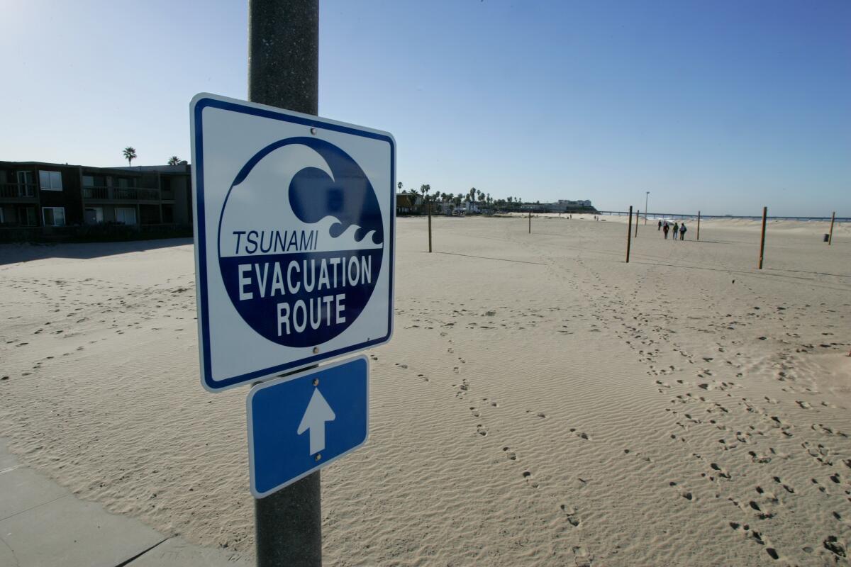
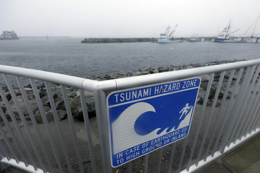
For the first time since 2009, the California Geological Survey has released new tsunami hazard area maps for Ventura, San Diego, Marin, Napa, Santa Cruz, Solano and Sonoma counties to help residents better understand the risks from a tsunami and how to best plan for a potential evacuation.
In a news release, the state geological agency said the updated maps for the seven counties included new data and improved computer modeling since an earlier series of maps was published 13 years ago, as well as threats from tsunamis originating far away and locally. Thirteen other counties, including Los Angeles and Orange, received new updates over the last year, according to the agency.
“The good news is we haven’t seen full-scale large changes on the maps,” said Rick Wilson, senior engineering geologist and head of the California Geological Survey’s tsunami unit. “It’s just a good opportunity for people to go our website and check out if their area has changed, and plan appropriately.”
California is hit by about one tsunami a year, but most are barely noticeable. That said, if you live or work near the water or ever visit the coast, you should know what to do if there’s a big earthquake or a tsunami warning.
Although tsunamis in California are rare, the state’s entire coastline is vulnerable to one at any given time, according to the California Governor’s Office of Emergency Services. The last tsunami to hit California was in January, after a volcanic eruption in the South Pacific Ocean near Tonga sent 2-foot tsunami waves barreling through the Bay Area more than 5,000 miles away.
One example of the new modeling predictions shows that an earthquake off the Aleutian Islands, a cluster of islands off the coast of Alaska, could bring 18- to 25-foot swells of waves to the Santa Cruz Boardwalk — twice as high as the predictions made in 2009.
According to the National Weather Service, tsunamis can travel up various bodies of water, including rivers and streams that lead to oceans, meaning they can pick up more momentum for flooding and travel further inland than normal waves and cause more destruction. The most dangerous places to be when tsunamis hit are beaches, lagoons, bays, estuaries, tidal flats and river mouths.
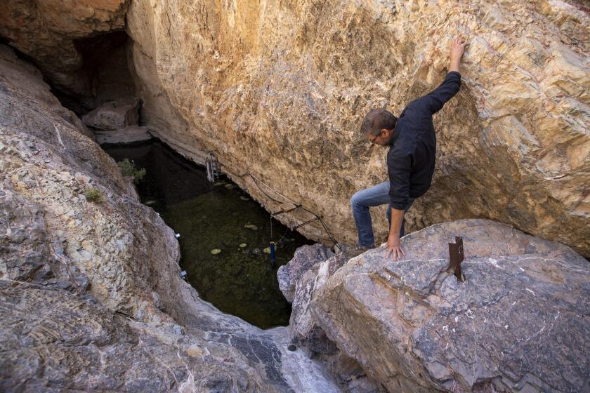
The pool in Devils Hole, home to the endangered pupfish, saw waves erupt up to 4 feet high after a 7.6-magnitude earthquake hit near Mexico on Monday.
Given that 26.3 million Californians live in coastal parts of the state, it’s important that residents are aware of where their tsunami evacuation zones are, and how they plan to get there in the event a tsunami hits the area.
Despite the changes to these new maps, the probability of these events is low, Wilson said, and the purpose of the new maps is to help Californians be best prepared in the rare event that a tsunamic event does occur.
“Our goal is to ensure that coastal communities are aware of and prepared for the next tsunami,” the California Geological Survey said. “The updated Tsunami Hazard Area Maps can be used by officials, communities and individuals/families to update or create their tsunami evacuation plans.”
More to Read
Sign up for Essential California
The most important California stories and recommendations in your inbox every morning.
You may occasionally receive promotional content from the Los Angeles Times.


