Colorado River losing vast amounts of water due to warming climate, study finds
- Share via
For much of the last 23 years, the Colorado River has been ravaged by unrelenting dryness, its reservoirs falling to their lowest levels since they were filled. New research shows that global warming is a major culprit, shrinking the river’s flow and robbing the region of a vast amount of water.
A team of scientists at UCLA estimated that from 2000 to 2021, rising temperatures led to the loss of about 32.5 million acre-feet of water in the Colorado River Basin, more than the entire storage capacity of Lake Mead, the country’s largest reservoir.
The scientists said that if it weren’t for the effects of climate change, the river’s reservoirs probably would not have declined to the point of triggering the first-ever government-declared shortage.
The river’s flow has decreased an estimated 10.3% because of higher temperatures, and the researchers warned that the water supply is set to shrink further as warming driven by the burning of fossil fuels continues to dry out the watershed.
“The long-term increase in temperature has had a large impact on this basin, and that’s what we quantified,” said Benjamin Bass, a water scientist at UCLA and the study’s lead author. “We’re going to continue to see reductions in runoff due to rising temperatures.”
Colorado River in Crisis is a series of stories, videos and podcasts in which Los Angeles Times journalists travel throughout the river’s watershed, from the headwaters in the Rocky Mountains to the river’s dry delta in Mexico.
Average temperatures in the Colorado River Basin have already risen about 2.7 degrees, according to the study, which was published in the journal Water Resources Research. The scientists estimated that for each additional 1.8 degrees Fahrenheit of warming, the river’s flow could shrink by about 7%.
The Colorado River provides water for cities, farmlands and tribal communities across seven states and northern Mexico. The river has long been overallocated, and its reservoirs have declined dramatically since 2000.
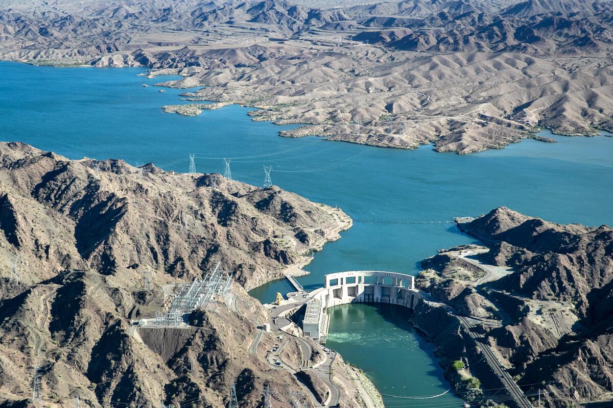
Storms this winter left the Rocky Mountains with one of the largest snowpacks in years, and the runoff has been boosting reservoir levels.
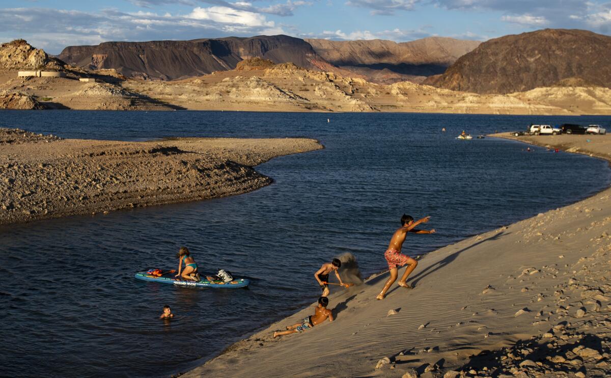
Still, Lake Mead remains depleted. The reservoir near Las Vegas — which stores water for Arizona, California, Nevada and Mexico — sits at 32% capacity.
The seven states that depend on the river have agreed on proposed plans to cut water use over the next three years, and the federal government in June initiated negotiations on long-term plans for dealing with shortages after 2026, when the existing interim rules expire.
The current system of dividing water among the states is based on the 1922 Colorado River Compact, which assumed a stable climate and overpromised what the river could provide. The negotiations on new long-term plans have brought calls for revamping the system to adapt to drier conditions and address the chronic gap between supply and demand.
“Going into the future, we may get some natural variability, wet or dry swings, but this study highlights that there’s been a decreasing trend in runoff,” Bass said. “In the long run, that’s likely to continue if greenhouse gas emissions are not reduced.”
Years ago, scientists said climate change would bring a Colorado River crisis. Their warnings, which largely went unheeded, are now playing out.
The study adds to a growing body of research detailing the toll the warming climate is taking on the Colorado River. Scientists have found that roughly half the decline in the river’s flow has been caused by higher temperatures, and that climate change is driving the aridification of the Southwest. In multiple studies, researchers have estimated that by mid-century, the river’s average flow could decline 30% or 40%, or more, below the average of the past century.
Already, the river’s flow has shrunk about 20% since 2000 during a megadrought that scientists have described as the driest 22-year period in the American West in at least 1,200 years.
Bass and his colleagues at UCLA sought to build on previous research by analyzing how increasing carbon dioxide levels affect the amount of water that plants take in and release as water vapor, thereby influencing the amount of runoff that reaches the river and its tributaries. They examined climate data, stream gauge measurements and other records, and used a model to analyze changes in hydrology as well as the response of vegetation to rising CO2 levels between 1880 and 2021.
They estimated that warming-driven water losses began to appear in the watershed around 1980, initially with reductions of about 2.5% in runoff. In recent years, the estimated losses have reached about 10%.
The researchers pointed out that this Lake Mead-sized loss of water from 2000 to 2021 totaled more than 10 trillion gallons. That quantity of water, if spread across Los Angeles County’s 2.6 million acres, would be about 12 feet deep.
Bass said he was surprised to see how sensitive the Colorado River Basin is to warming compared with other watersheds in the western U.S. He called it “a wake-up call to the climate change impacts we are living today.”
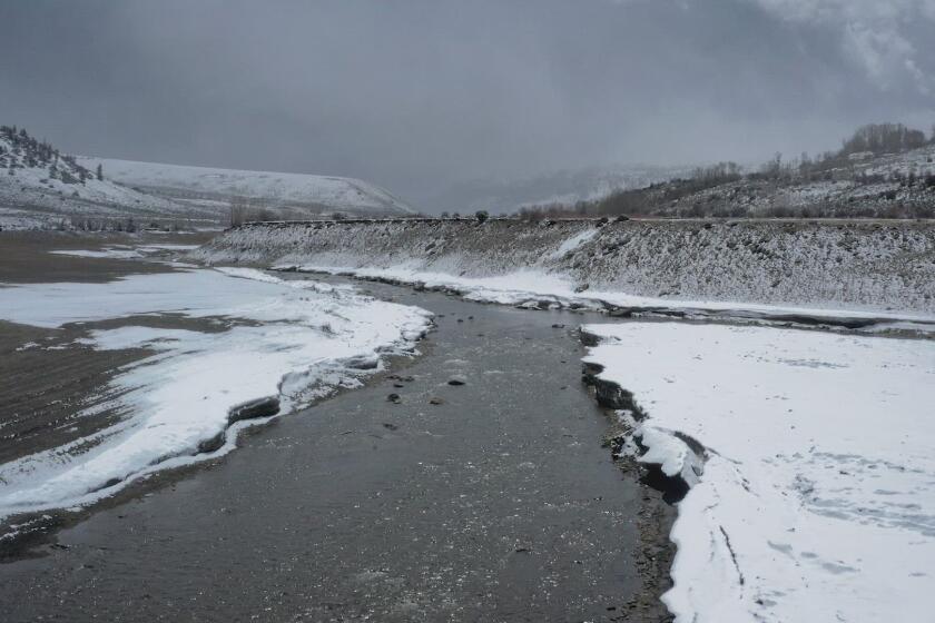
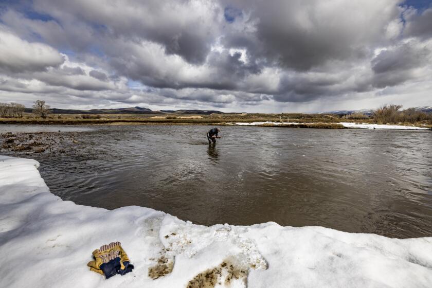
Much of the river’s water originates as snow and rain in the Rocky Mountains. The scientists found that parts of the watershed that are usually snow-covered in winter have been losing water about twice as fast as areas that typically remain snowless.
“Basically, the most crucial part of the basin in terms of water supply is drying at a faster rate than the rest of the basin,” Bass said.
The Colorado River is approaching a breaking point, its over-tapped reservoirs dropping. Years of drying have taken a toll at the river’s source in the Rockies.
The authors focused on how warming has affected the river’s flow, saying the exceptional warmth since 2000 has compounded a decrease in precipitation “primarily driven by natural variability.” They didn’t evaluate how much of the decrease in precipitation might be driven by climate change, and suggested that’s an important area for additional research.
Jonathan Overpeck, a climate scientist at the University of Michigan who wasn’t involved in the study, said the research makes a valuable contribution by detailing the changes affecting the Colorado River.
“I’m just worried that the actual sensitivity is larger,” Overpeck said. “The effect of climate change on river flows may actually be larger than they’re estimating.”
If the declines in precipitation are being driven partly by climate change, which appears likely, the effects on the river could be more extreme in the coming decades, Overpeck said.
“Half of the flow of the Colorado River may be lost due to climate change by mid-century,” Overpeck said. “I think that would be a more prudent way to look at it. Because it’s well within the scientific understanding at this point, and you don’t want to assume that you have more water than you really do.”
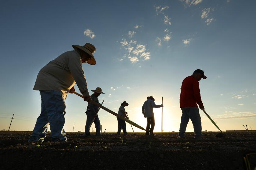
As the federal government pushes states to reduce usage of dwindling Colorado River water, Imperial Valley farmers fear a “worst-case” scenario.
Overpeck said the research underscores the importance of stopping the burning of fossil fuels as quickly as possible, and also the need for the Southwest to curb overuse of the river’s water as well as groundwater. To adapt to the drying climate, Overpeck said, the region should come up with a “verifiable strategy for sustainable water use.”
He said that should include efforts to recycle water and use water more efficiently. He also pointed out that large quantities of water are being used to grow water-intensive crops like alfalfa, some of which is exported to feed cattle in other countries.
“It’s all about using water a lot more wisely, and using Colorado River water less,” Overpeck said.
Recent discussions among the region’s water management officials have focused largely on efforts to reduce water use with support from $1.2 billion in federal funds made available through the Inflation Reduction Act. Interior Department officials have said much of the reductions in water use will come by paying agricultural landowners, water districts, tribes and others to conserve water, helping to reduce the pressures on the limited supply in Lake Mead.
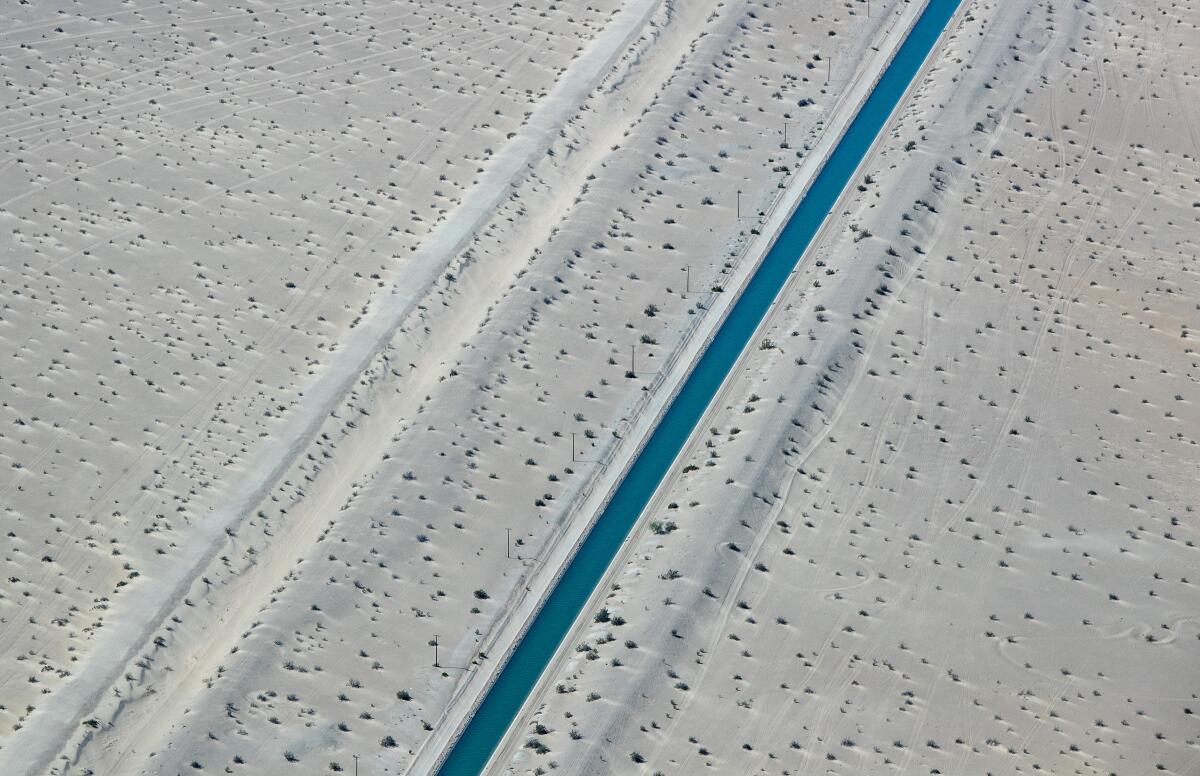
Meanwhile, environmental groups are urging the Interior Department and the Bureau of Reclamation to start putting solar panels atop thousands of miles of canals — including some that connect the Colorado to Southern California and Arizona. A coalition of groups, among them the Center for Biological Diversity and the Mojave Desert Land Trust, said in a letter to the agencies that installing solar systems over canals and aqueducts owned by the federal government could generate clean power for millions of homes while reducing the amount of water lost to evaporation.
They cited the negotiations aimed at cutting water use along the Colorado River, saying that despite this year’s wet winter, “much of the western United States remains in a long-term drought that is likely to worsen as climate change intensifies.”
