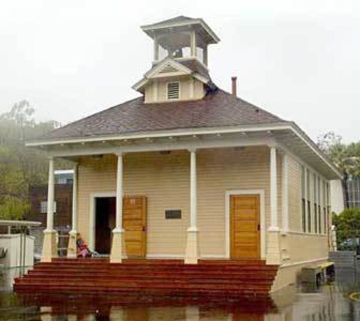
Steps to the beach in Santa Monica Canyon

- Share via
Overgrown foliage, hidden stairways and spectacular ocean views characterize Santa Monica Canyon. Patrick’s Roadhouse, with an oversized green sign at the corner of Entrada Drive and Pacific Coast Highway, marks the main entrance to this community of less than one square mile, which lies between Santa Monica and Pacific Palisades.
The basics
Originally known as the Rancho Boca de Santa Monica, the first adobe houses were built here in the 1800s. Annexed to Los Angeles in 1925, Santa Monica Canyon was subdivided in the 1930s. “Where the Mountains Meet the Sea” read the ads for the lots at the time.
Immortalized by Anglo American author Christopher Isherwood in Harper’s Bazaar magazine in 1952, “the Canyon is our western Greenwich Village, overrun by various types of outsiders, but still remaining an atmosphere of Bohemianism and unpretentious artiness.”
Today, the canyon is an architectural mix of beach cottages, Craftsman-style homes, log cabins and Spanish haciendas, as well as contemporary houses. Most are on small lots. Many are hidden behind foliage and gates.
It includes the neighborhood of Rustic Canyon, home to one of the first private clubs in L.A., the Uplifters Ranch.
Wow factor
The ocean is just steps away. It can be reached by foot from two access tunnels under Pacific Coast Highway from any residence in the canyon.
Drawing card
Residing in the canyon is like living in the country, while being less than 20 miles from downtown L.A. The air smells fresh, people know their neighbors and one can stroll to any of the seven restaurants at the base of the canyon for an early morning coffee or a late dinner.
This is also a great place to work out: Besides providing access to the 22-mile bike path along the beach, there are half a dozen stairways where people from all over come to work out -- even local firefighters.
Insider’s view
Two very active local community groups -- BOCA, named for the original canyon, and the Santa Monica Canyon Civic Assn. -- vigilantly keep tabs on crime, traffic and zoning violations. Both groups have also been successful in beautifying the canyon and working with the city to plant trees, clean up graffiti, install park benches and trash bins and fill potholes on the sidewalks. Major initiatives now are putting speed humps on Mabery Road and rehabbing Rustic Canyon Park.
Good news, bad news
There is the beach, then there is the parking. It is hard to find a spot on the street on weekends and in the summer. Also, the water quality at Will Rogers Beach at the base of the canyon often is rated F by Heal the Bay, which grades beaches weekly on an A to F scale for bacterial pollution levels present in the surf zone. Pollution levels are expected to improve in the spring when the city’s Low Flow Diversion Project is fully operational.
Report card
Due to the number of new families moving into the area there is a lottery for nonresidents to get into Canyon Charter Elementary School, the only school in the canyon. Part of the Los Angeles Unified School District, the school scored 889 on the 2002 Academic Performance Index scale of 1,000. Middle school students attend nearby Paul Revere, high schoolers go to Palisades High School, and many residents send their children to private Westside schools.
Stock report
There are 944 single-family residences. About 200 apartments at the base of the canyon rent from $600 to $1,200.
Historical values
Single-family detached home prices for ZIP Code 90402:
Year...Median Price
1990...$962,500
1995...$680,000
2000...$1,277,500
2001...$1,275,000
2002...$1,505,000
*
Sources: DataQuick Information Services, “Santa Monica Canyon: A Walk Through History” by Betty Lou Young and Randy Young, Los Angeles Unified School District.
More to Read
Sign up for The Wild
We’ll help you find the best places to hike, bike and run, as well as the perfect silent spots for meditation and yoga.
You may occasionally receive promotional content from the Los Angeles Times.


