Scaling the spine of the city

- Share via
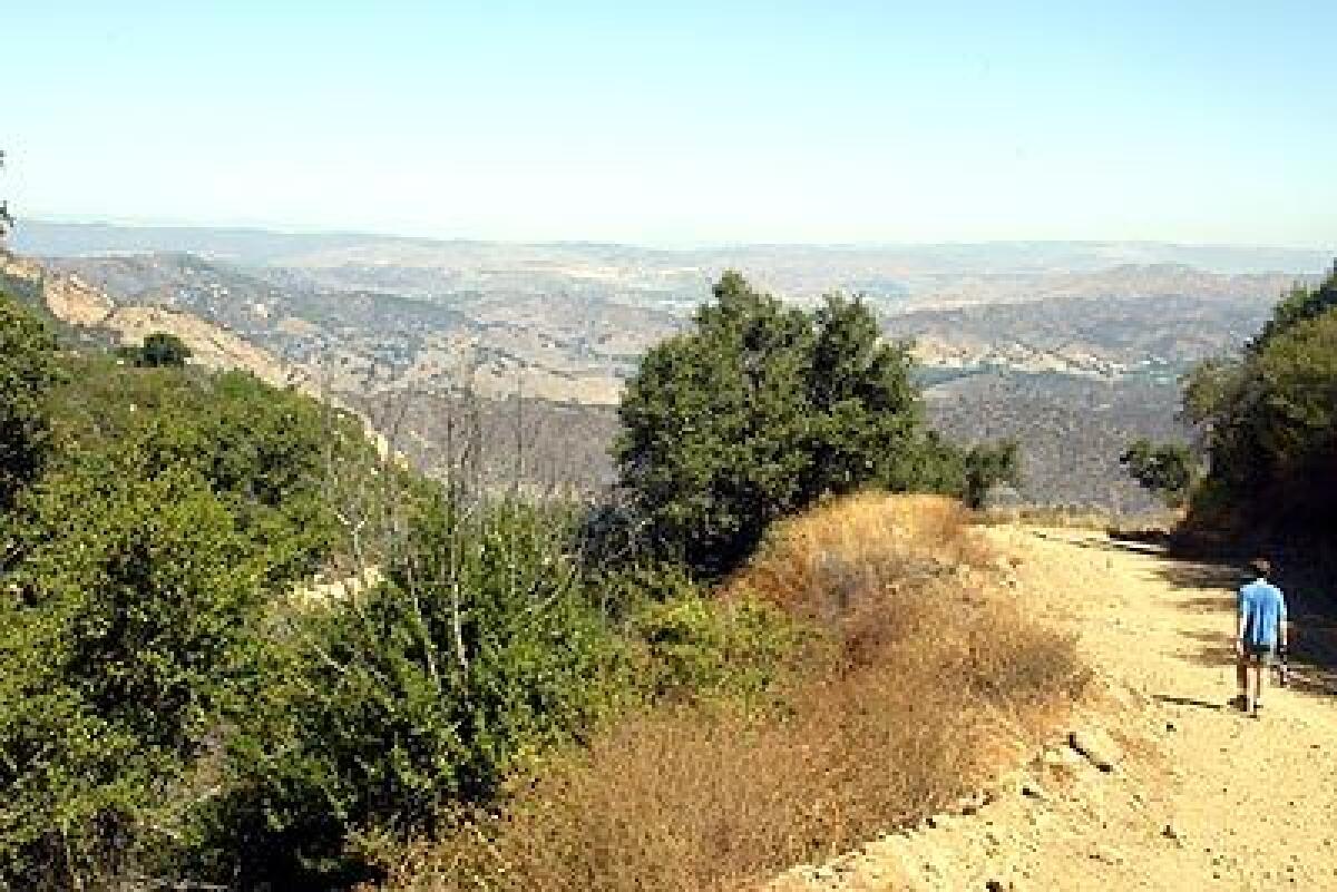
Times photographer Bob Carey horns in on a favorite hike of substitute teacher Bob Girard, 45, as they escape into a slice of the Backbone Trail in the Santa Monica Mountains with spectacular views at every turn.
Since we moved to Agoura Hills, my domestic partner and I have hiked in the Santa Monica Mountains nearly every weekend for the last five years. This leg of the Backbone Trail is our favorite even though it’s fairly strenuous. But the rewards are worth every step.
The trail begins at the entrance to a part of Malibu Canyon that’s kind of steep. What’s great about this hike is that there are spectacular views at every turn. The canyon can take on mini-Grand Canyon-like dimensions, with Malibu Creek winding through the bottom. Eagles can often be seen diving and hovering in the air.
Then there’s Red Rock Canyon to the east. It’s a large boulder-strewn mountainside with rock that seems to change color depending on the time of day.
You are surrounded by oak trees and vegetation that’s more lush than what’s typically found in these mountains.
Even though the Backbone Trail runs the length of the range, I like to turn around at a wide saddle where there’s practically a 360-degree view that takes in the ocean, mountains, Calabasas and Ahmanson Ranch.
The absolute best view is of the ocean, which becomes more prominent the higher you go on the trail.
On a clear day you can see down the coast to Palos Verdes Peninsula and out to the Channel Islands. Every time I come here I feel like I’m on vacation in a great scenic wilderness.
The Particulars
Where: Malibu Creek State Park, about halfway between the 101 Freeway and Pacific Coast Highway on Malibu Canyon Road.
What: Scenic four-mile stretch of trail that starts at about 500 feet and climbs to about 2,000 feet above sea level.
How: From Pacific Coast Highway, go north on Malibu Canyon Road to the first parking lot on the left after the first tunnel. From the San Fernando Valley, take the 101 north to Las Virgenes/Malibu Canyon Road and head south to the first lot on the right beyond Tapia Park.
Back story: Los Angeles is the only city divided in two by a mountain range, the Santa Monica Mountains. The Backbone Trail runs for about 70 miles, from Point Mugu State Park to Will Rogers State Historic Park near Santa Monica. The trail owes its name, in part, to the knobby volcanic ridges that some say resemble projections, or vertebrae, on a spinal column.
More to Read
Sign up for Essential California
The most important California stories and recommendations in your inbox every morning.
You may occasionally receive promotional content from the Los Angeles Times.


