Cold, damaging Santa Ana winds hit 75 mph in L.A. County mountains and topple trees

- Share via
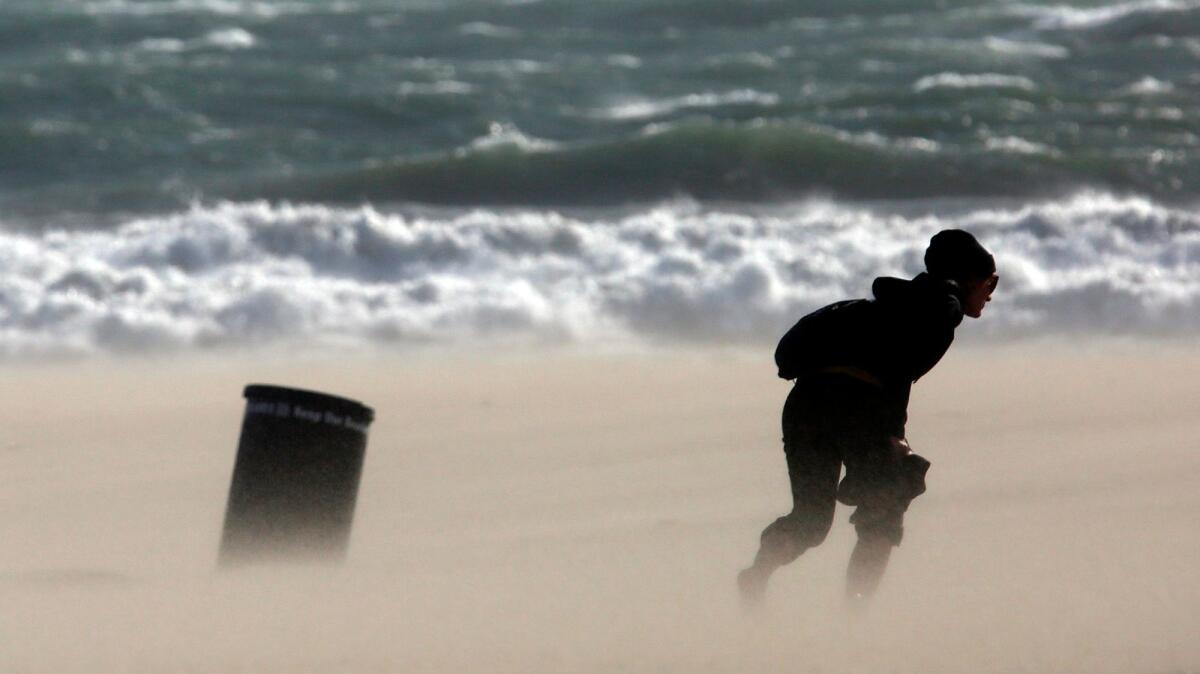
Cold and powerful Santa Ana winds whipped much of the Southland on Friday as gusts topped 75 mph in the San Gabriel mountains and raised a massive cloud of dust that was visible from space. The blustery weather also toppled trees across the region and damaged at least one home.
In Altadena, winds were clocked at 66 mph, while a massive tree was uprooted in La Cañada, falling onto a car and the roof of a home. Powerful winds also caused a tree to collapse onto a car in Santa Ana.
By noon, weather vanes throughout Southern California were measuring winds in areas where powerful gusts aren’t normally experienced.
At Los Angeles International Airport, gusts reached 32 mph, said Ryan Kittel, a meteorologist with the National Weather Service in Oxnard. Gusts reached 23 mph in downtown Los Angeles.
Although strong winds are not unusual for this time of year, this wind event is the result of a rare combination of cold air from Utah moving over the Southwest and a low pressure system from Baja California.
Forecasters warned the gusts were just a preview for a more powerful wind event expected to swoop into Southern California overnight.
Strong Santa Ana winds will continue to howl in L.A. and Ventura counties through Saturday, with gusts expected to reach 80 mph, according to the weather service. Forecasters said the chilly wind event could cause widespread damage and create hazardous driving conditions.
“Avalon Harbor could be affected with choppy seas from the offshore winds making it difficult for boats in the harbor,” weather service meteorologist Curt Kaplan said in a statement.
Forecasters warned the dry air and powerful gusts could raise the risk of fires.
The strong winds and fire threat prompted the Los Angeles County Department of Public Works to close Glendora Mountain Road and Glendora Ridge Road. The roads are expected to reopen by noon Monday.
Winds whipped up dust from this summer’s deadly Sand fire. The dust was visible 22,000 miles above Earth, the weather service said.
A satellite recorded the mass of dust as it crossed from Malibu to Santa Barbara Island.
Temperatures will drop into the 30s across the valleys and coast on Friday night and could be even colder in the mountains, forecasters said.
The strong winds could taper off by Saturday night and bring warmer temperatures Sunday.
For breaking news in California, follow @VeronicaRochaLA on Twitter.
MORE LOCAL NEWS
The 405 Freeway widening just got a lot more expensive
Man identified as killer by dying ex-girlfriend convicted of murder, torture and arson
Amid a surge in San Bernardino crime, one family looks to get out
UPDATES:
2:45 p.m.: This article was updated with details of wind damage in La Cañada and Santa Ana.
12:50 p.m.: This article was updated with details about a satellite recording dust whip across the atmosphere.
10:40 a.m.: This article was updated with road closures because of high winds and fire risks.
This article was originally published at 6:15 a.m.
More to Read
Sign up for Essential California
The most important California stories and recommendations in your inbox every morning.
You may occasionally receive promotional content from the Los Angeles Times.


