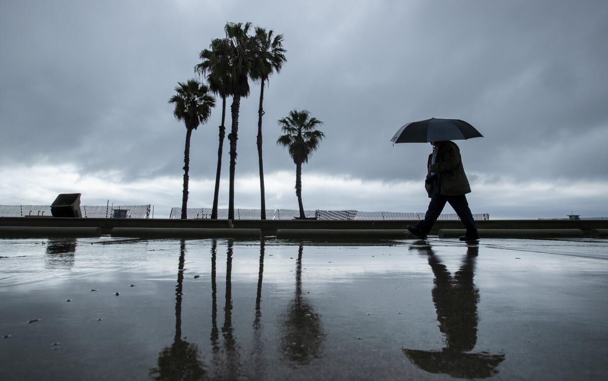
Days of rain on tap for Southern California as storm system returns

- Share via
After a mostly dry start to the year, March is shaping up to be somewhat of a white knight for Southern California’s rainy season.
A slow-moving storm that sprinkled the region with rain for a day earlier in the week barreled back into the area Thursday morning, bringing heavy rain and a slight chance of afternoon thunderstorms.
The system’s final tour through the area is expected to bring up to 2 inches of rain to the coasts and valleys and up to 3 inches in the San Gabriel Mountains. Thunderstorms also could produce brief heavy downpours, hail and waterspouts, said Joe Sirard, a meteorologist with the National Weather Service in Oxnard.
“Any time we have this kind of pattern, there’s a possibility for some urban flooding,” Sirard said. “There’s also a potential for some mud and debris flows in recent burn areas.”
The National Weather Service in San Diego issued a flood advisory for Riverside, San Diego and Orange counties through Thursday afternoon, warning of rainfall rates up to three-tenths of an inch per hour that could cause urban and small stream flooding. The weather service warned that isolated thunderstorms could produce up to half an inch of rain per hour.
The wet weather comes as more people are working from home due to the coronavirus.
Though the storm is expected to clear out Friday, Sirard suggested not stowing the umbrellas yet.
A deep moisture layer lingering over the region could keep things damp through Saturday. Longer range models show another slow-moving storm creeping into Southern California from the north Sunday. That chilly system has the potential to bring several inches of rain and drop snow levels to 4,000 feet, Sirard said.
The rain from that storm could linger through Wednesday, and another is expected to move in next Thursday, Sirard said.
“It’s almost like being in Seattle at this point,” he said.
Forecasters say the series of storms is just in time to help the region rebound from a parched January and February, usually the state’s wettest months.
A total of 0.04 inch of rain fell in downtown Los Angeles last month, placing it in a tie with February 1899 for the 10th-driest February on record. Downtown L.A. also had its fourth-driest combined January and February on record after just 0.36 inch fell during the first two months of 2020.
So far this month, downtown L.A. has received .31 inches of rain. Farther north, in Santa Barbara, precipitation totals have reached .79 inches this month, more than the area saw in January and February combined, weather service data show.
“If the models pan out, one could say this is kind of a March miracle in terms of rainfall,” Sirard said. “It has the potential to vastly exceed what we saw in February. If that happens, it would go a long way to making up for a dry start to the year.”
While weather experts say it’s too early to call it a “miracle March,” the rain has helped bolster lackluster winter rain totals in several areas. However, the recent storms have not been successful in keeping the state out of drought conditions.
A map released by the U.S. Drought Monitor on Thursday shows that 78% of California is considered to be in abnormally dry conditions. More than 48% of the state, including portions of Los Angeles County, is in moderate drought conditions, the map shows.
More to Read
Sign up for Essential California
The most important California stories and recommendations in your inbox every morning.
You may occasionally receive promotional content from the Los Angeles Times.


