Power shut-offs loom for tens of thousands of Californians amid gusty winds

- Share via
More than 34,000 Californians could have their electricity intentionally shut off this week as cold, gusty winds increase the potential for fire danger throughout the state.
Southern California Edison over the weekend began warning about 9,100 customers in Los Angeles, Ventura and Kern counties that their power might be cut by Tuesday afternoon, said Gabriela Ornelas, a spokeswoman for the utility. Most of those customers are near Santa Clarita and Simi Valley.
In Central and Northern California, Pacific Gas and Electric began cutting power Monday, said Deanna Contreras, a utility spokeswoman.
About 25,000 customers in portions of 22 counties — stretching from Santa Barbara County northward to Shasta County — could experience blackouts, she said.
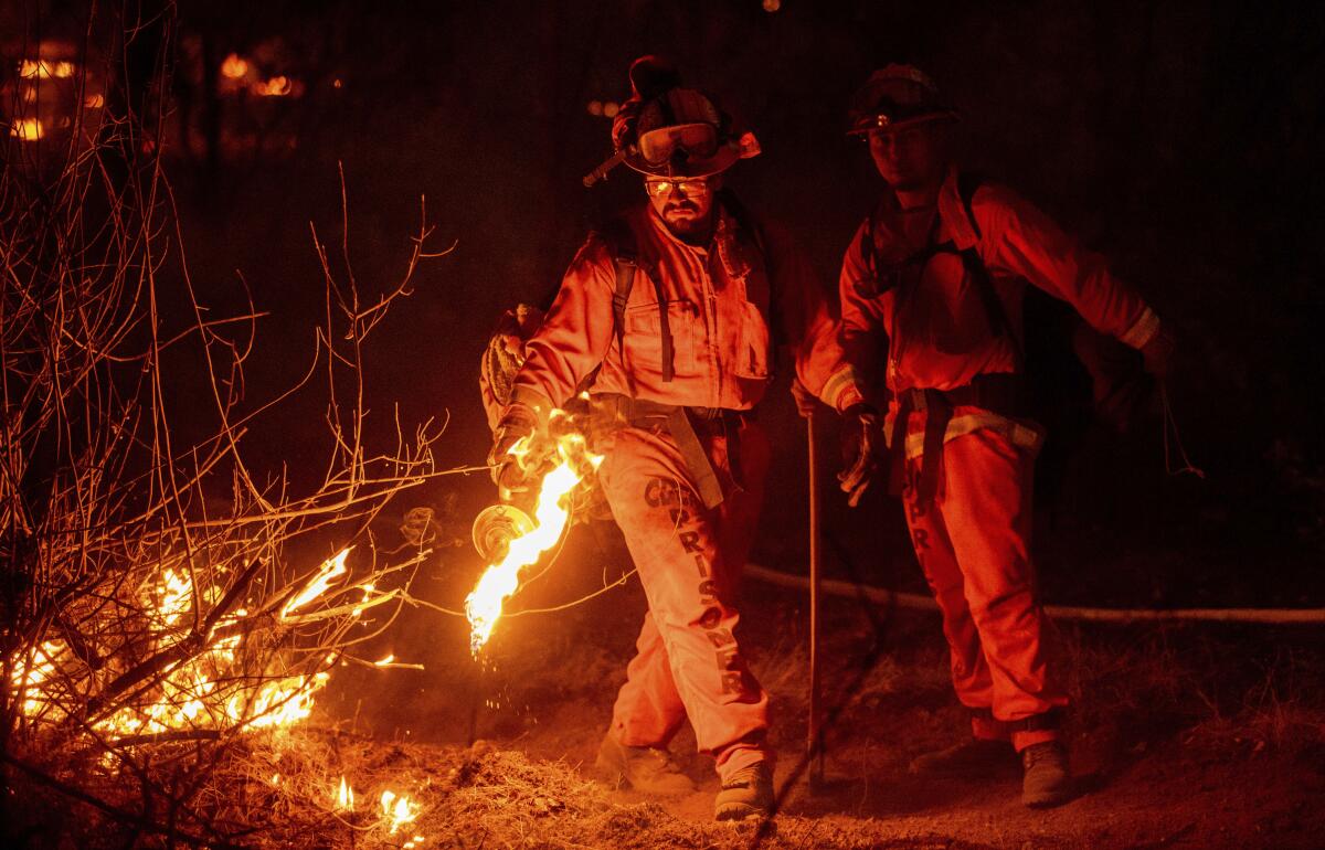
The controversial “public safety power shut-offs” have become common in California in recent years, with the state’s largest utilities de-energizing hundreds of thousands of homes and businesses to prevent disaster as climate change drives record-setting wildfire seasons.
Electric utilities turn off power circuits when forecasts predict strong wind and dry conditions that could cause trees to fall on power lines or damage other electrical equipment, creating a spark.
Contreras said that any electrical lines shut off this week will be inspected by crews on foot or in helicopters to make sure they are safe to reenergize. Power is expected to be restored by Tuesday night in Central and Northern California, she said.
The Tejon Pass rest areas on both sides of Interstate 5 will be closed until Wednesday due to a power outage, California Department of Transportation officials announced.
On Monday morning, PG&E began opening dozens of community resource centers for customers to charge medical equipment and electronic devices, use the internet and seek air conditioning and heating.
In case there was any doubt that fall — and pumpkin spice season, for all the naysayers on social media — is officially here, a dry cold front originating in the Gulf of Alaska is responsible for the autumn drama in the weather outlook this week, forecasters say.
Or, as the National Weather Service in Eureka tweeted, it’s a “classic case of Fire and Ice!” as northerly winds bring the potential for both freezing temperatures and wildfire danger in the drought-plagued Golden State.
In Southern California, the most powerful winds — with gusts over 60 mph — are anticipated in the Los Angeles-area mountains and in the Antelope Valley through early Tuesday, said Rich Thompson, a meteorologist with the National Weather Service in Oxnard.
In the valleys, gusts could reach 25 to 40 mph, and along the coast, they could hit 25 to 30 mph, Thompson said.
Meanwhile, freezing temperatures are possible in the Antelope Valley through Wednesday, he said.
High winds led to dust storms in the area Monday morning, dropping visibility to nearly zero.
Around 10 a.m., the 14 Freeway near Lancaster was closed in both directions between Avenue A and Avenue I, according to the California Highway Patrol. A portion of State Route 138 was also closed.
All lanes of the 14 were later reopened. But the 138 remained closed till Wednesday afternoon from 110th Street to 180th Street, the CHP said.
Drivers were cautioned by the National Weather Service to use headlights and to slow down during dust storms. According to the weather service, high winds and dust are likely to continue through 11 tonight.
Farther north, red flag warnings are in effect through Tuesday for much of the Central Valley, Bay Area, Sacramento Valley and the northernmost parts of the state, according to the weather service.
A freeze watch is in effect for the interior valleys of Humboldt, Trinity and Mendocino counties through Tuesday morning.
“Anything that could ignite a fire should be avoided,” said Jonathan Garner, a meteorologist with the National Weather Service in Eureka. “If a fire gets out of hand, it’ll spread rapidly.”
Garner urged residents to obey burn bans, avoid open flames and protect plants and pets from the cold.
In the Bay Area, higher elevations are expected to be most affected by north and northeast winds of 15 to 30 mph, with gusts of 40 to 50 mph through Tuesday evening, said Anna Schneider, a meteorologist for the National Weather Service in Monterey.
Away from the coast, humidity could drop lower than 10% by Tuesday, further increasing fire danger, Schneider said.
In the Sacramento area, wind gusts up to 55 mph may blow through the valleys.
“We do see these kind of north winds events every fall, but this is an unusually strong one,” said Eric Kurth, a meteorologist for the National Weather Service in Sacramento.
Kurth said motorists should be on high alert early this week if they are driving large vehicles such as big rigs, or if they are driving near such vehicles, control of which can be easily lost during high winds. Drivers should watch for downed trees, power lines and even wind-blown trash cans.
As Kurth drove into work Monday morning, dust blowing from nearby construction sites obscured his view of the road.
“Just use more caution driving,” he said. “Be very aware of anything that could make sparks or start a wildfire.”
More to Read
Sign up for Essential California
The most important California stories and recommendations in your inbox every morning.
You may occasionally receive promotional content from the Los Angeles Times.


