Rainstorms to bring ‘drastic change’ to Southern California

- Share via
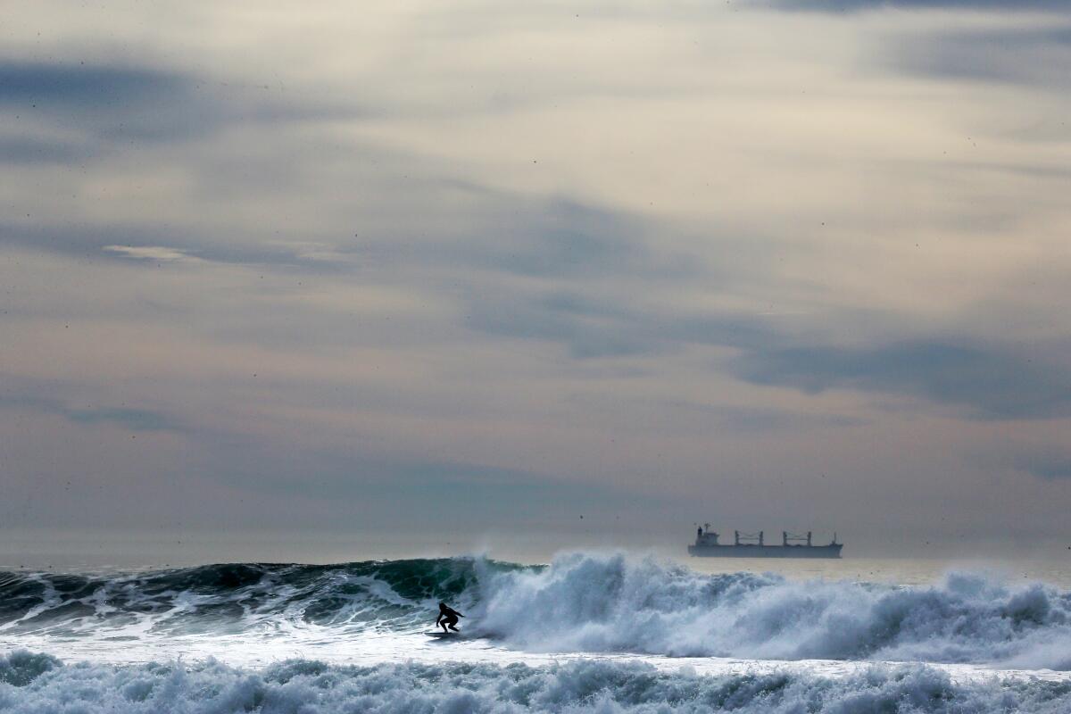
After celebrating a warm and sunny holiday weekend — a jarring juxtaposition with the dangerous snowstorms on the East Coast — Southern California is bracing for heavy rain and a steep drop in temperatures.
The National Weather Service predicts rain paired with gusty winds starting Tuesday and lasting through Wednesday, with as much as 1.5 inches across the Los Angeles area.
Parts of Santa Barbara and San Luis Obispo counties are expected to get the brunt of the storm and could see as much as 3 inches of rain.
Los Angeles residents should expect “drastic changes” Tuesday, according to the latest National Weather Service report, with temperatures projected to plummet at least 20 degrees, dropping into the low 60s.
“This is a good, healthy storm that’s going to produce mostly beneficial rain, which means it shouldn’t cause a whole lot of impacts as far as flooding,” meteorologist Ryan Kittell said Monday. “Though certainly road conditions will not be great for traveling.”
Light rain is also expected Thursday and Friday. Additional heavy rain could come on New Year‘s Eve.
California weather: An atmospheric river is heading to Northern California.
Daniel Swain, a climate scientist at UCLA, wrote in a blog post Monday that he expects heavy rain and strong winds, particularly across Northern California, due to a particularly “robust” atmosphere river, a plume of extremely moist air originating from near the Hawaiian islands and the Western Pacific.
“It’ll be a fairly classic strong winter storm associated with a robust atmospheric river, bringing widespread rain (heavy at times) to lower elevations along with strong and gusty winds, as well as heavy snow across higher elevations,” he wrote. “It will also be a notably warm storm, at least during the period of peak precipitation, with snow level potentially rising to 8,000 feet or higher during the peak of the event before dropping to more typical level after cold frontal passage.”
He added that it appears these conditions could continue for an additional week, with the “next potential for a rather substantial storm is probably on New Year’s Eve.”
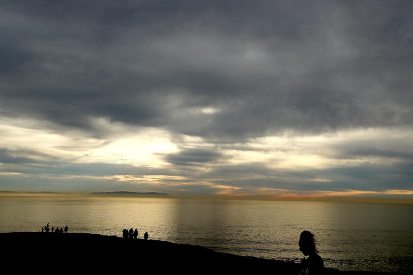
The forecast is a stark change of pace after Los Angeles residents flocked to beaches on Christmas Day to enjoy 80-degree temperatures while the rest of the country seemed to be at the mercy of the “bomb cyclone” that has killed at least 34 people and caused widespread flight cancellations.
More to Read
Sign up for Essential California
The most important California stories and recommendations in your inbox every morning.
You may occasionally receive promotional content from the Los Angeles Times.


