Even more rain? Yes. Here’s how to prepare

- Share via
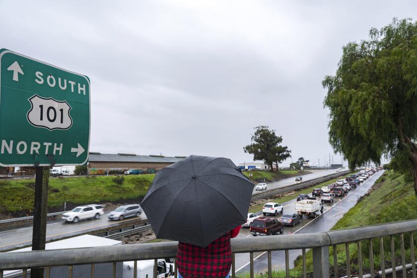
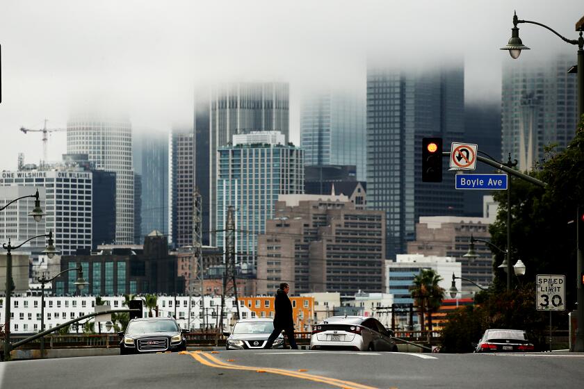
Somewhat unbelievably, Southern California is in for even more rain this week.
After weeks of successive storms, Angelenos can expect another through Thursday morning. For those keeping track at home, this will be our 13th storm of the season.
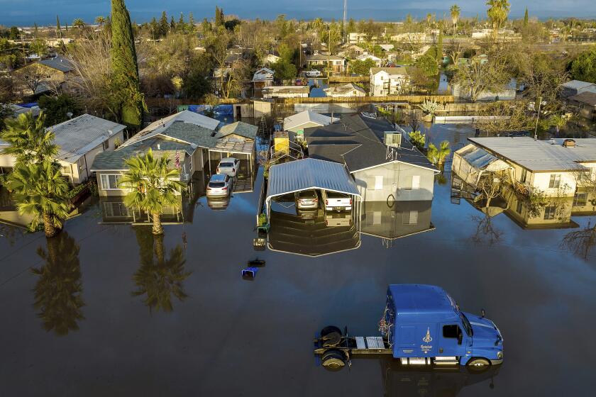
Once again, there’s a risk of power outages, flooding and dangerous road conditions.
Some previous storms gathered warm moisture from closer to the equator. David Sweet, a meteorologist for the National Weather Service, said the 12th storm came from the chilly northwest. That meant more high winds and lower temps all around Southern California and more snow at higher elevations. For this week’s storm — No. 13 is another cold one — snow levels could drop to 3,000 to 4,000 feet.
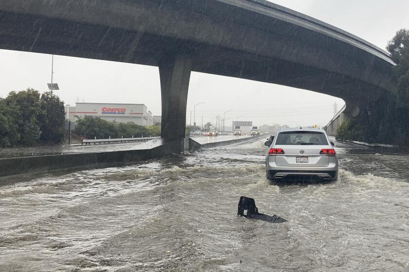
Across the state, thousands of residents are preparing to evacuate or have already evacuated because of flooding and other risks. Officials are asking the public to remain alert and be ready to evacuate if needed.
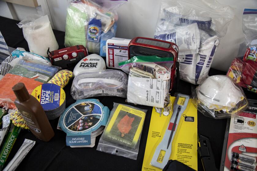
If you haven’t already, this is your chance to sign up for emergency alerts, prepare (or restock) your emergency kit, check the batteries in your flashlights and make a plan to stay warm and dry this week.
- 1
Here’s what you can do to get your family and home ready for the heavy rain that began to slam California on Wednesday, and how to stay safe during and after the storm.
- 2
Be in the loop when disasters — like extreme heat or a hurricane this week, or earthquakes, tsunamis and wildfires at other times — are headed California’s way.
- 3
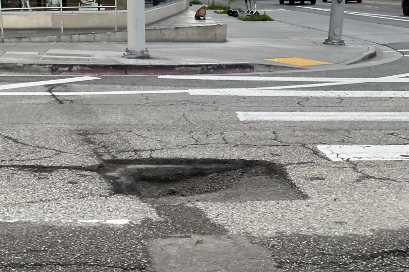
Rain breeds potholes in aging roads around Southern California. You can file a claim for damage your car incurs, but reimbursement is not guaranteed.
- 4
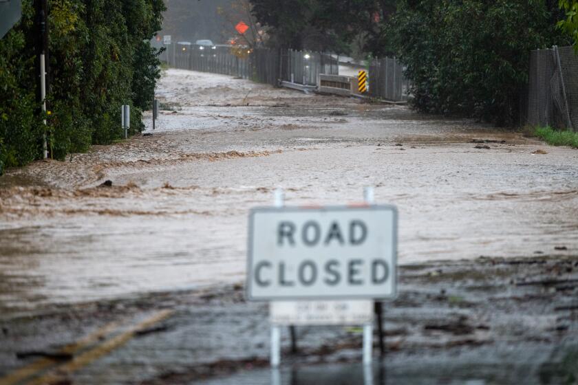
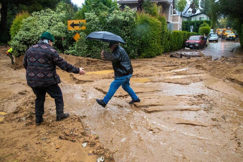
Headlights on. Foot off the gas pedal. And if you see a flooded street, turn around. Here are tips for driving safely as California gets drenched.
- 5

Instead of turning on your heater, and paying a higher gas bill, consider layering up or sealing the gaps in your door that are letting heat escape.
- 6
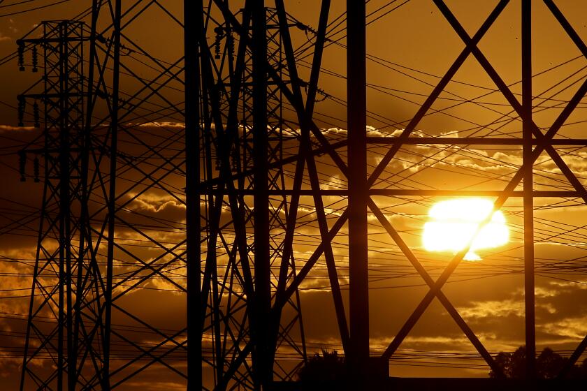
Intense rain and wind are expected to cause power outages around California. Here’s how to prepare for a blackout, and what to do while you don’t have power.
- 7

Are you in a flood zone? Here’s how to find out and some other safety tips.
- 8
When an evacuation order reaches you, you need to leave. Now. Here’s how to prepare and what to have ready to go if you may need to evacuate during the rainstorms hitting California.
- 9
Whether you have limited mobility, vision or hearing impairments, or other disabilities, you’ll need to customize your emergency plans and preparation.
- 10

Whether you’re a seasoned snow hiker or planning your first trek, bear in mind that even a short trip in the snow can be grueling. So plan ahead, have the right gear and check the weather.
- 11
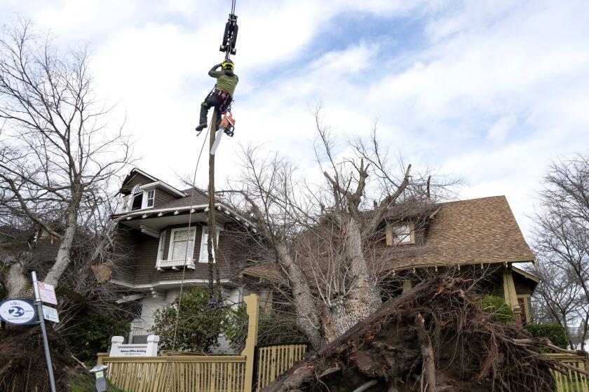
The storms hitting California threaten to blow a tree limb into your home or car. Who pays for the damage will depend on where the tree was located, what condition it was in and what kind of insurance you have.
- 12
Renters across Southern California are facing flood damage caused by the recent series of storms. Here’s how they can protect themselves and their personal property.
- 13
L.A. County property owners who suffer more than $10,000 in losses may qualify for a property tax reassessment. They may also get a break on penalties for missing the April deadline for paying their property tax bill.
- 14
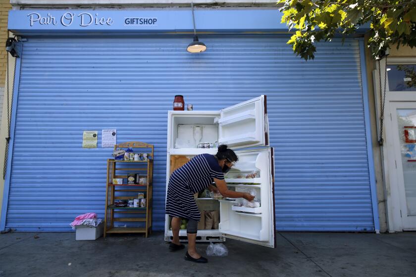
When the power goes out, the clock starts ticking on the food in your fridge and freezer. But you shouldn’t cry over spoiled milk. See if you can be reimbursed instead.


