Hurricane Hilary? Tropical Storm Hilary? Decoding storm classifications

- Share via
Hurricanes may be old hat in Florida, but they’re not a disaster that nature often inflicts on Southern California. The last one to damage the region was in 1858, when a tropical cyclone with 75 mph winds nearly made landfall. in San Diego.
Tropical storms — a weaker version of a hurricane — have been rare visitors, too. Tropical Storm Nora drenched the state’s southestern border region in 1997, but there’s some debate over whether it had already weakened into a tropical depression by the time it had arrived. Before that, the last time a full-blown tropical storm made landfall in California was in 1939.
So as Hurricane Hilary approaches, here are some basics about hurricanes and tropical storms for the uninitiated among us.
How storms become hurricanes
There are several factors that contribute to the formation of a hurricane, but the National Oceanic and Atmospheric Administration cites four main ingredients:
A preexisting weather disturbance. A hurricane often starts out as a tropical wave.
Warm water. The temperature of the top 50 meters of water needs to be at least 80 degrees.
Thunderstorm activity. Thunderstorms turn ocean heat into hurricane fuel.
Consistent wind speed and direction. Winds blowing at an angle around or near the storm — a “wind shear” — can weaken it.
The formation of a hurricane starts with a cluster of thunderstorms moving across the surface of the ocean. The cluster sucks up heat energy from the water, adding moisture to the air; if wind conditions are right, the storm becomes a hurricane.
The energy from warm water makes the hurricane stronger, so while the hurricane is over warm ocean it will continue to grow. When it travels over land it loses steam. Storms also weaken when they move over areas with cooler ocean temperatures, according to the University Corporation for Atmospheric Research’s Center for Science Education.
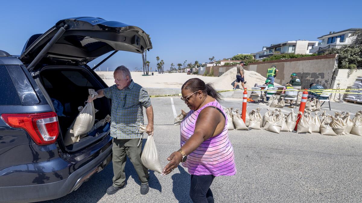
Hurricane Hilary is likely to make landfall in Los Angeles as a tropical storm, bringing heavy rains and potential flooding. Here’s what you can do now to prepare, and how to stay safe when the storm arrives.
How are storms ranked as hurricanes?
How hurricanes are classified is determined by their wind speed.
Tropical cyclones with maximum sustained winds of 39 mph or higher are called tropical storms. If the wind speed reaches 74 mph or higher, they are called hurricanes, according to NOAA.
As a storm grows it goes through a series of stages, UCAR says. It starts as a tropical disturbance, but throw in cyclonic circulation — that is, counterclockwise motion in the northern hemisphere, clockwise in the southern hemisphere — and faster wind speeds, and you have a tropical depression. If the wind keeps getting faster, it can move up to tropical storm or hurricane classifications.
You might have read that Hurricane Hilary is a Category 4 hurricane now but is expected to weaken when it makes landfall in California this weekend. The category number comes from The Saffir-Simpson Hurricane Wind Scale, which runs from 1 (least strong) to 5 (strongest). The rating is based on the hurricane’s maximum sustained wind speed, according to the National Hurricane Center.
Tropical Storm Hilary threatens heavy rains, flash flooding, high winds and intense surf across Southern California this weekend. Here’s what to expect.
Here’s what the categories mean in terms of the potential danger on land:
- Category 1, 74 to 95 mph winds — Very dangerous winds that will damage some roofs, topple trees and damage power lines.
- Category 2, 96 to 110 mph winds — Extremely dangerous winds that will cause major roof damage or even slide homes off of their foundations. Trees can be uprooted. Residents can experience near-total power loss.
- Category 3, 111 to 129 mph — Devastating storms that will cause major damage to homes, snap or uproot trees and knock out utilities for several days after the storm passes.
- Category 4, 130 to 156 mph — Catastrophic storms that will cause severe damage to homes (both roof and structure), trees and power poles. Power outages will last weeks to possibly months, and most of the area will be uninhabitable for that period.
- Category 5, 157 mph or higher — Catastrophic storms that will destroy homes, fell trees and down utility poles, isolating residential areas. Prolonged power outages will occur, and the area will be uninhabitable for weeks or months.
Times staff writer Jon Healey contributed to this report.
About The Times Utility Journalism Team
This article is from The Times’ Utility Journalism Team. Our mission is to be essential to the lives of Southern Californians by publishing information that solves problems, answers questions and helps with decision making. We serve audiences in and around Los Angeles — including current Times subscribers and diverse communities that haven’t historically had their needs met by our coverage.
How can we be useful to you and your community? Email utility (at) latimes.com or one of our journalists: Jon Healey, Ada Tseng, Jessica Roy and Karen Garcia.
More to Read
Sign up for Essential California
The most important California stories and recommendations in your inbox every morning.
You may occasionally receive promotional content from the Los Angeles Times.


