December in California kicks off with 80-degree heat for L.A., rain for the Bay Area

- Share via
Southern California isn’t going to see much wintry weather this first week of December, with forecasts predicting unseasonably high temperatures.
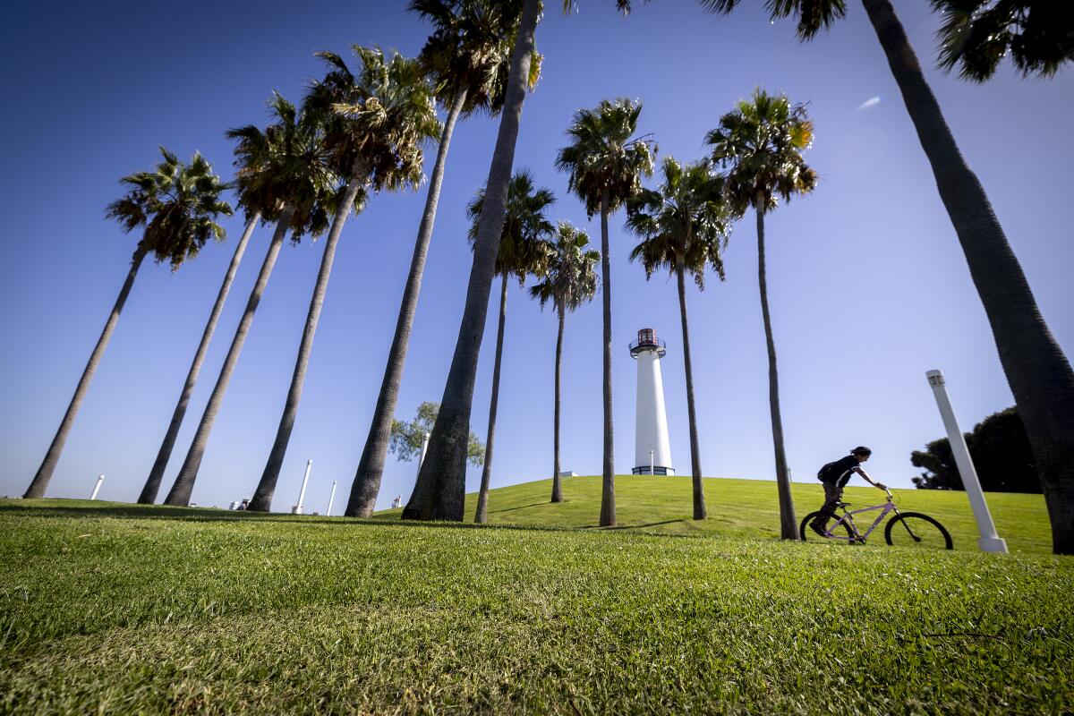
A high pressure system and weak offshore winds will bring warm weather — in some areas breaking 80 degrees — to the Southland early this week, said David Sweet, a National Weather Service meteorologist in Oxnard.
“Those offshore winds, plus the area of high pressure, are going to push temperatures 10 to 15 degrees above normal,” Sweet said.
Tuesday is expected to be the week’s warmest day, with highs reaching into the high 70s and low 80s, Sweet said. Downtown Los Angeles is forecast to reach 81 degrees, Los Angeles International Airport is expected to peak at 79, Woodland Hills at 83 and Long Beach at 80.
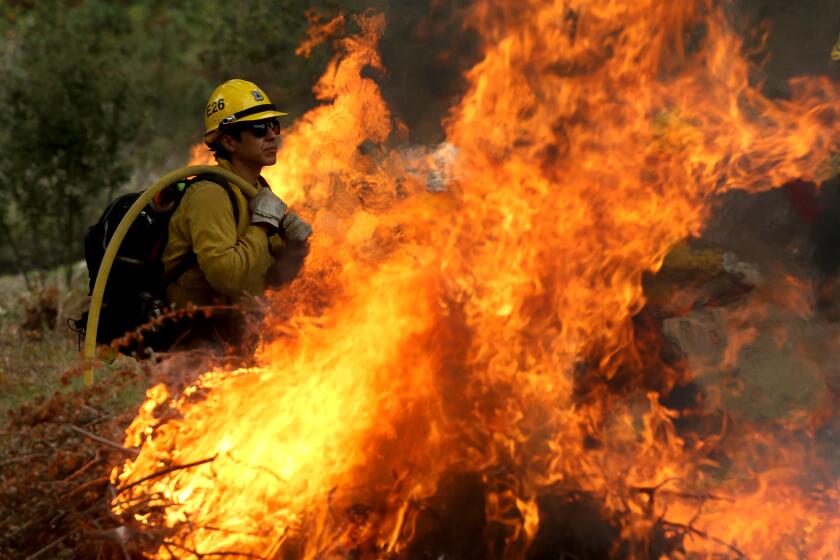
This year’s rains kept fire conditions to a minimum, but also spurred new vegetation that could burn in 2024.
In the San Bernardino Mountains, the warm spell will make it harder for some recently opened ski resorts to expand their open slopes. But the weather shift is not yet interrupting the Big Bear Mountain Resort ski area’s plans, though teams continue to monitor the weather, said Justin Kanton, a spokesperson for the resort. Kanton said especially important are nighttime temperatures, which have to stay low enough for the resort’s snowmakers to blow fresh snow.
“Seasons like this, starts like this, are not out of the ordinary for us,” Kanton said. He called last year exceptional for both its start and the epic snowfall, which extended skiing well into the summer, but this warm stretch isn’t causing any bigger concerns.
Big Bear Lake will see highs around 60 degrees on Tuesday and Wednesday, but Kanton said things should be cooling down by Thursday. Snow Summit remains open daily with limited lifts and runs, while Bear Mountain is only open for an extended weekend, so Kanton didn’t expect the midweek warmth to create significant issues.
“As of now, what we have open will remain open, and then we’ll look to expand” when conditions make it possible, Kanton said.
In the Central Valley, the warming trend is forecast through Wednesday, when afternoon temperatures could set records, according to the National Weather Service.
Fresno could reach 71, which would beat its prior daily record by one degree, while Hanford’s forecast high of 72 would be two degrees higher than its daily record. The Central Valley will see cooling begin Thursday.
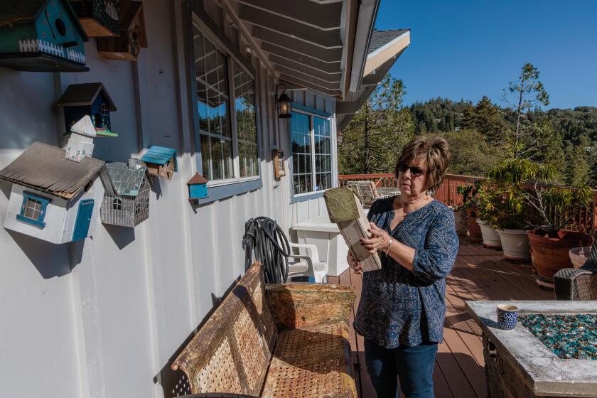
Months after storms buried communities in the San Bernardino Mountains, recovery is ongoing. But with a new winter approaching, worry is spreading about a strong El Niño.
By Wednesday, Los Angeles will begin to feel some slight cooling through the rest of the week as a new system moves down the coast.
That system will bring some rainfall to the Bay Area as early as Tuesday night, with light rains expected on and off through Friday. Meteorologists expected the rain to be mostly beneficial, with little chance for flooding.
The precipitation won’t move much farther south, forecasters said, though temperatures will drop. About a week ago, the atmospheric river storms fueling the wet weather had been projected to hit California, but they shifted north, taking aim more squarely at the Pacific Northwest, UCLA climate scientist Daniel Swain said in a social media post.
California hasn’t yet seen particularly notable rainfall this fall and early winter season, despite repeated concerns about the strong El Niño weather pattern, which typically brings heavier precipitation during the winter. Multiple storm systems, some also atmospheric rivers, have threatened the coast in Southern California, but much of the strength dissipated or weakened, producing only minor rainfall so far.
The first winter outlook from the National Oceanic and Atmospheric Administration predicts that a strong El Niño will remain in place through at least the spring, bringing warm, wet conditions to California and large swaths of the U.S.
But Swain said that’s not yet surprising to him, with still much confidence in a wetter-than-average winter yet to come. He said the Pacific Northwest tends to see a rainier autumn — which includes early December — compared to Central and Southern California, which is playing out this week as a “prolonged atmospheric river event.” Potentially damaging rains are forecast there this week, according to the National Weather Climate Prediction Center.
Swain expects those rain patterns to move south by the end of the month.
“From late December through about March, I would expect the odds to be tilted greatly favoring wetter-than-average conditions, at least in Central and Southern California,” Swain said in a virtual analysis posted late last week.
The latest precipitation forecasts from the Climate Prediction Center still show that December is expected to be wetter than average for Central and Southern California.
More to Read
Sign up for Essential California
The most important California stories and recommendations in your inbox every morning.
You may occasionally receive promotional content from the Los Angeles Times.


