Second storm set to arrive in California, spurring flood, snow advisories

- Share via
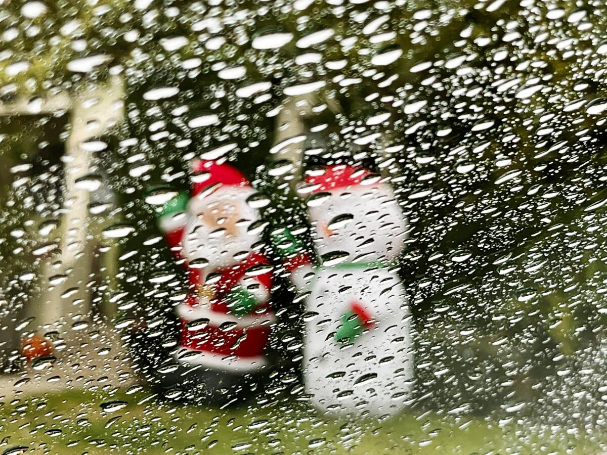
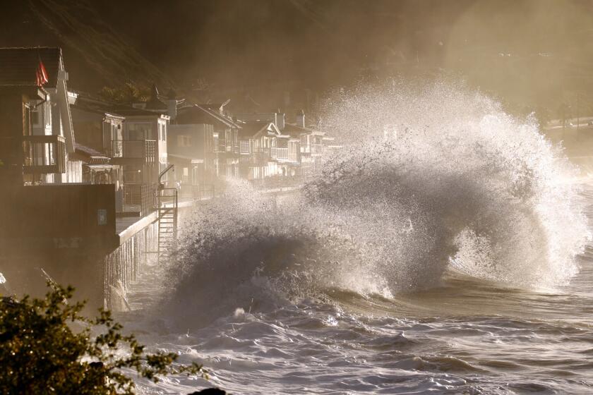
The second of two storm systems is expected to arrive Tuesday evening and linger for a few days, bringing significant rain, possible flooding and some snowfall to California, according to the National Weather Service.
Rainfall will peak in Los Angeles County on Wednesday or Thursday and last through Friday, with coasts and valleys receiving 2 to 4 inches of precipitation and 4 to 8 inches in foothill and mountain areas of Southern California, according to forecasts.
With periods of moderate to heavy rain expected with the storm, a flood watch will be in effect from late Tuesday through late Thursday in Los Angeles, Ventura, Santa Barbara and San Luis Obispo counties, the weather service said Monday night.
UCLA climate scientist Daniel Swain called the two storm systems atypically warm for this time of year on his Weather West YouTube channel.
“These are not unusually cold storms, but in fact, unusually warm storms,” Swain said. The incoming storm’s trajectory will put it over the Central Coast and northern portions of the urban centers in Southern California, including Santa Barbara, Ventura and Los Angeles counties. The San Francisco Bay Area will also see persistent rain, as this incoming storm is slow-moving and expected to linger through Friday, Swain said.
“This will be a pretty El Niño-flavored storm,” Swain said. “I don’t usually like to talk about El Niño in terms of individual storm systems, but in this context, I think it’s appropriate because this is a warm, wet system that is at least indirectly being caused by a very strong zonal extension of the jet stream across the entire North Pacific.”
According to the National Weather Service in Los Angeles, there will be significant flood risk for most of the Southern California region, especially in areas with previous burn scars.
NOAA has warned of a ‘historically strong’ El Niño through January, but so far, California’s wet season has been notably dry.
Meanwhile, a winter storm warning has been issued in Central California for parts of Tulare County and surrounding areas over 8,000 feet in elevation.
Antoinette Serrato, a meteorologist with the National Weather Service’s office in Hanford, said 1 to 2 feet of snowfall was forecast during the storm, and visibility was expected to be hindered as winds could reach 45 mph.
“If you are in those elevations above 8,000 feet, keep an extra flashlight, food and water in your vehicle in case of an emergency,” Serrato said. “If you don’t have to travel during the storm, stay home.”
Roads across Southern California will be slick for the next few days, and drivers should give themselves a little more time when they’re traveling — and more space to the driver in front of them, said meteorologist David Sweet with the National Weather Service in Oxnard.
“Allow more time to reach your destination,” Sweet said. “We always tend to see an increase in the rate of accidents during this time of the season.”
The first storm, which began Sunday night, brought light rainfall within Southern California, mostly farther up the coast from Los Angeles County, before winding down Monday night.
As of Tuesday morning, the hardest-hit areas were in San Luis Obispo County, which saw a little over 6 inches of rain near the 3,400-feet-elevation mark over a two-day period. Los Angeles metro areas saw less than an inch of rain downtown, while La Cañada Flintridge received 0.20 inch of rain during that period. Opids Camp in the Angeles National Forest welcomed a little over half an inch of rain, and in Ventura County mountains, the Nordhoff Ridge weather station recorded 0.71 inch of rain, according to the latest updates from the National Weather Service.
“The first storm is a weaker system,” Sweet said. “We’re keeping an eye on the next system. We’re expecting that one to be more severe and wetter.”
Light to moderate showers will continue throughout Tuesday as the first storm passes and the next one arrives overnight, according to forecasts for Southern California.
More to Read
Sign up for Essential California
The most important California stories and recommendations in your inbox every morning.
You may occasionally receive promotional content from the Los Angeles Times.


