Thunderstorms sweep across SoCal, with lightning bringing risk of fire starts

- Share via
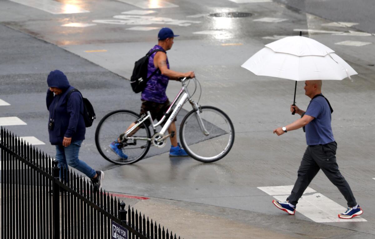
An unseasonable series of thunderstorms was sweeping across Southern California on Tuesday, bringing with them the potential for fire-starting lightning strikes in areas with limited rainfall.
In the Los Angeles area, storms gathered around the San Gabriel Mountains in the morning before descending into urban areas and traveling southwest across the region and along the coast, according to National Weather Service meteorologist Ryan Kittell. Every part of L.A. was within earshot of thunder on Tuesday, he said.
The storms brought significant thunder and lightning but generally were accompanied by light rainfall, a tenth of an inch or less.
“It is kind of a dry lightning setup where you get the lightning that could start a fire but not the rain that would put it out,” he said. “Thankfully so far we haven’t seen any reports of any fire. We hope it stays that way.”
To the north, in Inyo County, two vegetation fires were ignited by multiple lightning strikes near Big Pine, according to the San Bernardino unit of the California Department of Forestry and Fire Protection. By 10 p.m., the fires, respectively, were at 2 acres and 15% containment, and 30 acres with 5% containment. Crews were set to remain on scene through the evening to strengthen containment lines.
In addition to posing the risk of igniting a wildfire, lightning also poses a danger to human and animal health.
“Almost 100 people are killed every year from being struck by lightning in this country,” Kittell said. “Definitely heed nature’s warning call when you hear that thunder and find shelter.”
Fortunately, the lighter rainfall levels decreased the risk of a debris flow taking place in the Eaton and Palisades fire burn scars, a possibility forecasters warned of Monday.

But the storm system was bringing heavier rains farther inland, and the weather service issued a flash flood warning for San Bernardino County, where some areas had collected up three-quarters of an inch of rain by 4:30 p.m. Twentynine Palms was hit especially hard; flooding rendered several roads impassable, according to a statement from the city.
The heaviest rainfall in the Los Angeles region was in higher mountain regions, with Mt. Baldy recording 0.31 of an inch of rain by 4:30 p.m., Kittell said.
Tuesday’s storms are a rare occurrence as the Southland typically sees the bulk of its thunderstorms in August and September.
“It’s really an unusual low-pressure system pulling in this moist, tropical air from Mexico,” Kittell said. “We just don’t see that kind of system move through our area this time of the year.”
The storms were forecast to continue rolling through Southern California on Tuesday evening before gradually exiting the region about 10 p.m., Kittell said.
Wednesday will also see high humidity and the chance of scattered showers. More typical June weather is forecast to return Thursday, with a marine layer hovering over the coast and moderate temperatures across Los Angeles County.
More to Read
Sign up for Essential California
The most important California stories and recommendations in your inbox every morning.
You may occasionally receive promotional content from the Los Angeles Times.


