How to find the oddest birds in L.A.
- Share via
Get The Wild newsletter.
The essential weekly guide to enjoying the outdoors in Southern California. Insider tips on the best of our beaches, trails, parks, deserts, forests and mountains.
You may occasionally receive promotional content from the Los Angeles Times.
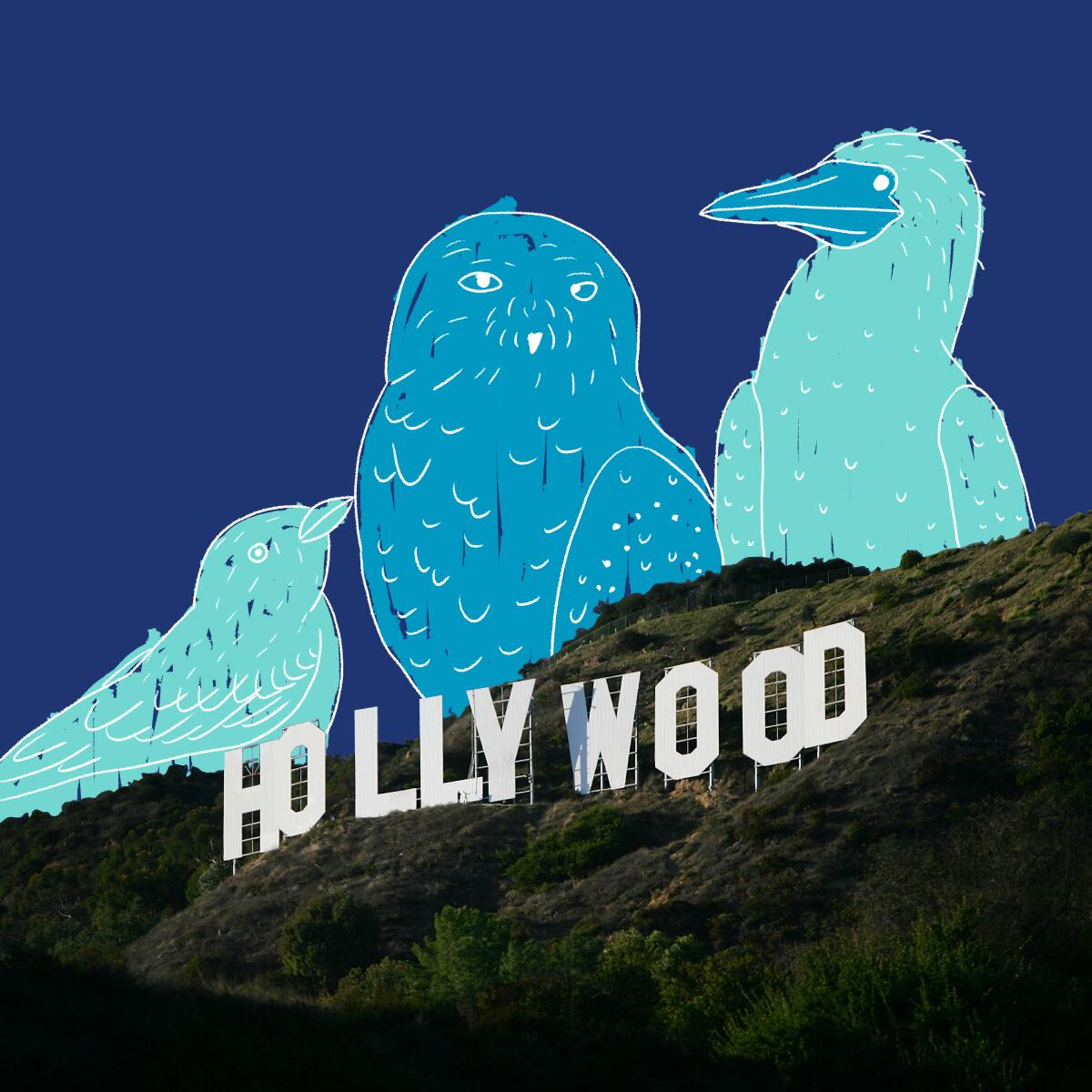
But for the pandemic, I would be flying to New York City to see a snowy owl standing in a Central Park meadow. It’s the first time the Arctic tundra dweller has been seen in the park in130 years. “Wow! A magnificent snowy owl is in NYC! 🦉,” @Centralparknyc posted on IG.
The rare sighting took me back to 2013, when I persuaded my husband to ditch his birthday dinner in favor of careening over to Marina del Rey to see blue-footed boobies that had appeared offshore. We got there just before sunset. Avid birders had set up scopes and invited us to take a look. It was beyond thrilling to see these visitors from Ecuador’s Galápagos Islands.
How did I know the boobies had arrived? I regularly scroll the Rare Bird Alert for L.A. County, an app that tracks out-of-place birds the way Hollywood tracks red-carpet arrivals. Each entry gives details on where to find the bird and how many times it has been seen. Last week, a scissor-tailed flycatcher, native to the southern Great Plains and south Texas, appeared at the Westside’s Ballona Wetlands — more than once. A tropical kingbird, usually found between southern Arizona and Central America, turned up at Torrance’s Entradero Park. Download the eBird app here.
You could spend an entire day chasing Southern California’s exotic visitors. Some people spend a whole year. Mark Obmascik wrote “The Big Year” in 2008 about what it was like to fly around the world to find as many species as possible in 12 months. We shouldn’t travel right now, but maybe we should take time to seek these birds and discover what they like about L.A.
3 things to do this week
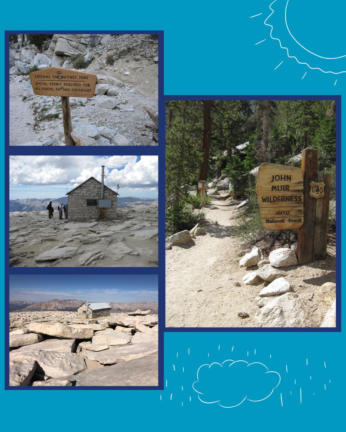
1. Enter the lottery for a permit to hike Mt. Whitney. The highest peak in the lower 48 states is a popular goal for hikers who want to challenge themselves. Mt. Whitney is a bona fide fourteener — elevation measurements vary from 14,495 to 14,505 above sea level — and it’s a nontechnical hike, which means you don’t need special skills to get to the top. You do need physical conditioning, stamina and a U.S. Forest Service permit.
That last item is tricky. Last year, of 16,842 lottery applicants, 34% were awarded a date of their choice, according to the Mt. Whitney website. Also last year, coronavirus restrictions and nearby wildfires temporarily closed the trail and camping at the base.
The 2021 lottery for the Mt. Whitney Trail opened Monday and will continue until March 15. You submit dates you want to hike and note whether you want a day or overnight permit.
A day hike commits you to doing 22 miles round trip, with 6,000 feet of gain at high elevation. Careful: You may submit only one application; those who submit duplicates are tossed out. The lottery applies to dates in the trail’s quota season from May 1 to Nov. 1. Winners are notified March 24 and have until April 30 to accept and pay ($15 per permit). On April 1 and May 1, remaining dates that haven’t been selected are posted online and available. Here are instructions on how to enter the Mt. Whitney lottery. Good luck.

2. Snap photos of plants and wildlife during a bioblitz at Earvin “Magic” Johnson Park. A bioblitz is an event at which you and others try to identify as many species as you can in a short amount of time. It’s a way to engage the community in collecting scientific data about a particular habitat. In this case, it’s Magic Johnson Park, a 120-acre site in Willowbrook that recently underwent a $70-million renovation.
Here’s how to participate: Download the app iNaturalist to your phone or tablet. The app will help you identify what you’re seeing. Then snap a photo and upload it to the site — adding to the plant and wildlife finds. The bioblitz is on now through March 31 — and you can check back to see how many species have been found. Here’s how to get started. Happy snapping!
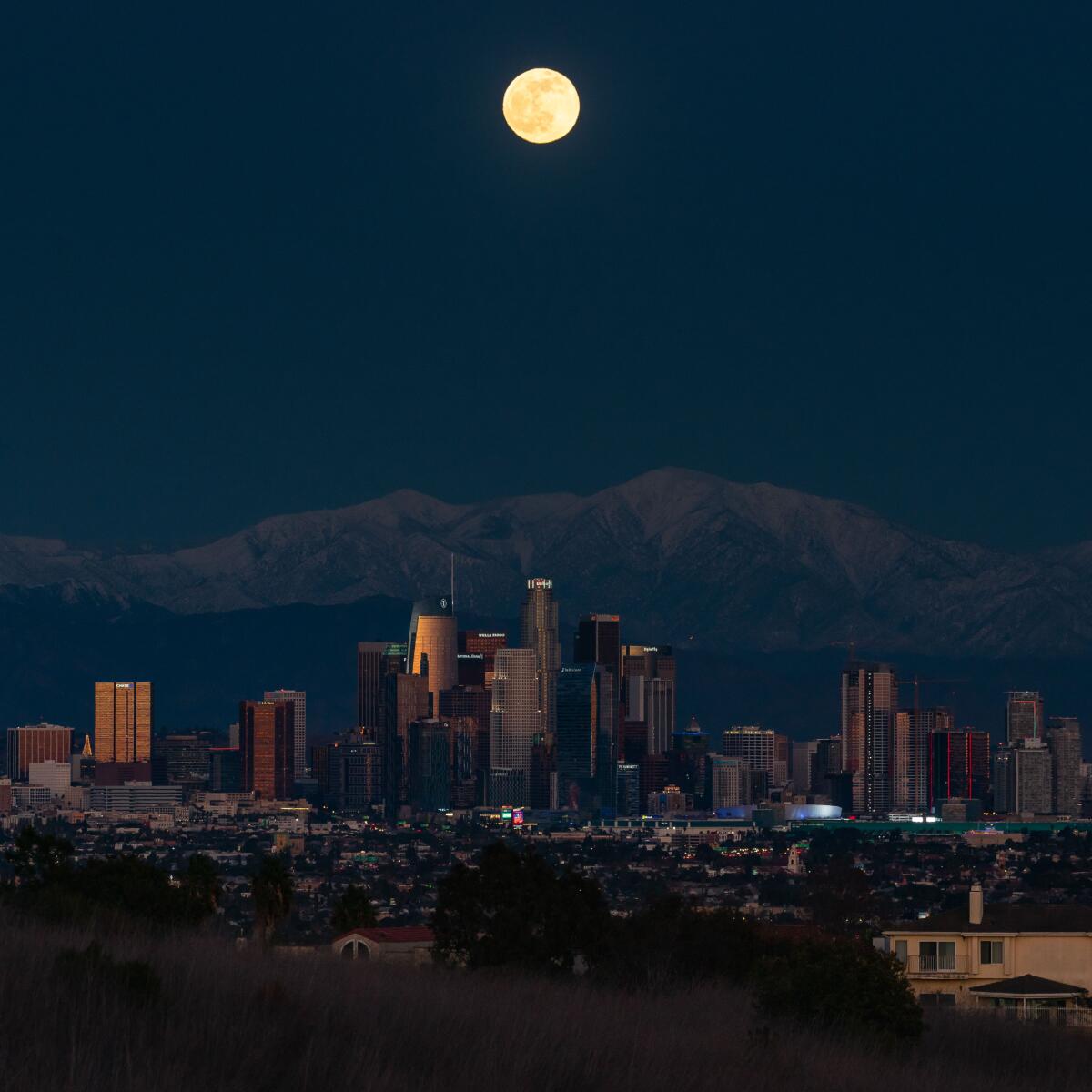
3. Take a trip to the moon with the California Academy of Sciences. With the Lunar New Year coming up Feb. 12, the San Francisco science museum is hosting an evening with experts that covers a wide range of topics. Rebecca Albright, curator of invertebrate zoology, will talk about how corals reproduce on lunar cycles. Food blogger Kristina Cho will show you how to make dumplings. M. Josh Roberts will display examples of face-finding on the surface of the moon (yep, it sometimes looks as if someone is looking back at you).”Ode to the Moon” is for adults and starts at 7 p.m. Feb. 11. It’s free to watch on YouTube or Facebook; see the details.
The must-read
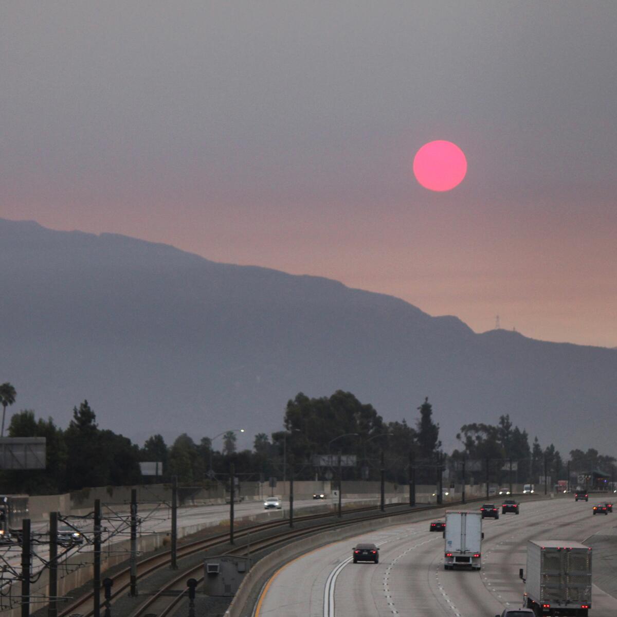
Many of us downloaded air-quality maps onto our phones this summer as wildfire smoke blanketed much of Southern California and other parts of the state. But what’s the most unhealthful stuff in the smoke? We’re not entirely sure, and what we don’t know could hurt us.
“Those dark, billowing plumes of smoke that rise on waves of heat during the day and sink into valleys as the night air cools may be transporting countless living microbes that can seep into our lungs or cling to our skin and clothing, according to research published recently in Science,” Times staffer Joseph Serna reports. “In some cases, researchers fear that airborne pathogens could sicken firefighters or downwind residents.”
That’s not-good news as California is predicted to experience more and more wildfires. And figuring out what role the “mind-bending” number of microbes inhaled from smoke plays in our general health seems an important place to begin. Read the full story.
The red flag
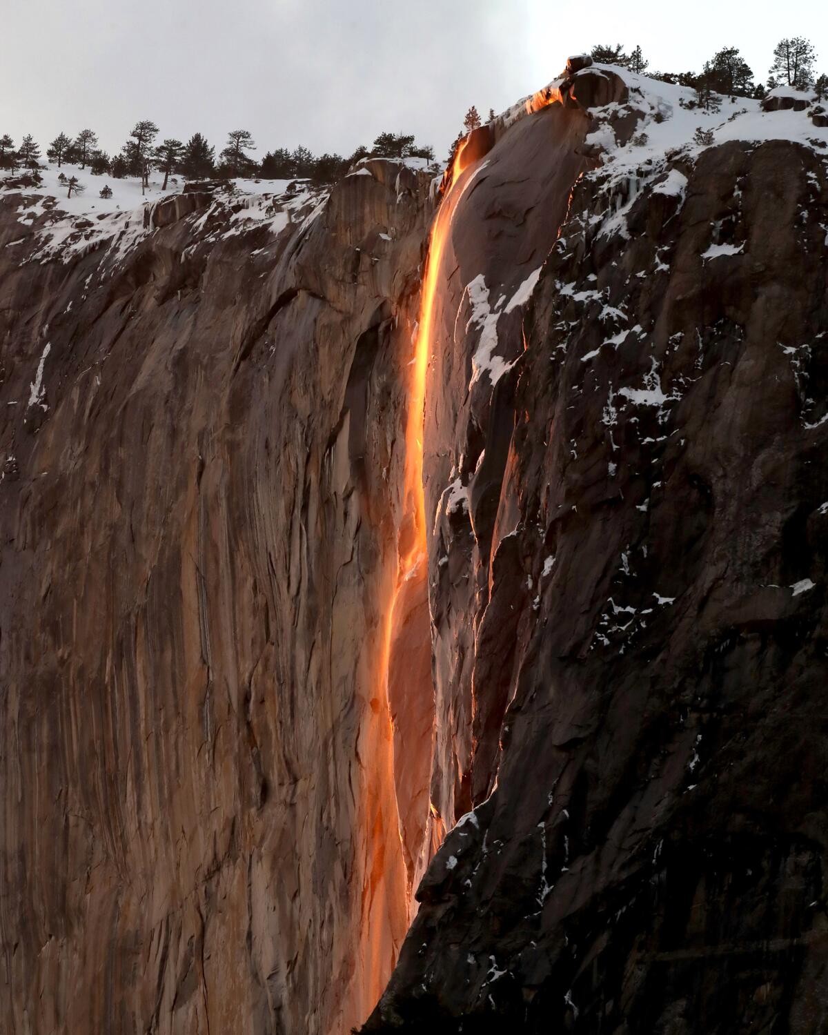
Before you plan that trip to Yosemite National Park, read this. And before I say anything else, I want to remind Southern Californians that we’re all asked to stay within 120 miles of home.
The park is again requiring day-use reservations for most of February to reduce the number of people who visit during the COVID-19 pandemic. That means you must plan ahead, particularly for popular times such as Presidents Day weekend.
There’s another February event that draws thousands to the park: “firefall,” the natural phenomenon in which a perfect sunset on Horsetail Fall can produce a glow that looks like an orange stream of lava. For those who have seen it, it’s spellbinding. For the rest of us, we can try. The best time to go, according to one forecaster, is between 5:28 and 5:40 p.m. on Feb. 21. Learn more about this year’s firefall.
Yosemite closed Jan. 19 after at least 15 giant sequoias were toppled by wind gusts of 80 to 100 mph. The trees fell in the park’s Mariposa Grove of giant sequoias in the Wawona area, which remains shut because of damage and the cleanup. Early damage estimates start at $200 million, a park official said. The park reopened Monday, and lodges and one campground were set to open Feb. 8.
Wild things
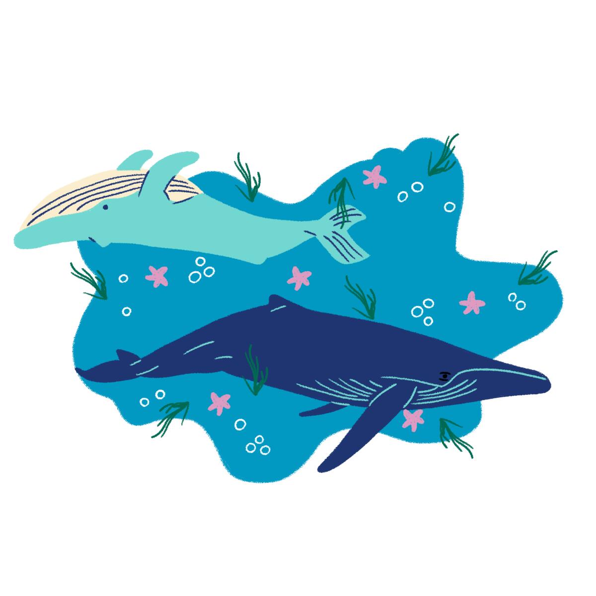
It’s whale-watching season. What better way to celebrate than with an upbeat whale story about what comes naturally in Southern California? Dana Point, that pretty jut of land in Orange County, has added a designation few other coastal areas possess: It has become a Whale Heritage Site, the fourth in the world.
You can see five kinds of whales — including blue, minke and gray, which are migrating along the coast now — and five kinds of dolphins on your tour in as little as two hours. The whale heritage program was established by the U.K.-based World Cetacean Alliance, a nonprofit whose mission is whale, dolphin and porpoise conservation. Relatively new, the program aims to reward communities that show appreciation and respect for whales and dolphins.
In its new designation, Dana Point received high marks for stoking a whale-going culture, starting with the annual whale festival, which in March will mark its 50th year. The designation also is designed to provide a way for mindful travelers to see animals in the wild rather than in tanks. Read the story of the two rival whale-watching companies that together made this happen.
By the numbers
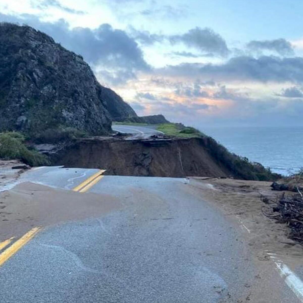
• Twenty-three miles of California 1 are off-limits after slides from storms wiped out a stretch of the road near Big Sur. It’s not known how long it will take to repair the route. Sound familiar? A few years ago, it took 14 months to fix a section that was taken out by a landslide in 2018. Read the full story.
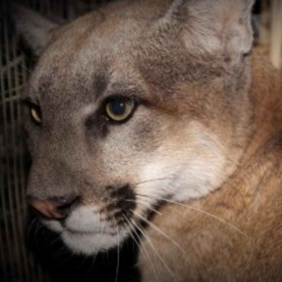
• P-95 is the latest mountain lion to get one of those bulky GPS radio collars designed to allow biologists to track them in the Santa Monica Mountains. That brings the number of lions being tracked by the National Park Service in L.A. County to 10. How did they find P-95? He sent them a text, of course. Read the back story here.
Send us your thoughts
Share anything that’s on your mind. The Wild is written for you and delivered to your inbox for free. Drop us a line at TheWild@latimes.com.
Click to view the web version of this newsletter and share it with others, and sign up to have it sent weekly to your inbox. I’m Mary Forgione, and I write The Wild. I’ve been exploring trails and open spaces in Southern California for four decades.

Sign up for The Wild
We’ll help you find the best places to hike, bike and run, as well as the perfect silent spots for meditation and yoga.
You may occasionally receive promotional content from the Los Angeles Times.


