Best places to see total eclipse of the super flower blood moon
- Share via
By Mary Forgione
Welcome to The Wild! (View in web browser here.)
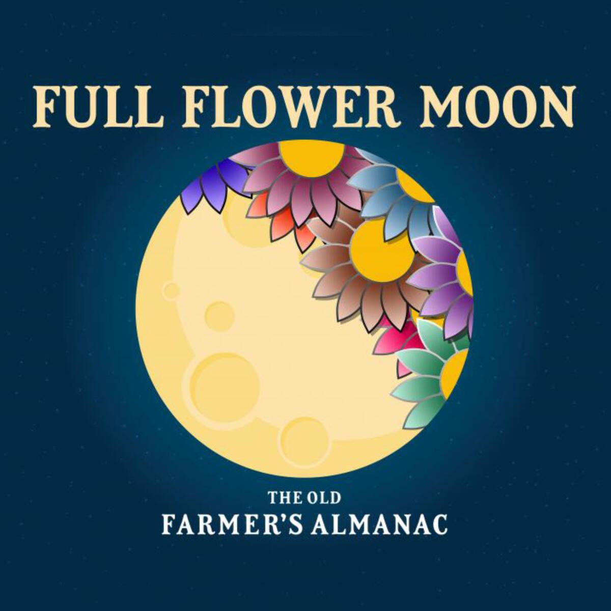
Go to the dark side to see the upcoming eclipse of the Super Flower Blood Moon. That title is a lot to unpack. Let’s start with this: The full moon will have a reddish cast (hence the term “blood moon”) during the total lunar eclipse in the wee hours of May 26. It’s the only total lunar eclipse in 2021. “Lunar eclipses can appear anywhere from golden to deep red in color,” Lisa Will, an astrophysicist at San Diego City College, told The Times in 2019.
The full eclipse will be visible low in the sky in the L.A. area for about 14 minutes starting at 4:11 a.m. local time May 26, according to timeanddate.com. It’s also a super moon, meaning it’s bigger and about 15% brighter than usual. Super moons occur when the moon comes closest to Earth. “Flower moon” is the name given to the moon this month because it’s when wildflowers bloom.
Where are the best places to watch? You must be in a dark spot and hope that fog and clouds don’t mess with your ability to watch the celestial show.
Find a light-free location: Light pollution keeps 80% of the people in North America from seeing the Milky Way. The key to having a great eclipse experience is to find a dark place away from city lights. That’s tough in L.A., which has serious urban glow. Your backyard or nearby city park may do, but choose your spot carefully. The city’s big parks, such as Griffith and Elysian, aren’t open in the wee hours when the eclipse takes place.
Find a dark-sky park: L.A. is lucky to have two national parks with International Dark Sky status: Joshua Tree and Death Valley. The designation means they provide good viewing of the night sky. Great Basin National Park in Nevada also is a dark-sky park with great viewing, for those who want to go farther afield. Tip: Sky’s the Limit Observatory and Nature Center (9697 Utah Trail, Twentynine Palms) allows visitors to set up chairs and bring their own scopes to watch the eclipse. No camping, booze, pets, alcohol or smoking allowed.
Find a dark-sky community: Borrego Springs at Anza-Borrego Desert State Park and nearby Julian have been declared dark-sky communities, meaning the town’s wattage is low enough to enjoy the night sky.
Find a high point: The farther you drive into the Angeles National Forest north of L.A. and other nearby forests, the farther you are from SoCal’s lights. Some recommendations:
Red Box: This is a parking lot on the Angeles Crest Highway (California 2) in the Angeles National Forest about 14 miles north of La Cañada Flintridge. There’s plenty of space to park, set up chairs and wait for the show. You’ll also see turnouts along the way that may work just as well (though you don’t want to be facing the lights of L.A.).
Chilao Campground: Make a night of it and stay at this Angeles National Forest campground at 5,300 feet, where you can scout out a good view spot for wee-hours viewing. There are 84 campsites ($12 a night, first come, first served). It’s on Angeles Crest Highway, 26 miles north of Interstate 210 in La Cañada Flintridge.
Horse Flats Campground: This is another stay-over option for an eclipse campout. You’re about a mile from the top of Mt. Hillyer, which may provide good viewing too ($12 a night, first come, first served). It’s about 29 miles on Angeles Crest Highway from Interstate 210; at Three Points, turn south for a three-mile drive to the campground.
Mt. Pinos Recreation Area: You could hike two miles to the 8,831-foot peak and wait for night to fall. Or you could drive to the parking lot at 8,300 feet (a.k.a. the Chula Vista or Nordic Base), which has become a magnet for stargazers. It’s in the Los Padres National Forest about 12 miles from the Tejon Pass exit on Interstate 5. More information on Mt. Pinos here.
3 things to do this week
1. Put yourself out there with the Hikes for Health Challenge. Another week, another challenge. That’s pretty much how the four-week Hikes for Health Challenge goes. The program doesn’t just throw down the gauntlet either. There are virtual events to guide you through the course at 4 p.m. every Thursday. Here’s the roster: Health and Healing on May 20, Gear I Hold Dear on May 27, Who Makes the Trails? on June 3 (National Trails Day is June 5) and Sustainability on June 10. Each category has four mini-challenges to keep you connected — and outdoors. It’s free, and you can enter weekly drawings for a chance to win gear provided by REI. Here’s REI’s Hikes for Health landing page to get you started.
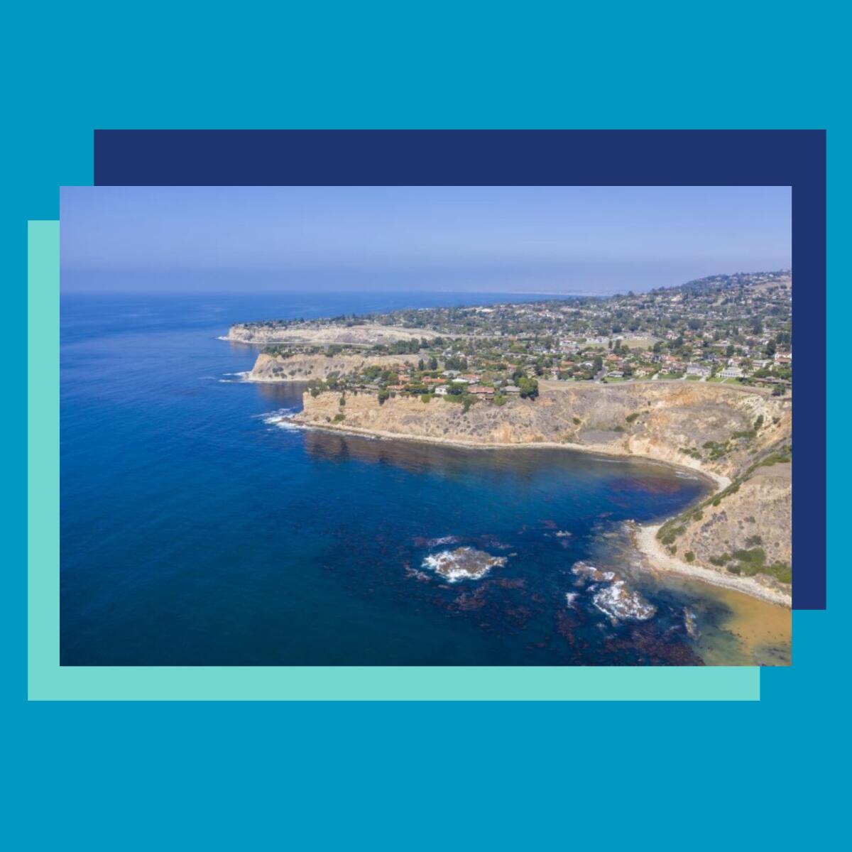
2. Take it easy on these hikes with gorgeous ocean views. After the L.A. Times published The 50 Best Hikes in L.A., some people asked: “Hey, why don’t you have any EASY hikes?” I thought about that and came up with a list that pairs easy trails (not beach walks) with some of the best ocean views.
An example, from my colleague Christopher Reynolds: “As you drop to San Onofre State Beach from Trailhead 3, a spectacular coastal panorama will open to the southeast (if you’re hiking in the morning, the light in that direction might be dramatic). You’ll be surrounded by coastal brush and crumbling cliffs that are at once beautiful and daunting.” Who could resist? The selected hikes are one to three miles long and good for everyone, including young kids and grandparents. Feel free to bring a picnic. Check out 8 easy Southern California hikes with great ocean views.

3. Turn your front yard into a microfarm? Sure, why not. I like L.A. stories that make you think about how we can envision our city differently. Take that decorative front lawn that’s a water-gobbling throwback to the 20th century. Nothing says it can’t be your go-to spot for dinner fixings.
“Everybody is entitled to the nutrients beneath their feet,” Jamiah Hargins told The Times in this story. “That applies to people in apartment buildings, or condos. They have the right to have local food. Folks can have a different life. I’m hoping to show that it can be done.” By showing he means the transformation of his 970-square-foot South L.A. front yard into the land of bok choy, Tuscan kale, rainbow chard, tomatoes, basil and chives. And before you say, “That would never work,” I must point out that it does. Asante Microfarm flourishes in a “food desert,” where access to fresh food is problematic. Read the full story here and be inspired.
Wild things
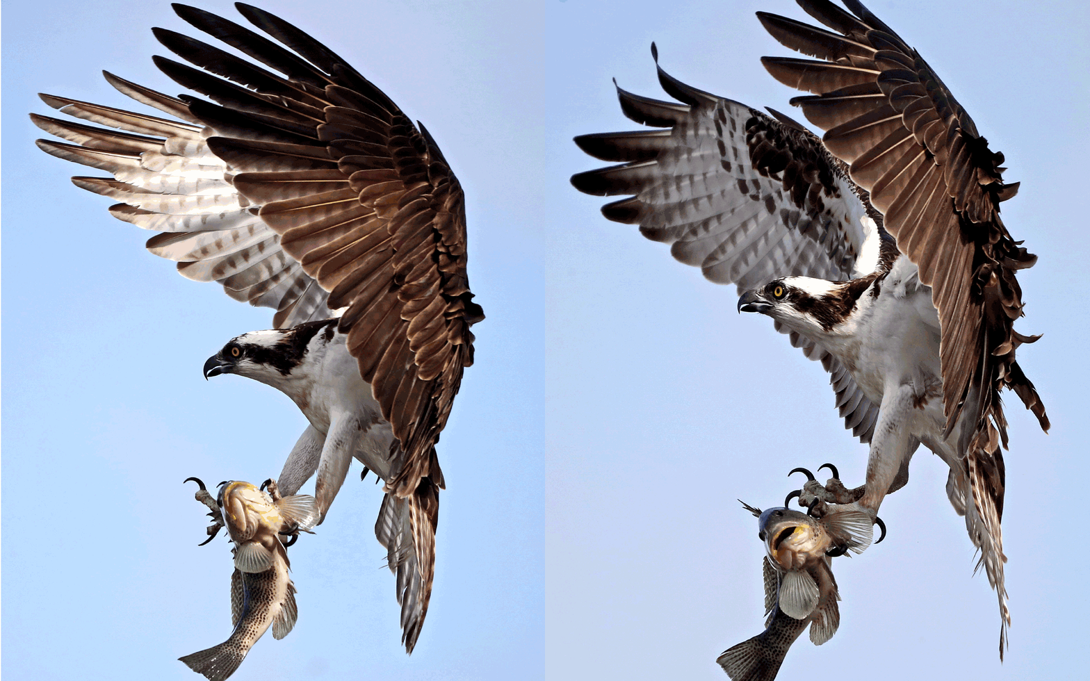
My colleague Raul Roa, photo editor at Times Community News, on April 21 photographed this male osprey grabbing a snack for his family in a nest at the Sunset Aquatic Marina in Huntington Beach. Locals say the osprey nest has been there for five or six years, and Raul periodically checked on the birds. It wasn’t until mid-March that chicks were seen in the nest.
Raul shares how he got the shot: “This one was the occasion where the male came in with a large spotted bay bass. Fortunately, I was standing near the right spot where he was coming in to eat it. As the osprey came to land on the top of a light fixture near the nest, it slowed its forward momentum down by using its wings as breaks while holding on to the fish with its talons. I used a Sigma 60-600mm lens on a Canon 1Dx II, ISO 1600, f-stop at f6.3 and a shutter speed of 1/5300 second to freeze the action. The osprey flies so fast, I did not want any motion blur so I used a high shutter speed.”
The red flag
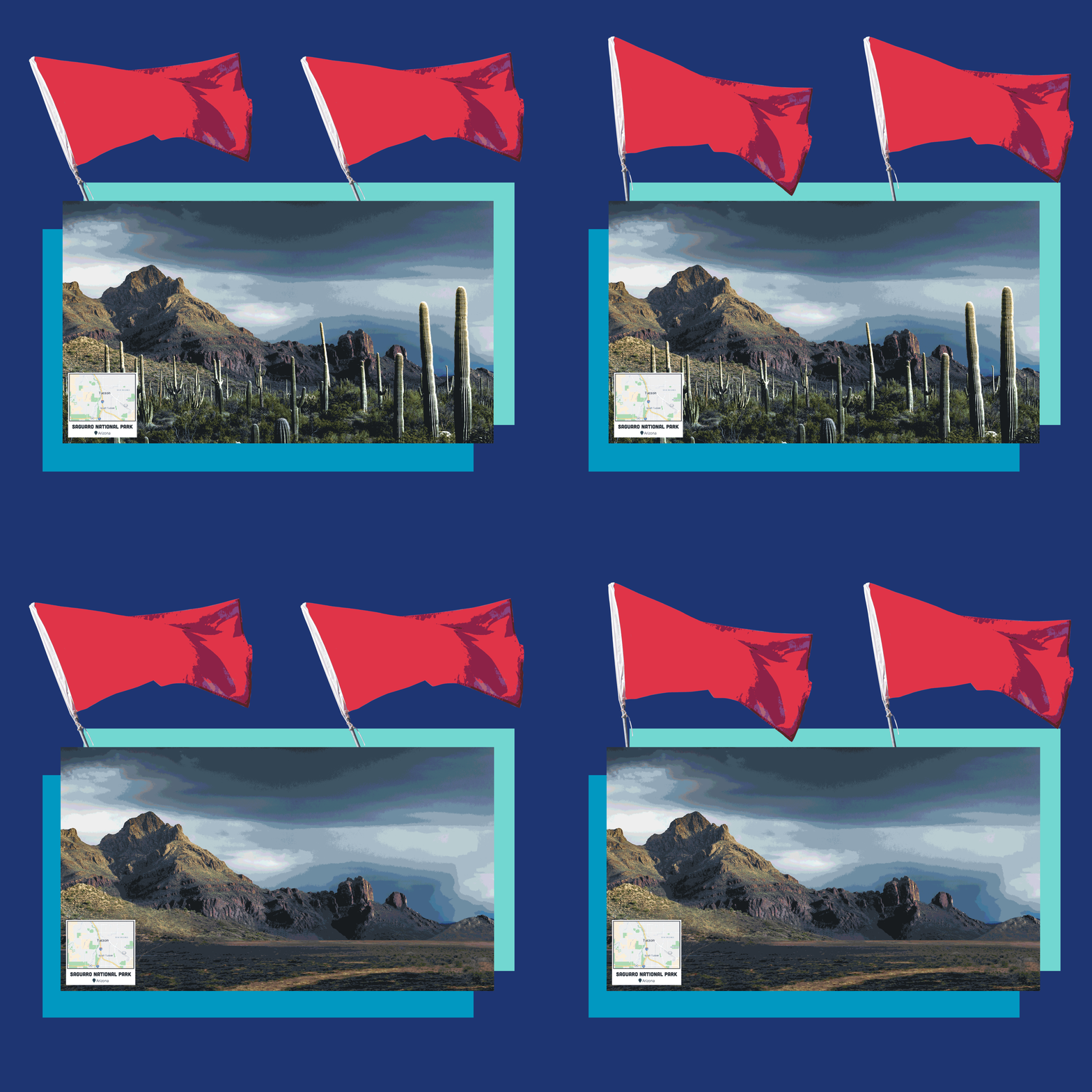
Can anyone imagine Joshua Tree National Park without Joshua trees or Saguaro National Park without saguaros? Britain-based outdoors website Outforia shows what unchecked climate change may do to wild landscapes around the world, including many U.S. national parks.
The photos in this Outforia story allow you to toggle before and (potential) after photos. It’s a stark reminder of what’s at stake. “Hopefully these images and our efforts on this project will provide a reality check to many; whether this be enjoying outdoor beauty more often or making more serious changes to your lifestyle,” founder Carl Borg said in a statement.
Cool stuff

Looking for backpacking meals that suit your diet and taste good? Colorado-based Wild Zora makes meals-to-go that are gluten-free, paleo-friendly, grain-free, dairy-free, soy-free and have no added sugars. Mountain Beef Stew and Summit Savory Chicken follow the strict autoimmune protocol diet, which may help people with allergies and eating restrictions. “We like to have all of these options in order to empower people that have strict dietary needs to get outside easily and with confidence,” marketing director Hanna Jensen said in an email. They cost $10.95 to $12.95 per meal; details at Wild Zora.
P.S.
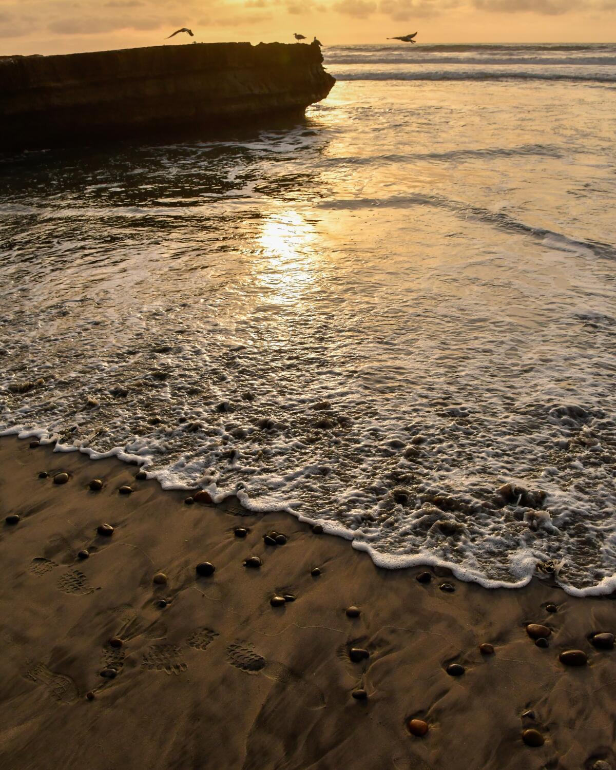
Walking the length of California’s coast on a continuous 1,230-mile trail between Mexico and Oregon is getting a bit closer to reality. Connecting a network of existing trails to form a contiguous California Coastal Trail has been in the works since 1975. A new interactive map shows the route is about 70% finished — and highlights areas that still need work. The map is intended not as a hiking guide (though you can use it that way) but as a planning guide for communities and the state to figure out how to connect the missing bits.
Parts of the trail are accessible on foot and by bicycle; other sections would be suitable for wheelchair users and horseback riders as well. You can use the map as a trip-planning tool if you’re looking for intact segments to try. Here’s the new California Coastal Trail map.

Want something new to wear on the trail this summer? Add a white, sun-reflecting bucket hat with The Wild logo to your hiking wardrobe. You can pick up a branded water bottle too. Click here to order.
Send us your thoughts
Share anything that’s on your mind. The Wild is written for you and delivered to your inbox for free. Drop us a line at TheWild@latimes.com.
Click to view the web version of this newsletter and share it with others, and sign up to have it sent weekly to your inbox. I’m Mary Forgione, and I write The Wild. I’ve been exploring trails and open spaces in Southern California for four decades.

Sign up for The Wild
We’ll help you find the best places to hike, bike and run, as well as the perfect silent spots for meditation and yoga.
You may occasionally receive promotional content from the Los Angeles Times.


