Pacific Coast Highway reopened but drivers warned to expect ongoing lane closures
- Share via
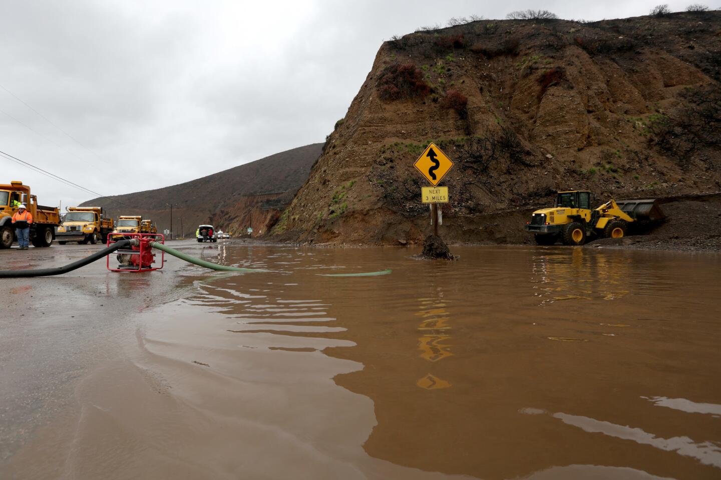
A stretch of Pacific Coast Highway in the Malibu area was reopened Monday evening as crews worked to clear the road of mud and debris after Saturday’s storm, officials said Monday.
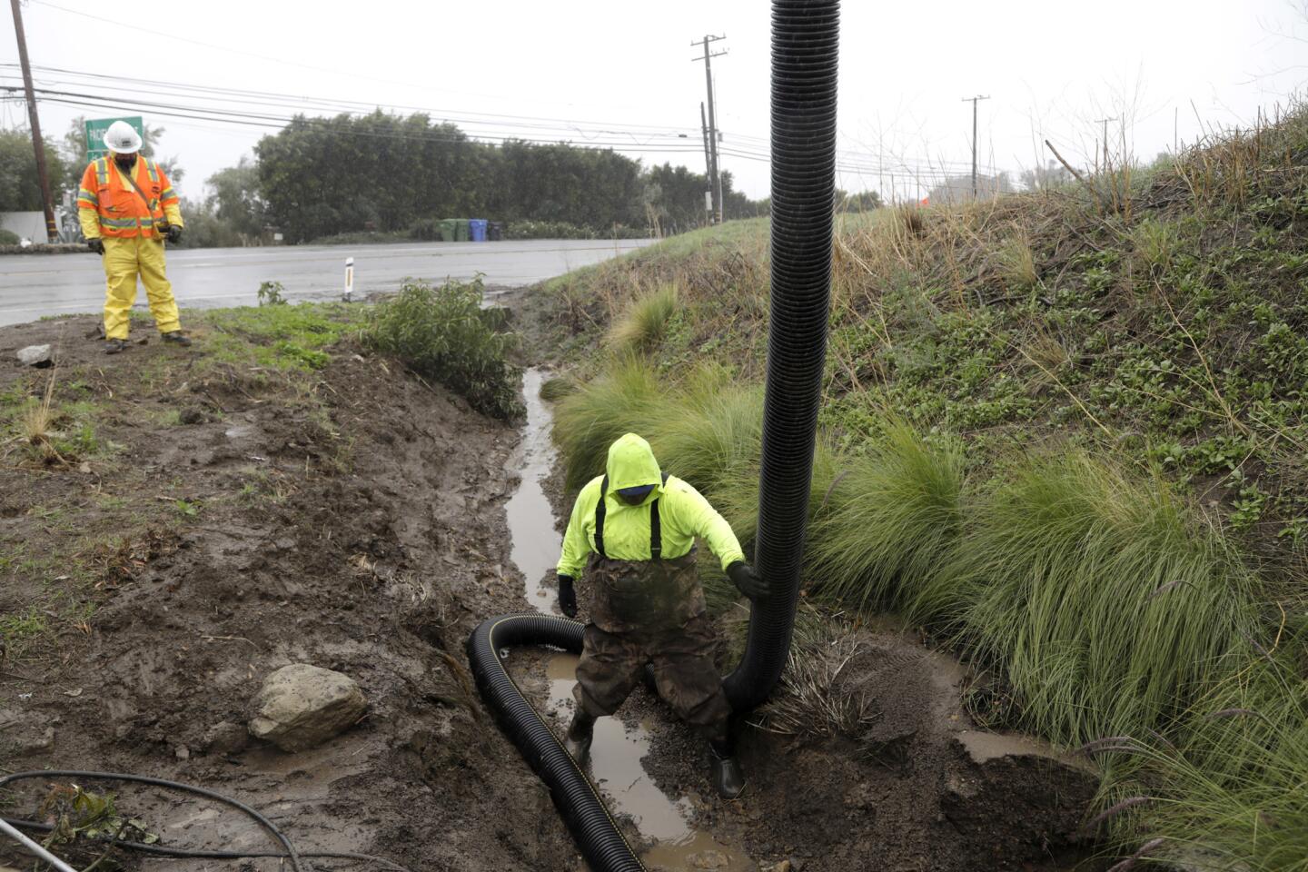
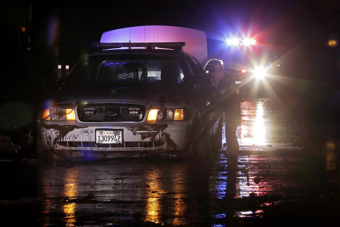
Crews worked around the clock over the weekend, moving four vehicles trapped in mud that was 4 feet deep in some areas. Caltrans advised drivers Monday to use alternate routes and expect lane closures because workers were still clearing slides and cleaning drains.
Officials had initially said the highway between Encinal Canyon Road in Malibu and Las Posas Road in Ventura County could remain closed through Wednesday, when another bout of rain is expected, Caltrans said.
Decker Canyon Road between PCH and upper Mulholland Highway remained closed, and Caltrans spokesman Marc Bischoff advised people to stay out of the area and avoid recent burn areas.
Rapper Soulja Boy was among those trapped in the mudslide, the Associated Press reported. He tweeted Sunday: “My car got stuck too almost went into the ocean.”
Monday’s storm was preceded by a wind event called the Palmdale Mountain Wave in Lancaster and the surrounding areas that brought sustained winds of 50 mph with gusts up to 70 mph, said Kristen Stewart, a meteorologist with the National Weather Service. The high winds, which felled several trees overnight, weakened on Monday.
The rain let up later in the day, making way for clear skies and dry weather before rain returns Wednesday, Stewart said.
The midweek storm looks to be less significant than expected, officials said. It’s expected to center over Santa Barbara and San Luis Obispo counties, with light rain trickling toward Ventura County. It’s possible Los Angeles County won’t get rain at all, forecasters said.
“I would probably say not more than an inch,” Stewart said. “This storm is a lot weaker than we were anticipating previously, and it won’t be as bad as what we saw Saturday.”
But another, stronger storm is forecast toward the end of the week, the weather service said. Though it’s too early to predict rainfall amounts, the bull’s-eye for Friday’s storm is expected to be centered over the Malibu area, extending from Oxnard to Los Angeles, Stewart said.
Bischoff said it’s too early to consider Friday’s storm in any predicted road closure plans.
In the north, heavy snow and rain over the weekend caused road closures and power outages.
More than 9,000 customers in Sacramento were without electricity on Monday morning, according to the Sacramento Municipal Utility District. The outages were caused by wind and storm conditions, the utility said on its website.
The northern Sierra Nevada got between 1 and 2 feet of snow with the weekend’s storm. Along Interstate 80, snow caused dangerous driving conditions and poor visibility, and Caltrans officials closed the freeway in both directions from Colfax in Placer County to the Nevada state line Sunday evening.
“They had near white-out conditions on the road along with accumulating snow, drivers spinning off the road and colliding,” said Karleisa Rogacheski, a meteorologist with the National Weather Service. The highway was reopened Monday morning.
In the Bay Area, the weather service issued a wind advisory, cautioning that winds of 20 to 30 mph with gusts up to 60 mph could hit some areas of the mountains.
The North Bay and Santa Cruz mountains saw most of the weekend’s rainfall, logging 3 to 5 inches. San Francisco got about an inch and a quarter of rain, meteorologist Steve Anderson said. The rain is expected to slow in Northern California on Monday, but return Wednesday.
“We’re definitely in a wet weather pattern for the next week,” Anderson said.
Times staff writer Alene Tchekmedyian contributed to this report.
alejandra.reyesvelarde@latimes.com
Twitter: @r_valejandra
More to Read
Sign up for Essential California
The most important California stories and recommendations in your inbox every morning.
You may occasionally receive promotional content from the Los Angeles Times.

