Texas braces for Hurricane Patricia; flood watch issued across the state

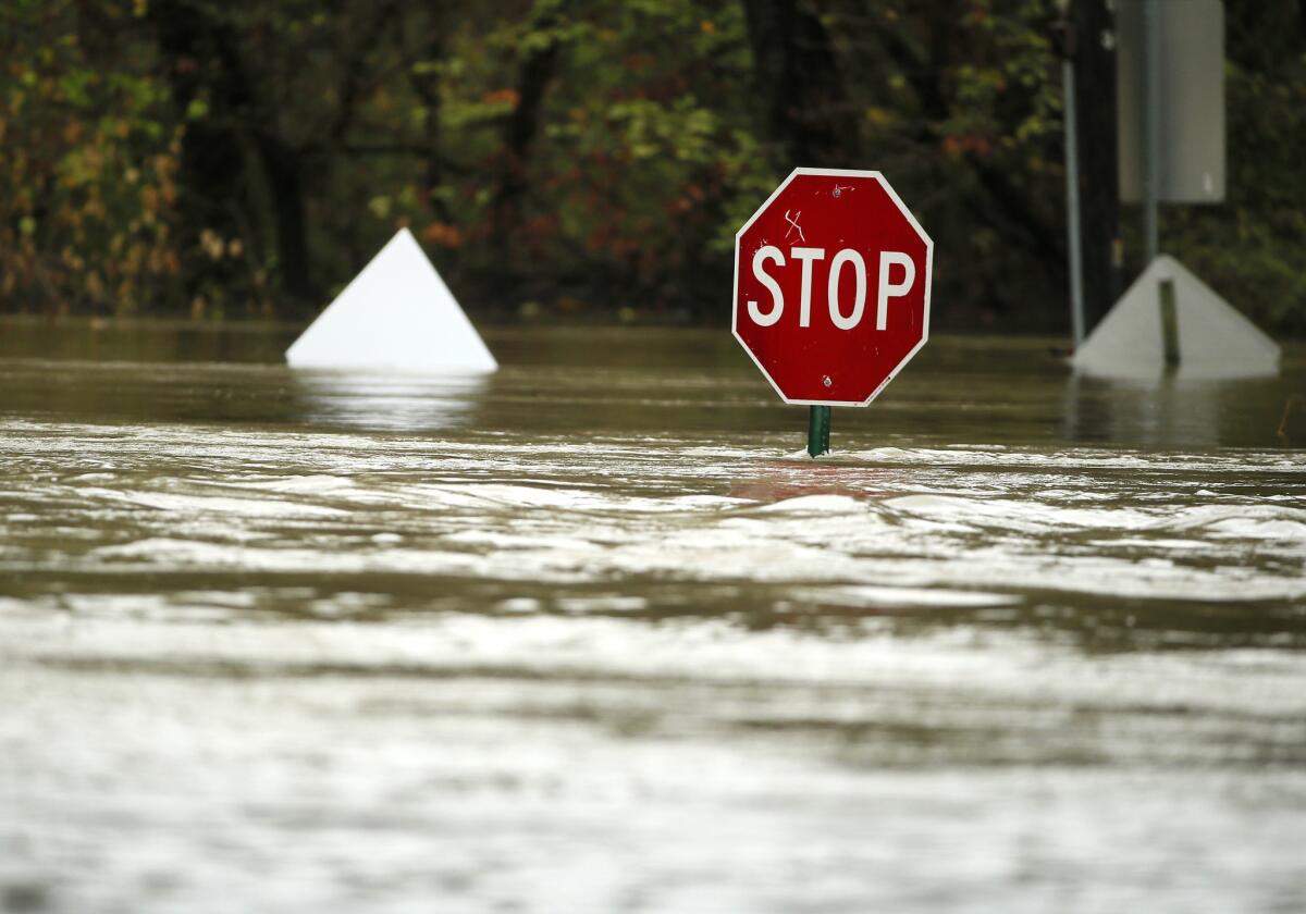
A stop sign peeks above the water after heavy rains Dallas on Friday. Residents are bracing for more rain this weekend from storms fueled by massive Hurricane Patricia.
- Share via
Reporting from Houston — Parts of Texas were slammed by driving rainstorms Friday as emergency crews braced for the full impact of Hurricane Patricia, which could bring up to a foot of rain and trigger flash flooding across the state.
“We’re taking steps now for the worst-case scenario,” said Michael Walter, spokesman for the Houston Emergency Operations Center set to open Saturday afternoon to cope with the advancing storm.
Most of the state is now under a flood watch.
On Friday, as much as a half foot of rain fell in parts of Texas. In Corsicana, about 40 miles southeast of Dallas, more than 13 inches fell Friday at the city’s municipal airport, according to the National Weather Service.
The on-and-off rains that drenched parts of the state over the last 24 hours were not the direct result of Patricia slamming into the central western coast of Mexico, said Matt Stalley, a meteorologist in the National Weather Service’s Fort Worth office.
But it set the stage for a potentially tough weekend as a hurricane-spawned storm was expected to hit some areas Saturday.
Gov. Greg Abbott activated the state emergency operations center Friday, with rescue teams poised to respond and a flash-flood watch that is expected to remain in effect through Sunday for central and north Texas, and into Monday in the Houston area.
Residents were warned to stay home late Saturday when the brunt of the storm is expected to hit.
“We lost more people that drove out in the water than any other single thing” during flooding in May, said Dallas County Judge Clay Jenkins, after a conference call with emergency managers about the storm on Friday.
Though the ground is less saturated now than it was in May -- when a massive storm swept away homes and killed more than 30 people -- there are tremendous risks if the storm slows and dumps heavy rain in one spot.
“It has everything to do with geography,” he said. “In other parts of Texas you have hills and rivers. Houston isn’t like that -- it’s built on a system of bayous.”
Jenkins said river and lake levels are lower than they were in May, providing some buffer for runoff when the storm hits.
It wasn’t immediately clear Friday which areas would bear the brunt of the rain and potential flooding, said Kent Prochazka, a meteorologist with the National Weather Service outside Houston.
The Memorial Day storm followed a clear path, while this storm is expected to move in with a far greater bandwidth, he said.
“Wherever it rains, it’s going to rain very, very hard,” he said. “That’s going to overwhelm streets and roads and eventually lead to some bayou flooding.”
Hennessy-Fiske reported from Houston and Pearce from Los Angeles.
More to Read
Sign up for Essential California
The most important California stories and recommendations in your inbox every morning.
You may occasionally receive promotional content from the Los Angeles Times.


