Southland Could Get a Lightning Show Today
- Share via
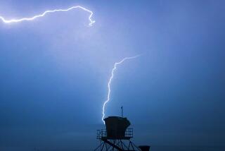
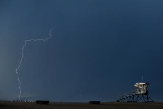
Chances for a spectacular lightning show over Southern California mountains and deserts are one in three today, but the possibility of thunderstorms will decrease as the weekend progresses, forecasters said.
For the second consecutive day, high temperatures and humidity led to a new record usage of electrical power by Southern California Edison Co. customers. The utility provided 15,487 megawatts of power Thursday, breaking a record of 15,277 set the day before.
Thursday’s air was more than hot and wet. It was also dirty. The South Coast Air Quality Management District called first-stage smog alerts--meaning that the air is unhealthful for everyone--in Glendora and the eastern San Gabriel Valley. First-stage alerts were also called in the Pomona and Walnut valleys and the Riverside area.
Above-Average Humidity
Temperatures will cool by a few degrees today and Saturday, but humidity during early morning hours will be as high as 85%, more than 30% above average for July, said Dave Beusterein, a meteorologist with WeatherData Inc., which provides forecasts for The Times.
The sopping-wet air results from an upper level high-pressure system centered over Northern California that is drawing moisture west and northwest from Mexico and Arizona, Beusterein said.
That moisture, combined with the intense heating that creates low pressure at the surface during the afternoon, produces the lightning and thunderstorms that plagued firefighters who were kept hopping from brush fire to isolated brush fire this week.
A fast-moving blaze in the Lytle Creek Canyon area of San Bernardino County threatened several isolated homes, but there were no immediate reports of structural damage or injuries. Thunderstorms were reported in the region, but the cause of the fire was under investigation.
Storm Concentrations
“The heaviest concentration of storms (today) will be in the San Gabriel and San Bernardino mountains, as well as Palm Springs and others areas of the western low deserts,” Beusterein said.
The chance of thunderstorms will be no better than 20% on Saturday as the high-pressure system breaks down and drier air begins flowing through the upper atmosphere, Beusterein said. That breakdown will cool temperatures to the upper 60s and low 70s along the coast.
The Los Angeles Civic Center, which had a high of 89 on Thursday, will see peaks in the low to mid-80s. Temperatures in inland areas will reach the upper 80s, and desert areas will see weekend highs between 100 and 113.
Sunday could begin a new round of intense heat, however, as a high-pressure ridge builds off the coast of Northern California, Beusterein said.
“I see some signs that the heat will start all over again,” he said.
More to Read
Sign up for Essential California
The most important California stories and recommendations in your inbox every morning.
You may occasionally receive promotional content from the Los Angeles Times.
