Highway 1: It’s getting riskier to perch a road on the edge of the continent
- Share via
Good morning. It’s Tuesday, April 2. Here’s what you need to know to start your day.
- Heavy weather continues to hamper Highway 1
- Your guide to California’s new $20-an-hour fast-food minimum wage
- Where to find fresh soba noodles in Los Angeles
- And here’s today’s e-newspaper
Sign up for Essential California
The most important California stories and recommendations in your inbox every morning.
You may occasionally receive promotional content from the Los Angeles Times.
Highway 1: It’s getting riskier to perch a road on the edge of the continent
It’s one of the most iconic roadways in California if not the nation, in many stretches clinging to the edge of the Central Coast’s stunning sea cliffs, providing unparalleled views of the Pacific Ocean, lush forests and even a high-gliding condor, if you’re lucky.
But traveling the length of Highway 1 can be a gamble as it is frequently shut down by landslides and cliff erosion that block the highway and strand people — particularly in the Big Sur region.
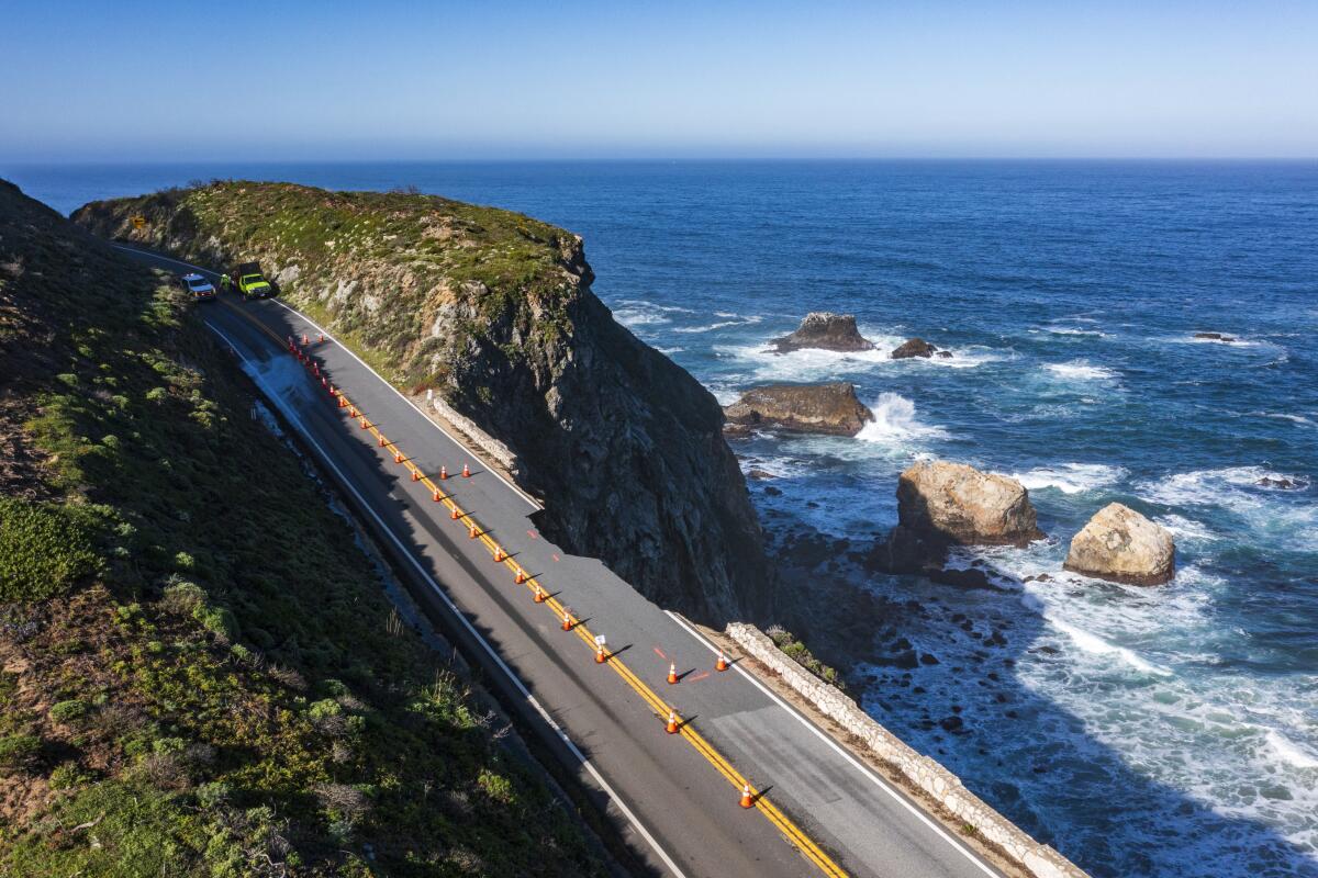
The most recent trouble came Saturday, when a chunk of cliffside and the southbound lane that sat atop it crumbled and fell into the sea. Caltrans closed more than a mile of the highway between Big Sur and Carmel-by-the-Sea.
“It’s the latest setback for the beloved but volatile highway,” Times reporter Corinne Purtill wrote Sunday. “The area is still struggling to recover from landslides triggered by last year’s soaking wet winter, which forced the closure of a 12.1-mile section along the Big Sur coastline.”
The closure initially stranded an estimated 1,600 tourists and residents. On Monday, Caltrans decided the northbound lane was stable enough to get people out. Daily convoys have been scheduled to pass through the affected roadway “under close supervision by engineers,” Caltrans officials said in a news release. The convoys could be canceled based on conditions or more wet weather, the agency said.
Officials also shut down several popular state parks along the Monterey County coast: Pfeiffer Big Sur State Park, Andrew Molera State Park, Limekiln State Park, Julia Pfeiffer Burns State Park and Point Sur State Historic Park.
It shouldn’t come as a shock that a layer of asphalt perched on the edge of sea cliffs would be vulnerable to rain and erosion — especially with back-to-back years of abnormally high rainfall.
Caltrans sure isn’t surprised. It has long been assessing Highway 1 and the rest of the transportation system as part of its Climate Resilience Improvement Plan. A picturesque view of Highway 1’s famous Bixby Bridge even adorns the front cover of the public draft of the report, published last September.
“While infrastructure has traditionally been designed to endure a set of extreme weather events and frequencies, climate change is increasing the severity, frequency, and duration of these events, requiring advanced planning and innovation to adapt to the new norm,” the report states.
In that plan, Caltrans notes it has prioritized four projects to “address sea level rise and cliff retreat on Highway 1.” It’s easy to spot Highway 1 on this map showing the roadways Caltrans is prioritizing to study for climate change adaptation. Most of the stretch between Carmel-by-the-Sea and San Simeon is colored in.
Separate from Caltrans’ analyses, a 2022 study published in the journal Geomorphology identified Big Sur as one of the top “hotspots” for coastal cliff erosion in California.
So what’s being done to build resilience against further events like this along Highway 1? I put that question to Caltrans but did not hear back.
Its Climate Resilience Improvement Plan is a bit light on specifics but includes several mentions of enacting “policies and best practices” for engineers working in coastal environments, as well as for stormwater management and drainage designs “that consider long term changes in precipitation, wildfire and subsequent soil erosion, and ocean tides.”
A better question might be: As climate change fuels more intense weather events — like the intense rain and sea level rise that put the state’s precarious infrastructure at even greater risk — what version of Highway 1 can continue to exist?
I’ll let you know if I hear back.
Today’s top stories
California’s mandatory minimum wage
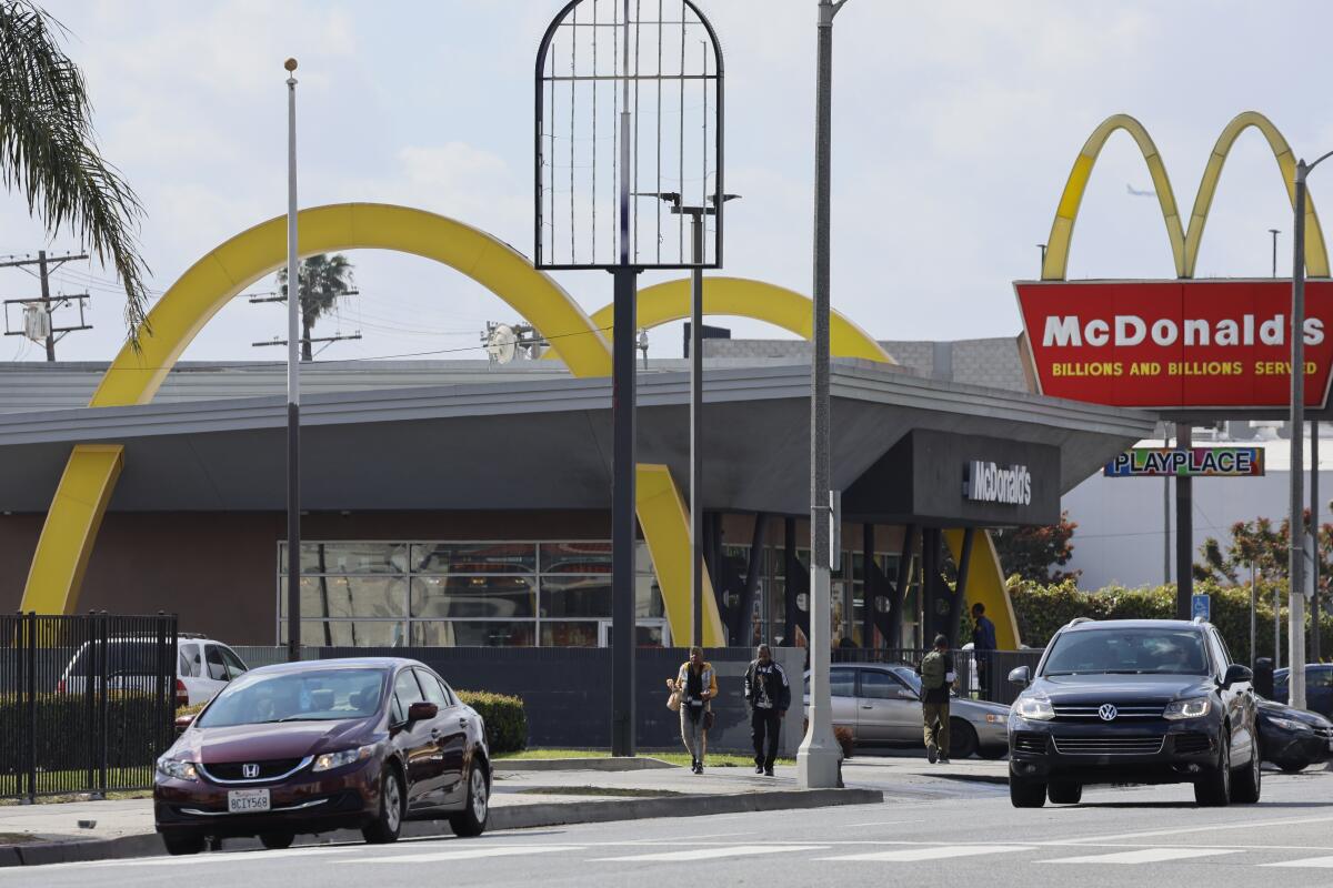
- Your guide to California’s new $20-an-hour minimum wage for fast-food workers.
- Higher prices are on the menu as fast-food chains brace for California’s big minimum wage jump.
- Starbucks, Chipotle, McDonald’s: Who’s raising prices as California fast-food law starts.
California housing costs
- California is building fewer homes. The state could get even more expensive.
- Southern California home prices rise in February, near a record.
Weather
- ‘Way, way, way above normal’ rains could set all-time L.A. record as wet weather continues.
- California storms deliver above-average snowpack, and replenish reservoirs.
- How the last 20 years of Sierra snowpack stack up, in one graphic.
More big stories
- More than $150 in credits coming to Southern Californians’ utility bills this month.
- Landlord Arnel Management illegally withheld security deposits, attorney general alleges.
- Exhausted, hungry and sleep-deprived: UCLA student super-commuters search for relief.
- Influencer, professional gambler Mikki Mase questioned by police after gunfire reports in Chatsworth.
- Two Warner Bros. Discovery board members step down amid DOJ investigation.
- Disney’s biggest shareholder fight in 20 years will shape the company’s future.
- A teen, reported kidnapped, was killed by deputies as she followed their instructions, video shows.
- A federal judge rejects Hunter Biden’s bid to dismiss tax case in L.A., paving way for trial.
Get unlimited access to the Los Angeles Times. Subscribe here.
Commentary and opinions
- LZ Granderson: Caitlin Clark is having a moment in women’s basketball. She shouldn’t be the only one.
- Jonah Goldberg: Voters wishing for an alternative to Trump and Biden got one. Unfortunately, it’s RFK Jr.
- Michael Hiltzik: It’s not just Shohei — a massive scandal involving sports betting is just around the corner.
Today’s great reads
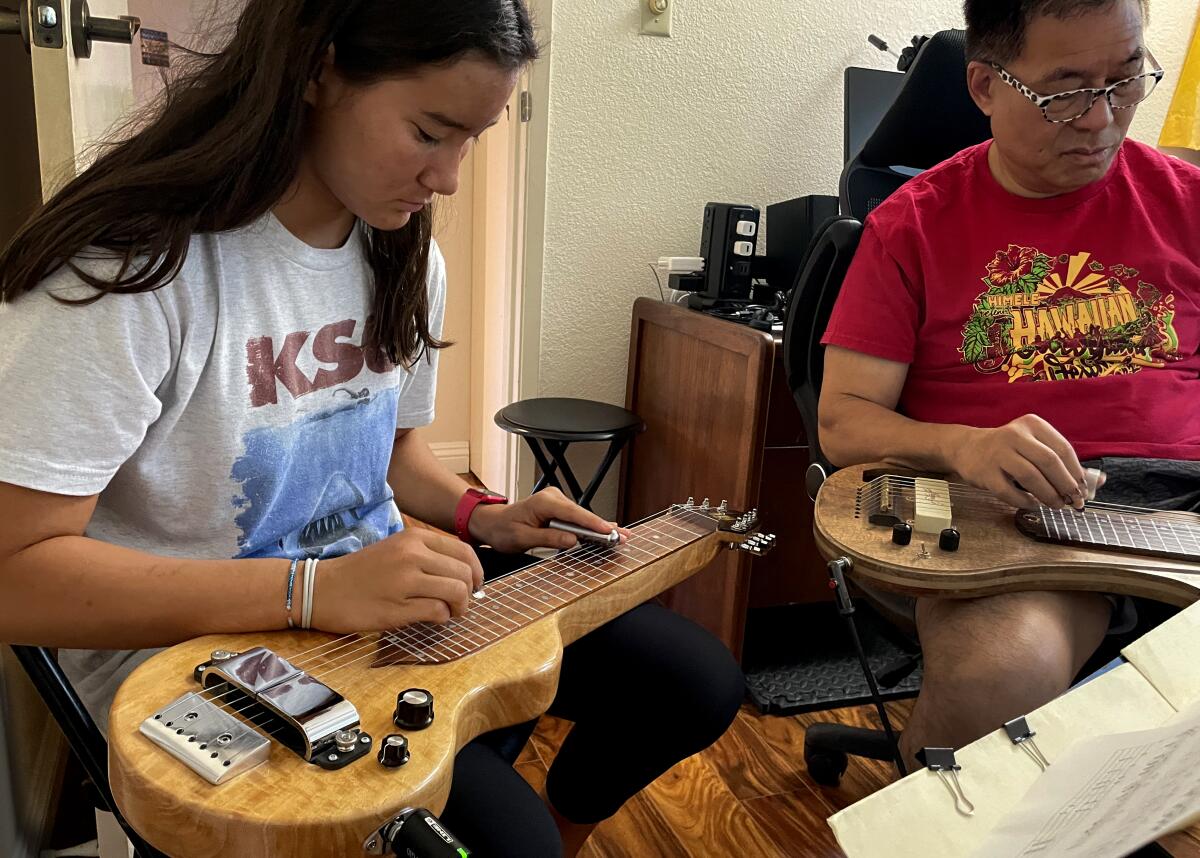
The Hawaiian steel guitar changed American music. Can one man keep that tradition alive? The Hawaiian steel guitar, an Indigenous instrument and once a cultural force, now garners little recognition even in the place of its birth.
Other great reads
- Why aren’t wildflowers bursting everywhere? Don’t expect a superbloom.
- The power of Beyoncé’s ‘Cowboy Carter’ isn’t its country twang. It’s her imagination, unlocked.
- Swifty Blue raps about L.A. gang life — and finds himself dodging real-life violence.
How can we make this newsletter more useful? Send comments to essentialcalifornia@latimes.com.
For your downtime
Going out
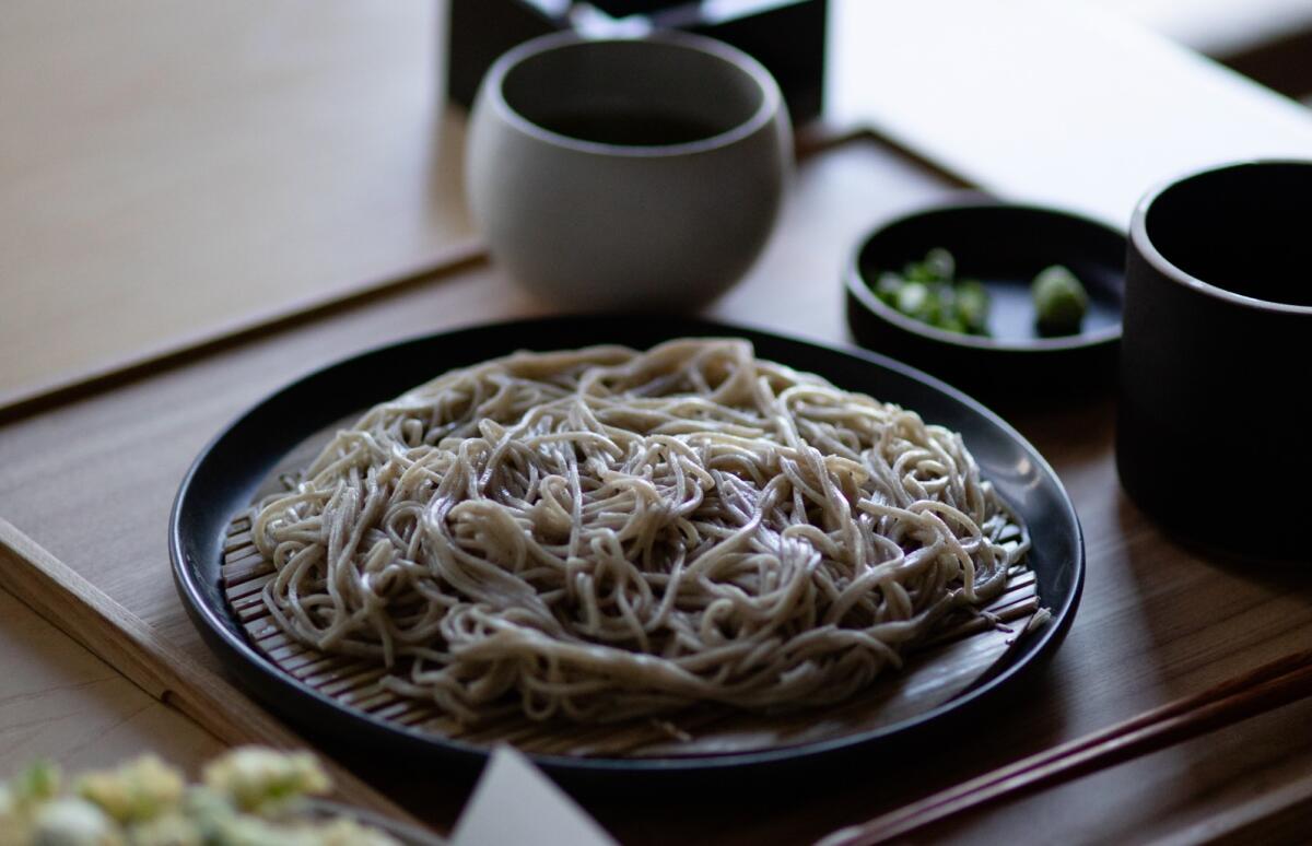
- 🍜 Where to find fresh soba noodles in Los Angeles.
- 🪴Spring into the world of native plants at the L.A. Times Plants booth at Festival of Books.
Staying in
- 🌻15 best native plants to grow in your yard if you also want fragrant bouquets.
- 📚 10 books to add to your reading list in April
- 🧑🍳 Here’s a recipe for roasted chicken and potatoes with salsa verde.
- ✏️ Get our free daily crossword puzzle, sudoku, word search and arcade games.
And finally ... a great photo
Show us your favorite place in California! We’re running low on submissions. Send us photos that scream California and we may feature them in an edition of Essential California.
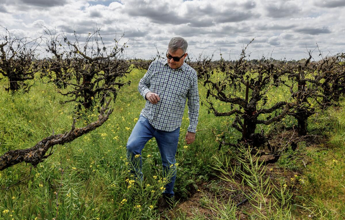
Today’s great photo is from Times photographer Gina Ferazzi at a struggling California vineyard where a tectonic shift in generational drinking habits has led to a global glut of wine.
Have a great day, from the Essential California team
Ryan Fonseca, reporter
Kevinisha Walker, multiplatform editor
Stephanie Chavez, deputy metro editor
Check our top stories, topics and the latest articles on latimes.com.
Sign up for Essential California
The most important California stories and recommendations in your inbox every morning.
You may occasionally receive promotional content from the Los Angeles Times.
