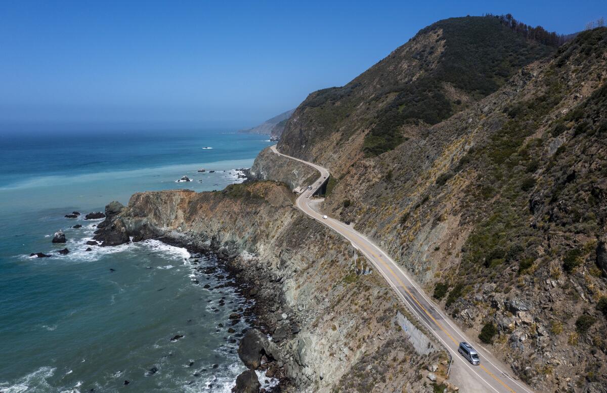
‘We had a plan and then things kept moving’: Battered yet enduring, Highway 1 remains closed

- Share via
When a series of atmospheric rivers flowed into California last January, the Big Sur coastline was quickly swamped, and Highway 1, a lone life raft connecting San Simeon in the south and the Monterey Peninsula to the north, was overcome.
Long vulnerable to the whims of nature, the iconic serpentine is especially susceptible to landslides, debris flows and terrain ever bowing to the weight of water, no more so than a lonely and lovely stretch of road just south of the New Camaldoli Hermitage and the nearly forgotten outpost, Lucia, and just north of redwood-forested Limekiln State Park and the Ragged Point headlands.
Here at Paul’s Slide, fencing and K-rails were no match for last winter’s deluge that piled stones, mud and debris over the pavement, forcing Caltrans to stop traffic and once again create two of the most picturesque cul-de-sacs in California, if not the country.
Ten months later — even with crews working seven days a week throughout most of the year — the road is still closed, and holiday travelers, hoping to take in the broad vistas of sea and sky en route to destinations north or south, will be frustrated, having to settle for Highway 101 or even Interstate 5.
The effect of last week’s rain on the construction site is not known, but with an El Niño-fueled winter ahead, no one is making any predictions.
“Highway 1 is a dynamic location due to the geography and nature,” said Jim Shivers, public information officer for Caltrans’ District 5. “It is always in a state of movement. In recent weeks we have been able to make good progress … but the exact opening is unknown.”
Famously troublesome, Paul’s Slide has long been scrutinized by geologists ever mindful of the large movements of land along this edge of the continent. Unlike Mud Creek 13 miles to the south — where one Saturday morning in May 2017, a hillside collapsed, sloughing an estimated 1.5 million tons of rock and mud over the highway and into the Pacific — Paul’s Slide is less dramatic.
But, said Shivers, “each incident on the Big Sur coast is different; no two situations are the same. When you talk about Mud Creek, an entire mountain came down and took out the highway and spilled into the ocean. That was a major landslide.”
Paul’s Slide, however, is a different geological phenomena. It moves slowly yet persistently, raining the highway with debris and topsoil and ever gradually shifting underneath to the weight of water and gravity. One-lane closures are not uncommon.
Earlier this year, as designers for Caltrans completed one set of blueprints for rerouting Highway 1 in the aftermath of last winter’s storms — and as contractors began to line up their skip loaders and dump trucks — Paul’s Slide shifted a second time, according to Shivers, requiring a new design and causing new delays.
“We had a plan,” said Shivers, “and then things kept moving.”
The new and improved road will eventually take travelers further inland and slightly higher, according to Shivers.
Until then, the two scenic dead ends invite travelers to linger without traffic, without rushing, without a destination in mind — before turning around and going back the way they came.
More to Read
Sign up for Essential California
The most important California stories and recommendations in your inbox every morning.
You may occasionally receive promotional content from the Los Angeles Times.


