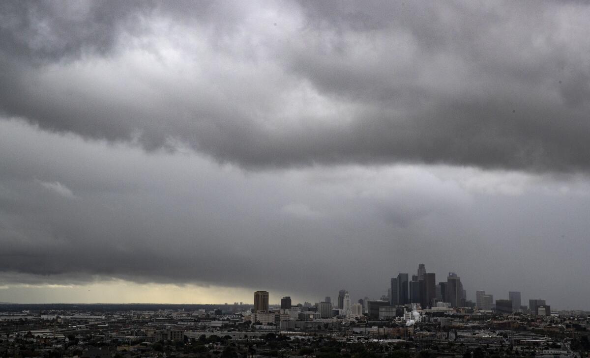
Approaching storm to yield rain, snow and hail across Southern California

- Share via
After a dry start to the year, a powerful storm system was expected to move into Southern California late Sunday, producing heavy rain, snow and gusty winds, according to the National Weather Service.
A Pacific storm system has been moving down from the Gulf of Alaska the last few days and forecasters said it was expected to reach the region by 10 p.m.
“Even with La Niña, we still get storms,” Mike Wofford, a meteorologist with the NWS in Oxnard, said Sunday. “It’s not unusual to have spring storms at all.”
Coastal and inland cities are estimated to receive 1 to 2 inches of rain, with the mountains receiving up to 4 inches, including up to 3 inches of snow above 6,000 feet. A winter storm warning was issued for Los Angeles and Ventura counties beginning Sunday night through 6 a.m. Tuesday.
The foothills and mountains from Santa Barbara to the San Gabriels will see the highest amount of rain.
“Anytime we have storms with good south winds, those tend to get the most amount of rain,” Wofford said. Santa Barbara and the San Gabriels “are aligned on an east/west direction, perpendicular to wind flow. Wind hits those and causes rain to increase.”
The San Bernardino Mountains will be hit hard with south winds 25 to 35 mph and local gusts to 65 mph. A wind advisory is in place through 9 a.m. Monday.
Advisories are also in place for Los Angeles valley, desert and central coast areas, where some winds will be slightly less forceful. Gusts up to 55 mph will hit mountains in Los Angeles and Ventura counties beginning Sunday night.
Forecasters warn of potential debris flows in areas that were recently burned by wildfires. Motorists are encouraged to “turn around, don’t drown” when approaching floodwaters.
Carol Smith, meteorologist with NWS, said the storm will stick around until Monday night, at times producing heavy downpours, gusty winds, thunder and lightning. She said some areas will see hail.
“It’s a big storm system,” she said. “The roads will be more slick because of the accumulated oil that has built up.”
Mountains will see the most snow high up at 7,000 feet, but lower levels where people live, including Interstate 5 and major roads, won’t be as impacted, Wofford said.
Temperatures are also expected to cool considerably after recent record-breaking high temperatures and an unusually warm February.
Smith said although the storm system will bring much-needed rain and snow, it won’t be anywhere as intense as systems that hit in December, when downtown Los Angeles received about 9 inches of rain.
So far this year, downtown has received less than an inch of rain, compared with the nearly 4 inches it received during the same period last year.
Smith said it’s not much rain, but it’s something.
“We’ll take it,” she said.
More to Read
Sign up for Essential California
The most important California stories and recommendations in your inbox every morning.
You may occasionally receive promotional content from the Los Angeles Times.


