California’s biggest winter storm so far is on its way. Will it put a dent in the ‘snow drought’?

- Share via
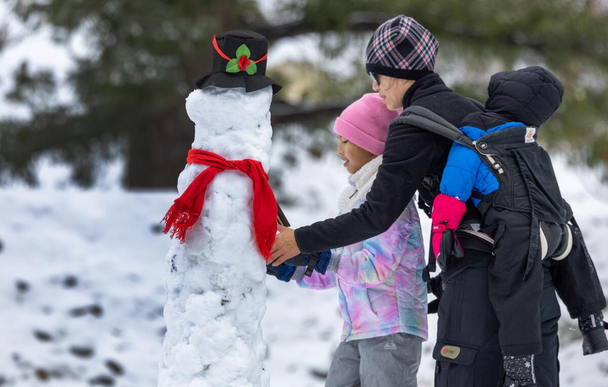
After a worryingly weak start to the winter for California’s mountains, two storms — including what’s expected to be the biggest of the season so far — are expected to dump several inches of snow on the Sierra Nevada this week, days after some promising weekend snowfall.
The first storm will move in Tuesday night, bringing a slight chance of snow showers in the evening followed by a chance of snow after midnight, according to the National Weather Service.
The second, much stronger storm is expected to arrive Wednesday, with heavy snow and strong winds. A winter storm warning is in effect for the northern and central Sierra Nevada, including Lake Tahoe, until 10 p.m. Wednesday.
Low precipitation and warm temperatures are hampering snow accumulation in the Sierra Nevada and western United States, experts say.
Snow accumulations could reach up to 2 feet on some mountains, with wind gusts as high as 50 mph. Travel could be impossible on certain stretches, according to the weather service, with delays, reduced visibility, snow-covered roads and road closures.
In the Greater Lake Tahoe area, snow accumulations could reach 5 to 11 inches at lower elevations, with 7 to 13 inches possible above 7,000 feet. Wind gusts could reach up to 60 mph in the afternoon. The snow is expected to continue into the evening, with chances of precipitation after midnight.
The region recently saw significant snowfall after a relatively dry start to the winter season that frustrated skiers and raised worries of a meager snowpack. For the area’s ski resorts and communities, Saturday’s storm brought 13 inches of snow to Northstar and Palisades Tahoe, 12 inches to Heavenly Summit and Mt. Rose Summit, 11 inches to Homewood Mountain, 7.5 inches to the Truckee Airport and about 7 inches to Tahoe City, according to the weather service.
Since Oct. 1, when the water year began, South Lake Tahoe has gotten 3.8 inches of precipitation, compared with the 7.65 inches it normally gets by this time of year, according to the weather service.
Yosemite National Park received about a foot of snow from Saturday’s storm, according to meteorologist Carlos Molina of the National Weather Service. From Wednesday morning through Thursday morning, the park could get an additional 8 to 12 inches.
Two earlier storms that passed through Yosemite before New Year’s and Christmas combined to drop only about 4 to 7 inches of snow on the park, Molina said. The region is about a month behind its normal schedule when it comes to snowfall.
“It’s a little late,” Molina said. “By the start of December, around Thanksgiving is when you start seeing the first snowfall in Yosemite. Usually by the time we get to Christmas, they’re already started or are gearing up for the winter activities you would normally see around the mountains. That season didn’t really start until pretty much right around New Year’s.”
As of Tuesday, the statewide snowpack was just 35% of normal for this time of year, according to data from the California Department of Water Resources. On the same date last year, amid a remarkably wet winter, the snowpack was 205% of normal.
With a global average temperature of 58.96 degrees, the year was nearly one-third of a degree warmer than the previous hottest year on record, according to officials.
Although storms in December delivered record-setting rainfall on the Ventura County coast and other portions of California, it was mostly confined to coastal areas and delivered little snow to the Sierra. The sparse snowfall this winter has raised concerns of a “snow drought.”
Based on current projections, Molina said, the snowpack would either be just around normal or below normal by the end of the water year. There’s another potential storm brewing that could drop 3 to 4 inches of snow in the Yosemite region Saturday, but it’s still too early to tell.
“With these storms, they’re supposed to come on a weekly basis and give us 10 to 14 inches of snow,” he said. “While these storms are in that range, if we don’t continue to see them, then we’re going to be in a snow drought. Right now, it’s hard to tell.”
Californians have depended on the snowmelt during the spring and summer to feed the state’s water supply. Sparse snowpack could mean more fire-prone forests during wildfire season.
More to Read
Sign up for Essential California
The most important California stories and recommendations in your inbox every morning.
You may occasionally receive promotional content from the Los Angeles Times.


