- Share via
A series of late-season winter storms has filled reservoirs, boosted snowpack and left forecasters anticipating a late start to California’s wildfire season.
And while the odds are also tilting toward a milder than normal fire season overall, that outlook could change by July, said National Interagency Fire Center meteorologist Jonathan O’Brien.
“It’s just a little too early to tell at this point what the peak season months are going to look like,” said O’Brien, who works for the NIFC’s Predictive Services in Riverside.
For now, Predictive Services is forecasting below-normal large fire activity in Southern California in May and June, and normal activity in Northern California.
The rainy season has already been wetter than normal for Southern California, and forecasts call for periods of rain and snow well into April, if not early May, O’Brien said. Vegetation at lower elevations is moist and green; in the high country, it’s buried in snow.
Statewide, the snowpack most recently measured 104% of normal for March 5, and 95% of the April 1 average, when it’s typically the deepest.

The statewide snowpack by Monday had swelled to 104% of normal for the date, with a snow water equivalent of 24.4 inches. Snowpack was about 94% of its average for April 1, the date when it is typically at its deepest.
The more moisture that’s in the snowpack, the longer it typically takes to melt. That ensures that vegetation dries out more slowly and also helps to moderate the onset of warmer weather, said Brett Lutz, BLM meteorologist with Predictive Services Northern California Operations.
“Years when we’ve had above-average snowpack have been correlated, especially across Northern California, with a general tendency for below-average acreage burned,” Lutz said.
Still, as climate change pushes California fires to burn at higher elevations — places that were once too wet or cool to nurture flames — more snow is falling on burned areas, said Amir AghaKouchak, professor of civil and environmental engineering at UC Irvine. Some of these places have little tree canopy to shield the snow from the sun, and that could result in snowpack melting more quickly, he said.
“So potentially, more and more fire snow interactions can contribute to a stronger or more rapid change from flood risk to drought risk,” he said.
In addition, the snow line has been creeping upward directly in response to the warming that’s taken place over the past few decades, said Alexander Gershunov, research meteorologist with the Scripps Institution of Oceanography.
“That leaves montane ecosystems more flammable in the summertime,” he said, noting that these fuel-dominated fires in forested areas have been responsible for much of the increase in wildfire activity in California over the past couple decades.

The Camp fire in Paradise revealed vulnerabilities in forest management, electrical equipment, city planning and evacuations. Has the state made strides against those shortcomings?
Additionally, forecasters are closely watching the state’s desert areas, many of which saw above-normal precipitation this year and last, fueling the growth of grasses and small shrubs. Once that material cures, which tends to happen in late April through June, it could stoke fires like the York fire — the 93,000-acre blaze that burned through the Mojave National Preserve in July and was the state’s largest fire last year.
Northerly and offshore winds — generally referred to as Diablo winds in the north and Santa Anas in the south — have driven some of the state’s most damaging fires. Predictive Services meteorologists are calling for a near- to below-normal number of these wind events over the next three months.
Part of that has to do with El Niño, the warm phase of the El Niño-La Niña Southern Oscillation pattern, which is a major driver of temperature and precipitation patterns across the globe.
The phenomenon typically results in the jet stream being divided into a subtropical and polar jet, rather than being one consolidated stream, said Brent Wachter, meteorologist with Predictive Services Northern California Operations. “That kind of robs the energy for getting as many of these stronger offshore wind events,” he said.
While in Southern California, Santa Ana winds don’t tend to stoke fire growth until later in the summer and fall, in Northern California, destructive fires that take place in May and June are typically related to a wind event, Wachter said.
Still, California is in a different place than it was at this point last year, when conditions were so wet that forecasters were confident the entirety of the fire season would be relatively mild. They can’t yet make that call this year, and cautioned that a lot could change between now and July, when peak fire season typically starts.
Some of the variables that can make or break a fire season are unpredictable. For instance, in 2022, conditions were dry and toasty, but the state benefited from some well-timed rainfall events that tempered fire activity. In 2020, a late-summer dry lightning burst sparked scores of fires, turning a so-so season into the state’s worst on record.
“These wild cards can always come up,” said John Abatzoglou, professor of climatology at UC Merced. “Things could quickly change, should the spigots from sky shut off really quickly, should we see a really warm summer, should we see an active series of dry lightning come through the state.”

One-fifth of all conifer forests in the Sierra are mismatched with the warmer climate and may not survive, according to Stanford University researchers.
Perhaps the most closely watched variable is heat, which sucks moisture from vegetation, priming it to burn. Predictive Services is forecasting below-normal temperatures for Southern and near-to-below for Northern California through June. But there’s some uncertainty in that as well.
Other forecasts, like those from the National Weather Service’s Climate Prediction Center, favor above-normal temperatures across Northern California, and roughly equal chances of above- and below-normal temperatures for the southern portion of the state.
That’s because forecasters believe we are transitioning away from El Niño and toward a likely La Niña — which denotes cooler-than-average sea surface temperatures across the Tropical Pacific — by late summer or fall. The difference in temperature outlooks over the next few months is largely tied to how quickly that transition takes place, Wachter said. Predictive Services is banking on a quicker shift, which would likely result in cooler conditions in the spring and early summer, while the Climate Prediction Center is forecasting the transition to take place more slowly.
“So that’s the big question mark, and that’s why the temperature forecast is a little tougher right now,” Wachter said.
While researchers generally see good relationships between how hot and dry fire seasons are and how much area burns in the forests of the state, in non-forested areas, the picture is a bit more mixed, Abatzoglou said.
Since the vegetation is dry enough to carry fire in most years, other factors come into play when determining the severity of the fire season. These include how much fine fuels — grasses, twigs, needles and leaves — are on the landscape.
“When we have a wet year where there’s enough moisture to allow fuels to grow in a somewhat unchecked way, which is similar to what we saw last year for much of the state, that increases the grass crop,” he said. “And it may not burn that year, but the subsequent year ends up being a pretty good year for fire.”
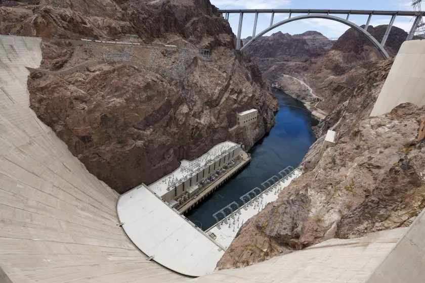
Federal officials say short-term risks have eased on the Colorado River, providing ‘breathing room’ for talks on long-term plans to adapt to climate change.
In fact, Southern California’s most damaging fire seasons tend to follow a rainy season in which precipitation was near normal, O’Brien said. Too much and the moisture curbs the spread of large fires through the summer. Too little and fine fuels don’t grow enough to be capable of carrying flames across the landscape.
When precipitation is sufficient to help grasses grow but the moisture doesn’t hang around all the way through summer, a more active season typically results, O’Brien said.
“By the time you get to mid and late summer, things have dried out and you’re really primed for fire activity with a lot of dead fuel in play,” he said.
For instance, record-setting rainfall in the first months of 2017 boosted vegetation growth, but by that summer — the hottest recorded in California at the time — much of it had dried up. Three of the 20 most destructive wildfires in the state’s history burned between October and December of that year, including the Thomas fire.
If the state does get another reprieve from severe fire activity this year, it’s not expected to last.
Wildfires in California burned five times more area between 1996 and 2020 than they did from 1971 to 1995, and nearly all of that increase can be attributed to human-caused climate change, according to research by Abatzoglou and AghaKouchak published in Proceedings of the National Academy of Sciences last year.
That long-term trend is expected to persist, resulting in as much as a 50% increase in burned area from 2031 to 2050, the study found.
“Within this long-term change, you can have high anomalies, low anomalies — a lot of variability,” AghaKouchak said. “Climate change doesn’t mean that every single year things are going to be hotter and warmer. But overall, if you look at the general trend and pattern, we are seeing an increase in temperatures and higher drought and fire risk.”