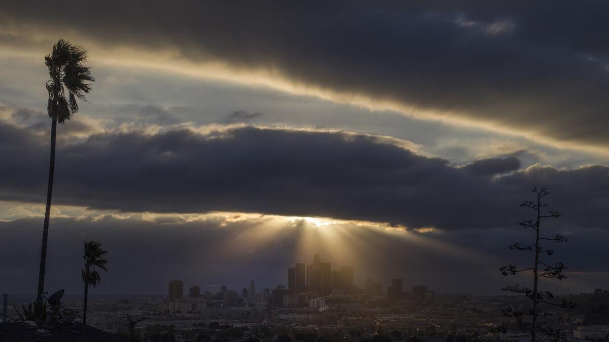
Biggest storm of the season could bring more devastation to California burn areas

- Share via
An atmospheric river that forecasters are billing as the biggest storm of the season is expected to drench Southern California beginning Tuesday night and will bring with it the potential for mud flows and widespread flooding, the National Weather Service said.
The storm, which is fueled by warm, western Pacific waters, will deliver nonstop rain across much of California and provide some relief to areas that have seen a resurgence in drought conditions.
Outside of storms in November and January, California has suffered an abysmal rainy season. State officials say it would take something along the lines of a “March miracle” of heavy rains to rescue the state from its water doldrums.
While it may not amount to a miracle, data show that recent precipitation has improved the state’s water supply.
“It has been an impressive March relative to an extraordinarily dry winter and preceding times,” said state climatologist Michael Anderson.
On March 1, California’s snowpack — a significant source of natural water storage — stood at about 25% of average. By Monday, it was nearly twice that at 48%.
Since Oct. 1, this is the only month when rainfall has met or exceeded its average across the entire Sierra Nevada. It has rained 8 or more inches in the northern Sierra and San Joaquin river basins and more than 5 inches in the Tulare Lake basin since the beginning of the month, according to the Department of Water Resources.
It has rained nearly 1 ½ inches in downtown L.A. this month, just shy of the historic average. The upcoming storm will likely push the area above that by the end of the week, according to forecasts.
But while the precipitation is a welcome addition to California’s water supply, the rain poses a more immediate danger for communities living beneath burn scars in Ventura and Santa Barbara counties, which just four months ago suffered wildfires.
The Thomas fire grew to become the state’s largest recorded wildfire and scorched the mountains around the Ojai Valley in Ventura County and mountains above Summerland and Montecito in Santa Barbara County. Some areas were turned into “moonscapes” that singed vegetation to the root.
Those areas now repel water and are extremely susceptible to mud and debris flows because there is nothing holding the soil in place. If it rains at a rate of more than a half-inch an hour — and current forecasts say the storm holds the potential for twice that rate on Wednesday night — those hillsides could dissolve into rivers of mud.
“It’s rain for 36 hours. It’s going to be consistent, but vary in intensity,” said weather specialist Stuart Seto of the National Weather Service in Oxnard. “This is going to be one of the greatest storms of the winter.”
Seto said it’s impossible to predict exactly how big, where and when a heavy storm cell would develop and trigger a mud flow. In January, a once-in-200-year event unfolded in the middle of the night when a storm cell met the south-facing foothills above Montecito and dropped a half-inch of rain in five minutes.
The ensuing debris flows overwhelmed Montecito’s creeks and buried the town, killing at least 21 people and destroying more than 100 homes.
Authorities in Santa Barbara County this week are on high alert and warned residents below the Thomas, Sherpa, Whittier and Alamo fire areas to be ready to evacuate.
Rob Lewin, director of the Santa Barbara County Office of Emergency Management, said in a statement that this week’s deluge will be the “most powerful storm” since that Jan. 9 event. The storm poses less of a danger in Northern California’s wine country, where fires ravaged the region in October, because there will be less rain there, experts said.
But there will also be risks in areas where land wasn’t burned, due to steady and sustained rain.
“Any place that has those steep hillsides with rocks and things, any low-lying areas are going to be a concern with rain,” Seto said.
Hillside neighborhoods in Burbank could see debris flows and Topanga Canyon could shut down as it did last week when a light storm triggered a hillside to collapse onto the road, marooning cars. Southern Californians should have an emergency kit prepared in case they lose power in their home or in case they’re stranded on a road or highway due to flooding or slides, Seto said.
The storm is forecast to bring 2 to 4 inches of rain to the coasts and valleys starting Tuesday evening and 4 to 6 inches along local foothills and mountains. Some mountains could receive up to 8 inches of rain between Tuesday and Thursday, Seto said.
For breaking California news, follow @JosephSerna on Twitter.
UPDATES:
1:45 p.m.: This article was updated with comments from the state climatologist.
This article was originally published at 12:40 p.m.
More to Read
Sign up for Essential California
The most important California stories and recommendations in your inbox every morning.
You may occasionally receive promotional content from the Los Angeles Times.


