First El Niño rain hits L.A.; bigger storms later in the week
- Share via
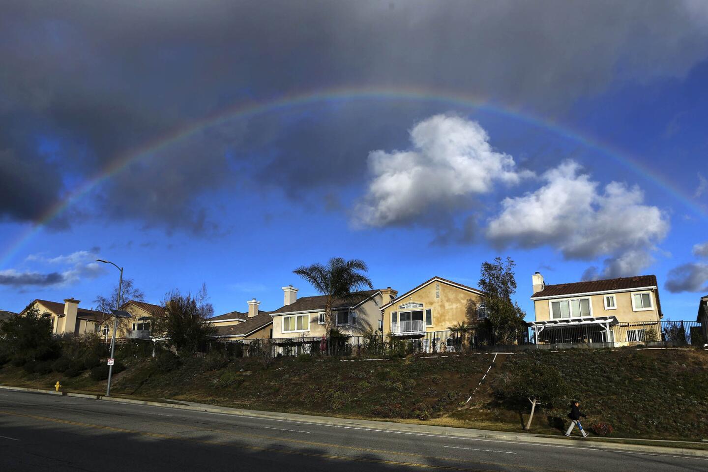
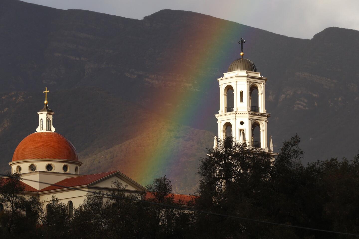
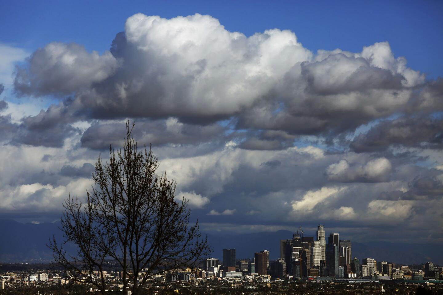
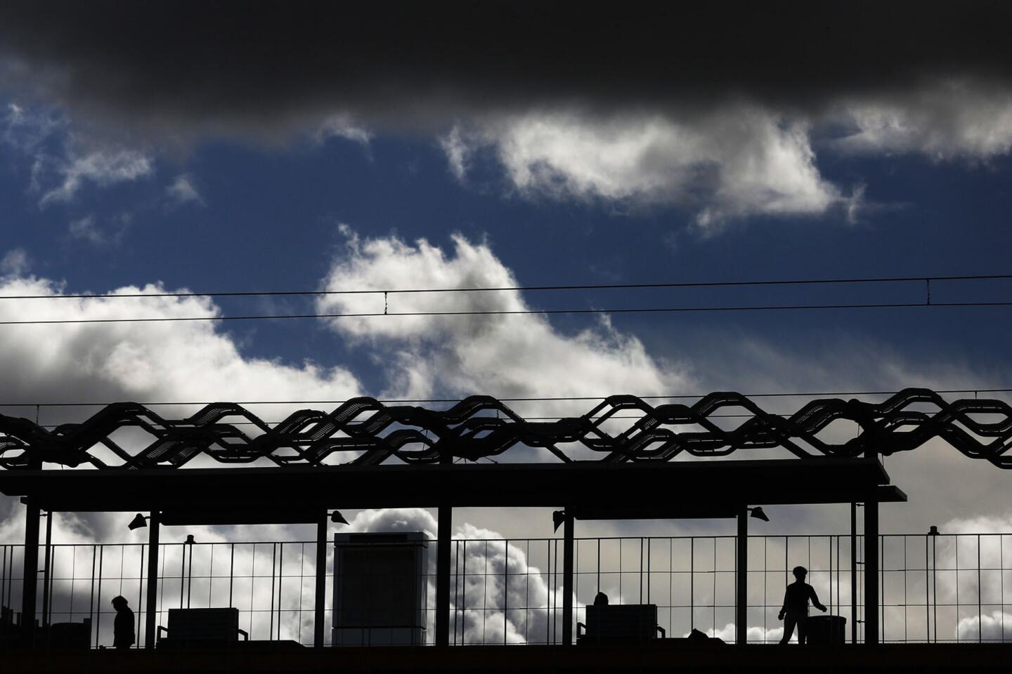
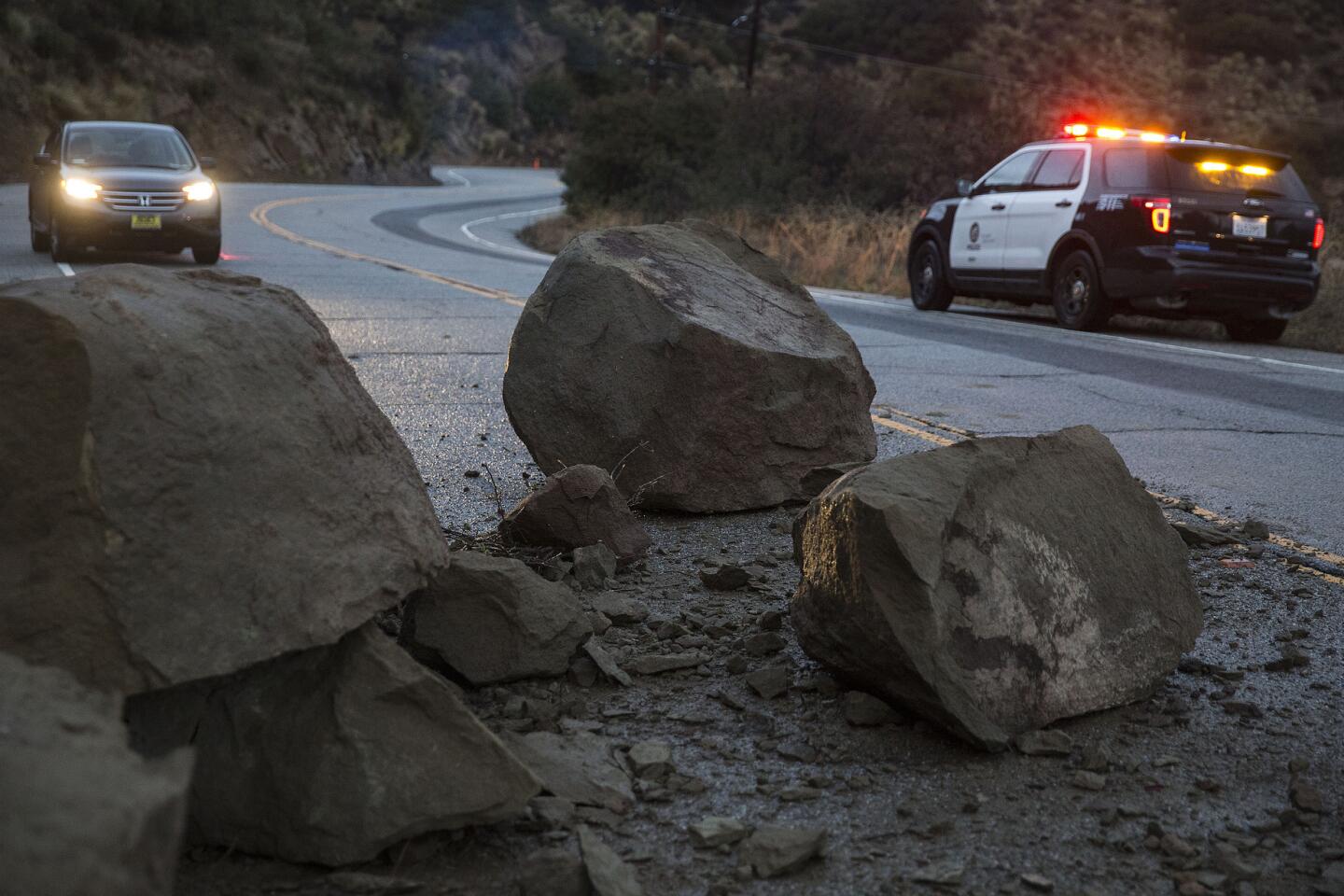
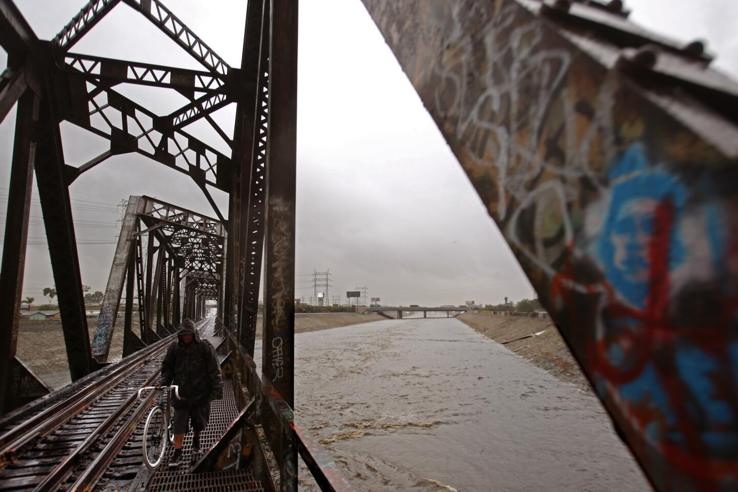
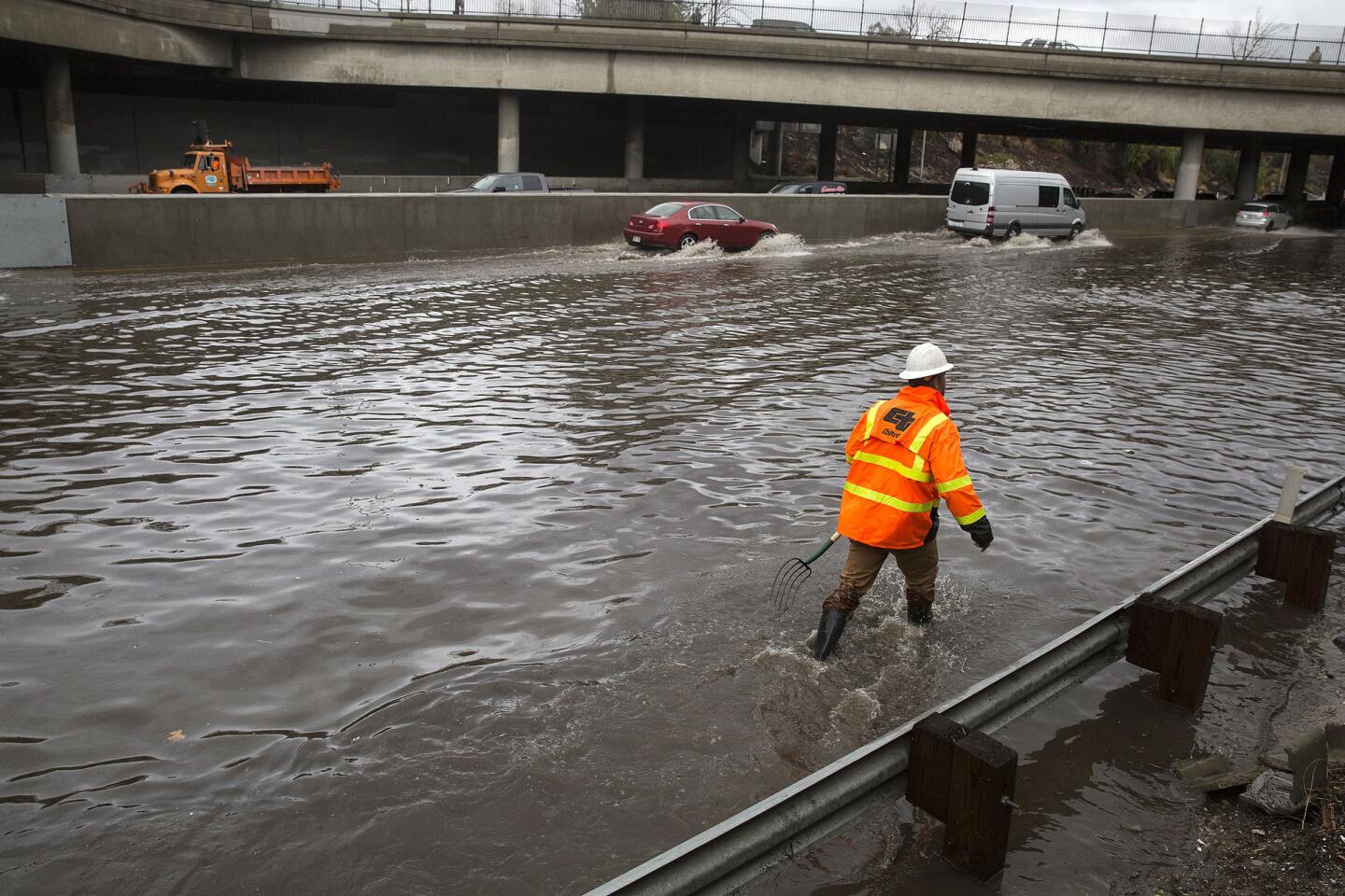
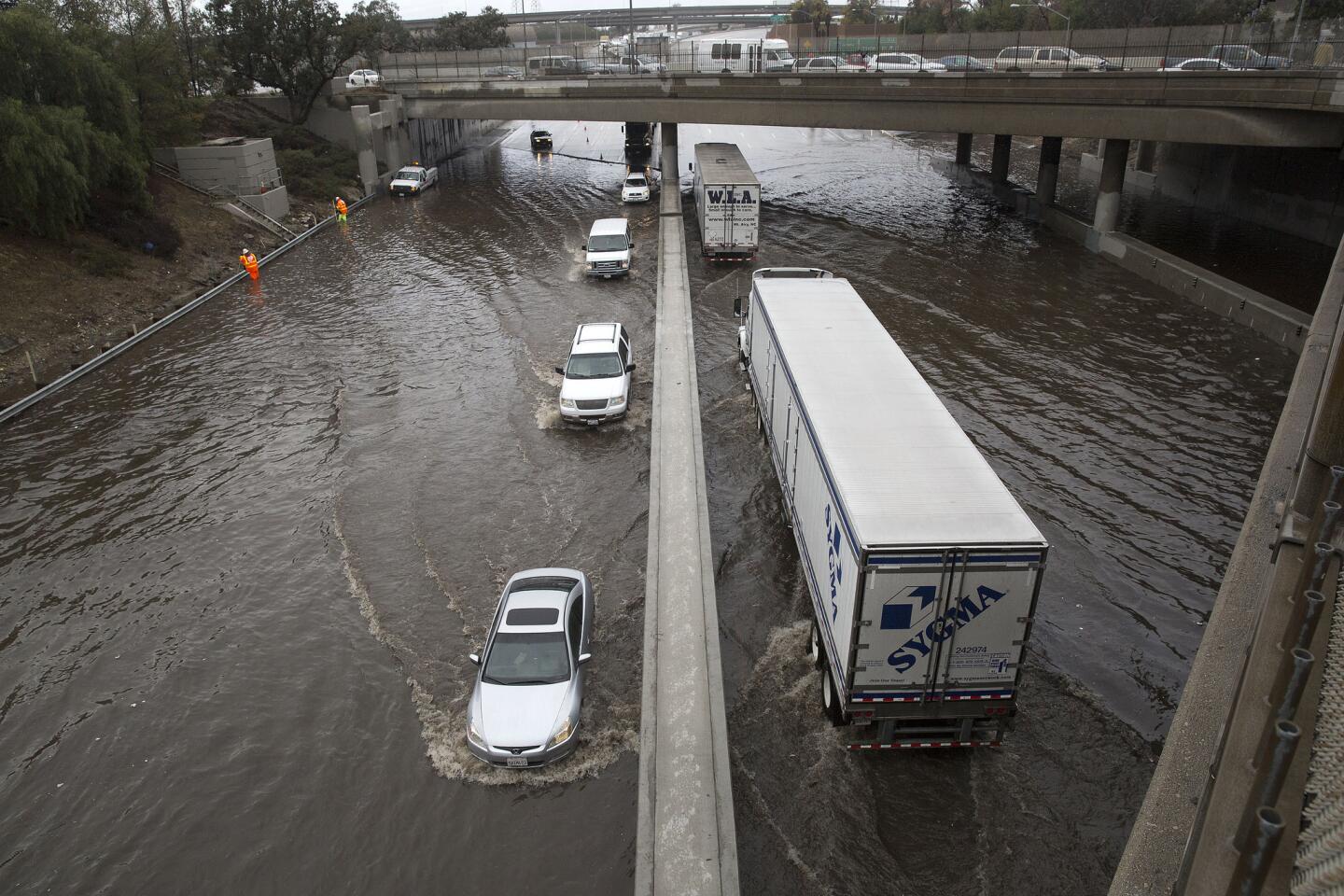
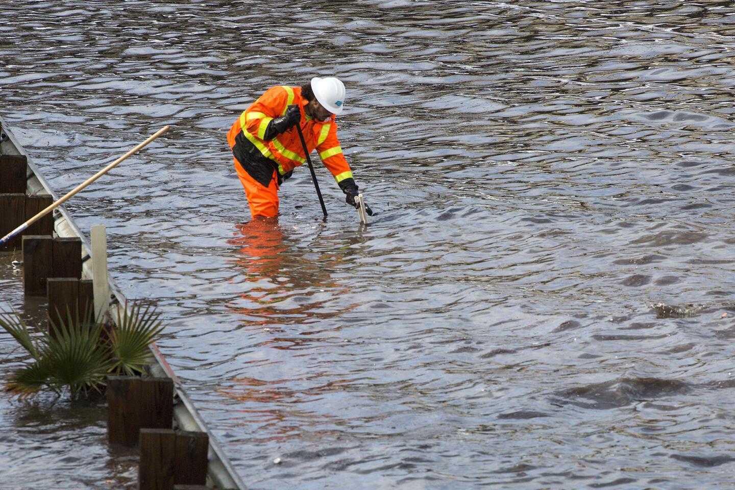
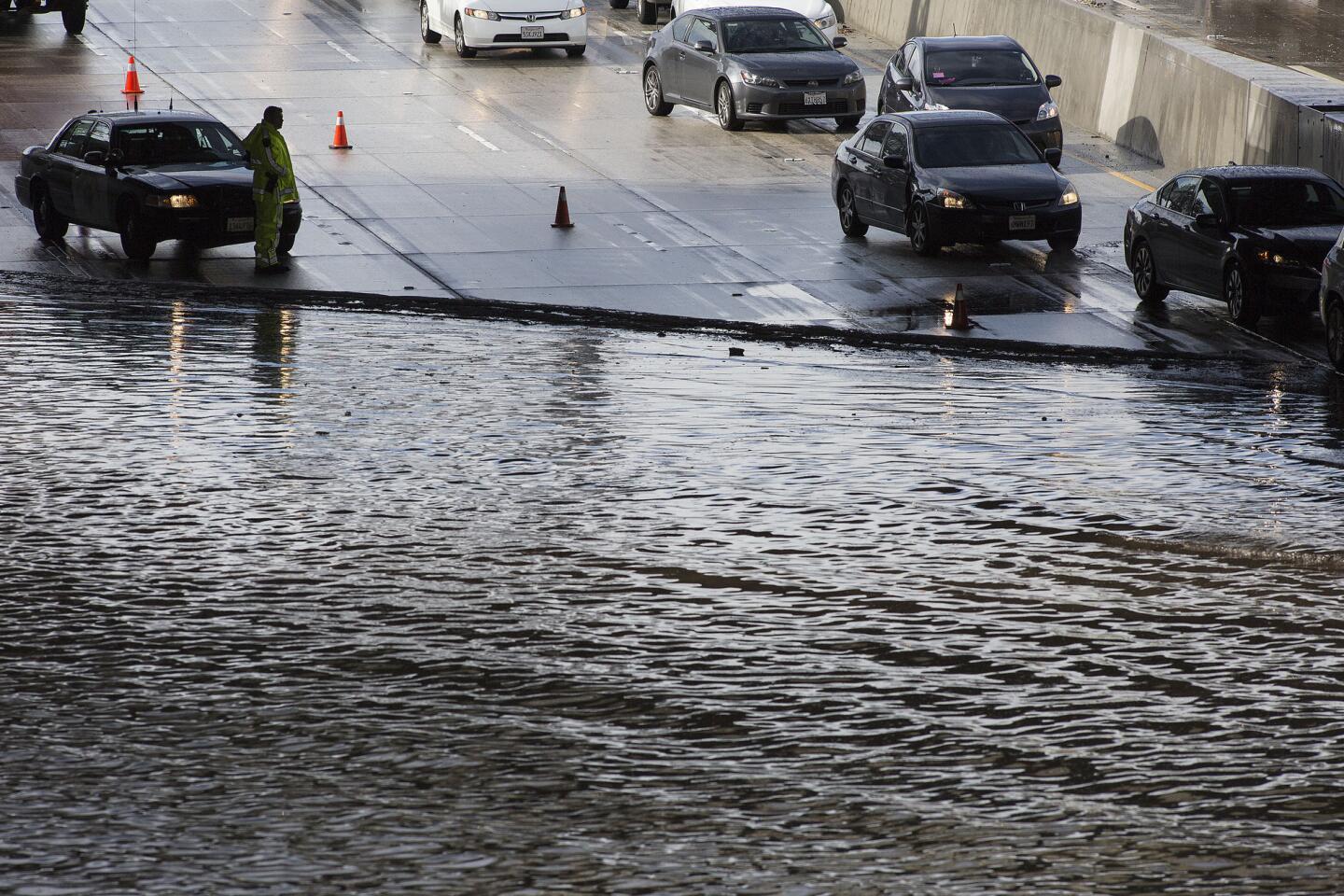
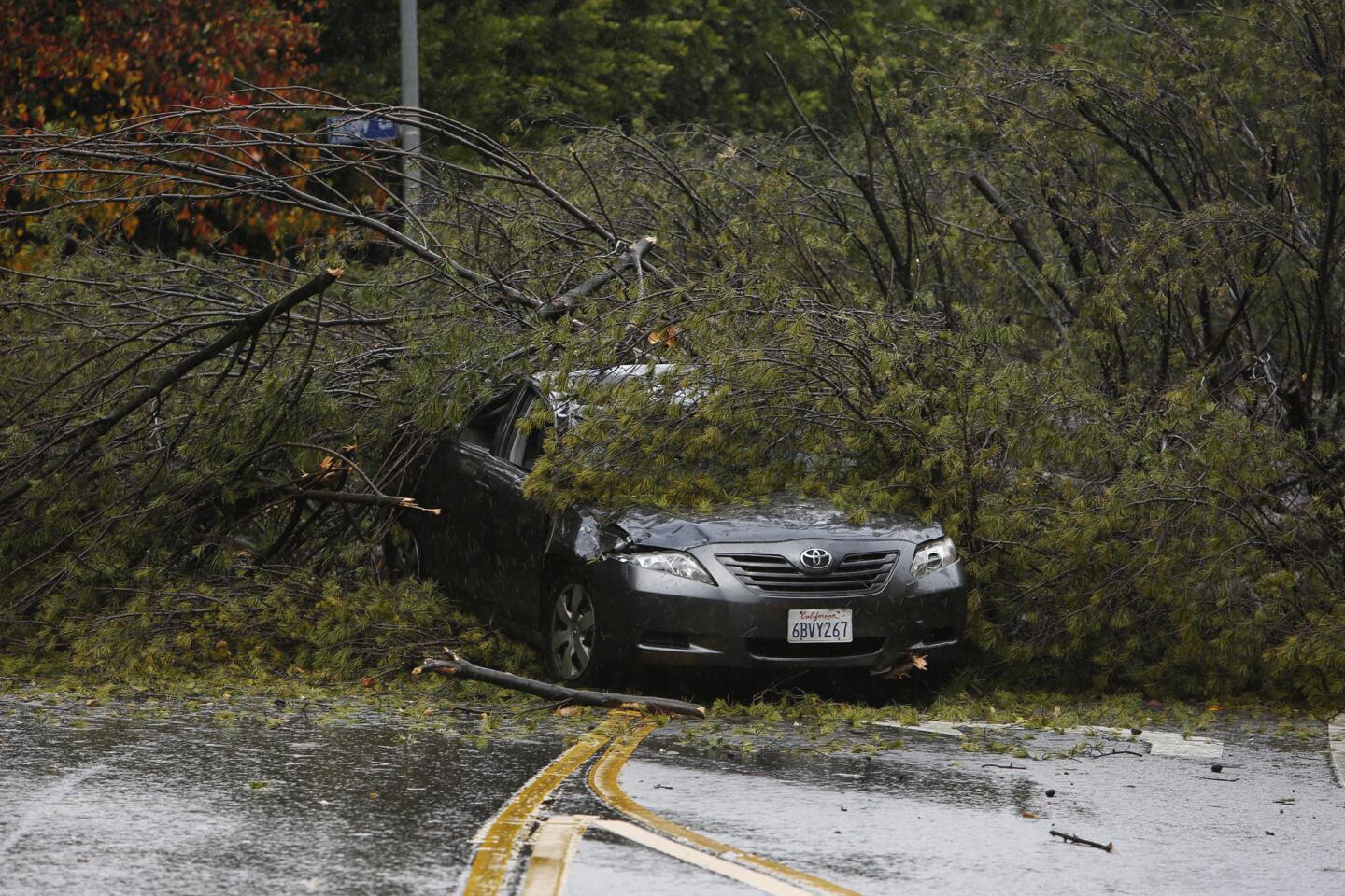
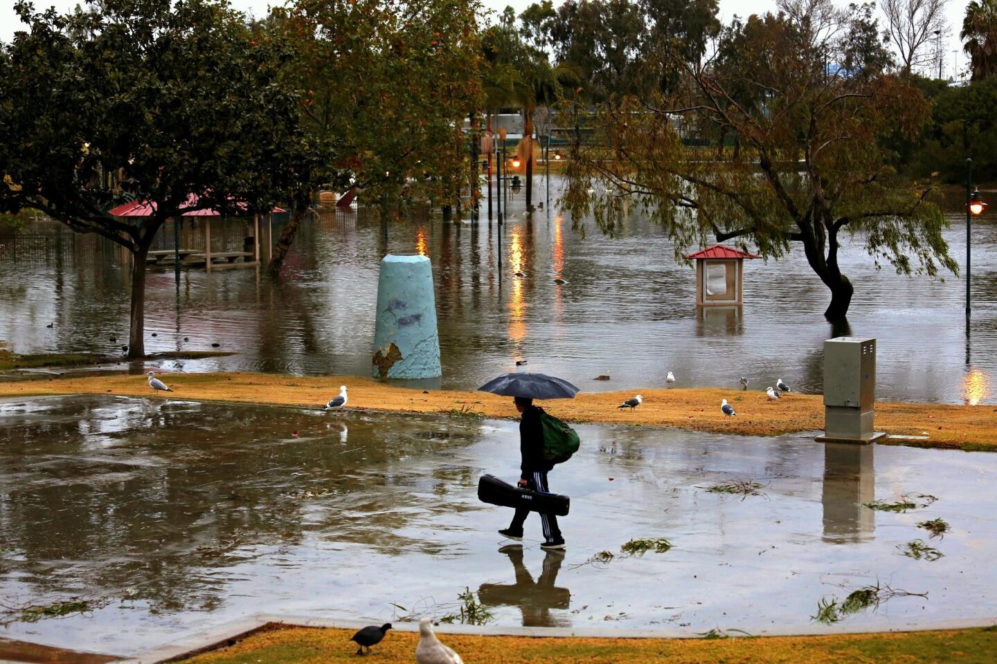
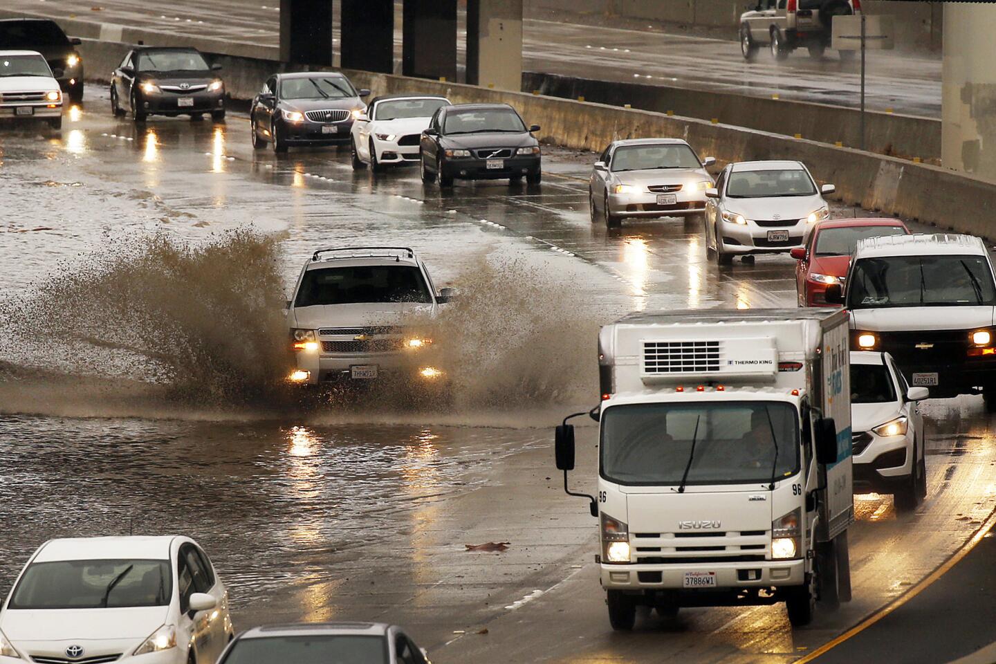
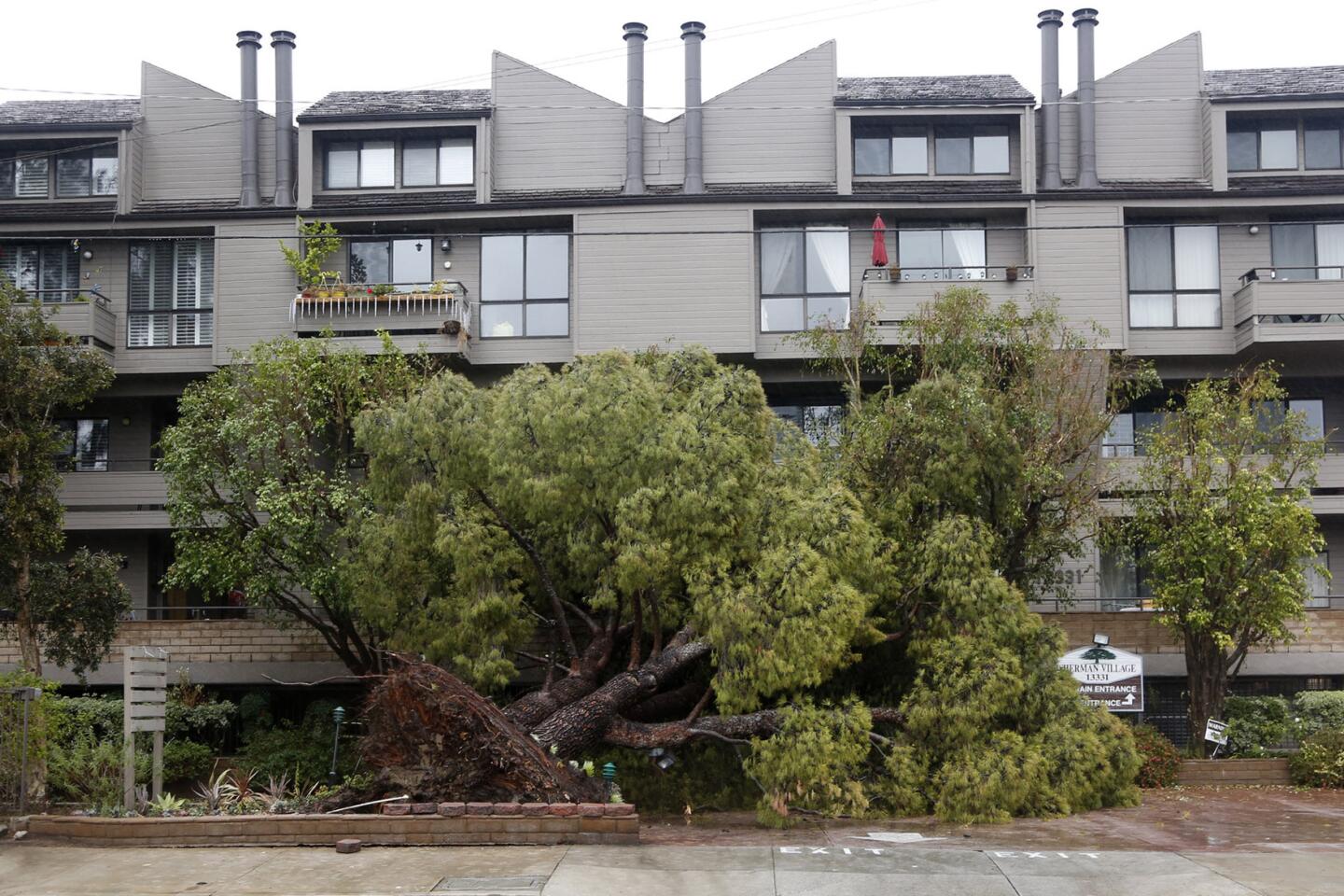
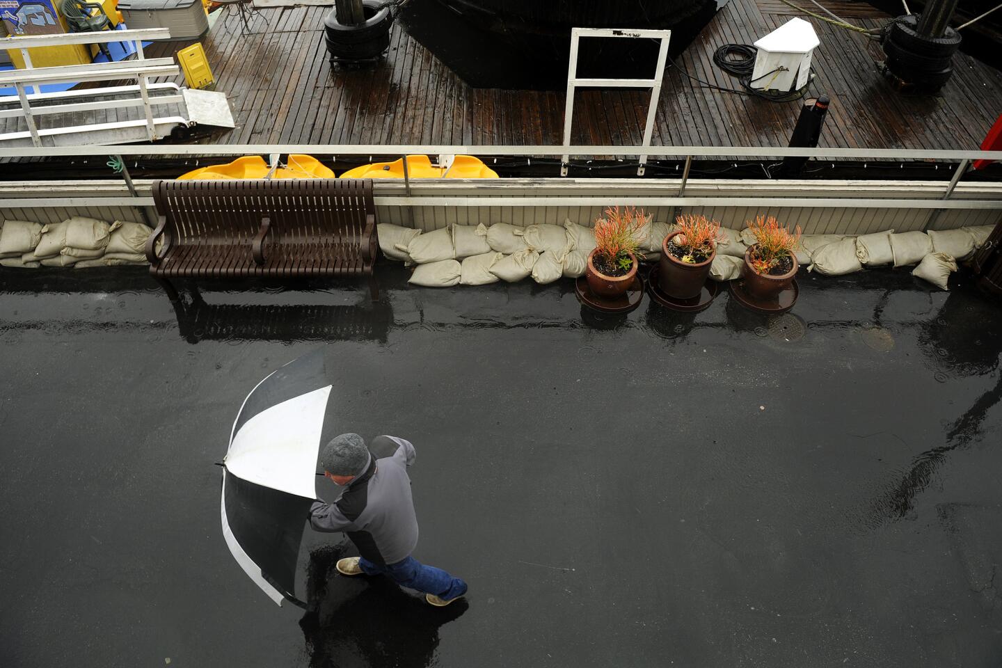
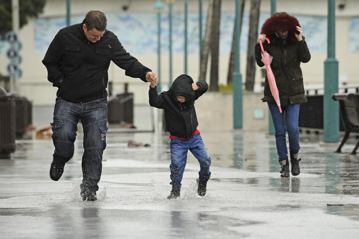
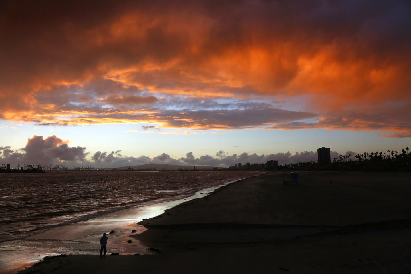
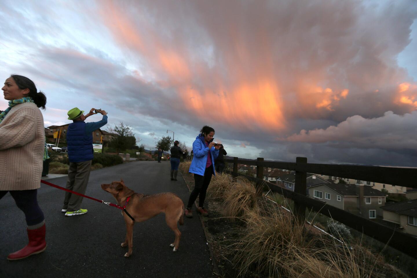
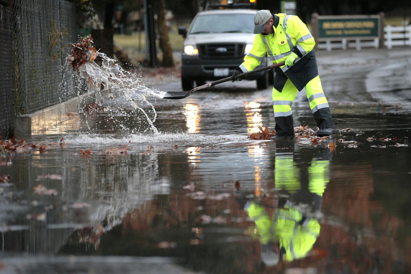
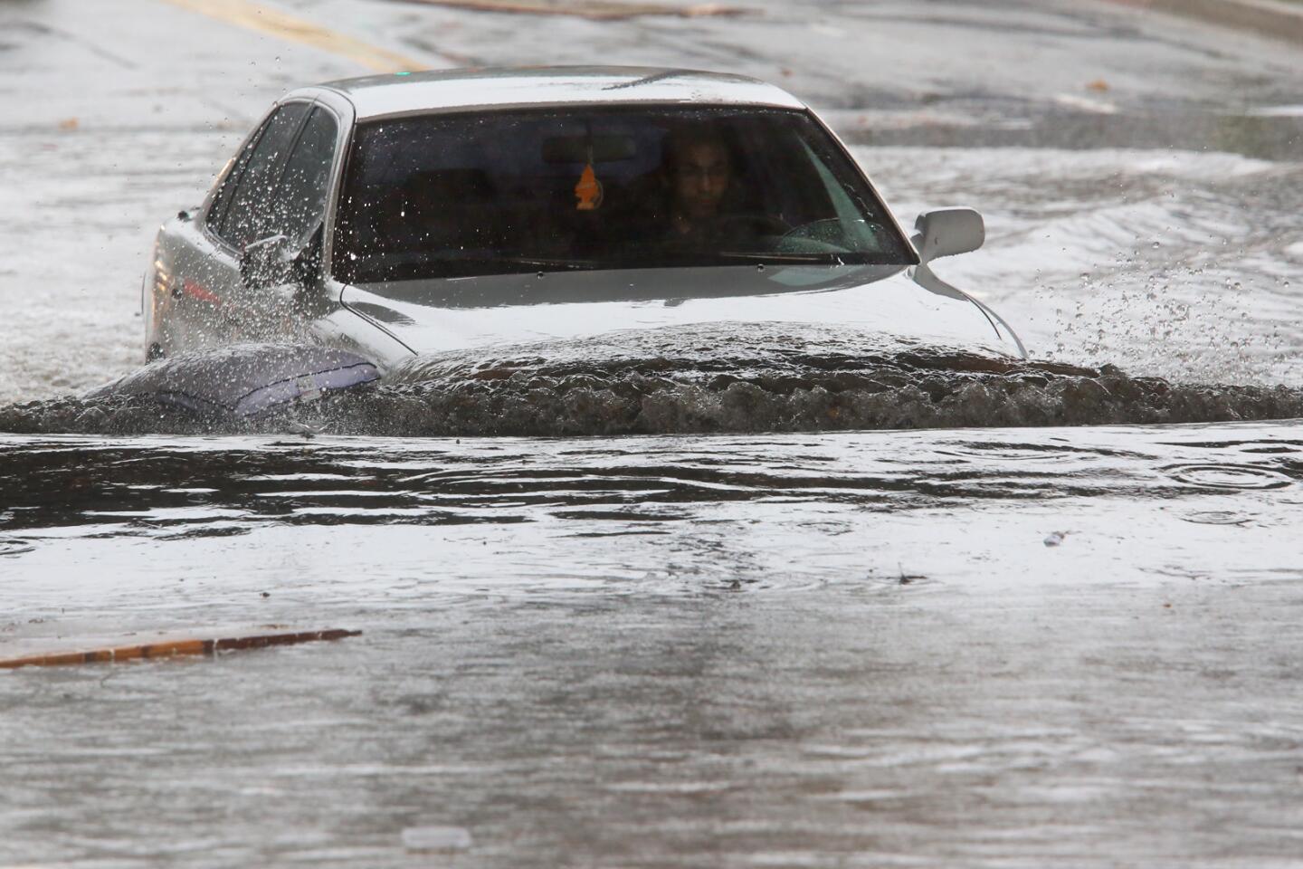
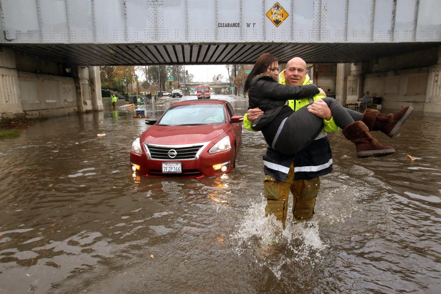
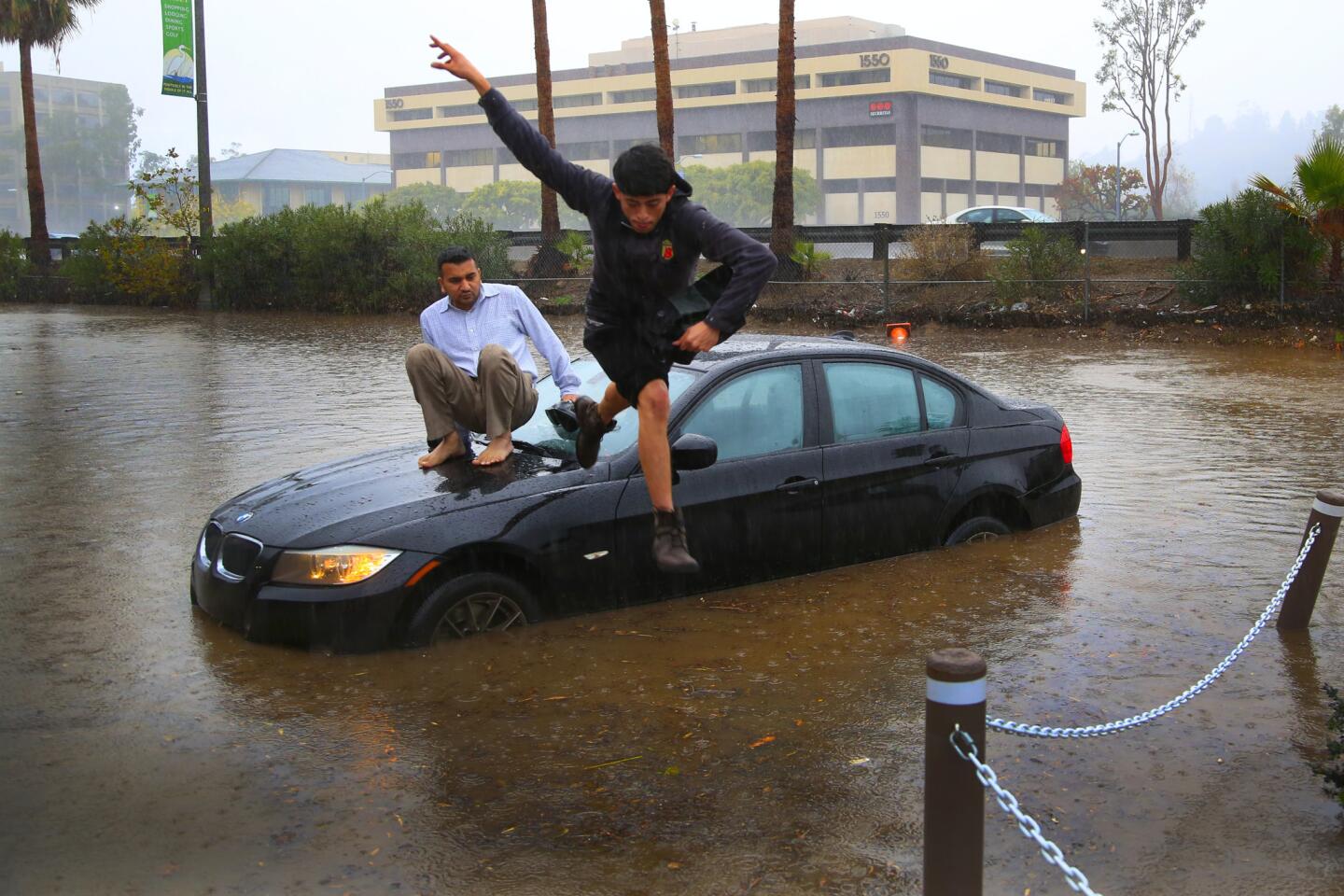
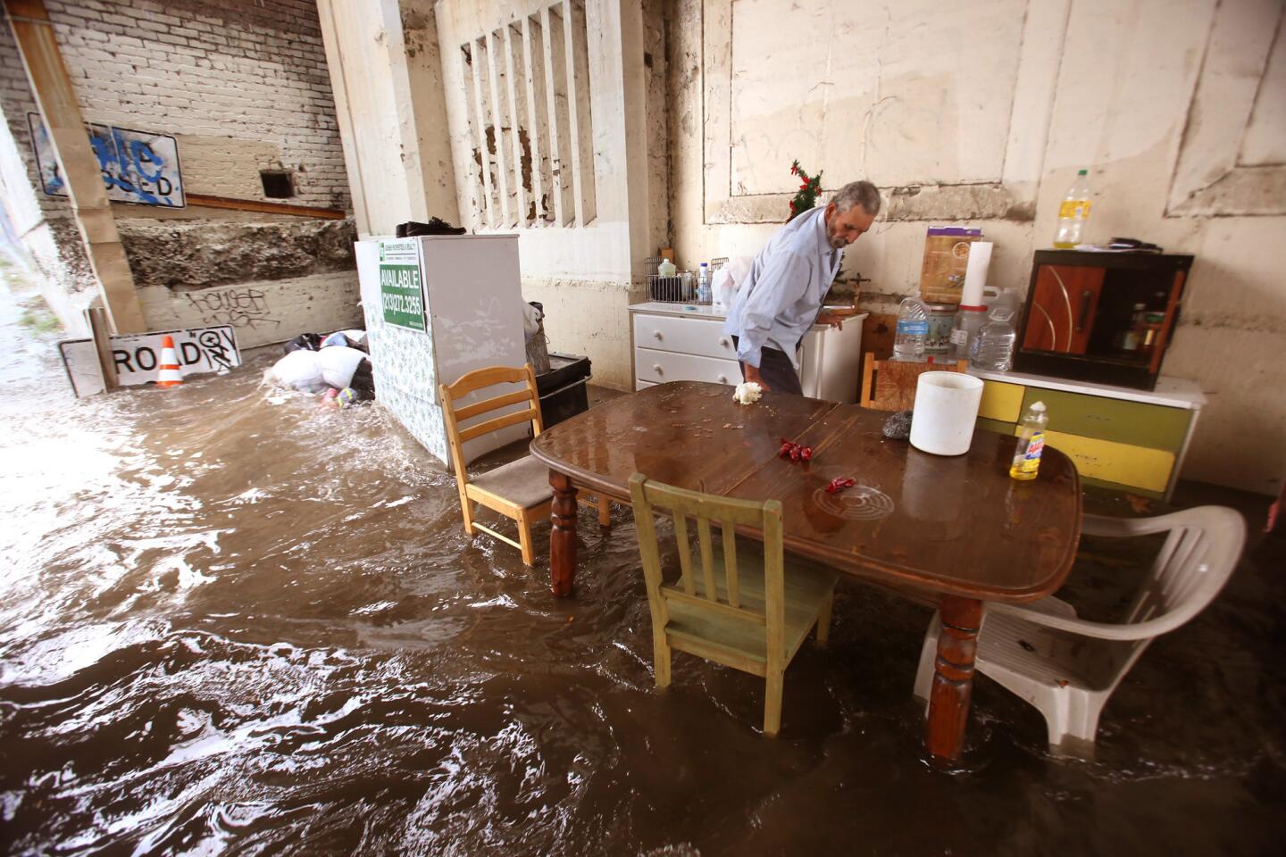
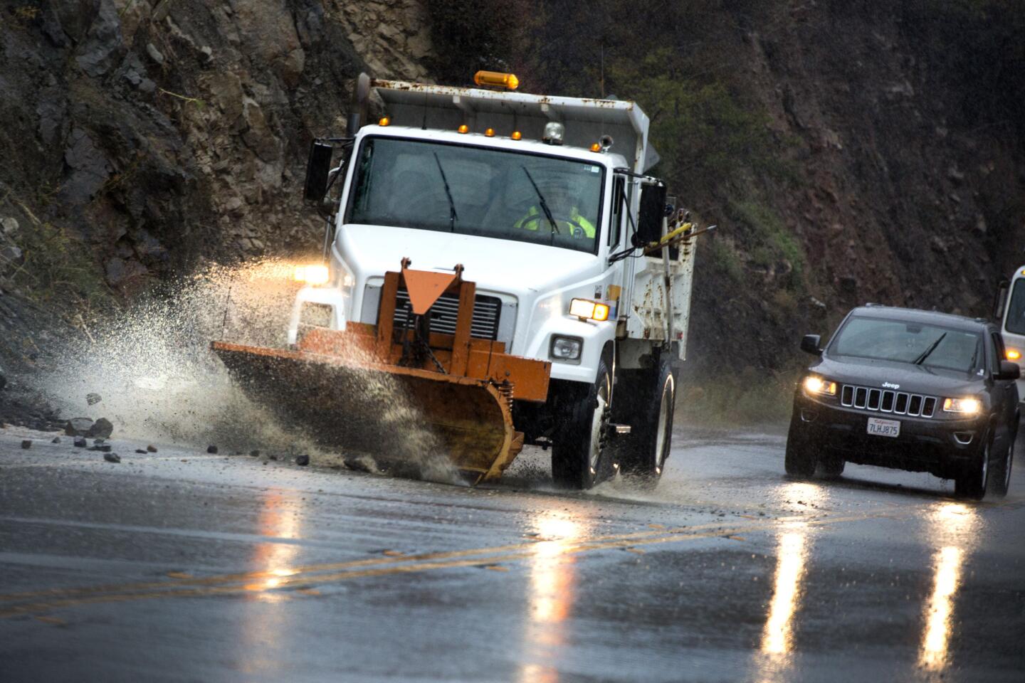
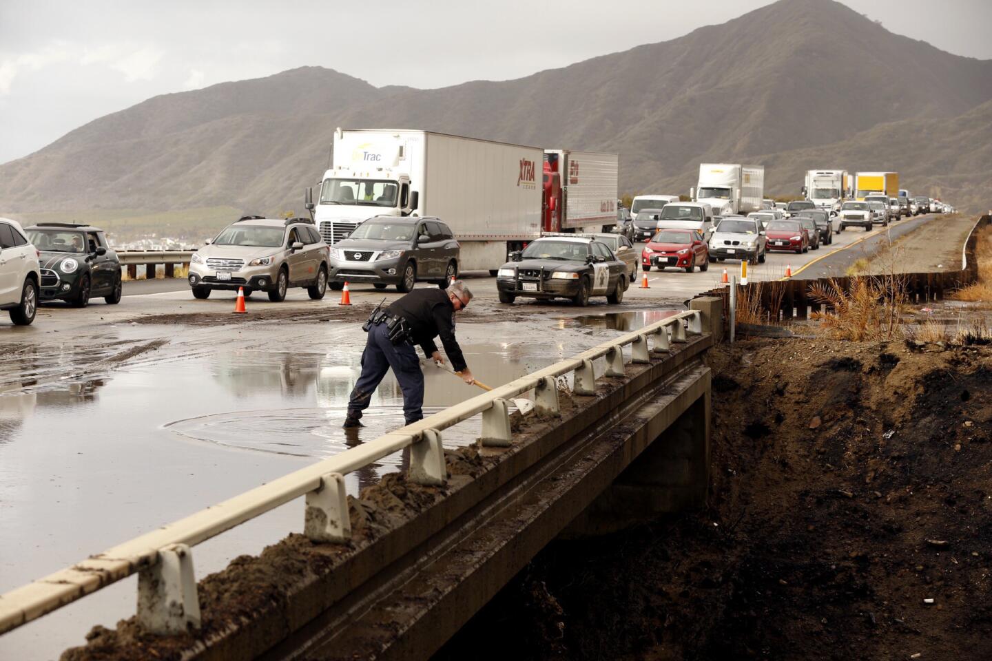
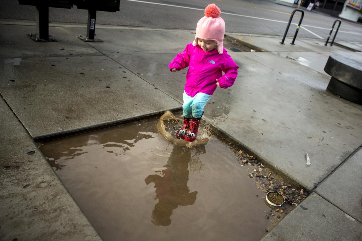
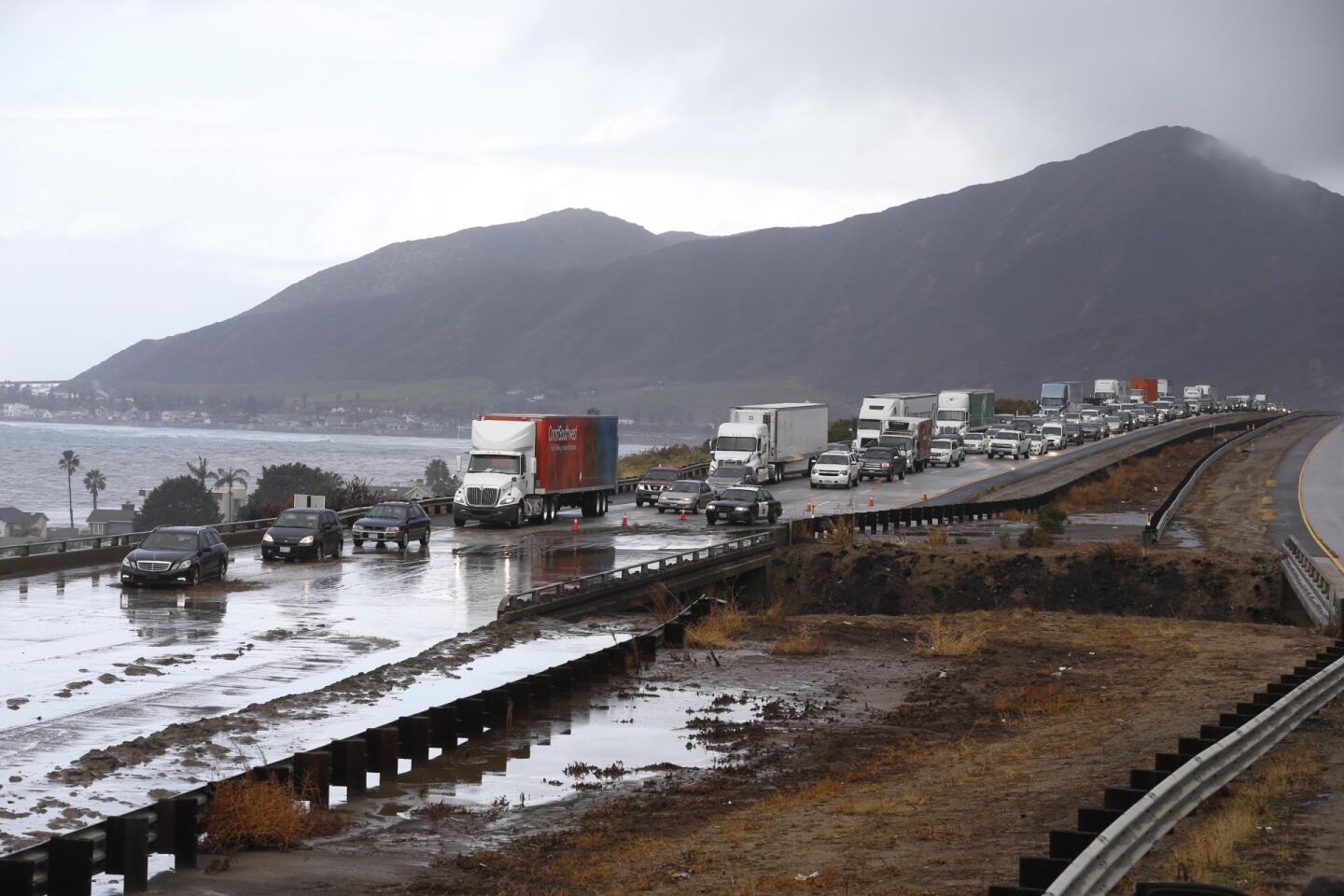
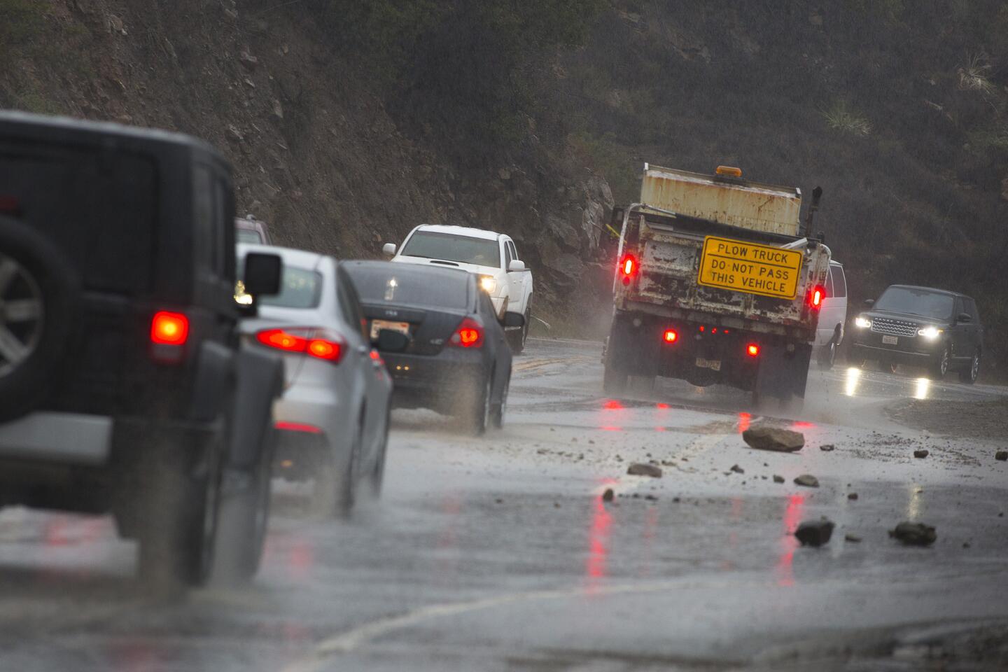
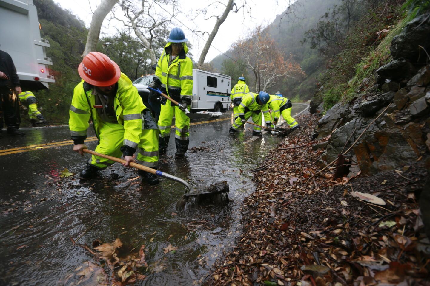
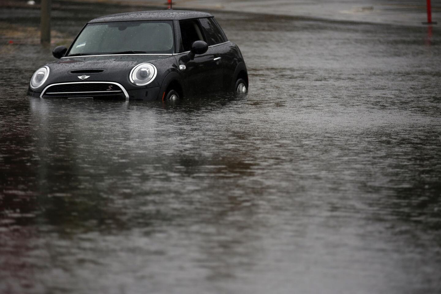
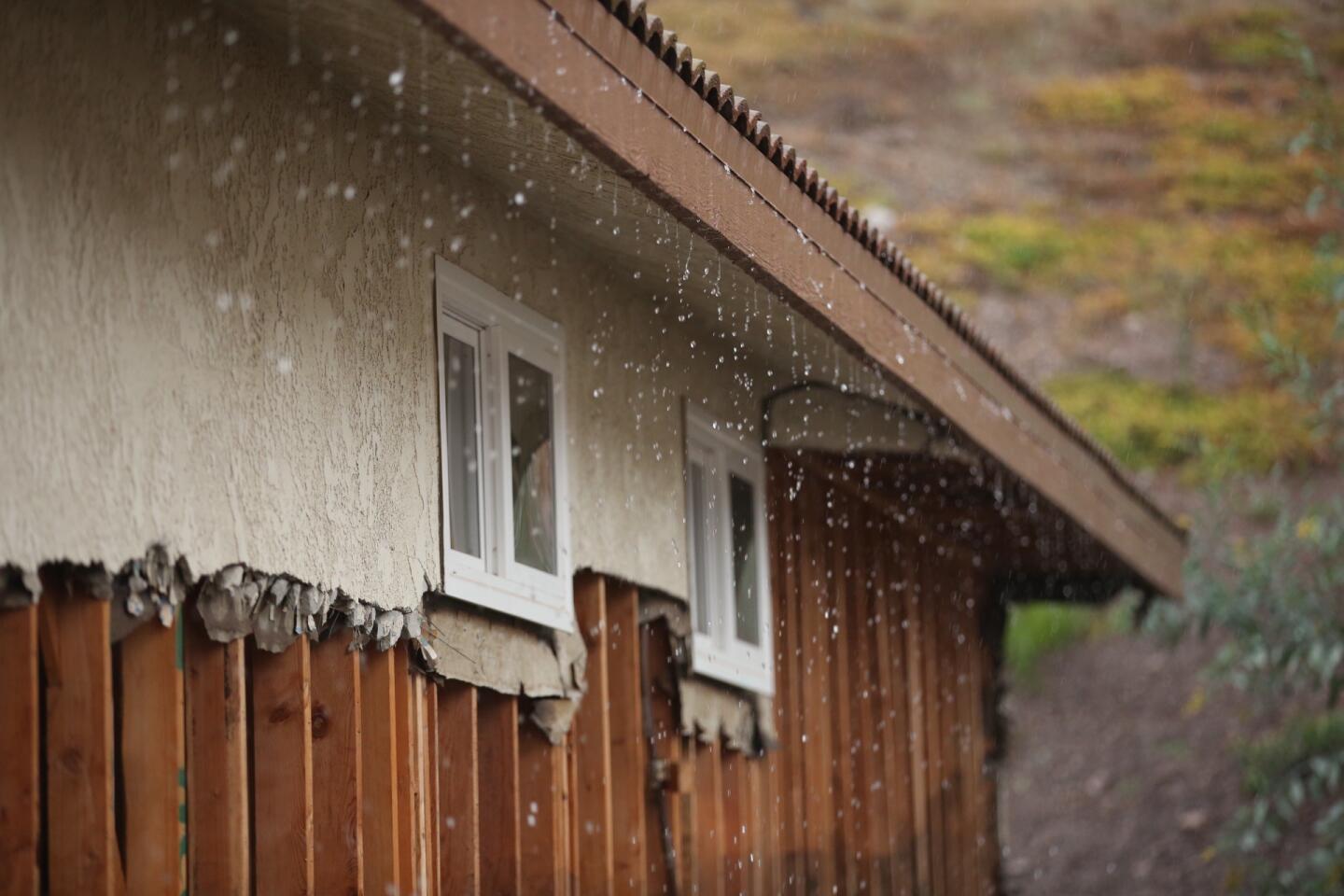
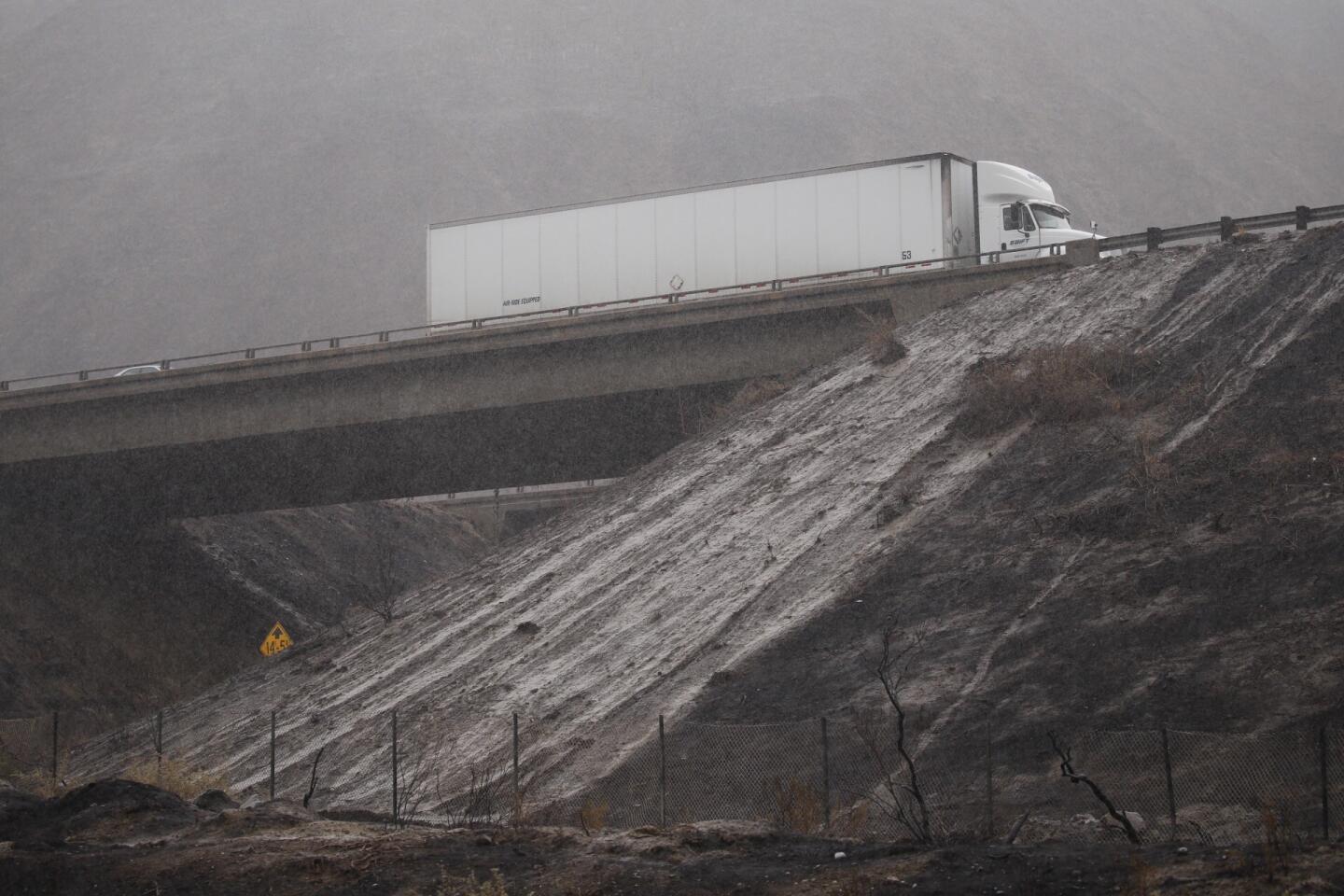
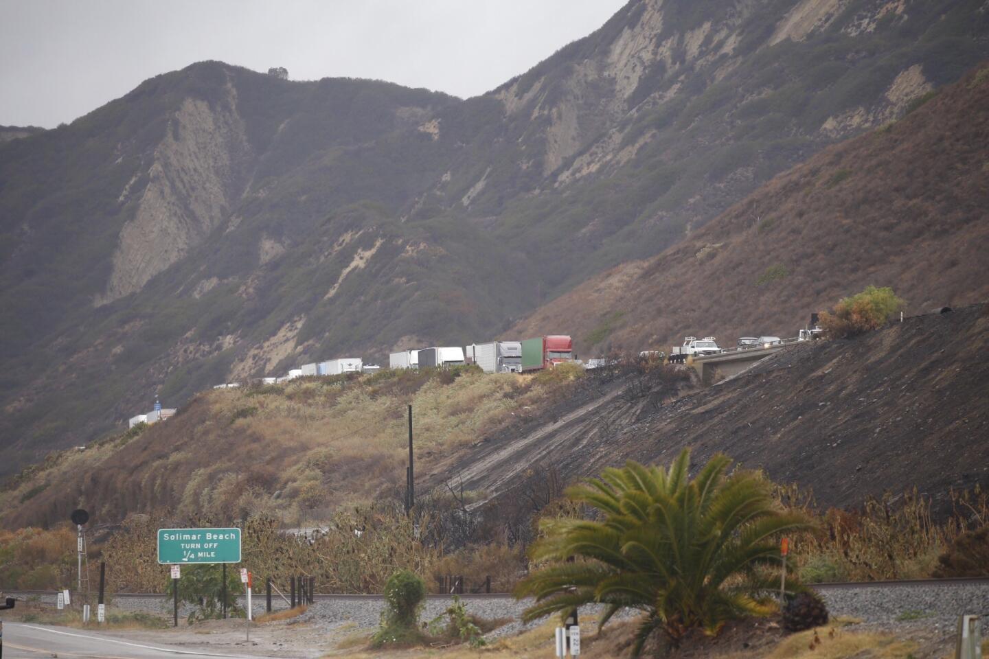
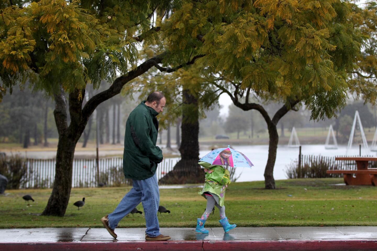
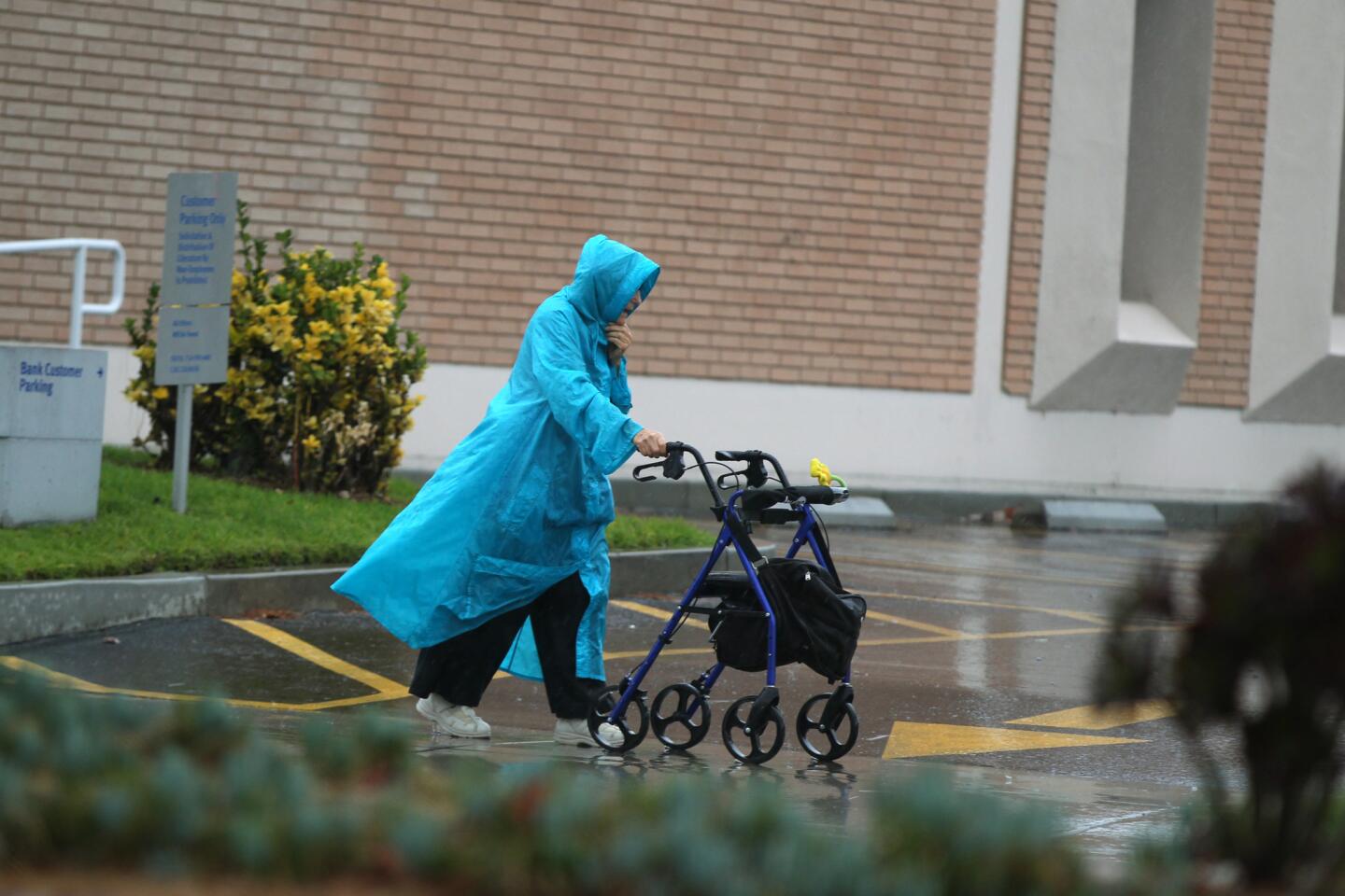
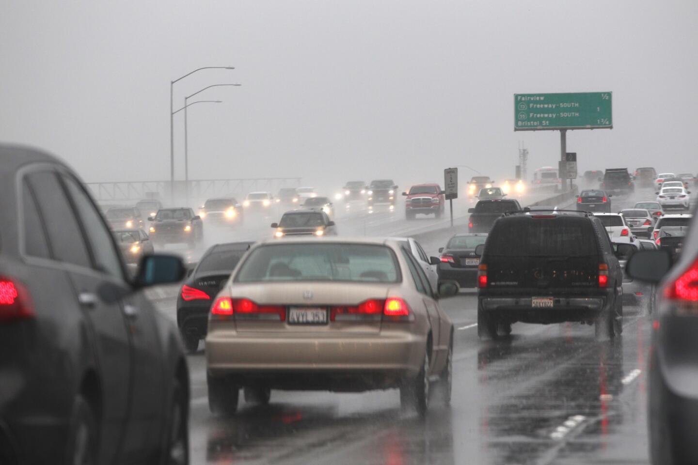
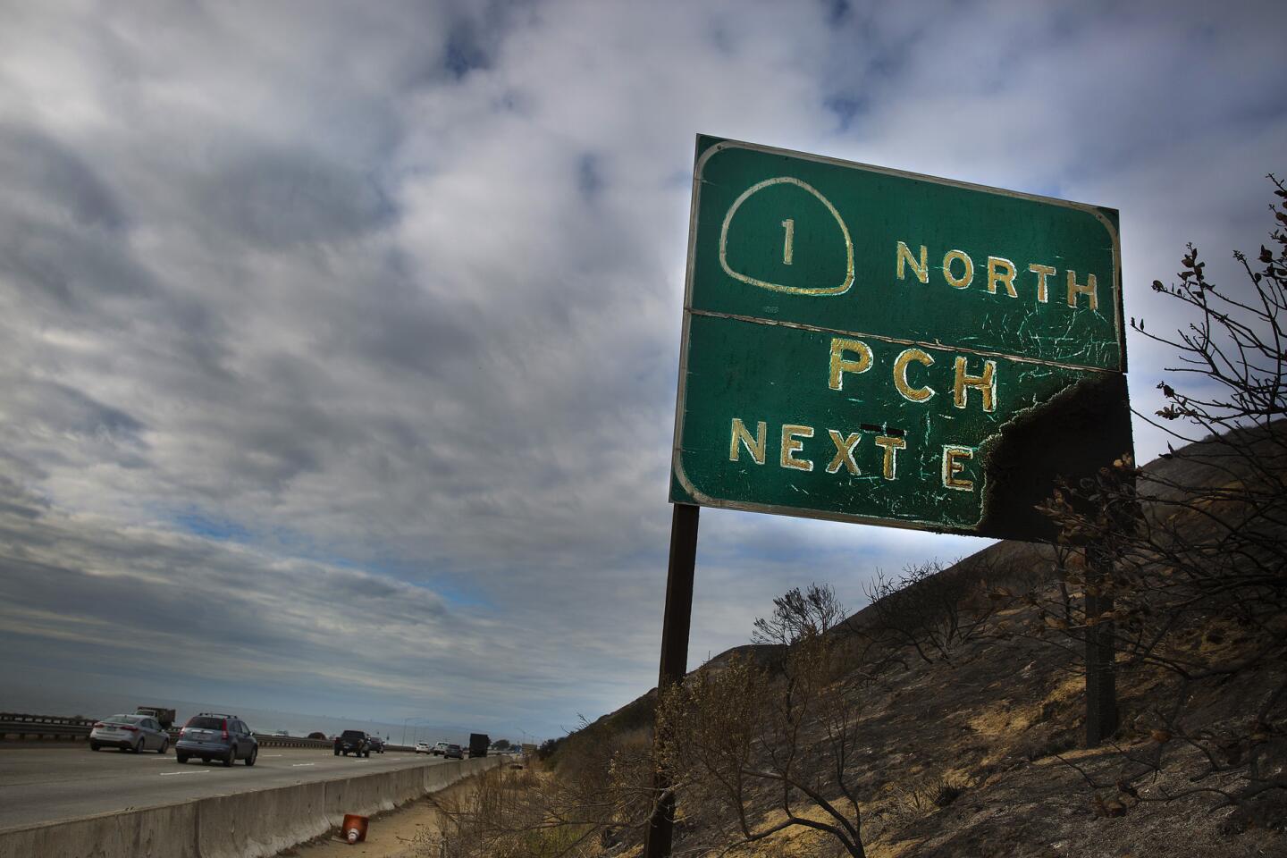
The first of a series of El Niño-related storms hit Southern California on Monday, drenching highways and soaking potentially unstable hillsides, authorities said.
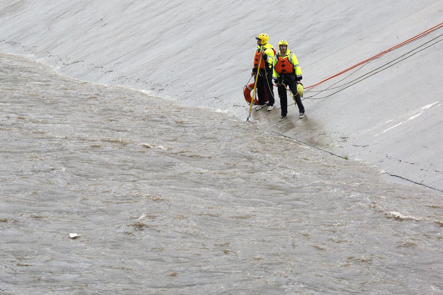
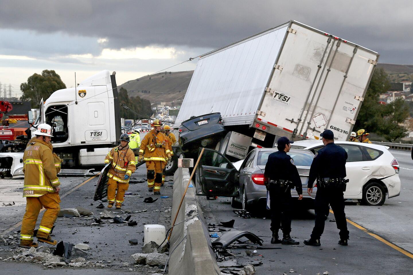
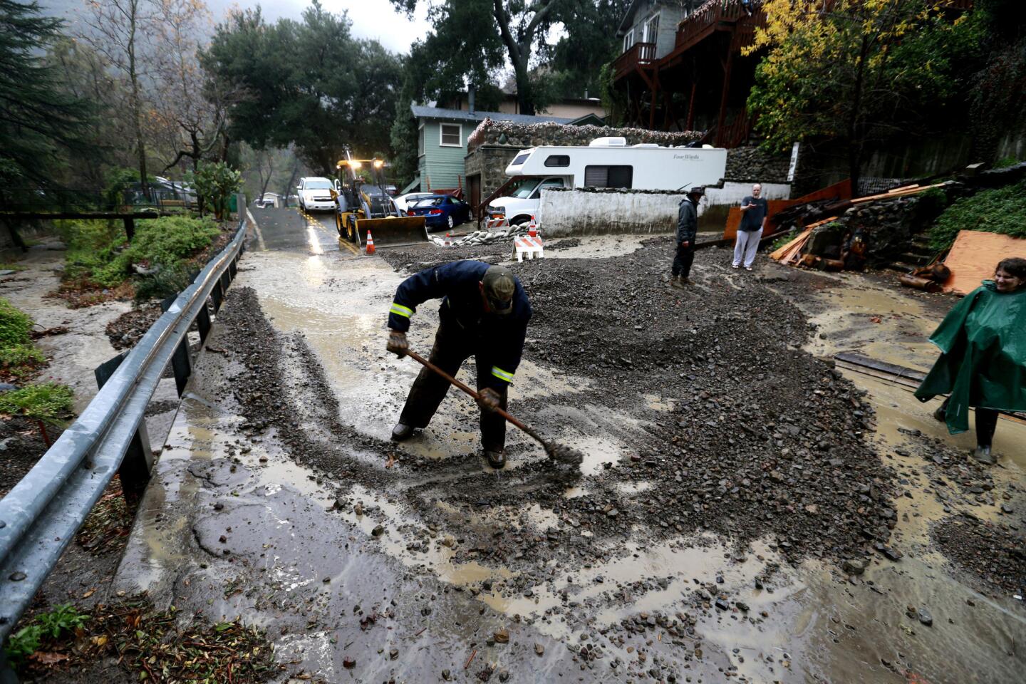
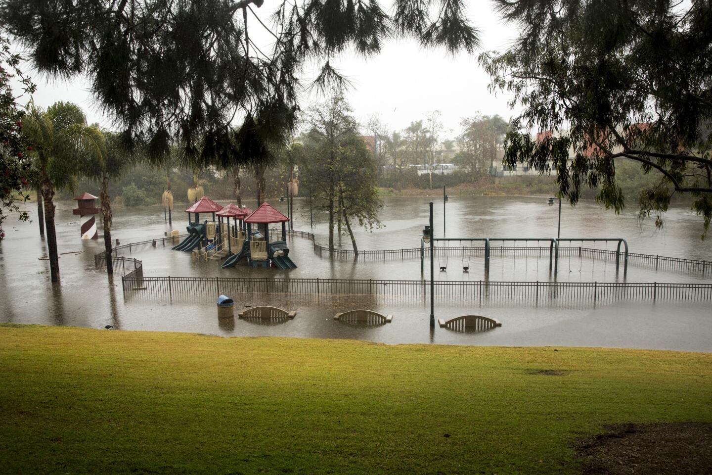
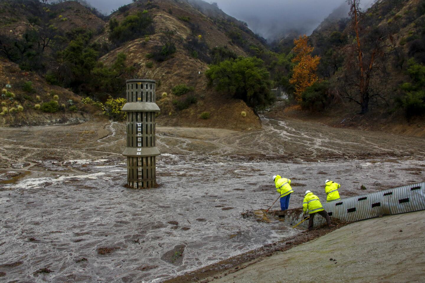
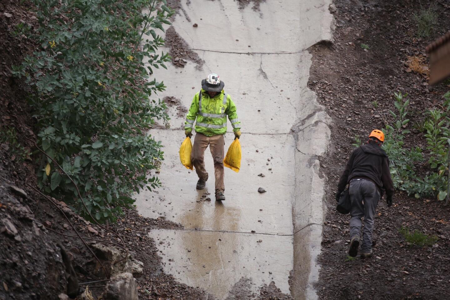
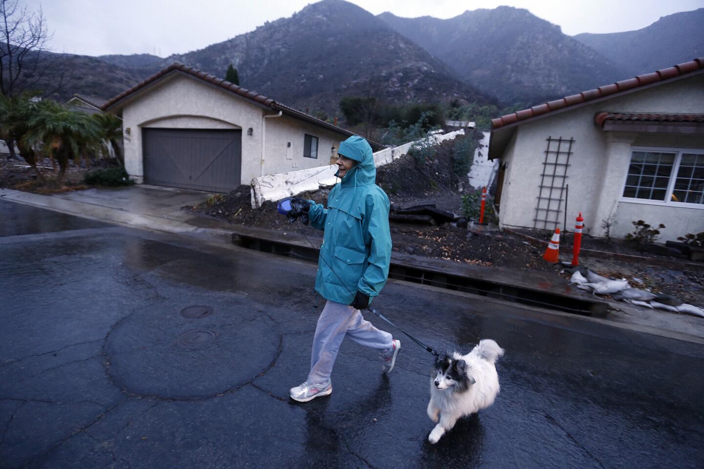
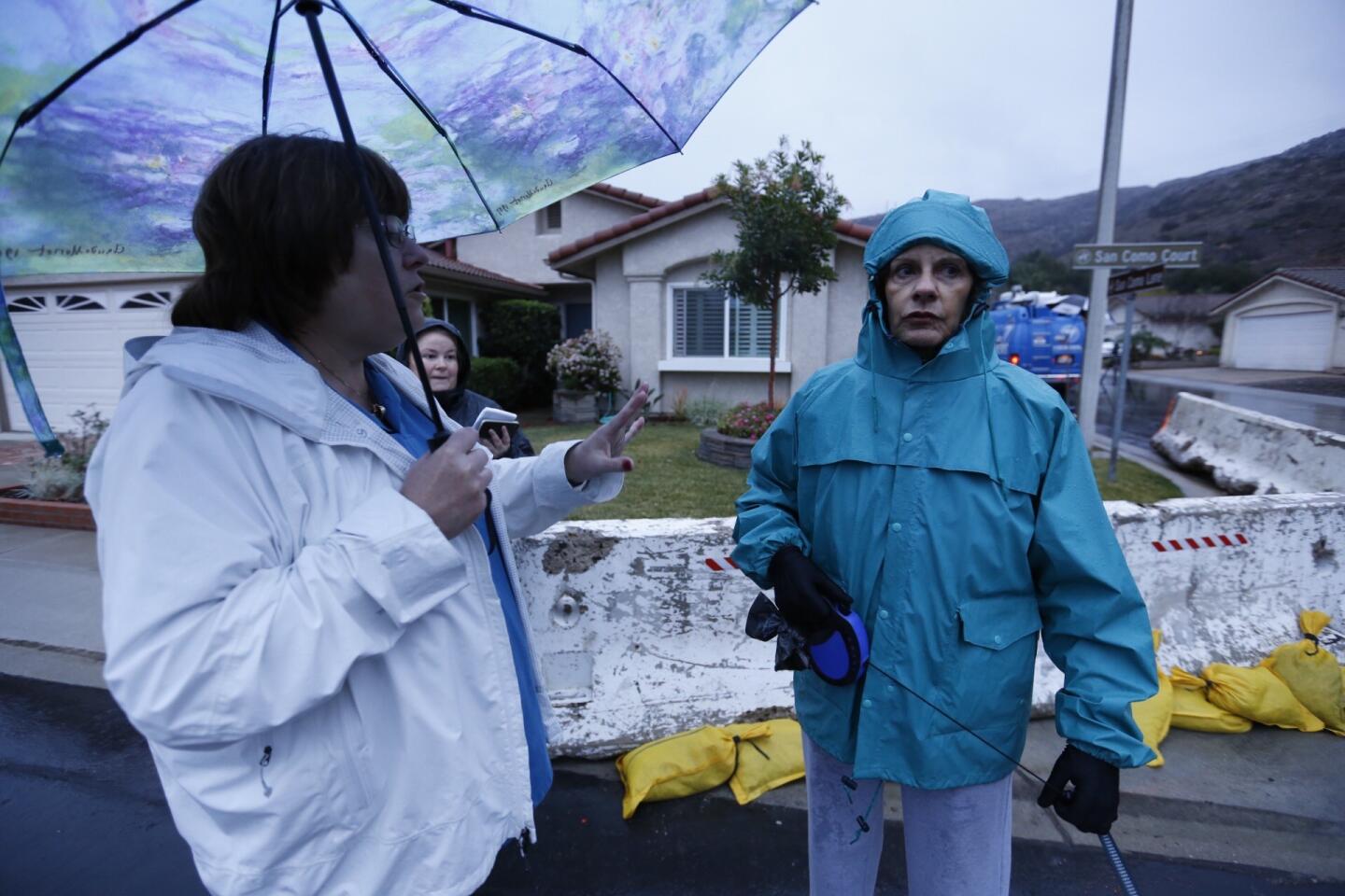
Though there were only a few crashes reported on the freeways and no reports of significant flooding, cities along the Angeles National Forest foothills warned residents to begin preparing for a weeklong deluge that could lead to mud flows.
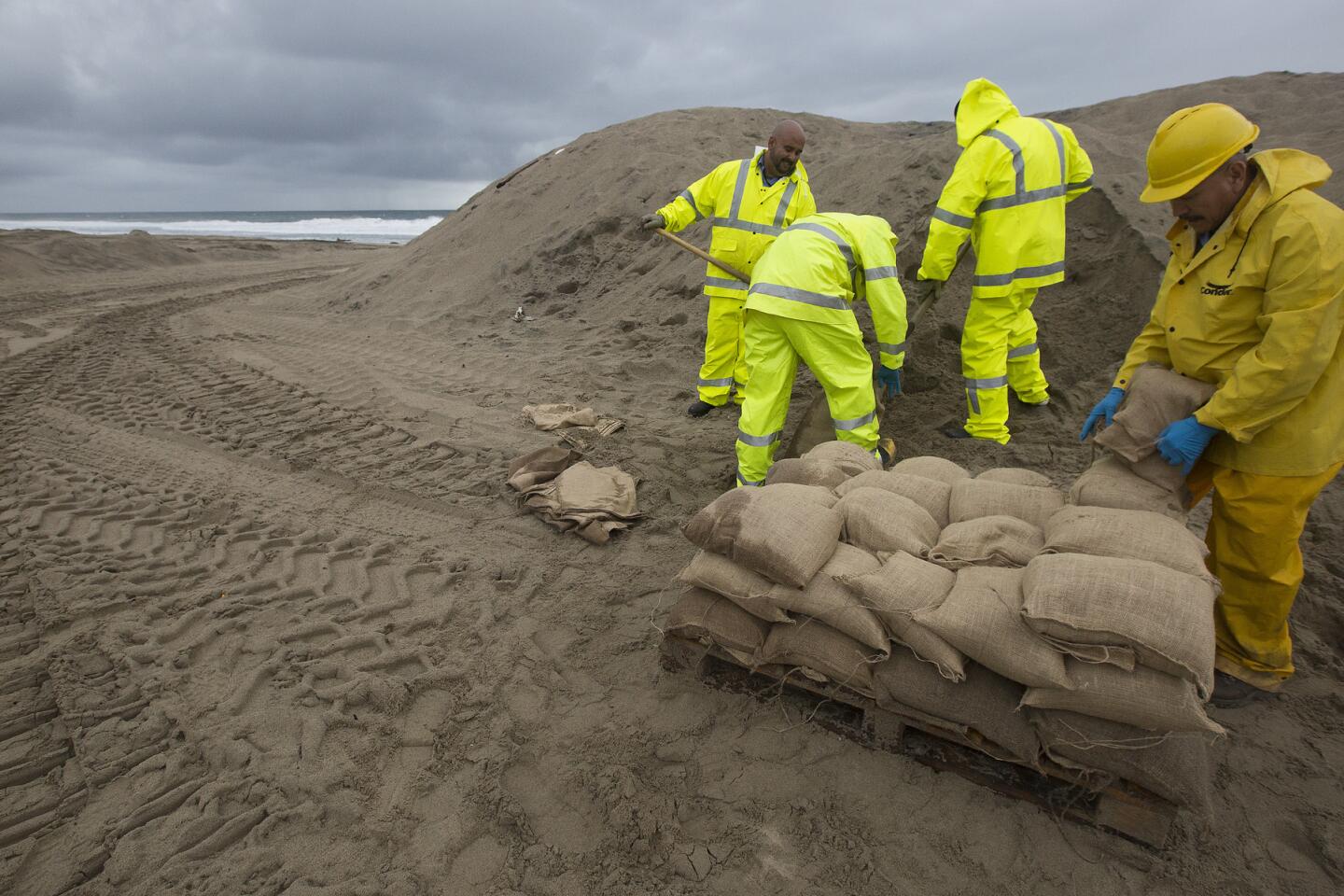
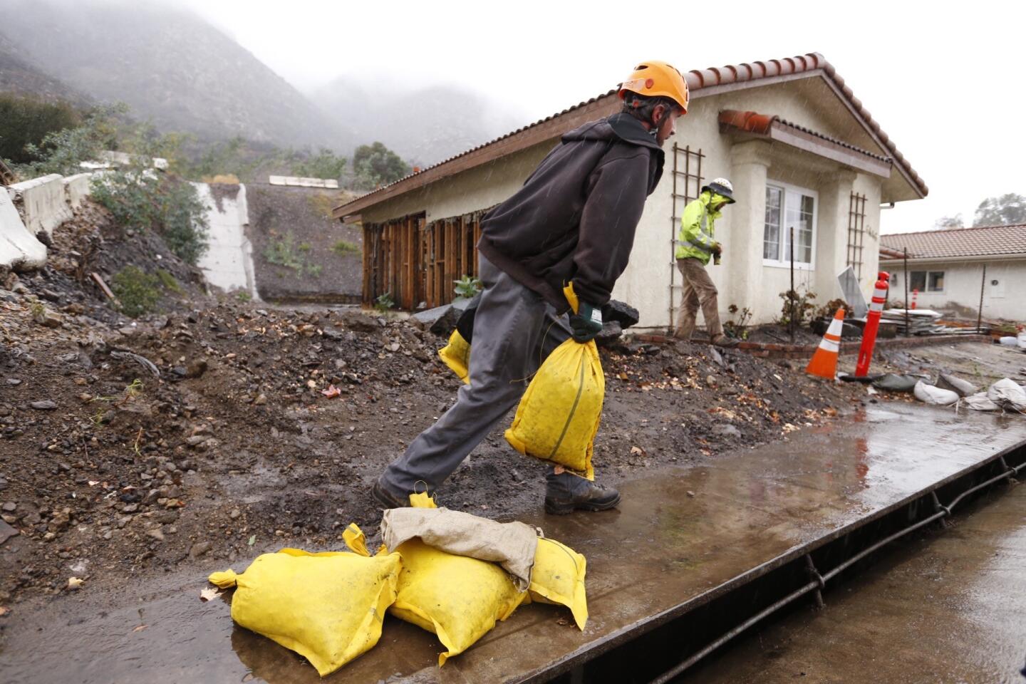
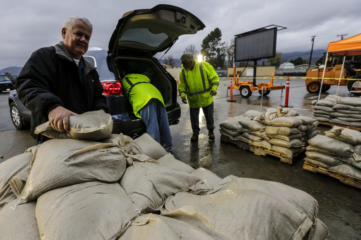
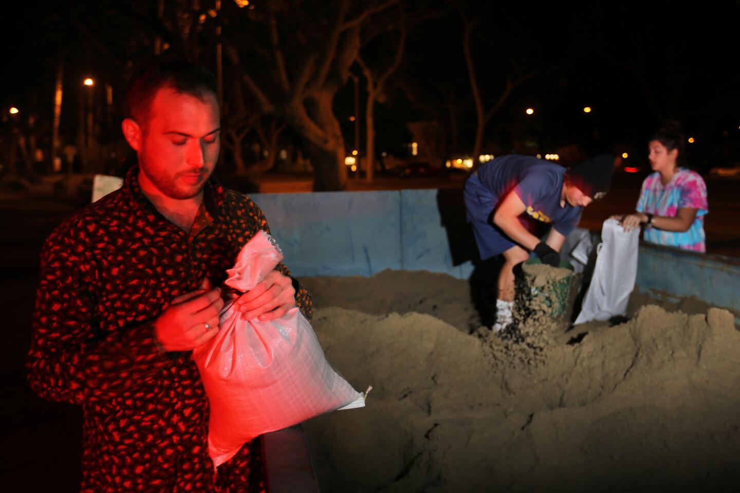
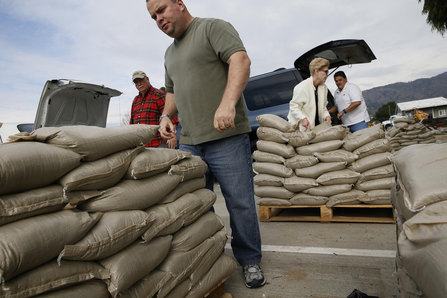
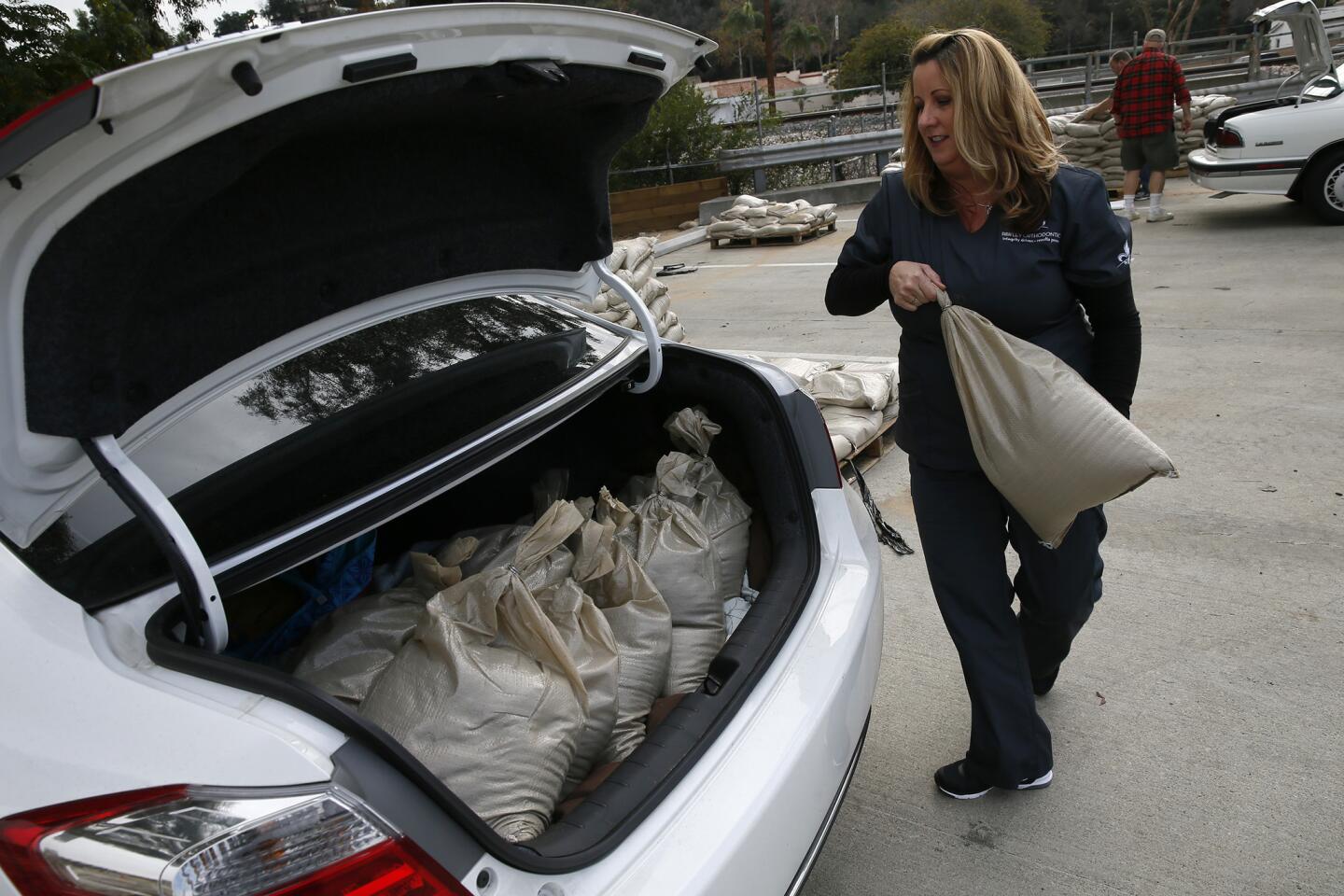
Glendora police announced that the alert status for residents in the impact area of the Colby fire has been raised to yellow, meaning street parking is restricted and roadways need to be cleared. Azusa officials began offering sandbags ahead of potential flooding, which could come as soon as Tuesday.
“Today is definitely more of a preview of what’s to come,” said National Weather Service meteorologist Emily Thornton. “Everybody’s going to have a chance at some rain this week at some point.”
Join the conversation on Facebook >>
The heaviest storm is expected Tuesday, when up to 2 inches of rain is forecast to drop on the coast and valleys and up to 4 inches could pour onto the mountains and foothills.
“Residents of Southern California – especially those living in or below burn area … now is the time to take action,” the National Weather Service said in a statement.
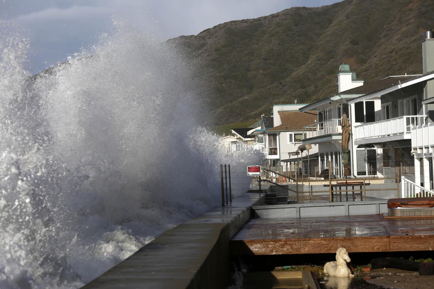
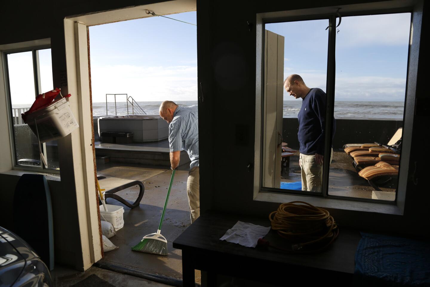
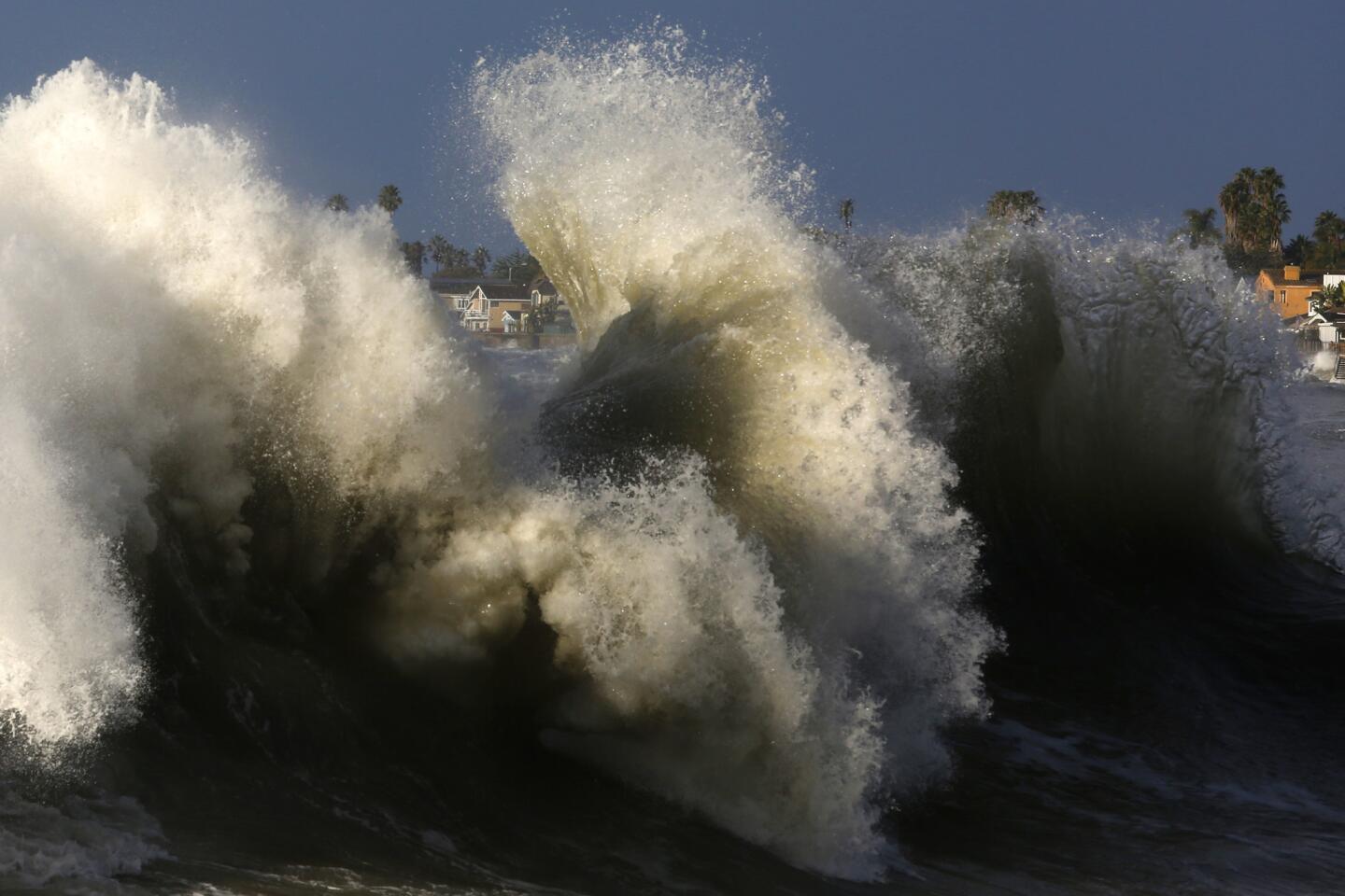
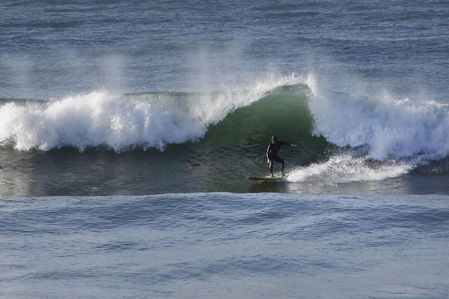
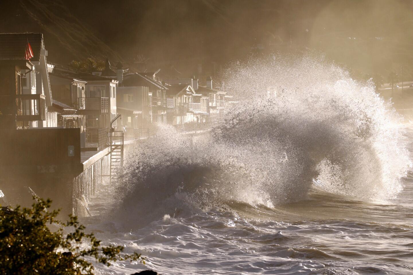
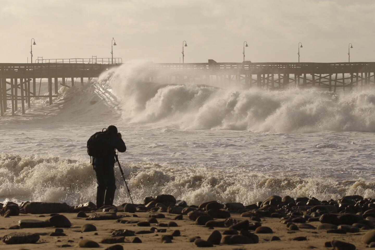
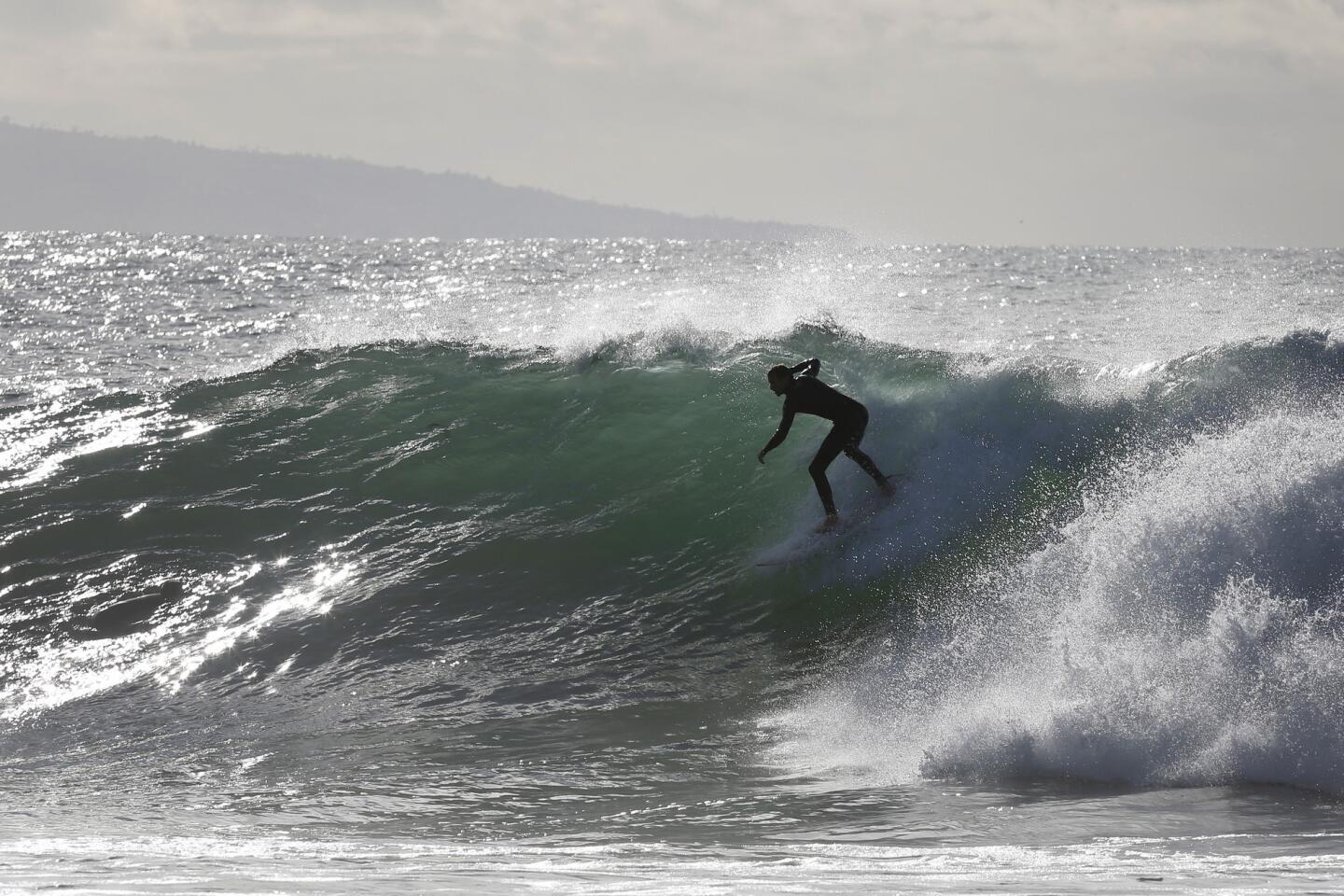
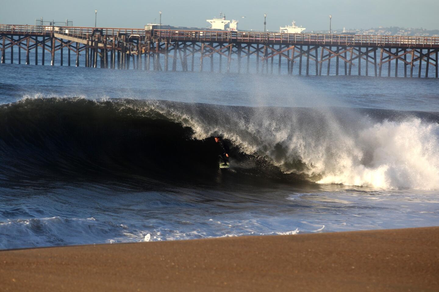
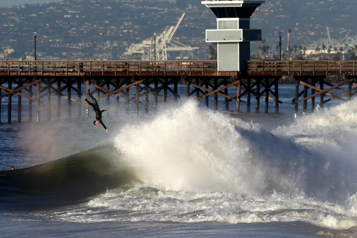
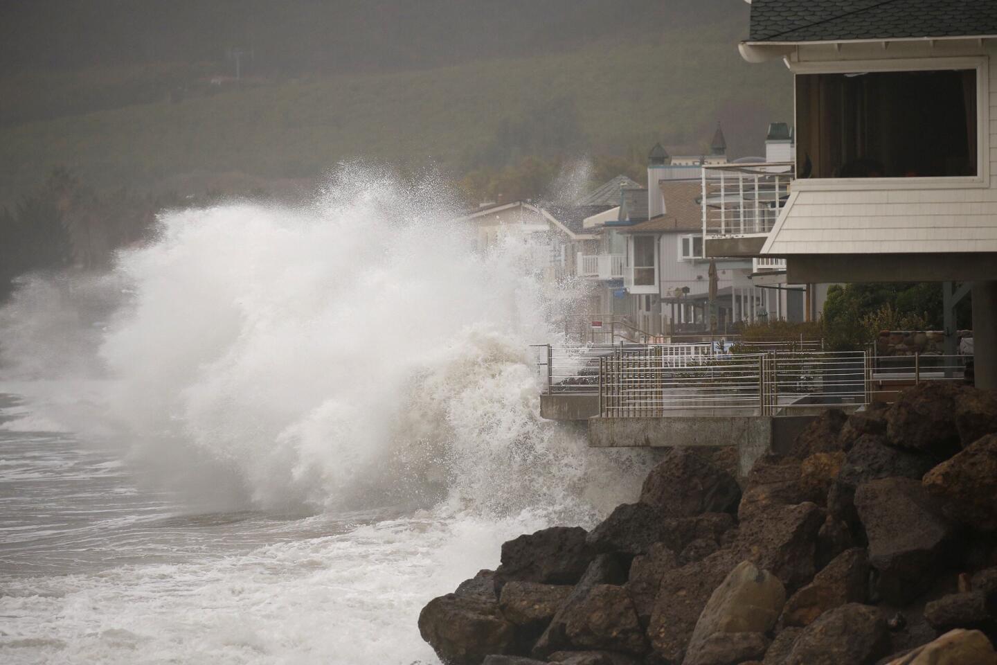
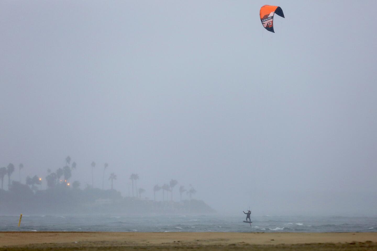
Forecasters expect four storms to hit the Southland by Friday, but caution that rain is only a part of the story. Waves up to 10 feet could slam the coast south of Point Concepcion through Tuesday and grow to as big as 15 feet on Thursday, Thornton said.
Water and Power is The Times’ guide to the drought. Sign up to get the free newsletter >>
The high surf could damage piers – as it did last month in Ventura County – flood shorelines and trigger erosion, Thornton cautioned.
By the middle of the week, the rain will be mixed with wind and cold temperatures.
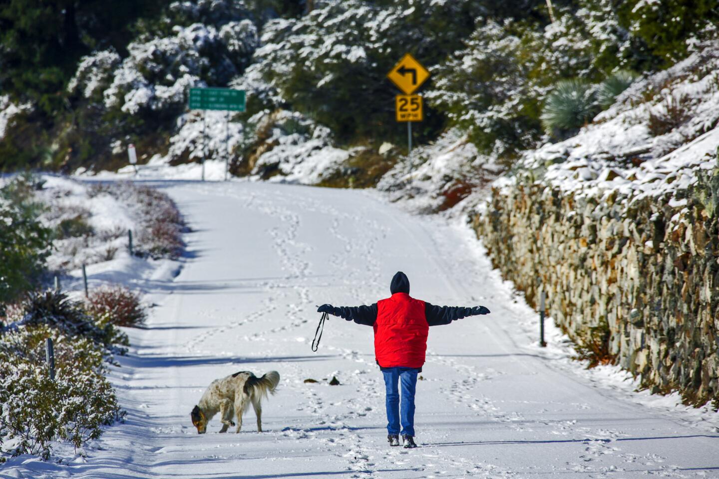
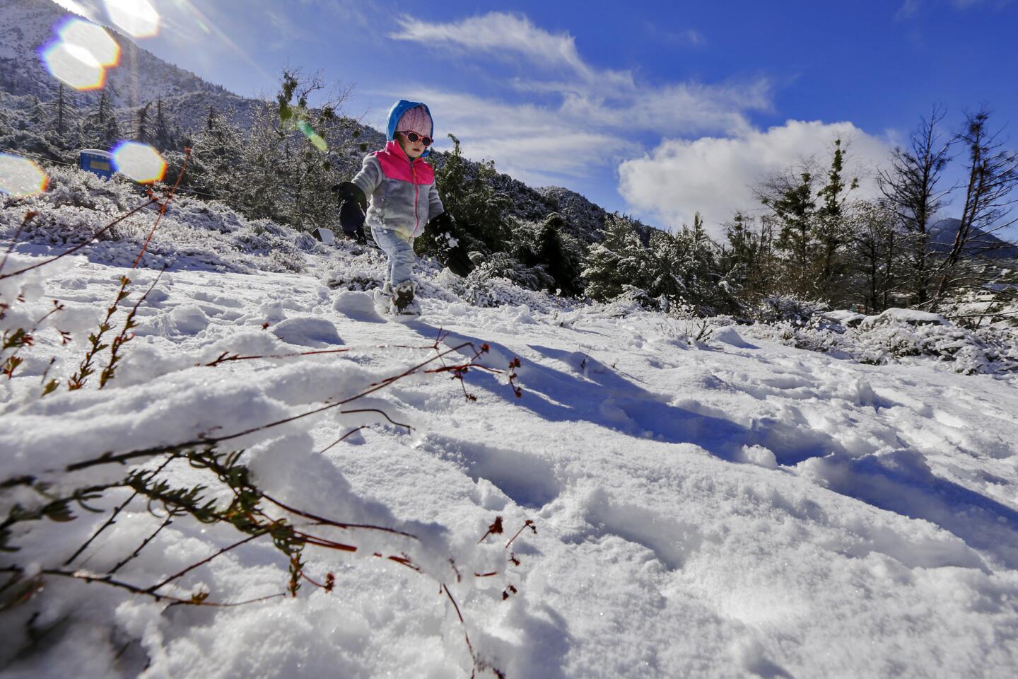
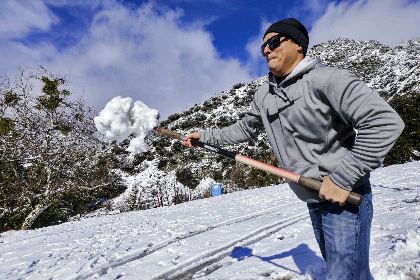
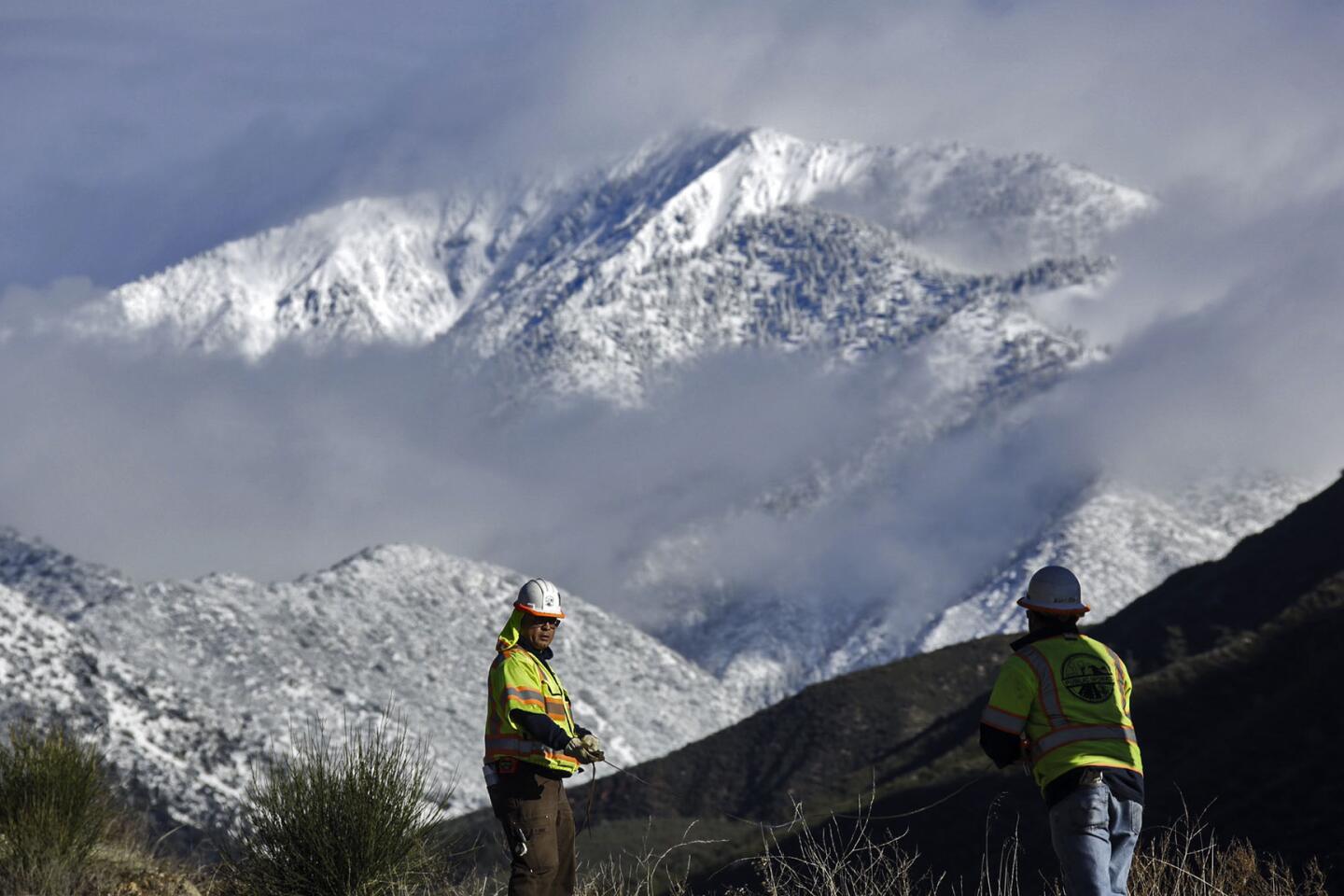
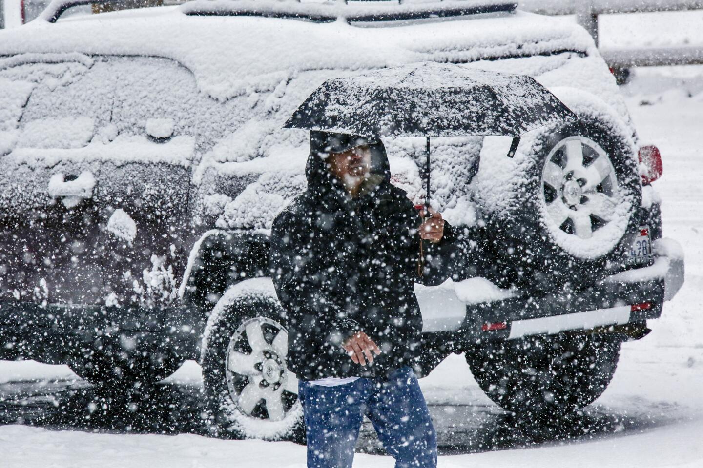
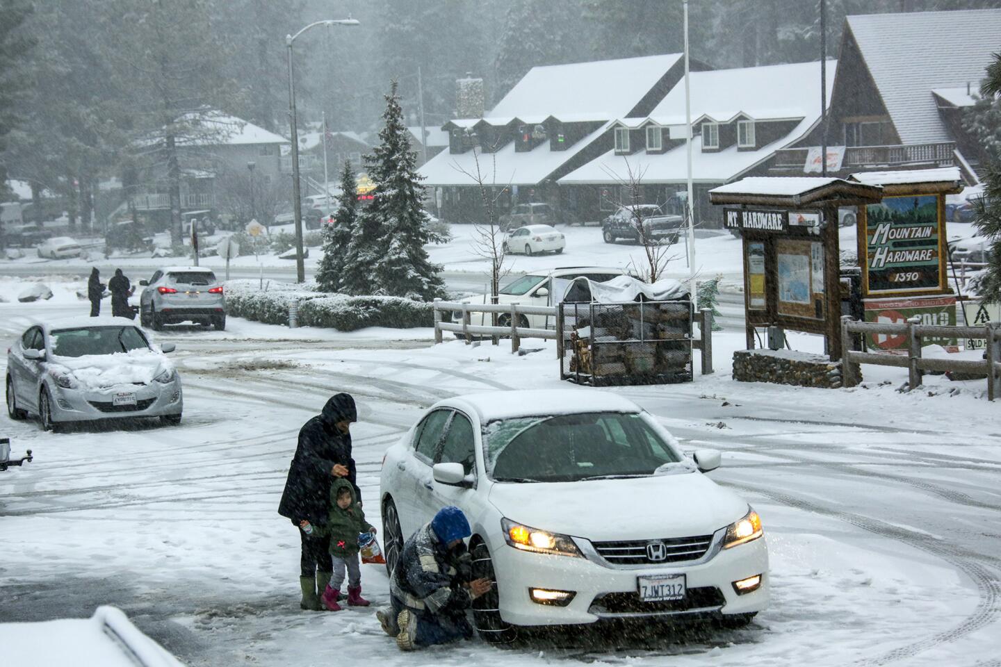
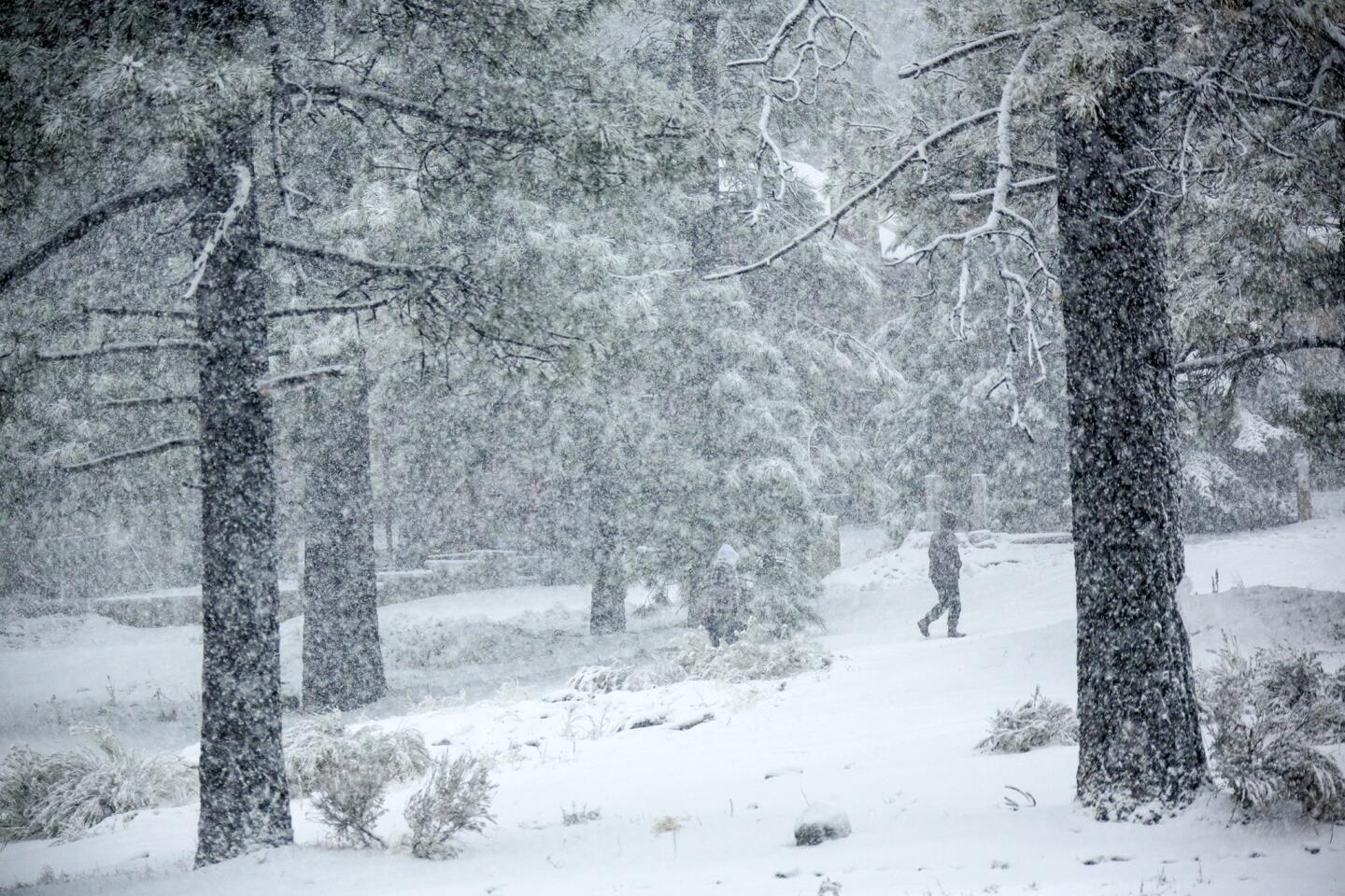
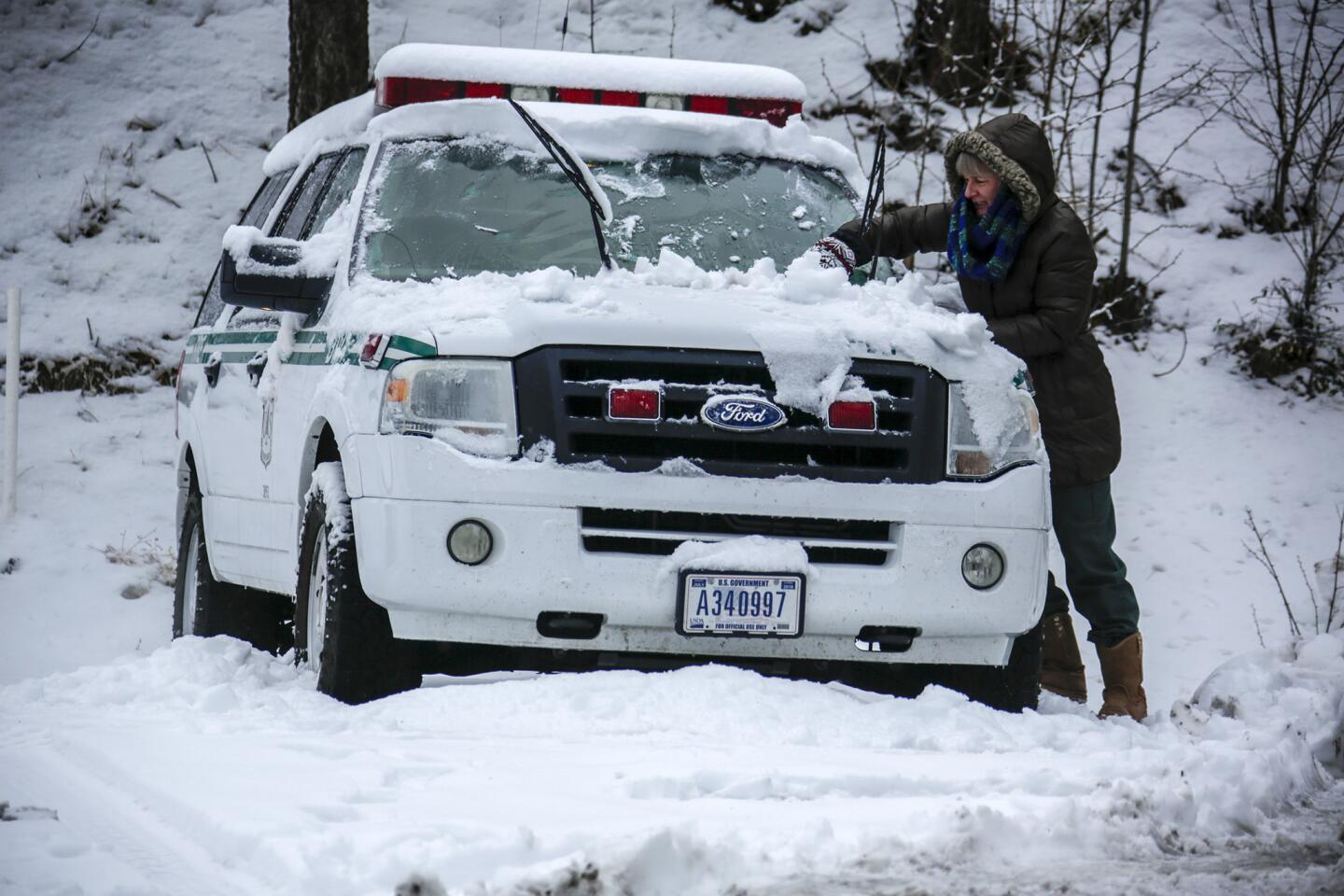
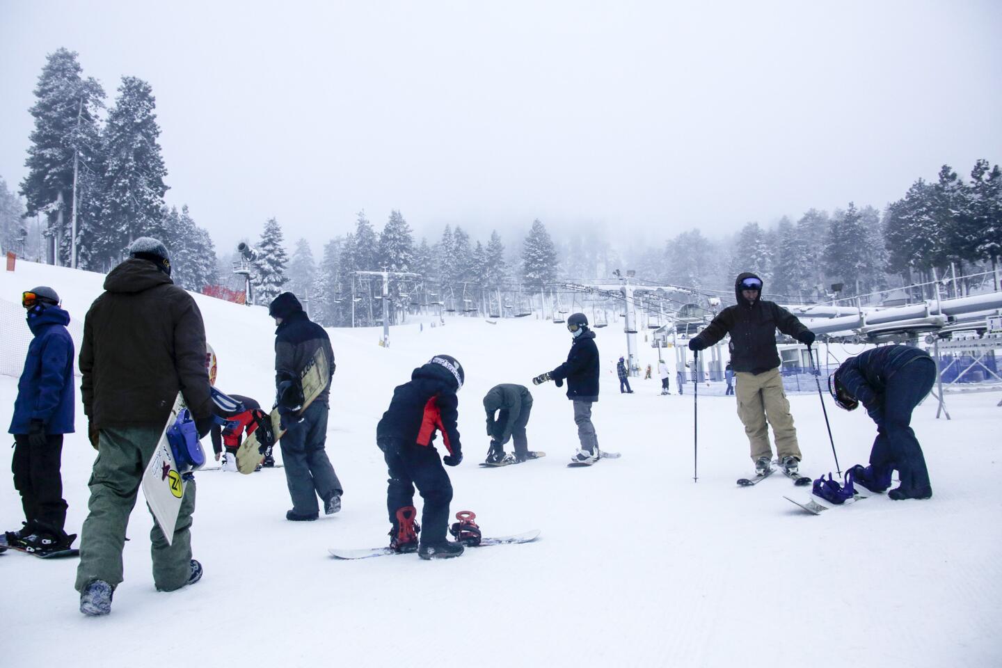
Wind gusts are expected up to 30 mph across the region while upper elevations could feel gusts as strong as 45 mph. The frigid air means it could snow at elevations as low as 4,000 feet, which could complicate the drive on the 5 Freeway through the Grapevine, Thornton said.
The storms are among some of the first effects of El Niño, a series of weather conditions caused by warming of the equatorial waters of the Pacific, weakening rains in South Asia and bringing heavier rains to California. The storms peak in January, February and March.
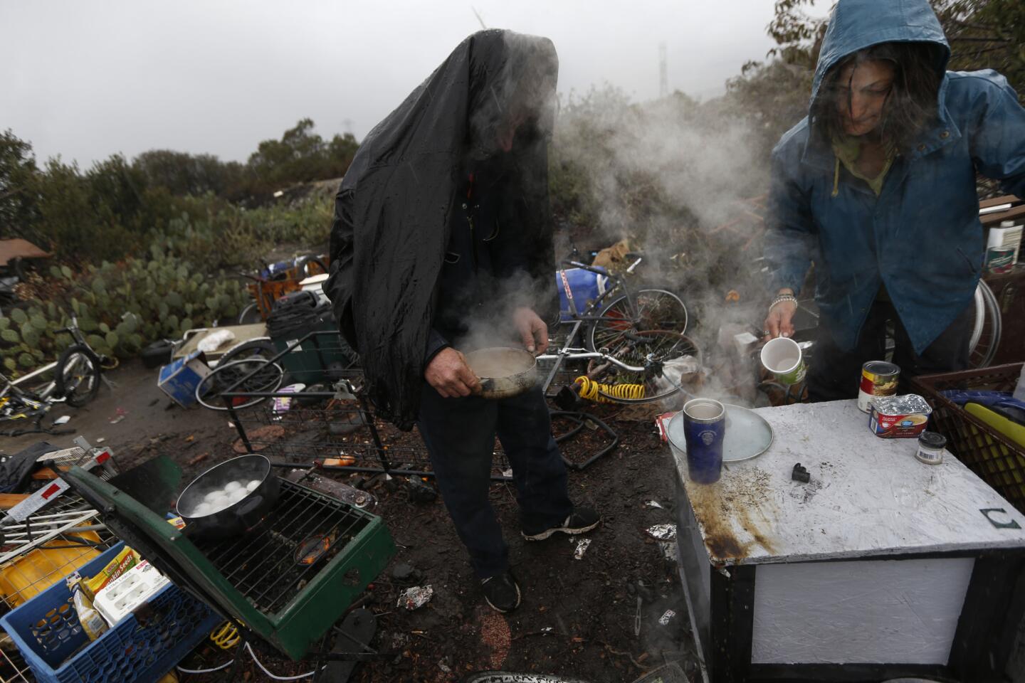
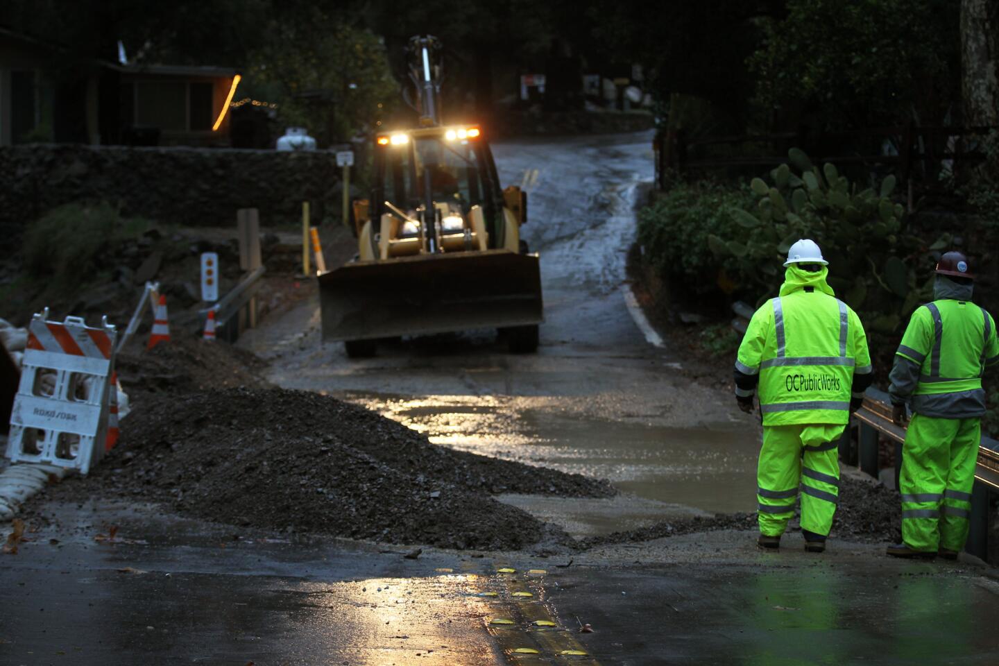
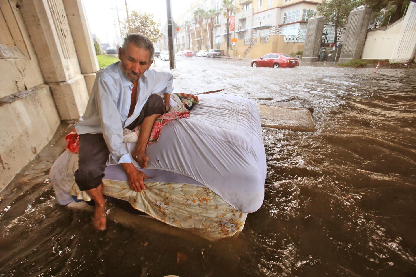
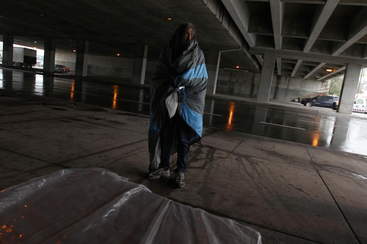
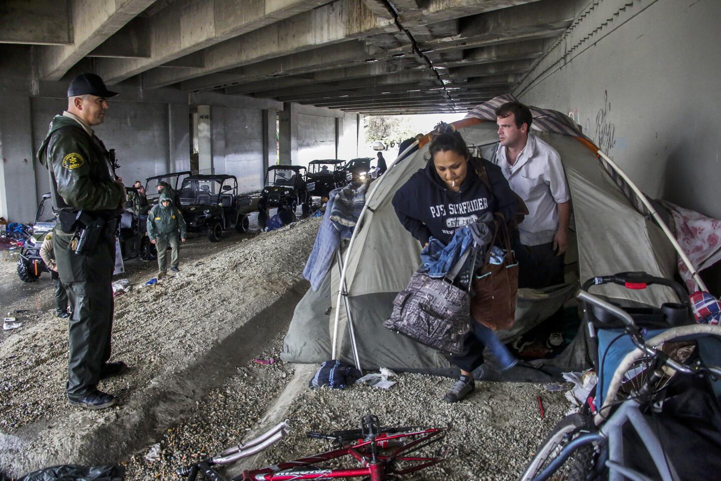
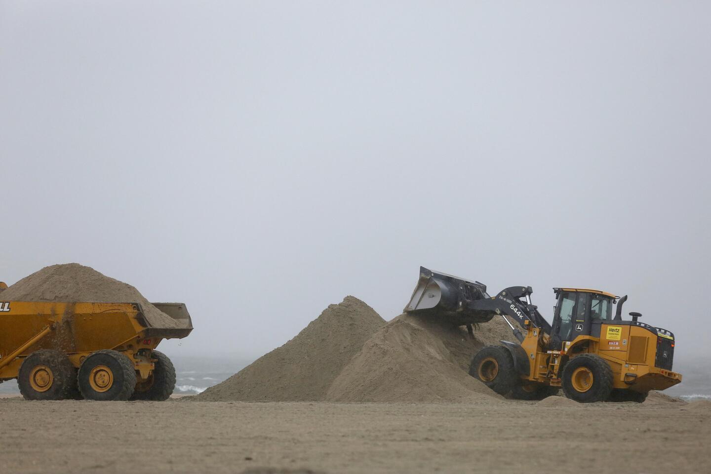
This year’s El Niño is expected to be one of the most powerful ever recorded, and local officials are rushing to make preparations, stockpiling sandbags, clearing culverts and allocating funds to get homeless people off the streets before the storms hit.
For breaking California news, follow @JosephSerna.
ALSO
Video: How to drive in the rain
Are you ready for El Niño? Here’s how to stay safe
28 things to do to prepare for El Niño rains this season
More to Read
Sign up for Essential California
The most important California stories and recommendations in your inbox every morning.
You may occasionally receive promotional content from the Los Angeles Times.
