Jetliner and oil refinery hit by lightning as storm moves through Southern California
- Share via
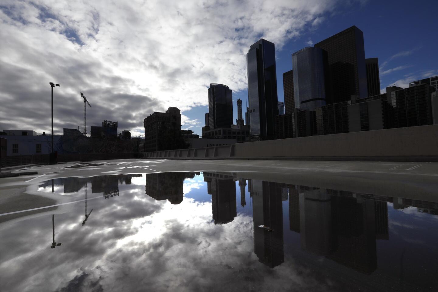
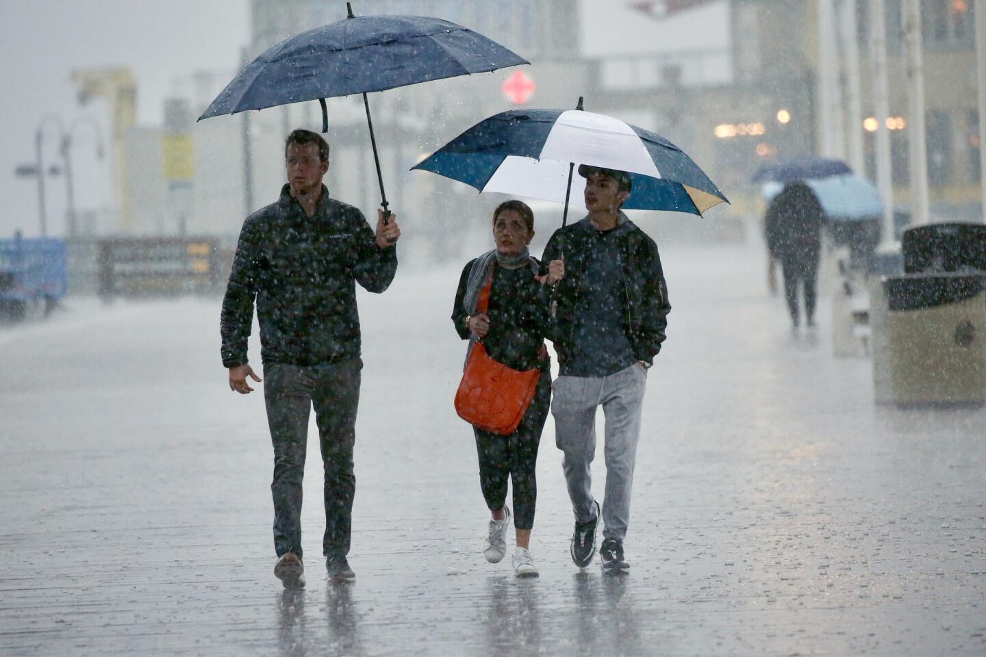
The first of three rainstorms forecast for Southern California pummeled the region Thursday with heavy rain, hail, thunder and lightning, causing flooding and debris flows that forced the closure of Pacific Coast Highway and prompting a passenger jet to make an emergency landing at Los Angeles International Airport.
Ian Gregor, a Federal Aviation Administration spokesman, said the emergency landing of the Jetblue plane was reported around 10:45 a.m. He said the plane had been en route to New York’s Kennedy Airport when it was hit by lightning and turned around. No injuries were reported.
Shortly after, the El Segundo Police Department said lightning had struck the Chevron refinery there, causing a power outage.
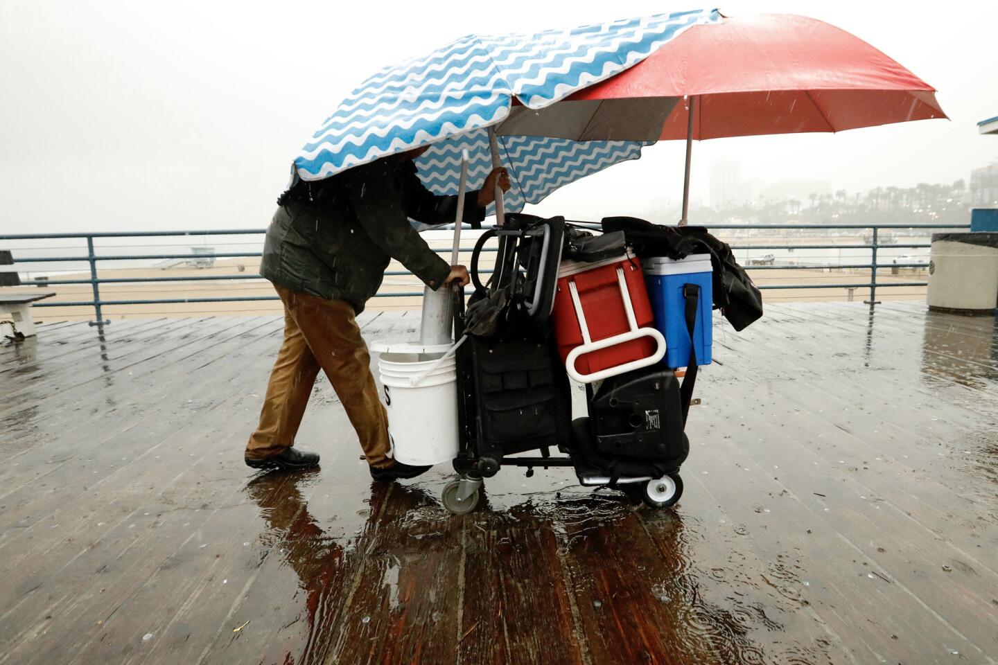
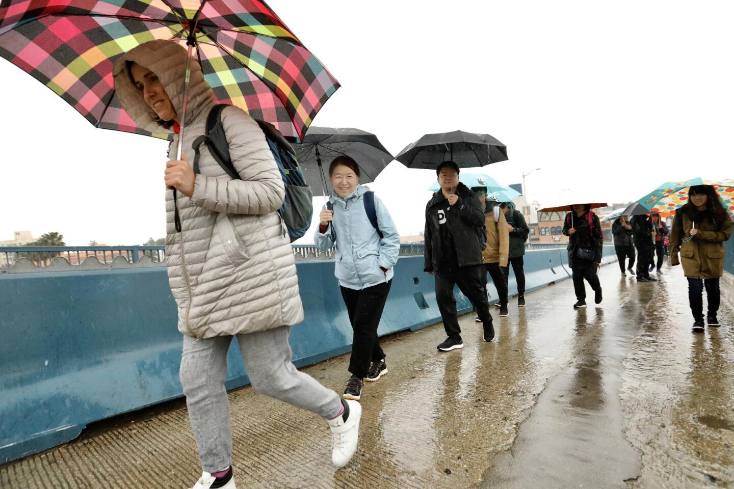
Several beaches in Los Angeles and Orange counties were temporarily closed or evacuated because of lightning. Zuma Beach closed as the storm was passing through, while Santa Monica officials evacuated the beach areas and pier. Some beaches were expected to reopen after the storm.
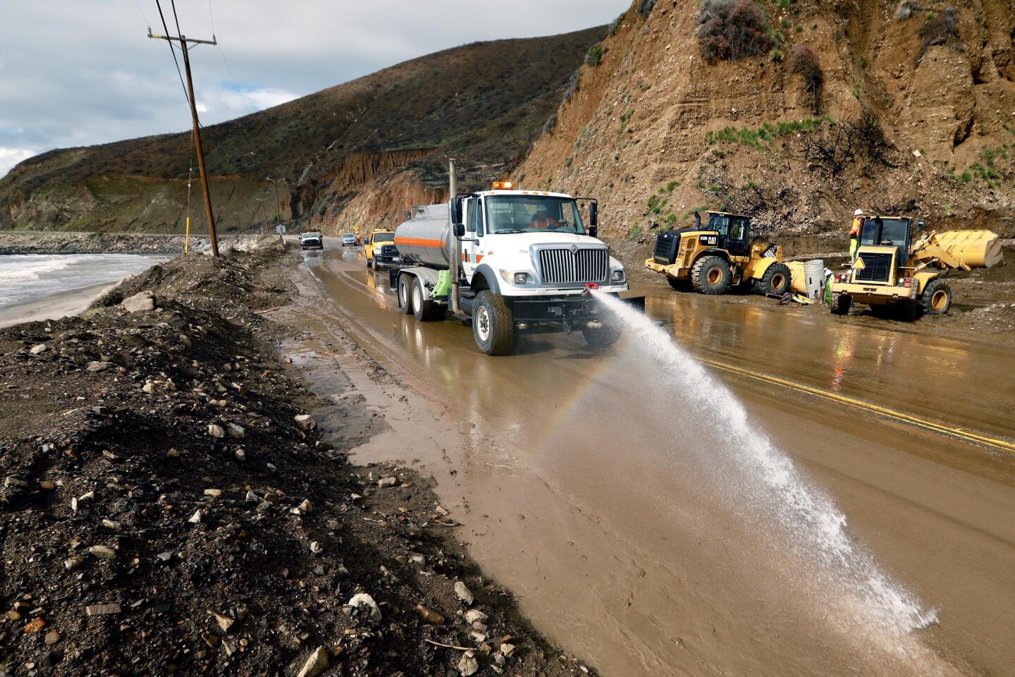
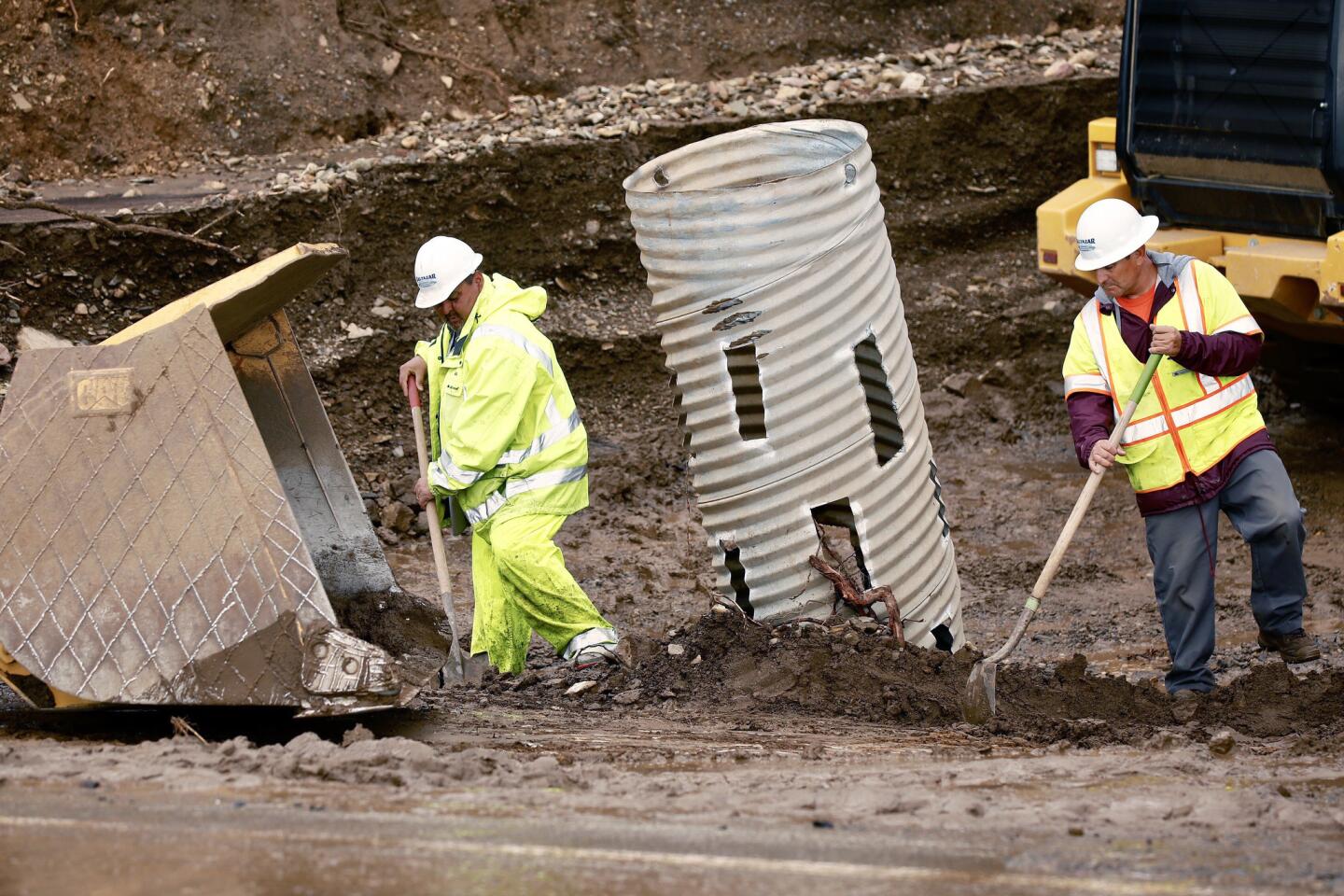
Meanwhile, heavy rain sent gushing mud onto Pacific Coast Highway, closing a portion of the roadwayfor nearly 20 miles from Los Posas Road in Ventura County to Broad Beach Road in Los Angeles County. The duration of the closure is uncertain.
No evacuations have been ordered in the areas recently scarred by the Woolsey fire. However, Riverside County officials issued mandatory evacuation orders for residents affected by the Holy fire and said those in the burn zone from last year’s Cranston fire should also prepare to leave in the event of heavy rain.
The storm dumped a significant amount of rain on Santa Barbara County as it moved over the region early Thursday. Rainfall rates of up to half an inch per hour were measured in some areas, prompting the National Weather Service to issue flood advisories for Santa Barbara and Ventura counties. Forecasters also issued a flash-flood watch for all the most recent burn scars in Los Angeles, Riverside and Orange counties through 3 p.m.
In addition to thunder and rain, forecasters said hail was reported in some areas. Some Los Angeles residents took to Twitter to share videos of small ice pellets landing on the ground or hitting office windows.
While the rainfall rates weren’t heavy enough to cause concerns about mudslides for the area damaged by the Thomas fire in 2017, there could be potential for debris flows and flooding in other areas if the storm maintains its strength, said Keily Delerme, a meteorologist with the National Weather Service in Oxnard.
“It’s been raining pretty much all night here and the storm doesn’t seem to be weakening,” she said.
The slow-moving system could drop more than an inch of rain throughout the day in L.A. County, although predictions call for roughly half an inch of precipitation.
The rain could cause other hazards as well. Authorities in Palmdale have warned the public to avoid city streetlight poles during the storms because of wiring problems that could deliver an electric shock to people when the lights are on in the rain.
The Southland will have a short break from wet weather Friday before a stronger system moves into the region that night. That atmospheric river-fueled storm has the potential to bring gusty southeast winds up to 60 mph and dump 1 to 3 inches of rain through Saturday in Los Angeles County. It also may bring snow to higher elevations.
Atmospheric rivers are fairly long, narrow regions in the atmosphere — similar to rivers in the sky — that can hold as much water as the mouth of the Mississippi River.
“The impacts we’re looking at are downed trees, travel delays and possible shallow debris flows,” said Lisa Phillips, a meteorologist intern with the National Weather Service in Oxnard. “The second storm is the one where you want to stay home.”
While the heavy rain they produce can cause flooding, weather experts say atmospheric rivers aren’t all bad. They also can help replenish dwindling water reserves and contribute beneficial increases in the state’s snowpack.
The state Department of Water Resources said Thursday measurements taken at a survey site showed that the series of storms that brought record rains to the state and massive amounts of snow to the mountains have helped double the snowpack in the Sierra Nevada.
A much weaker third storm arriving Sunday will bring scattered showers that could linger through Monday, forecasters said.
Twitter: @Hannahnfry
More to Read
Sign up for Essential California
The most important California stories and recommendations in your inbox every morning.
You may occasionally receive promotional content from the Los Angeles Times.
