Red-flag warnings expand, with Santa Anas returning late Sunday to Southern California

- Share via
The strength of the offshore wind event in California this weekend could be on a par with the event that caused the devastating fires in the north Bay Area and wine country in 2017, according to the National Weather Service.
Winds are expected to gust from 55 to 75 mph over the highest peaks in Northern California, with some of the strongest winds in North Bay mountains.
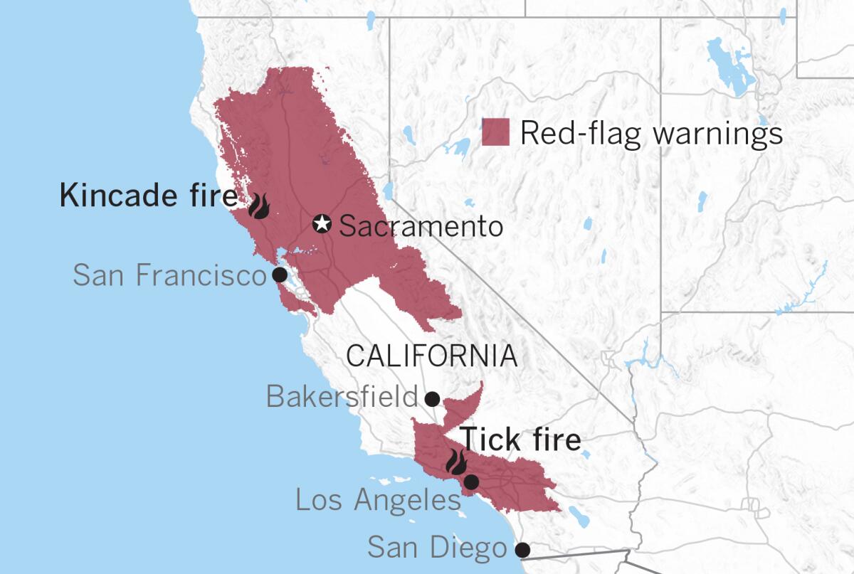
Red-flag warnings that already covered a large swath of Northern California have been expanded southward, and red-flag warnings will be issued for much of Los Angeles and Ventura counties Sunday night into Monday, the weather service said.

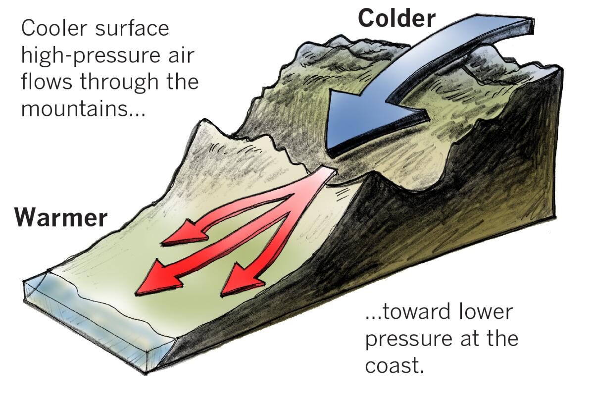
A large, cold upper-level trough of low pressure will dip into Utah on Sunday, then move eastward Monday. This will dump cold air into the Great Basin, launching Santa Ana winds focused on Los Angeles and Ventura counties.
Before the winds arrive, temperatures in Southern California will dip dramatically. Readings will go from 10 to 15 degrees above normal Saturday to 5 to 10 degrees below normal Sunday.
Winds will be 20 to 30 mph with gusts up to 50 mph in L.A. and Ventura counties Sunday night and Monday morning.
After rebounding with onshore flow into early Sunday, relative humidity is expected to plummet rapidly Sunday night and go as low as 5% to 10% on Monday.
Any fires will spread rapidly after ignition with wind-borne embers and extreme fire behavior.
Another round of Santa Ana winds is possible Wednesday and Thursday; this round could be the strongest Southern Californians have seen so far this season.
More to Read
Sign up for Essential California
The most important California stories and recommendations in your inbox every morning.
You may occasionally receive promotional content from the Los Angeles Times.


