Much warmer weather is likely in the Los Angeles region next week

- Share via
In a pattern similar to last week’s heatwave, a ridge developing over the region could bring near triple-digit temperatures to the warmest Southern California valleys again next Wednesday and Thursday, the National Weather Service said.
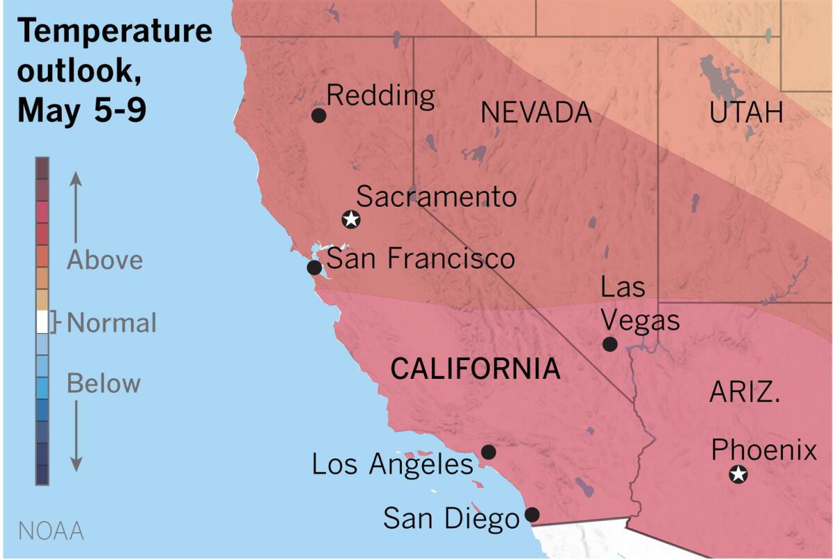
Outlook maps produced by the National Oceanic and Atmospheric Administration show a strong likelihood of above-normal temperatures for Southern California and most of the Southwest in the six- to 10-day forecast.
Models show a ridge of high pressure expanding across Southern California from the south, commencing a warming trend about midweek, the weather service said. The models disagree about the strength of the high-pressure ridge, however. A weak north to northeast flow at lower levels could bring additional heating west of the mountains.
The warm-up follows a slight cooling trend expected to continue through this weekend as increased onshore flow lowers temperatures to about seasonal averages by Sunday, with night and morning low clouds and fog expected through the weekend.
Temperatures for the middle of next week are forecast to be in the low to mid-90s for downtown Los Angeles, with 80s at the coast. Locally gusty winds are likely to continue for southern Santa Barbara County and through the Interstate 5 corridor.
Fire weather concerns are thought to be minimal in Southern California because of moisture from late-season storms, but drought conditions continue in Northern California. Air quality is likely to suffer and officials continue to urge caution about the risk to kids or pets in hot cars — dangers that exist even when the ambient temperature is relatively low.
More to Read
Sign up for Essential California
The most important California stories and recommendations in your inbox every morning.
You may occasionally receive promotional content from the Los Angeles Times.


